Easy hikes and walks around Sedona
4.8
(1185)
13,570
hikers
93
hikes
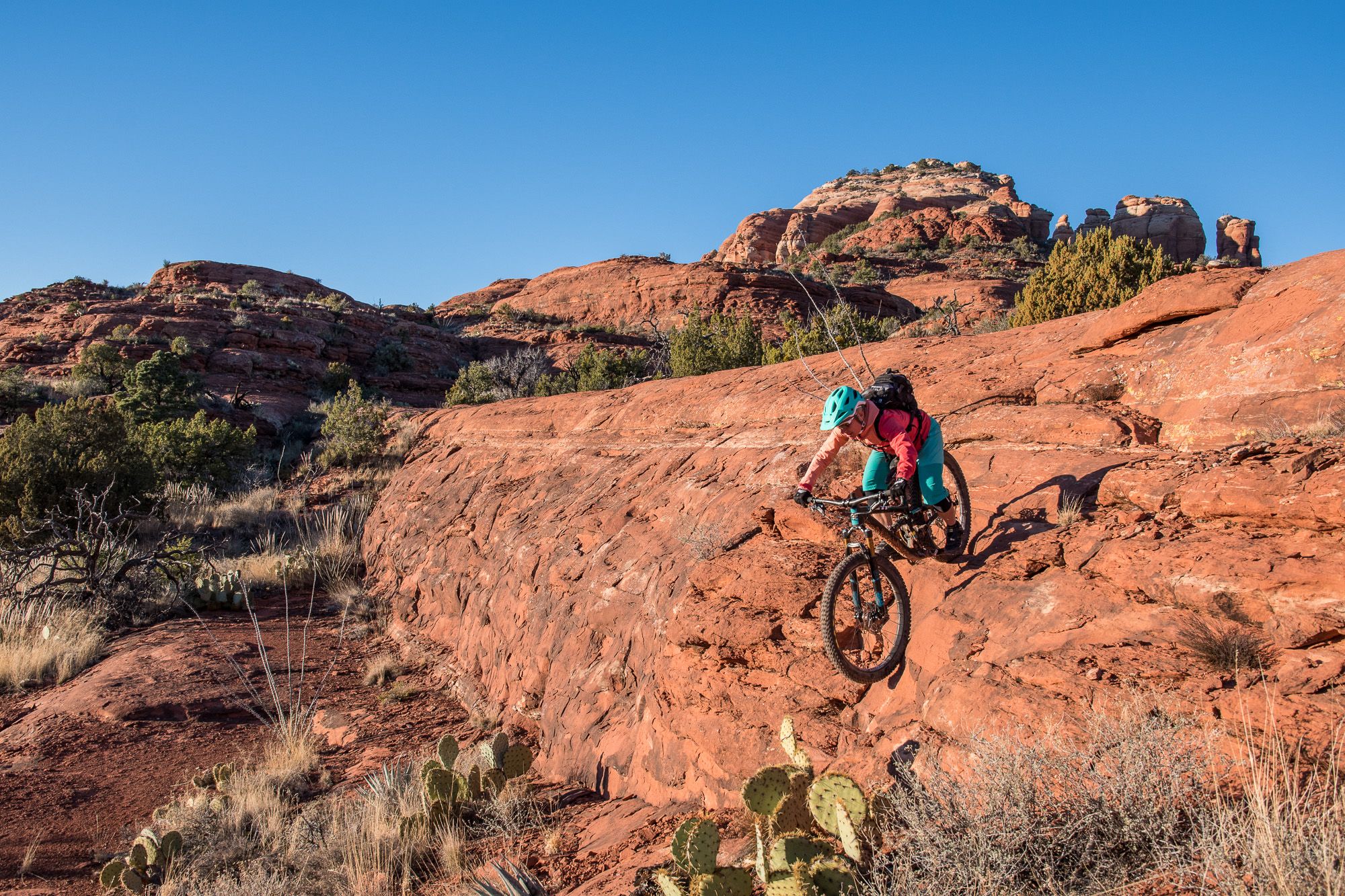
Easy hiking trails around Sedona traverse a landscape defined by iconic red rock formations, extensive trail systems, and unique geological features. The region's vibrant red sandstone structures create a dramatic backdrop for exploration, with multi-terraced skylines, angular formations, and rocky cliffs. Trails weave through forests, canyons, and along streams, offering diverse terrain for hikers. This area is surrounded by national forest land, providing a vast expanse for outdoor activities.
Best easy hiking trails around Sedona
- The most popular easy hiking…
Last updated: August 17, 2026
5.0
(1)
71
hikers
3.26km
00:58
120m
20m
This popular route to Devil's Bridge takes you through classic Sedona red rock scenery, starting with a walk along a dusty unpaved road before transitioning to a more rugged trail.…
5.0
(2)
28
hikers
5.12km
01:23
60m
70m
Embark on the Little Horse, Llama, and Bell Rock Pathway Loop for an easy hiking experience through Sedona's iconic red rock country. This 3.2-mile (5.1 km) route offers varied terrain,…

Sign up for free
5.0
(1)
11
hikers
2.66km
00:42
30m
30m
Embark on the Adobe Jack, Coyote, and Crusty Loop for an easy hike through Sedona's vibrant desert landscape. This 1.7-mile (2.7 km) route offers gentle terrain, with only 84 feet…
5.0
(1)
10
hikers
6.10km
01:41
90m
120m
Embark on the Old Post, Carroll Canyon, and Ridge Trail Loop for an easy hike through Sedona's iconic red rock landscape. This 3.8-mile (6.1 km) route offers varied terrain, from…
4.5
(2)
5
hikers
1.19km
00:22
60m
10m
Embark on an easy hike up the Teacup Trail to Sugarloaf Summit, a short but rewarding journey through classic Sedona high-desert terrain. This route covers 0.7 miles (1.2 km) with…
Get access to more routes and recommendations from other explorers.
Sign up for free
Already have an account?
Our route recommendations are based on thousands of hikes, rides, and runs completed by other people on komoot.
Start today with a free account
Your next adventure awaits.
Login or Signup
Popular around Sedona
Other adventures around Sedona

Tips from the Community

I recommend doing this summit to watch the sunrise, enjoying a 360-degree panorama. About thirty minutes from the Surgarloaf trailhead, bring a headlamp and go up when it is dark, because the show starts at first light, symphonies of color. A must do if you are staying in Sedona.
0
0


The trail up Sugarloaf Summit is one of the most popular trails in Sedona. The views from the top stretch out over Sedona and the Munds Mountain Wilderness off in the distance.
0
0

Devil's Bridge is one of the absolute highlights in the region. Accordingly, many people can be found there, standing in line to have their picture taken on the rock bridge. A visit as early as possible is therefore advisable. The bridge is easily reached via the off-road road that leads from the south to the trailhead.
0
0

Sugarloaf is one of the most popular short hikes in the Sedona area, so plan for crowds. This summit provides views of the city of Sedona directly below and views of various mountains, red rock formations, and "vortexes" in the distance.
0
0
Devil's Bridge is 50 feet high and is the largest natural sandstone arch in the area. Visitors can walk across the top of the "bridge" and get views of the surrounding mountains and valleys and a pretty sweet photo opportunity.
1
0

You shouldn't just focus on the Devil's Bridge and the mostly long queue here. To the left of Devil's Bridge there is a small point from which you have a great panoramic view of the valley.
1
0
Frequently Asked Questions
How many easy hiking trails are available in Sedona?
Sedona offers a wide range of hiking opportunities, with over 100 routes in total. Specifically for easy hikes, you'll find around 39 trails that are perfect for a relaxed outdoor experience.
What natural features or landmarks can I see on easy hikes in Sedona?
Easy hikes in Sedona often lead to breathtaking natural monuments and unique geological formations. You can explore areas near Courthouse Rock, or discover the iconic Devil's Bridge. Many trails also offer views of the famous red rock formations that define the region.
What do other hikers enjoy most about easy hiking in Sedona?
The easy hiking trails in Sedona are highly rated by the komoot community, with an average score of 4.8 stars. Hikers frequently praise the stunning red rock scenery, the well-maintained paths, and the accessibility of trails that offer incredible views without requiring strenuous effort.
Are there easy loop hikes in Sedona?
Yes, Sedona features several easy loop trails that allow you to experience diverse scenery without retracing your steps. A popular option is the Little Horse, Llama, and Bell Rock Pathway Loop, which offers views of prominent landmarks like Bell Rock.
Are easy hiking trails in Sedona family-friendly?
Many easy trails in Sedona are ideal for families. Paths like the Little Horse, Llama, and Bell Rock Pathway Loop are suitable for all ages, providing accessible routes to enjoy the stunning red rock scenery together. Fay Canyon is also known as a family-friendly option.
Are easy hiking trails in Sedona dog-friendly?
Sedona is generally dog-friendly, with many trails welcoming leashed dogs. It's always best to check specific trail regulations before heading out, but most easy paths through the national forest land are suitable for you and your canine companion. Remember to bring plenty of water for both of you.
Is parking available at trailheads for easy hikes in Sedona?
Parking is generally available at most trailheads for easy hikes in Sedona, though some popular spots can fill up quickly, especially during peak seasons. Arriving early is often recommended. Some areas may require a Red Rock Pass for parking, so check signage upon arrival.
Do I need a permit for easy hikes in Sedona?
While many trails in Sedona do not require a specific hiking permit, some trailheads or parking areas within the Red Rock Ranger District may require a Red Rock Pass. This pass helps fund trail maintenance and facilities. You can often purchase these passes on-site or at visitor centers. For more information on passes, you can visit visitsedona.com.
What is the best time of year for easy hikes in Sedona?
The best time for easy hikes in Sedona is typically spring (March to May) and fall (September to November). During these seasons, temperatures are mild and pleasant, making for comfortable hiking conditions. Summer can be very hot, and winter, while often mild, can bring cooler temperatures and occasional snow at higher elevations.
Are there easy hikes in Sedona with shade?
While Sedona is known for its open red rock landscapes, some easy trails do offer sections with more shade, particularly those that wind through canyons or along streams. For example, Fay Canyon is known for its wooded ravine, providing a cooler experience. Always carry plenty of water and consider hiking in the early morning or late afternoon during warmer months.
How long do easy hikes in Sedona typically take?
The duration of easy hikes in Sedona varies, but many can be completed within 1 to 2 hours. For instance, the Devil's Bridge Trail via Dry Creek Road takes about 1 hour, while the Old Post, Carroll Canyon, and Ridge Trail Loop typically takes around 1 hour 40 minutes.
Can I find easy trails that lead to water features or pools?
Yes, some easy trails in Sedona offer access to unique water features. The Soldier's Pass trail, for example, leads to the popular Seven Sacred Pools, a series of natural sinkholes. Oak Creek Canyon also features lush greenery and flowing water, with various trails in the area.
Are there any vortex sites accessible via easy trails?
Sedona is famous for its energy vortexes, and some are accessible via relatively easy trails. Airport Mesa, known for its panoramic views and as a vortex site, offers a loop trail that is generally considered easy. Cathedral Rock, another prominent vortex, has a popular, albeit short, hike with some rock scrambling that can be approached by many.
Most popular attractions around Sedona

Get inspired with the komoot mobile app


Explore more
Browse the best Hikes in other regions.
