Easy hikes and walks in Clear Creek County
4.8
(225)
8,696
hikers
116
hikes
Easy hiking trails in Clear Creek County Colorado traverse a landscape characterized by high-altitude mountain terrain, dense forests, and alpine lakes within the Colorado Rockies. The region offers diverse natural features, including rushing streams and mountain meadows, with over 75% of the county designated as public land. Hikers can expect panoramic views and varied elevation changes, even on easier routes.
Best easy hiking trails in Clear Creek County
- The most popular easy hiking route is Beaver Brook Watershed North Loop…
Last updated: September 27, 2026
7
hikers
5.26km
01:32
130m
170m
Embark on an easy hike through the Beaver Brook Watershed North Loop, a route that winds through diverse landscapes. You will discover peaceful meadows, dense pine forests, and vibrant aspen…
3.58km
01:08
240m
20m
The Rutherford Trail offers a delightful journey through woodlands adjacent to the South Clear Creek, where you'll hear the constant murmur of mini waterfalls. The path transitions from an old…

3.60km
01:11
290m
0m
Embark on an easy hike along the Grizzly Gulch Trail, a pleasant route that winds through varied terrain within the Arapaho National Forest. You will cover 2.2 miles (3.6 km)…
1.62km
00:28
40m
40m
Start your hike to the Wichita State Plane Wreck on an old access road that soon narrows into a defined trail. This easy 1.0-mile (1.6 km) route involves a sustained…
1.58km
00:26
20m
60m
Embark on an easy hike along the Beaver Brook Trail, a peaceful 1.0-mile (1.6 km) route that guides you through serene forests of aspens and evergreens. You will experience a…
1.30km
00:25
100m
0m
Embark on an easy winter hike along the Guanella Pass Winter Road, a short 0.8-mile (1.3 km) route that offers a unique perspective of the Colorado high country. You will…
914m
00:23
130m
0m
The Ruby Gulch Trail is a short but steep hike that quickly immerses you in the serene beauty of Arapaho National Forest. You'll climb through quiet forested valleys, listening to…
1.70km
00:35
150m
0m
The Naylor Lake Road hiking route is an easy 1.1-mile trail with 496 feet of elevation gain, offering views of Naylor Lake.
4.9
(7)
240
hikers
4.56km
01:32
240m
240m
Hike the Chief Mountain Trail, an easy 2.8-mile route in Arapaho National Forest, for panoramic 360-degree views of the Rocky Mountains.
108
hikers
6.38km
01:56
210m
210m
Hike the easy 4.0 miles (6.4 km) Chicago Lakes Trail in Mount Evans Wilderness, passing Echo Lake and Idaho Springs Reservoir.
Get access to more routes and recommendations from other explorers.
Already have an account?
Our route recommendations are based on thousands of hikes, rides, and runs completed by other people on komoot.
Start today with a free account
Your next adventure awaits.
Popular around Clear Creek County

Easy hikes around Echo Hills

Easy hikes around Floyd Hill
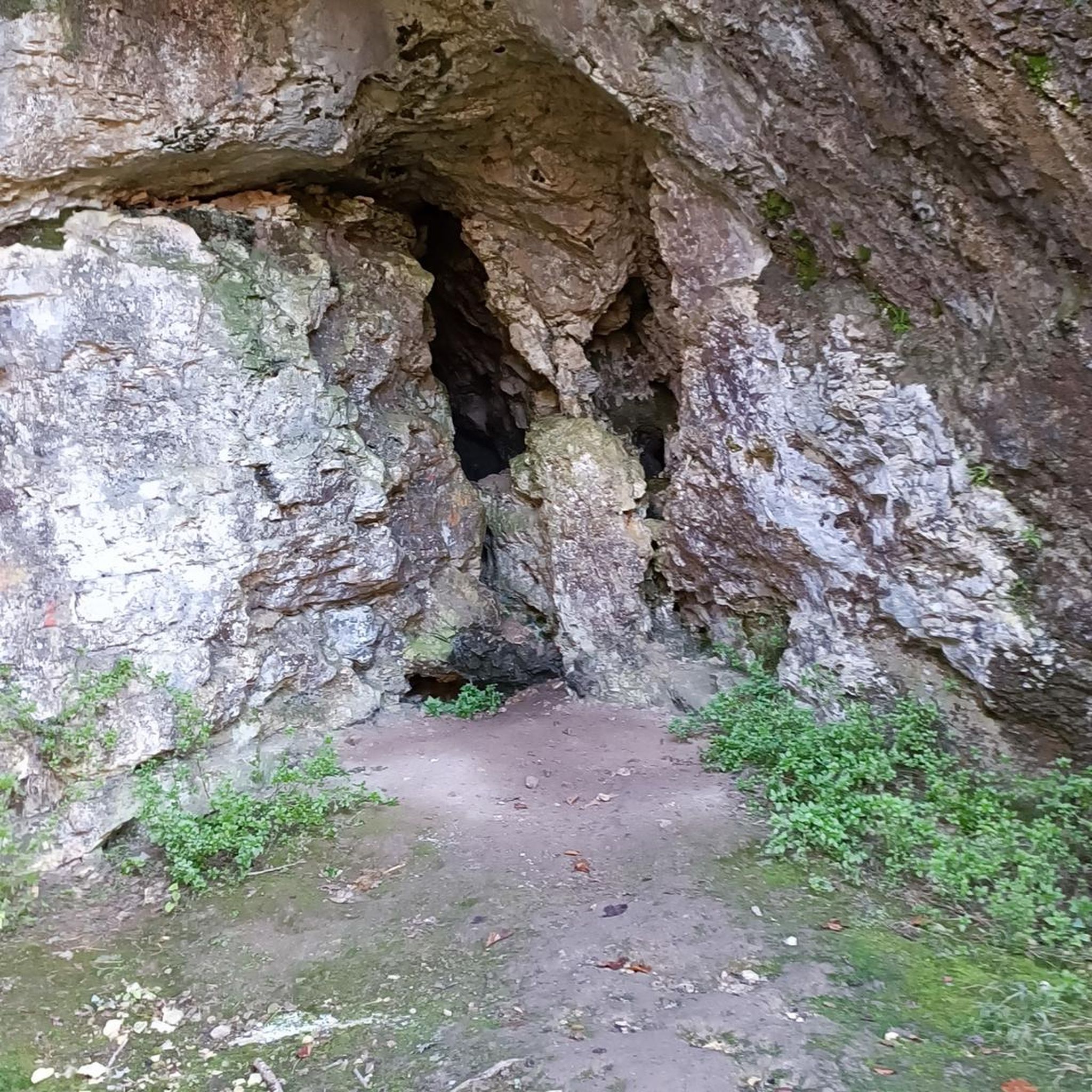
Easy hikes around Idaho Springs

Easy hikes around Upper Witter Gulch
Easy hikes in Mount Evans Wilderness

Easy hikes around Pine Valley

Easy hikes around Georgetown

Easy hikes around Blue Valley

Easy hikes around Empire

Easy hikes around Downieville-Lawson-Dumont
Tips from the Community

You can park here to access the Silver Dollar Lake Trail (nontechnical singletrack / doubletrack). If you prefer to run on the crushed gravel road, parking is full, or if your vehicle can't make it down the gravel track, you can park at Guanella Pass and run in.
0
0

At 10,600 feet, Echo Lake and Echo Lake Mountain Park rest at the base of the 14er Mount Evans. The park area includes some camping (reservations required) and biking and fishing options. There are also running and hiking trails starting and ending at the lake parking area.
0
0

Great 360 view from the top. Careful of storms that can blow in and be sure to stay on the marked trail at the top.
0
0
The trailhead is right at the lifts for Echo Mountain. There is a wide shoulder on the westbound side of the road from where you can see the ski lifts. Heading back towards to the beginning of the parking area, you will find the trailhead going up the mountain as it does a couple quick switchbacks and then navigates through the trees.
0
0
Idaho Springs Reservoir rests in upper Chicago Creek. The alpine lake is only accessible via foot on the Chicago Lakes Trail. There is an access road, but it can only be traveled with a permit that is only offered to Idaho Springs residents.
0
0
The trailhead is right at the lifts for Echo Mountain. There is a wide shoulder on the westbound side of the road from where you can see the ski lifts. Walking back towards to the beginning of the parking area, you will find the trailhead going up the mountain as it does a couple quick switchbacks and then navigates through the trees.
0
0
Great 360 view from the top. Careful of storms that can blow in and be sure to stay on the marked trail at the top.
0
0
Frequently Asked Questions
How many easy hiking trails are available in Clear Creek County?
Clear Creek County offers a good selection of easy hiking trails, with over 25 routes specifically categorized as easy. In total, the region features more than 110 hiking routes across various difficulty levels.
What kind of terrain can I expect on easy hikes in Clear Creek County?
Even on easy routes, you'll experience the quintessential Colorado mountain environment. Expect high-altitude terrain, dense forests, and the possibility of encountering rushing streams and mountain meadows. Many trails offer panoramic views of the surrounding Rockies, even with moderate elevation changes.
Are there any easy loop hikes in Clear Creek County?
Yes, there are several easy loop options. A popular choice is the Beaver Brook Watershed North Loop, which is 3.3 miles long and offers a scenic circuit through the watershed.
What are some short and easy hikes suitable for a quick outing?
For a shorter, easy hike, consider the Beaver Brook Reservoir via Beaver Brook Trail, which is under a mile long. Another option is the Ruby Gulch Trail, which is just under a mile and offers a pleasant walk.
What natural features or landmarks can I see on easy trails?
Many easy trails lead to stunning natural attractions. You might encounter pristine alpine lakes, such as those near Saint Mary's Lake. Trails often provide views of prominent peaks like Mount Sniktau or Grays Peak, even if you're not summiting them directly. The Chief Mountain Trail, for example, offers panoramic 360-degree views of the Rocky Mountains from its summit.
Are there any family-friendly easy hikes in Clear Creek County?
Clear Creek County has several trails suitable for families. The Beaver Brook Reservoir via Beaver Brook Trail is a very short and gentle option. The Beaver Brook Watershed North Loop is also a great choice for families looking for a slightly longer, scenic walk.
What do other hikers enjoy most about the easy trails in Clear Creek County?
The komoot community highly rates the trails in Clear Creek County, with an average score of 4.7 stars. Hikers frequently praise the diverse natural features, including the stunning mountain views, dense forests, and alpine lakes. The well-maintained trails and the sense of being immersed in the Colorado Rockies are also commonly highlighted.
Can I hike in Clear Creek County during winter?
Yes, Clear Creek County offers winter hiking opportunities. Trails like the Guanella Pass Winter Road are accessible and popular for snowshoeing or winter walking, providing a different perspective of the snowy landscape. Always check local conditions and prepare for colder weather.
Are there any trails that offer a glimpse into the region's history?
Many trails in Clear Creek County follow repurposed mining wagon roads and railroad grades. These routes offer a chance to explore relics of the past, such as ghost towns, gold camps, and silver mines, blending nature with the area's rich history. While not explicitly listed in the easy routes, the region's historical context is often present on various trails.
What is the best time of year to visit Clear Creek County for easy hikes?
The best time for easy hikes in Clear Creek County is generally from late spring through early fall (May to October). During these months, trails are typically free of snow, wildflowers are abundant, and the weather is most favorable. However, the region's high-altitude nature means conditions can change rapidly, so always check forecasts.
Are there any easy trails that lead to a lake?
Yes, some easy trails offer access to beautiful lakes. The Chicago Lakes Trail, while having some elevation, is categorized as easy and leads towards the scenic Chicago Lakes. Additionally, the Saint Mary's Lake area offers accessible paths to a beautiful alpine lake.
Where can I find information about parking for easy trailheads?
Parking availability varies by trailhead. Many popular trailheads, especially those leading to well-known routes, have designated parking areas. It's advisable to arrive early, especially on weekends, as spots can fill up quickly. For specific trailhead parking information, you may find additional details on local visitor resources like visitclearcreek.com.
Most popular routes in Clear Creek County
Most popular attractions in Clear Creek County

Get inspired with the komoot mobile app


Didn’t find what you were looking for?
Check out more Hikes throughout Clear Creek County below and find the perfect route in your destination.
Explore more
Browse the best Hikes in other regions.
