Easy hikes and walks in Iron County
4.8
(5)
120
hikers
16
hikes
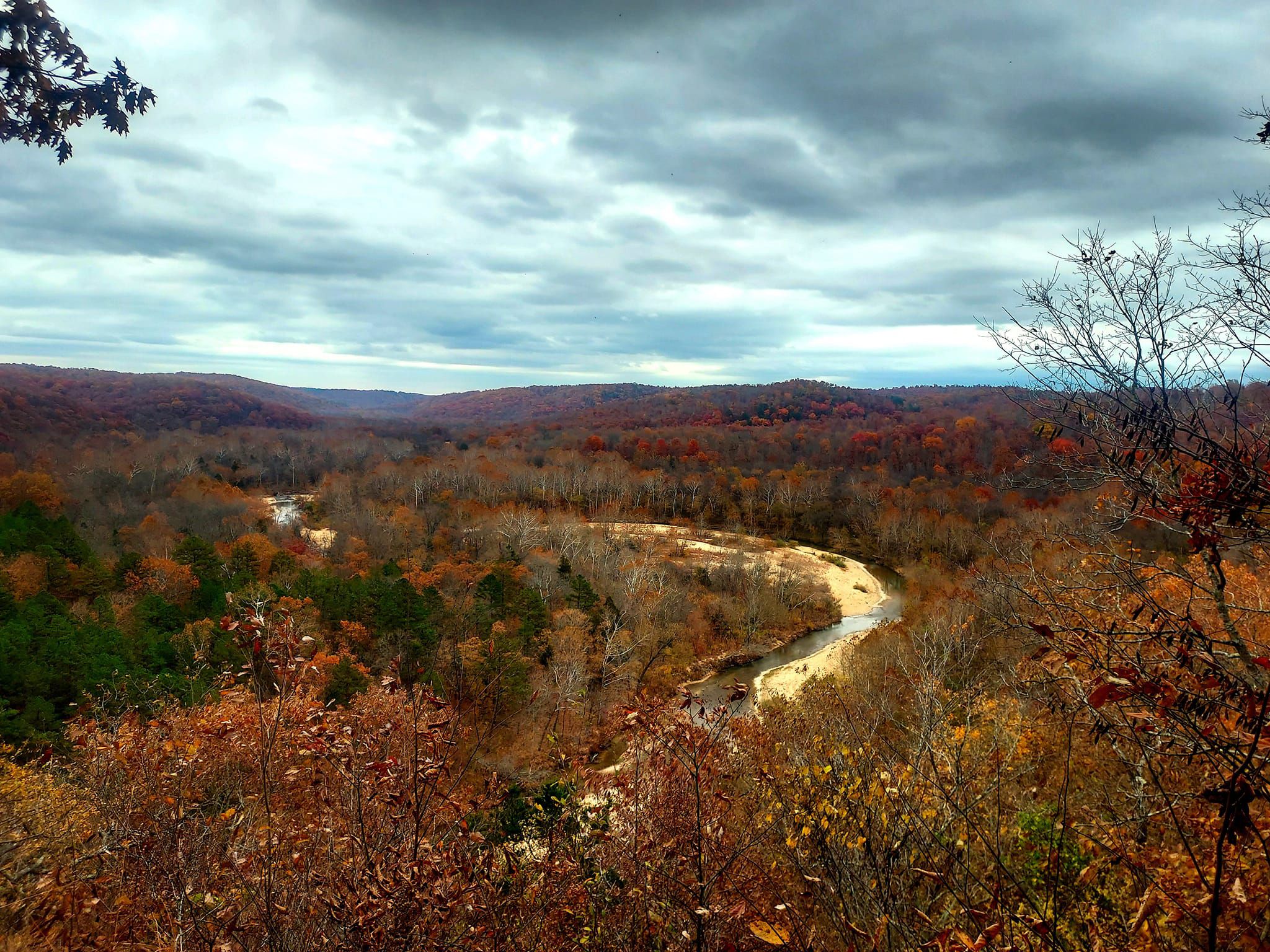
Hiking in Iron County, Missouri, offers diverse terrain characterized by dense woodlands, river valleys, and unique geological formations. The region features rugged landscapes with elevations that provide panoramic views and opportunities to explore natural wonders like waterfalls. Easy hiking trails in Iron County allow access to these varied ecosystems, from forested paths to distinctive rock formations. The area provides a natural setting for outdoor activities, with routes suitable for different preferences.
Best easy hiking trails in Iron County
- The most…
Last updated: August 17, 2026
5.0
(1)
47
hikers
4.86km
01:23
110m
110m
The Mina Sauk Falls Trail offers a rugged journey through the heart of the Missouri Ozarks, leading to the state's tallest waterfall. You'll navigate rocky paths and steep descents, winding…
5.0
(1)
5
hikers
6.53km
01:50
130m
130m
The Shut-Ins Trail Loop offers a truly distinctive hiking experience, winding through an oak-hickory forest and revealing the geological marvels of Johnson's Shut-Ins State Park. You'll follow the East Fork…

Sign up for free
5.0
(1)
4
hikers
2.39km
00:38
20m
20m
Hike the easy 1.5-mile Braille Trail in Elephant Rocks State Park, a multi-sensory loop featuring unique red granite formations.
6.58km
01:47
90m
90m
Hike the easy 4.1-mile Lindsey Mountain Trail in Mark Twain National Forest, gaining 309 feet for scenic views.
5.0
(1)
24
hikers
3.87km
01:05
70m
70m
Easy hike. Great for any fitness level. Easily-accessible paths. Suitable for all skill levels.
Get access to more routes and recommendations from other explorers.
Sign up for free
Already have an account?
Our route recommendations are based on thousands of hikes, rides, and runs completed by other people on komoot.
Start today with a free account
Your next adventure awaits.
Login or Signup
Popular around Iron County
Other adventures in Iron County

Tips from the Community

The engine house was originally built to repair trains in the 1890s. It was also used to quarry operations in what is now the state park.
0
0
The eastern portion of this trail runs along the East Fort of the Black River which flows through rock formations that form natural water pools and chutes which are called "shut-ins".
0
0
Located in Taum Sauk Mountain State Park, these falls at 132 feet are the tallest waterfall in Missouri. The view over the top of the waterfall offers an impressive view of the St Francois Mountains.
0
0
Lindsey Mountain is the 2nd highest point in the Bell Mountain Wlderness and offers great views from it's summit.
0
0
The elephant rocks are giant boulders that stand end-to-end and look like a train of circus elephants. The rocks were formed from 1.5-billion-year-old granite,
0
0
Frequently Asked Questions
How many easy hiking trails are available in Iron County, Missouri?
Iron County, Missouri, offers at least 6 easy hiking trails. These routes provide access to diverse terrain, including dense woodlands, river valleys, and unique geological formations.
Are there any easy loop trails in Iron County, Missouri?
Yes, several easy loop trails are available. The Shut-Ins Trail Loop is a popular 4.1-mile (6.5 km) option that navigates through distinctive geological formations. Another option is the Hiking loop from Centerville, which is about 2.4 miles (3.87 km) long.
What are some family-friendly easy hikes in Iron County, Missouri?
For families, the Braille Trail is an excellent choice. It's a 1.5-mile (2.4 km) accessible path through dense woodlands, offering a sensory experience. The Mina Sauk Falls Trail, leading to Missouri's tallest waterfall, is also a rewarding 3.0-mile (4.9 km) option for families.
Can I bring my dog on easy hikes in Iron County, Missouri?
Many trails in Iron County, Missouri, are dog-friendly, but it's always best to check specific park or trail regulations before you go. Generally, dogs are welcome on leash in state parks and national forests. For example, trails like the Mina Sauk Falls Trail are often suitable for leashed dogs.
Are there any waterfalls on the easy hiking trails in Iron County, Missouri?
Yes, the Mina Sauk Falls Trail leads directly to Mina Sauk Falls, which is Missouri's tallest waterfall. This 3.0-mile (4.9 km) easy hike offers a rewarding natural highlight.
What kind of natural attractions can I see along easy hiking trails in Iron County, Missouri?
Beyond Mina Sauk Falls, you can explore unique geological formations known as 'shut-ins' along the Shut-Ins Trail Loop. The region also features dense woodlands, river valleys, and areas like Elephant Rocks, a natural monument with giant granite boulders, and sections of the Mark Twain National Forest.
Are there any accessible trails for hikers with mobility considerations in Iron County, Missouri?
Yes, the Braille Trail is designed to be accessible, offering a unique sensory experience through the forest environment. It's a 1.5-mile (2.4 km) path suitable for a wider range of visitors.
What do other hikers say about the easy trails in Iron County, Missouri?
The easy trails in Iron County are highly regarded by the komoot community, with an average rating of 4.8 stars from over 8 reviews. Hikers often praise the diverse terrain, the unique geological formations, and the natural beauty of areas like Mina Sauk Falls.
What is the typical length and duration of easy hikes in Iron County, Missouri?
Easy hikes in Iron County vary in length. For instance, the Braille Trail is about 1.5 miles (2.4 km) and takes around 38 minutes. Longer easy options include the Mina Sauk Falls Trail at 3.0 miles (4.9 km), typically completed in 1 hour 23 minutes, and the Shut-Ins Trail Loop at 4.1 miles (6.5 km).
When is the best time to enjoy easy hikes in Iron County, Missouri?
Iron County, Missouri, offers beautiful hiking opportunities throughout the year. Spring brings lush greenery and blooming wildflowers, while autumn showcases vibrant fall foliage, making both seasons particularly scenic. Summer is also popular, though it can be warm, and winter offers a quiet, serene experience, especially after a fresh snowfall.
Are there any shorter easy trails for a quick outing in Iron County, Missouri?
Yes, for a shorter outing, the Braille Trail is an excellent choice. It's a 1.5-mile (2.4 km) path that can typically be completed in under 40 minutes, offering a pleasant walk through dense woodlands.
What kind of wildlife might I spot on easy hikes in Iron County, Missouri?
Iron County's diverse ecosystems, including dense woodlands and river valleys, support various wildlife. Hikers might spot white-tailed deer, wild turkeys, and a variety of bird species. Keep an eye out for smaller mammals and reptiles, especially near water sources.
Most popular routes in Iron County
Most popular attractions in Iron County

Get inspired with the komoot mobile app


Explore more
Browse the best Hikes in other regions.
