Easy hikes and walks in Allegany County
4.7
(8)
94
hikers
17
hikes
Easy hiking trails in Allegany County traverse diverse landscapes, including dense woodlands, river valleys, and rolling hills within the Appalachian region. The county features over 70,000 acres of public land and extensive trail networks, offering varied terrain for outdoor enthusiasts. Notable natural features include the crystal-clear waters of Lake Habeeb and scenic overlooks of the Potomac River Valley. This region provides accessible paths for those seeking less strenuous walks amidst natural beauty.
Best easy hiking trails in Allegany County
- The…
Last updated: September 27, 2026
4.58km
01:13
50m
40m
The Bishop Walsh to Cumberland Overlook trail offers a delightful escape into nature, leading you along a well-worn path that transitions to a dirt road. This easy 2.8-mile (4.6 km)…
2.18km
00:43
150m
40m
Enjoy an easy 1.4-mile hike to High Rock viewpoint in Savage River State Forest, offering scenic views and a quick outdoor escape.

3.38km
01:03
130m
120m
The Ardalia Trail and Zapolean Loop is an easy 2.1-mile hike in Eidolon Nature Preserve, taking just over an hour to complete.
8
hikers
3.27km
00:53
40m
40m
Easy hike. Great for any fitness level. Easily-accessible paths. Suitable for all skill levels.
5.0
(2)
10
hikers
4.60km
01:21
130m
130m
Easy hike. Great for any fitness level. Easily-accessible paths. Suitable for all skill levels.
5
hikers
4.58km
01:15
70m
70m
Easy hike. Great for any fitness level. Easily-accessible paths. Suitable for all skill levels.
Get access to more routes and recommendations from other explorers.
Already have an account?
Our route recommendations are based on thousands of hikes, rides, and runs completed by other people on komoot.
Start today with a free account
Your next adventure awaits.
Popular around Allegany County

American Discovery Trail — Walking from sea to shining sea
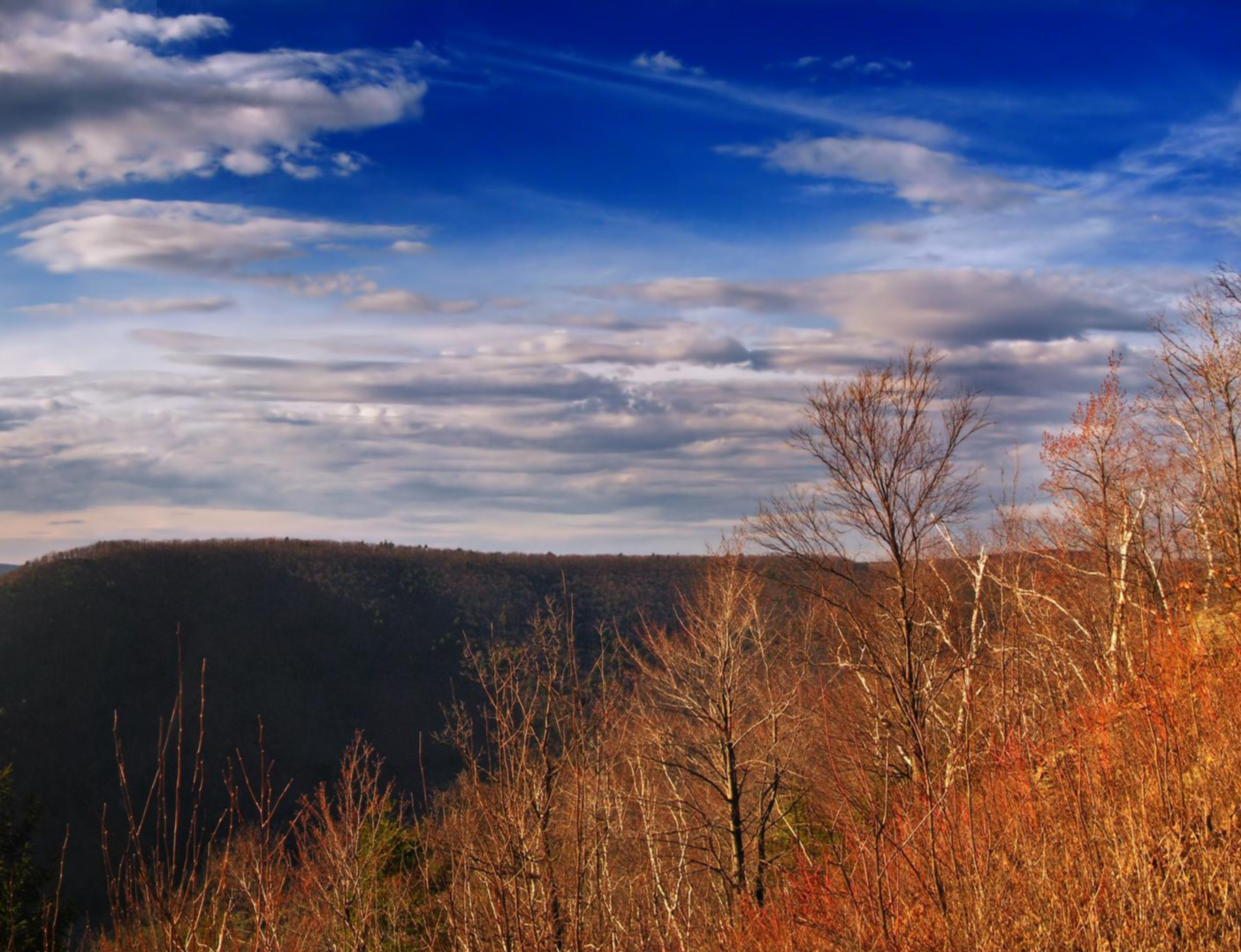
Mid State Trail — Traversing the Pennsylvania divide
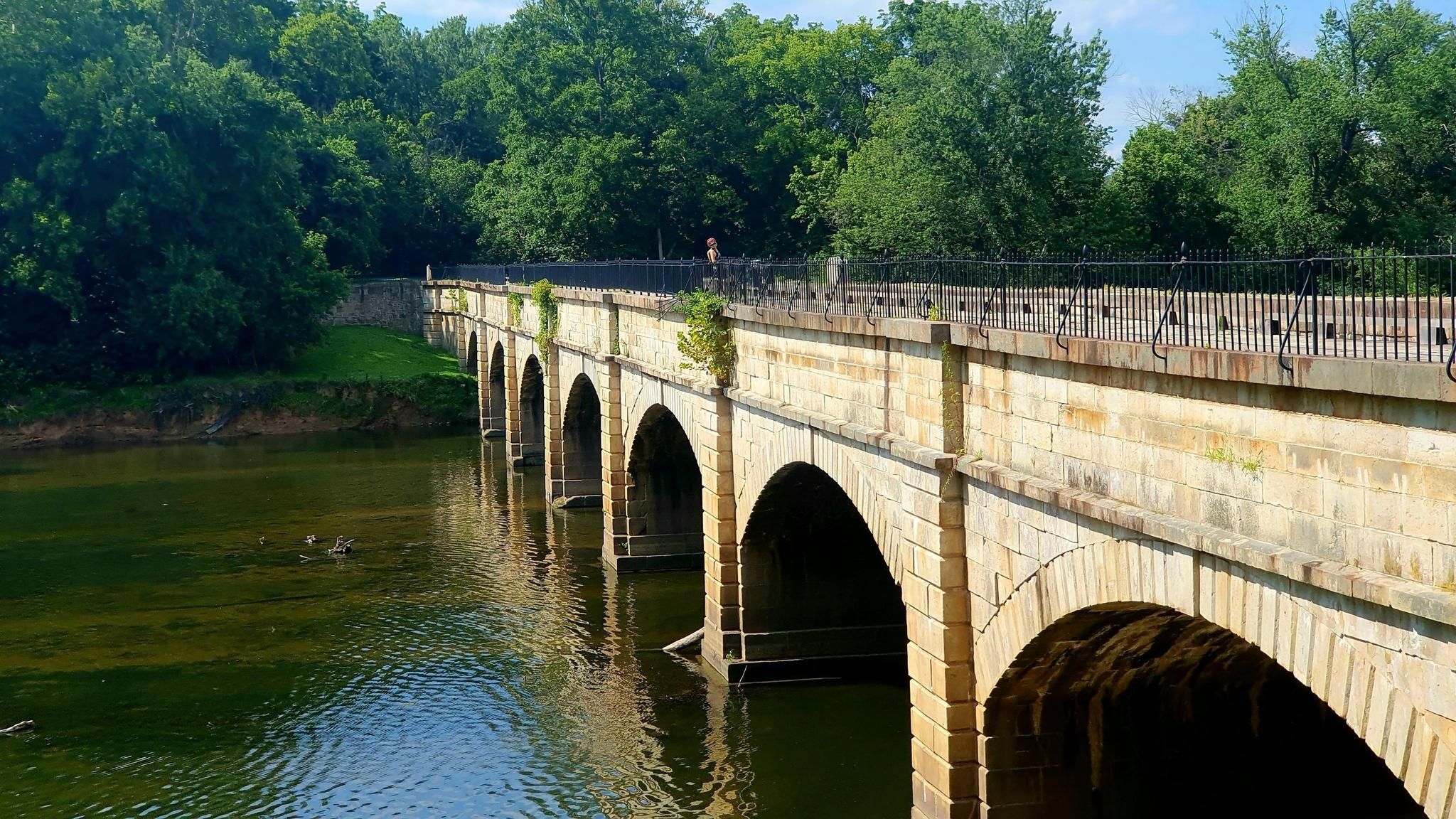
Potomac Heritage National Scenic Trail — Exploring a historic corridor
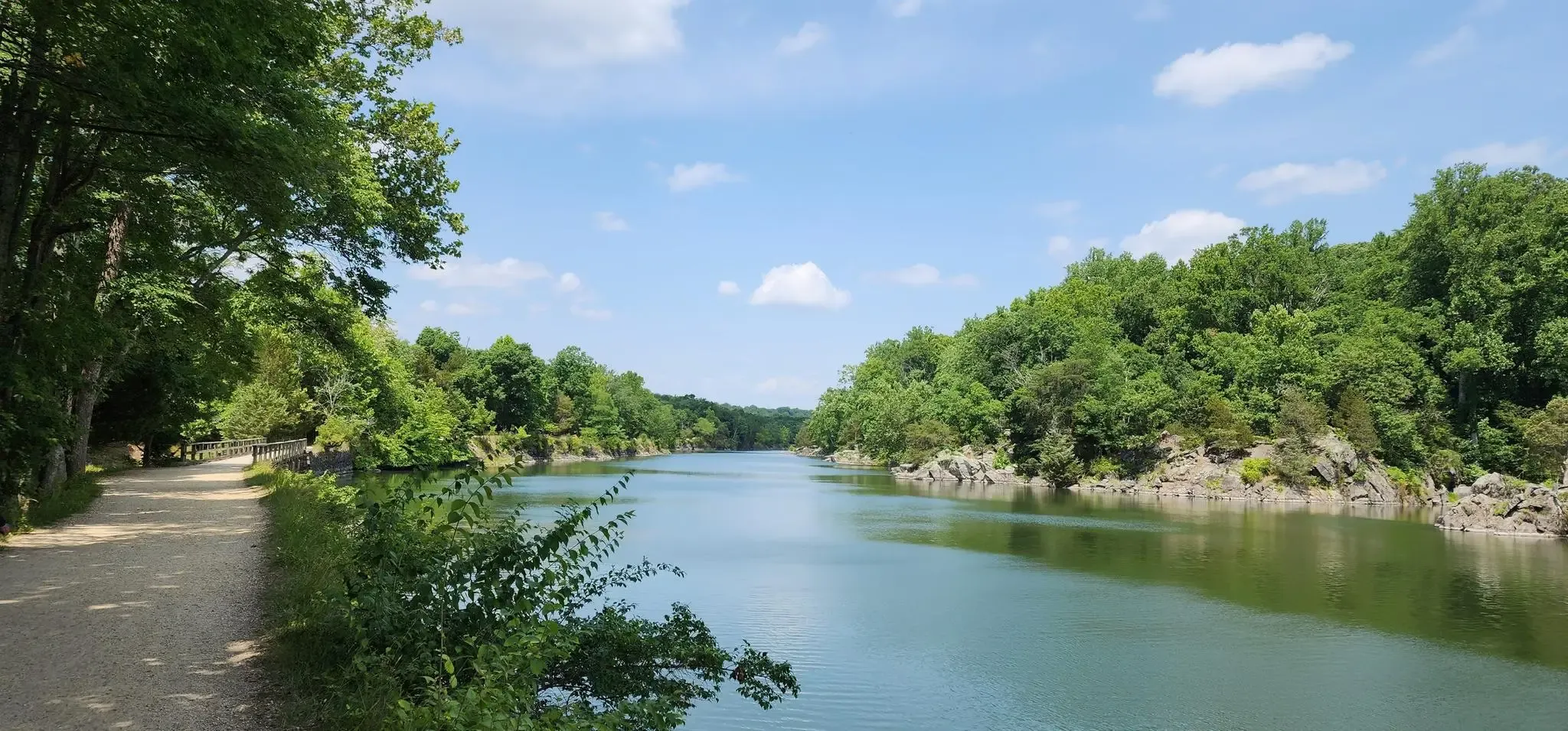
Chesapeake & Ohio Canal (C&O) Towpath — A stroll through history
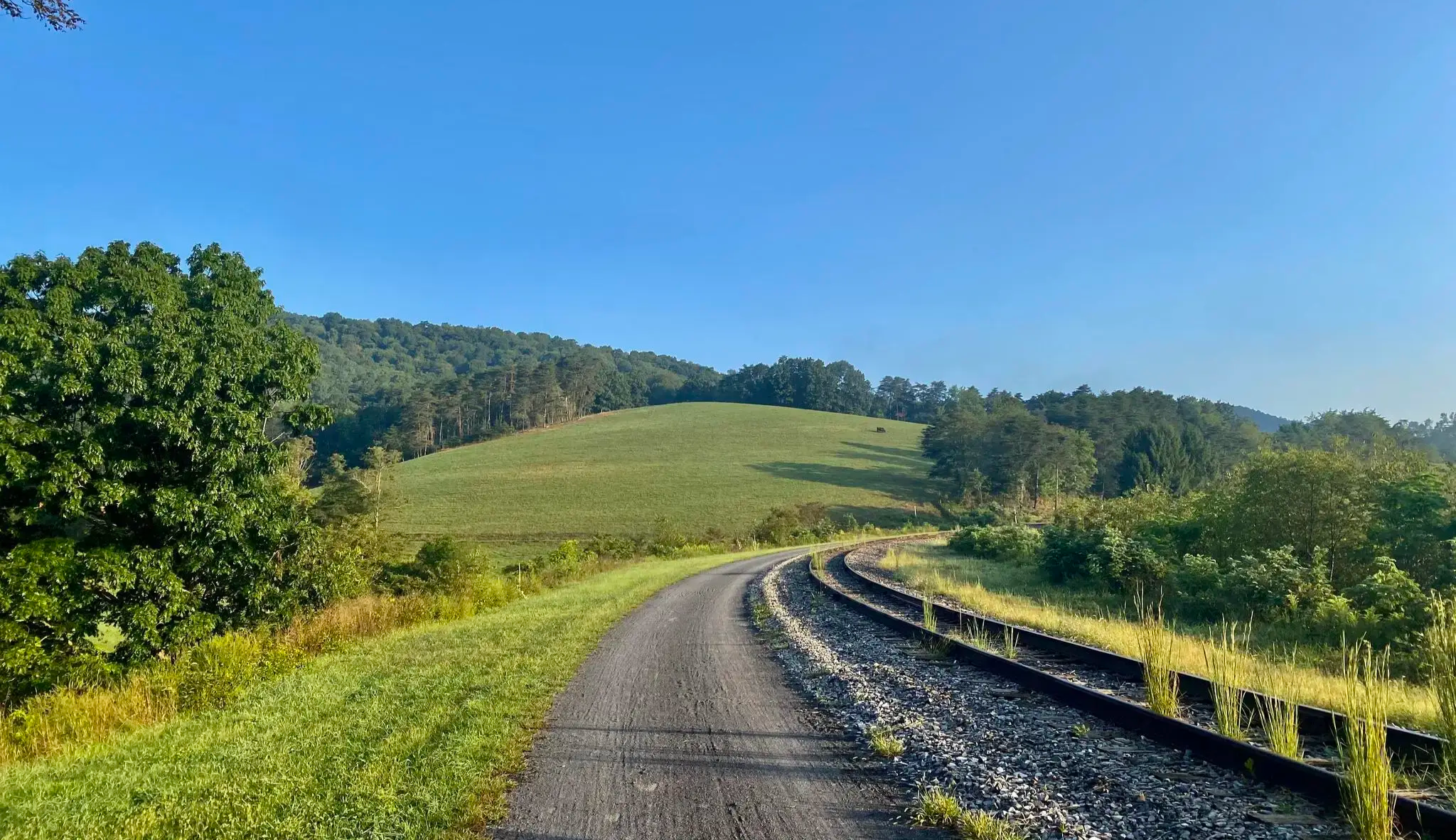
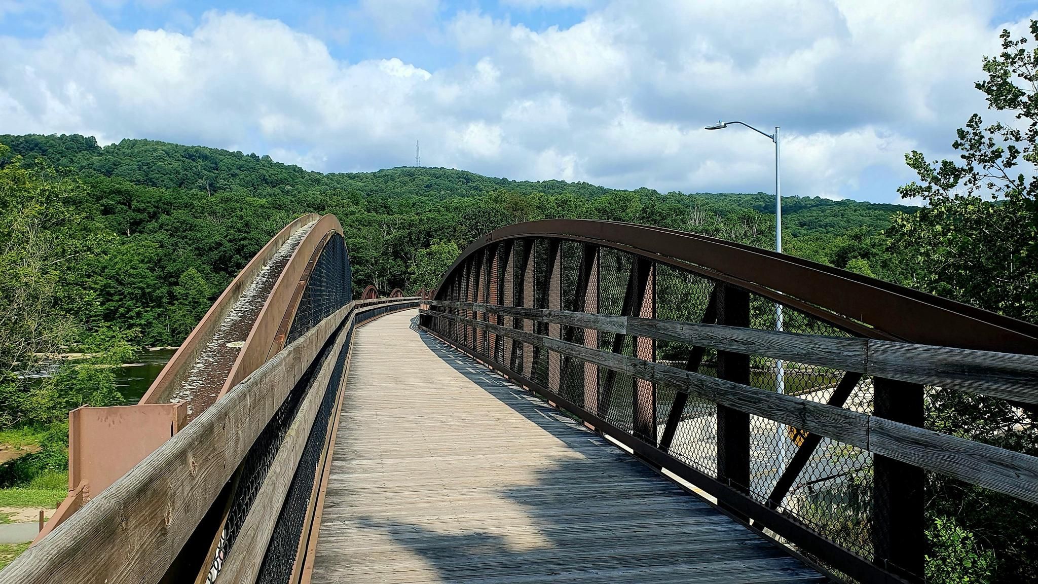
The Great Allegheny Passage — A scenic walk through the mountains of Southwest Pennsylvania

American Discovery Trail — Riding coast to coast
Potomac Heritage National Scenic Trail — Cycle the nation's river
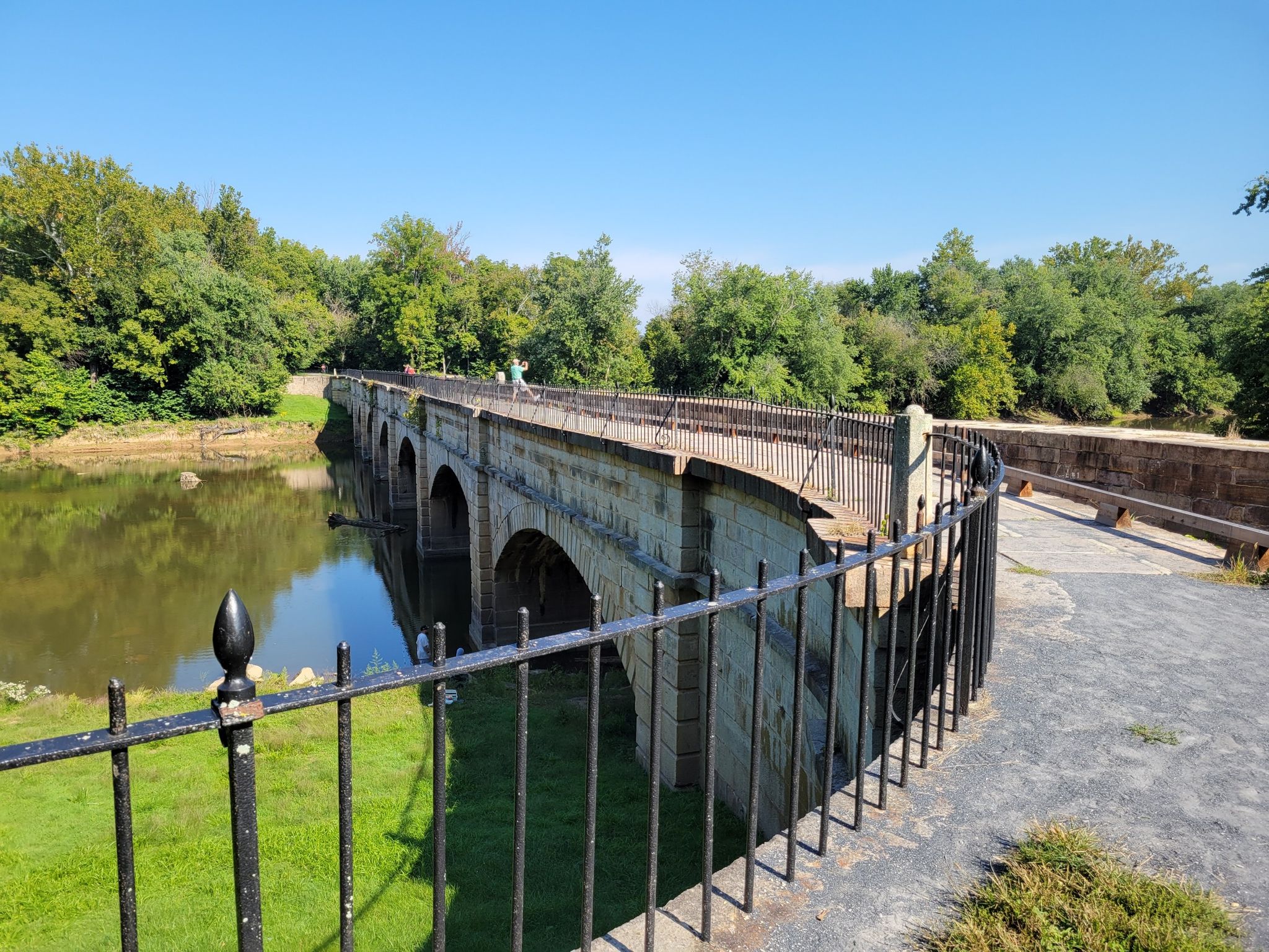
The C&O Towpath — Riding along the Potomac and through America’s past
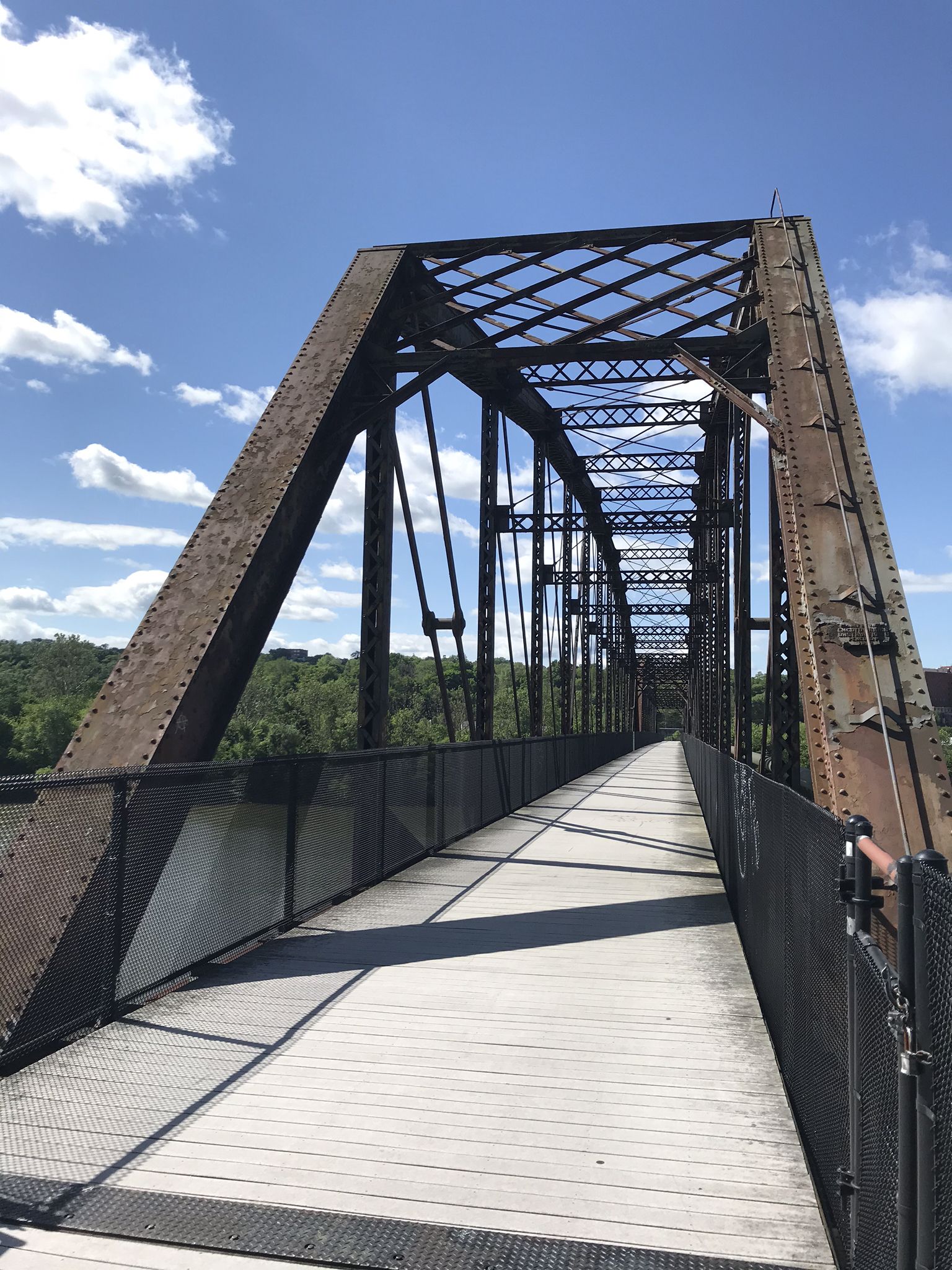
The Great Allegheny Passage — A rail trail adventure through Maryland and Pennsylvania
Other adventures in Allegany County


Tips from the Community

The Brush Tunnel is a 911-foot-long tunnel along the GAP that takes you through the Allegheny Mountains. The tunnel was constructed in 1911 by the Western Maryland and there is still an active train line that runs through it.
1
0
Helmstetter’s Curve is one of the most notable sections of the GAP. Located between Cumberland and Frostburg, the curve was built to help ease the gradients for trains trying to get up the steep slope. Now, it is a popular spot along the GAP for the great views it gives you as you gradually ascend the hills.
0
0
The Brush Tunnel is a 911-foot-long tunnel along the GAP that takes you through the Allegheny Mountains. The tunnel was constructed in 1911 by the Western Maryland and there is still an active train line that runs through it.
0
0

The Paw Paw Tunnel is an engineering marvel along the C&O Canal, built to avoid constructing six miles of canal along the river. Work began in 1836, but labor disputes, funding issues, and the challenges of tunneling through shale delayed completion for 14 years. Finally opening in 1850, the 3,118-foot tunnel has faced ongoing rockslides throughout its history. Today, visitors can explore the tunnel with a flashlight to spot historical features like weep holes and rub rails. If riding your bike through its best to have a headlamp and to be cautious in the dark. Afterward, the two-mile Tunnel Hill Trail offers stunning views of the Paw Paw Bends.
2
0

The Paw Paw Tunnel was constructed over 14 years, and in effort to save 6 miles of construction, is located in a place of steep, rocky terrain. This proved to be challenging for creation and use of the tunnel. Delays of construction can be attributed to both violence among the workers and a general underestimation of the difficult nature of the project, and the Chesapeake and Ohio Canal Company was nearly bankrupted by the end.
1
0

The Ardalia Trail is a moderately challenging 1.3-mile route that winds its way up the western slope of Sidling Hill. While the climb might get your heart rate up, the payoff is a breathtaking vista from the top.
0
0
Nestled in the Eastern Panhandle of West Virginia, Eidolon Nature Preserve offers a stunning escape into mountaintop forests and breathtaking views. There's even an old stone house on the summit that was unfortunately destroyed by fire in the same decade.
0
0
The Paw Paw Tunnel was constructed over 14 years, and in effort to save 6 miles of construction, is located in a place of steep, rocky terrain. This proved to be challenging for creation and use of the tunnel. Delays of construction can be attributed to both violence among the workers and a general underestimation of the difficult nature of the project, and the Chesapeake and Ohio Canal Company was nearly bankrupted by the end. The tunnel was primarily used by canal boats until the closure of the C&O company in 1924. Now, it is appreciated by visitors for its product of impressive engineering nestled in the topography of the park's natural scenic beauty.
0
0
Frequently Asked Questions
How many easy hiking trails are there in Allegany County?
Allegany County features 10 easy hiking trails, which are part of a broader network of 18 routes available for various skill levels. These trails traverse diverse landscapes, offering accessible options for exploring the region's natural beauty.
What kind of terrain can I expect on easy hikes in Allegany County?
Easy hikes in Allegany County typically feature diverse terrain, including dense woodlands, river valleys, and rolling hills characteristic of the Appalachian region. You might encounter paths winding through forests, along lake shores like at Rocky Gap State Park, or offering scenic overlooks of the Potomac River Valley.
Are there any easy loop hikes in Allegany County?
Yes, Allegany County offers several easy loop hikes. A popular option is the Ardalia Trail and Zapolean Loop, which is 2.1 miles (3.4 km) and takes about an hour to complete through forested areas. Another is the Paw Paw Tunnel loop from Paw Paw, offering a 3.2-mile (5.2 km) easy walk.
Are the easy hiking trails in Allegany County suitable for families?
Many easy hiking trails in Allegany County are suitable for families, offering less strenuous walks through natural settings. Trails like the High Rock route, at 1.4 miles (2.2 km), are short and provide rewarding views, making them ideal for outings with children.
Can I bring my dog on these easy hiking trails?
Allegany County is generally dog-friendly, with many trails welcoming leashed dogs. It's always best to check specific park or trail regulations before you go, but trails within state parks and forests often permit dogs, allowing your furry companion to enjoy the easy hikes with you.
What natural features or landmarks can I see along easy hiking trails?
Along easy hiking trails, you can discover various natural features and landmarks. The region is known for the crystal-clear waters of Lake Habeeb, scenic overlooks of the Potomac River Valley, and dense woodlands. You might also encounter historical points of interest like the Paw Paw Tunnel or the Helmstetter’s Curve viewpoint.
Are there any shorter easy hikes for a quick outing?
For a quick outing, consider shorter easy hikes like High Rock, which is 1.4 miles (2.2 km) and can be completed in under an hour, offering a prominent overlook. The Canyon Overlook Trail in Rocky Gap State Park is also an easy quarter-mile option for magnificent views.
Where can I find parking for easy hiking trails in Allegany County?
Parking is generally available at trailheads and state parks throughout Allegany County. Popular areas like Rocky Gap State Park, Green Ridge State Forest, and access points for the C&O Canal Towpath typically offer designated parking facilities for hikers.
What is the best time of year for easy hiking in Allegany County?
The best time for easy hiking in Allegany County is typically spring, summer, and fall. Spring brings lush greenery and wildflowers, while autumn offers spectacular fall foliage. Summer is also pleasant, though it can be warmer. Winter hiking is possible, but some trails may be icy or covered in snow, requiring appropriate gear.
What do other hikers enjoy most about easy hiking in Allegany County?
The easy hiking trails in Allegany County are highly rated by the komoot community, with an average score of 4.7 stars. Hikers often praise the quiet woodlands, well-maintained paths, and the scenic beauty of the diverse landscapes, including river valleys and overlooks. The accessibility of these trails for various fitness levels is also frequently highlighted.
Are there any easy trails that offer great views?
Absolutely. The High Rock trail offers views from a prominent overlook. Another excellent option is Bishop Walsh to Cumberland Overlook, which leads to a scenic viewpoint overlooking the city of Cumberland. The Canyon Overlook Trail in Rocky Gap State Park also provides magnificent views of a mile-long gorge.
Are there any easy trails with historical significance?
Yes, Allegany County has trails with historical significance. The Paw Paw Tunnel area offers easy walks that explore this historic engineering marvel along the C&O Canal Towpath. The towpath itself is a historic route once used for transporting goods, providing a glimpse into the region's past.
Most popular attractions in Allegany County

Get inspired with the komoot mobile app


Explore more
Browse the best Hikes in other regions.
