Easy hikes and walks around Serrania De Ronda
4.4
(6881)
34,943
hikers
300
hikes
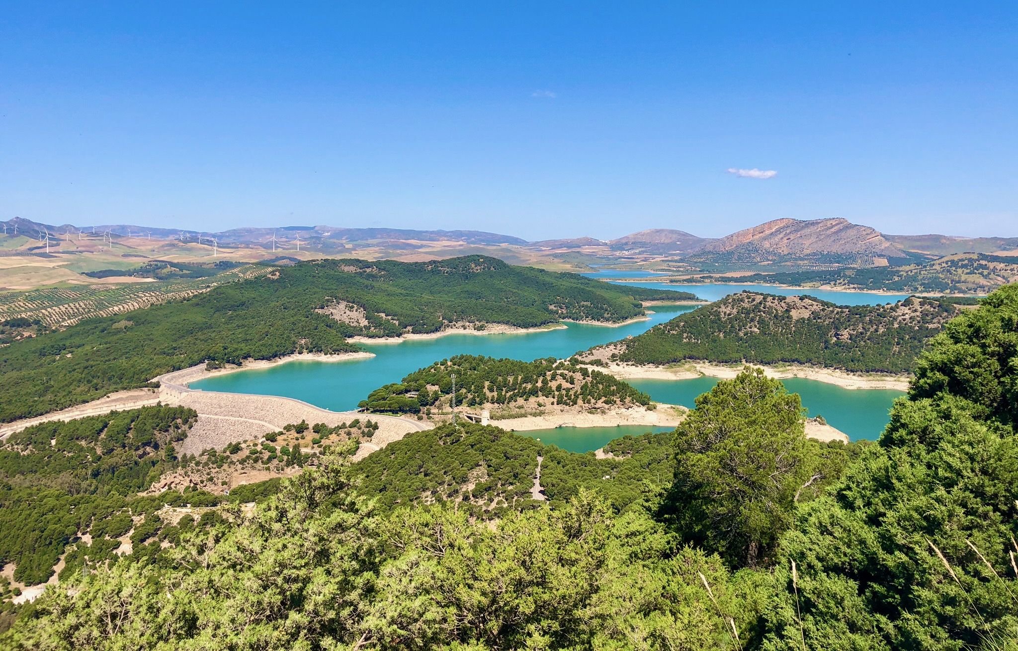
Easy hiking trails around Serrania De Ronda traverse a region characterized by dramatic limestone peaks, deep gorges, and dense forests of holm oak and cork oak. The landscape is shaped by rivers like the Guadiaro and Guadalevín, which carve impressive features such as the Tajo de Ronda gorge. Hikers can explore diverse ecosystems, from the unique Spanish fir forests to the picturesque valleys dotted with white villages. This area offers a variety of terrain for accessible outdoor exploration.
Best easy hiking trails around Serrania De Ronda
- The most popular easy hiking route is Natural Monument Cueva del Gato via the Guadiaro River, a 3.2 miles (5.1 km) trail that takes 1 hour 23 minutes to complete. This route leads to the notable Cueva del Gato, known for its clear waters.
- Another top favourite among local hikers is Río Turón Dams Trail, an easy 2.9 miles (4.7 km) path. This trail follows the Río Turón, offering views of its dams and surrounding natural scenery.
- Local hikers also love the Tajo de Ronda (Ronda Gorge) – Parador of Ronda loop from Ronda, a 1.9 miles (3.1 km) trail leading through the iconic Tajo de Ronda gorge, often completed in about 49 minutes.
- Hiking around Serrania De Ronda is defined by limestone escarpments, river valleys, and charming white villages, with a network of routes offering options for various ability levels.
- The routes in Serrania De Ronda are highly rated by the komoot community with an average score of 4.4 stars from over 2300 reviews. More than 13000 hikers have used komoot to explore Serrania De Ronda's varied terrain.
Last updated: August 17, 2026
4.7
(25)
152
hikers
5.11km
01:23
70m
70m
Easy hike. Great for any fitness level. Easily-accessible paths. Suitable for all skill levels.
4.4
(14)
90
hikers
4.71km
01:14
40m
40m
Easy hike. Great for any fitness level. Easily-accessible paths. Suitable for all skill levels.

Sign up for free
4.5
(15)
46
hikers
5.91km
01:51
220m
220m
Easy hike. Great for any fitness level. Easily-accessible paths. Suitable for all skill levels.
3.8
(6)
42
hikers
6.61km
01:51
130m
130m
Easy hike. Great for any fitness level. Easily-accessible paths. Suitable for all skill levels.
4.4
(15)
63
hikers
4.47km
01:13
60m
60m
Easy hike. Great for any fitness level. Easily-accessible paths. Suitable for all skill levels.
4.7
(7)
21
hikers
5.45km
01:38
190m
180m
Easy hike. Great for any fitness level. Easily-accessible paths. Suitable for all skill levels.
4.6
(9)
29
hikers
4.03km
01:09
90m
90m
Easy hike. Great for any fitness level. Easily-accessible paths. Suitable for all skill levels.
4.5
(6)
27
hikers
5.26km
01:47
270m
270m
Easy hike. Great for any fitness level. Easily-accessible paths. Suitable for all skill levels.
3.8
(6)
121
hikers
1.49km
00:32
80m
80m
Easy hike. Great for any fitness level. Easily-accessible paths. Suitable for all skill levels.
4.0
(2)
20
hikers
4.92km
01:38
240m
230m
Easy hike. Great for any fitness level. Easily-accessible paths. Suitable for all skill levels.
Get access to more routes and recommendations from other explorers.
Sign up for free
Already have an account?
Our route recommendations are based on thousands of hikes, rides, and runs completed by other people on komoot.
Start today with a free account
Your next adventure awaits.
Login or Signup
Popular around Serrania De Ronda

Easy hikes around Río Guadalevin
Easy hikes in Los Reales De Sierra Bermeja
Easy hikes around Río Guadiaro

Easy hikes in Sierra Blanquilla

Andalusia without limits – Tarifa to La Puebla de Don Fabrique on the GR 7
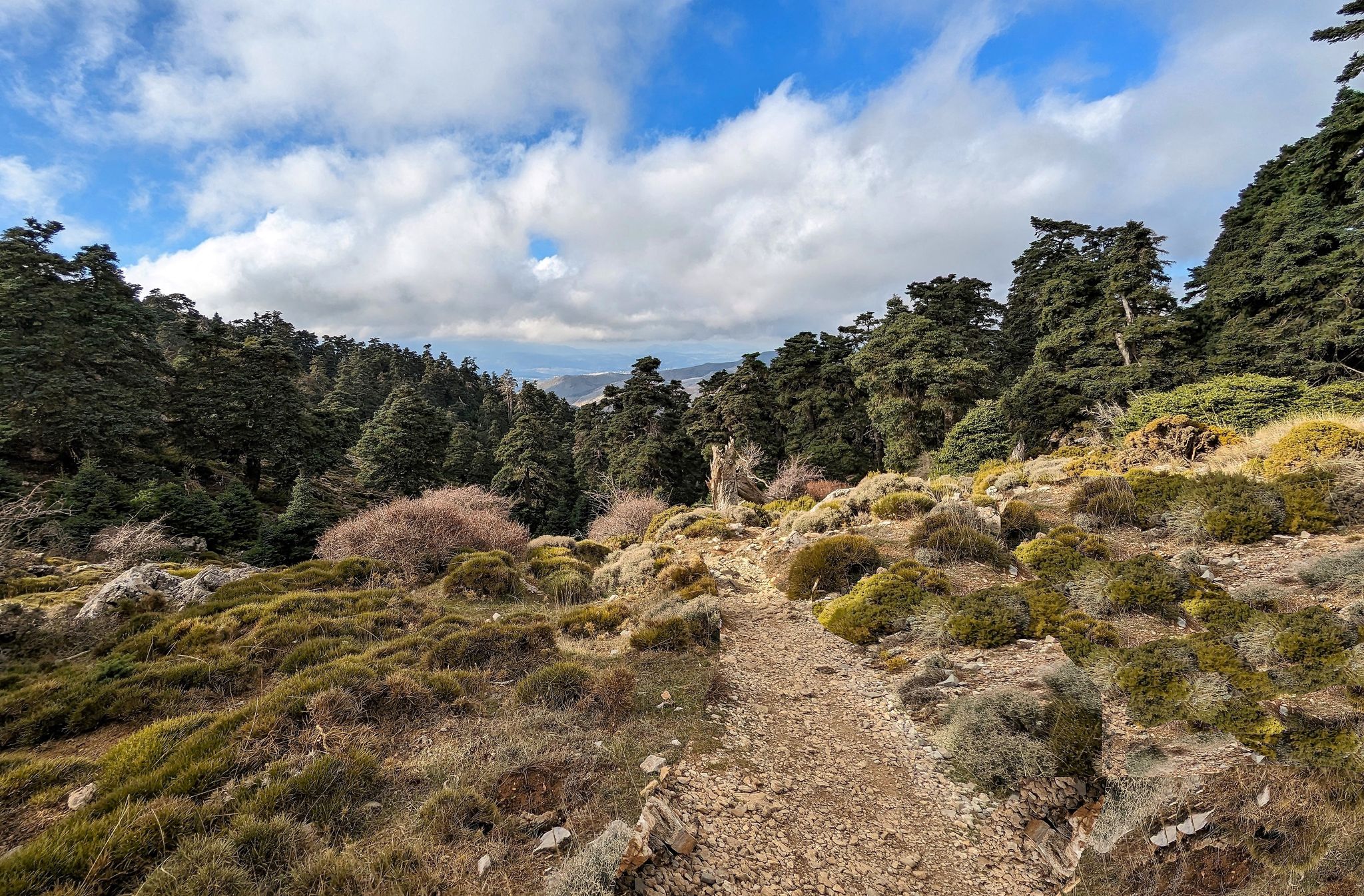
Magic in its purest form – hiking in Spain’s Sierra de las Nieves
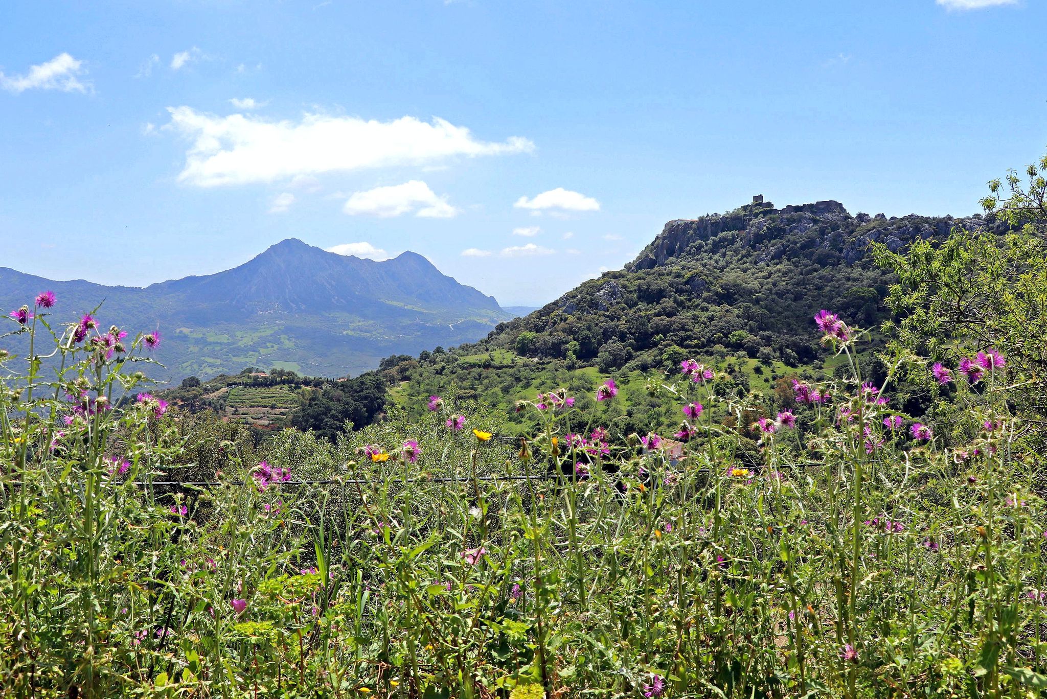
A jewel of Malaga – Gran Senda de la Serranía de Ronda (GR 141)

Hike between sea and mountains — Gran Senda de Málaga (GR 249)
Seven days walking along the Gran Senda de Málaga (GR 249)

Road to Lisbon – bikepacking the Alps, Pyrenees and Picos de Europa
Other adventures around Serrania De Ronda


Tips from the Community


A beautiful bronze coat of arms embedded in Ronda's paving stones, along with the coat of arms of Seville, depicts Hercules between two lions and the pillars of his mythical deeds. The inscription "Hercules fundator Gaditanorum dominatorque" refers to Hercules as the founder of Seville and ruler of Cádiz. A piece of mythology in the heart of Andalusia.
1
1

You need to have endurance on this route
0
0
A very nice place to take pictures
0
0
Here you'll find a map with a legend. You can also view photos. Always interesting.
4
0

It's very beautiful there. It's tempting to swim.
1
0

We walked this in June 2025. Very nice walk. You come across a number of gates. You can just open these and continue following the route. We each had 2 liters of water and three sandwiches with us. You really need this because of the heat. There is currently a part that is not pleasant to walk. The farmer has plowed his entire olive grove here. So without GPS the route is not possible. It took us four hours now. You do need to be in reasonable shape. But super satisfied. Ended in Montignac with a terrace.
1
0
Path was very difficult to walk because it was quite densely overgrown in some places. Sometimes unclear how to walk. They also left in Arritta. Then you first have a long stretch along the main road and at the end you have the most beautiful path.
1
2
Frequently Asked Questions
How many easy hiking trails are there in Serranía de Ronda?
Serranía de Ronda offers a wide selection of easy hiking trails, with over 80 routes specifically categorized as easy. In total, there are more than 270 hiking routes available across all difficulty levels in the region.
What kind of landscapes can I expect on easy hikes in Serranía de Ronda?
Easy hikes in Serranía de Ronda traverse diverse landscapes, including dramatic limestone peaks, deep gorges like the Tajo de Ronda, and dense forests of holm oak and cork oak. You'll also find picturesque river valleys, such as those carved by the Guadiaro and Guadalevín rivers, and charming white villages nestled in the countryside.
Are there any easy circular walks in the Serranía de Ronda region?
Yes, many easy routes in Serranía de Ronda are circular. For example, the Tajo de Ronda (Ronda Gorge) – Parador of Ronda loop from Ronda offers stunning views of the iconic gorge. Another option is the Vulture Rock – Montejaque loop from Montejaque, which provides a scenic experience starting from a white village.
Can I find family-friendly easy hikes in Serranía de Ronda?
Absolutely. Many easy trails in Serranía de Ronda are suitable for families. Routes that are relatively short, have minimal elevation gain, and pass by interesting natural features or villages are ideal. The Natural Monument Cueva del Gato via the Guadiaro River is a popular choice, leading to a unique cave with clear waters.
What are some notable natural attractions or landmarks I can see on easy hikes?
Easy hikes often lead to or pass by significant natural attractions. You can explore the Cat Cave, known for its crystal-clear waters, or witness the dramatic Abanico Gorge. The iconic Tajo de Ronda gorge and the famous Puente Nuevo bridge are also accessible on easy routes around Ronda.
Are there any opportunities for wild swimming after an easy hike?
Yes, the Serranía de Ronda region is known for its rivers and natural pools. The Cat Cave (Cueva del Gato) is a popular spot for a refreshing dip in its exceptionally cold, clear waters, often reached via easy trails.
What is the best time of year to go on easy hikes in Serranía de Ronda?
The Serranía de Ronda is enjoyable for easy hikes throughout much of the year. Spring (March to May) offers pleasant temperatures and blooming wildflowers, while autumn (September to November) is stunning, especially in the Genal Valley, where chestnut and cork oak forests turn into a vibrant 'Copper Forest'. Winters are mild, making it suitable for walking, though some higher areas might be cooler. Summers can be hot, so early morning or late afternoon hikes are recommended.
How can I get to the trailheads for easy hikes in Serranía de Ronda using public transport?
Many trailheads are accessible from the central town of Ronda, which is well-connected by bus and train. Some white villages like Montejaque or Benaoján also have public transport links, serving as starting points for various routes. It's advisable to check local bus schedules for specific village connections when planning your hike.
Is parking available near the easy hiking trails in Serranía de Ronda?
Parking is generally available in and around the main towns and villages that serve as trailheads, such as Ronda, Montejaque, and Benaoján. For routes starting in more rural areas, designated parking spots or roadside parking may be found, but it's always good to plan ahead and check specific route information for parking details.
What do other hikers say about the easy trails in Serranía de Ronda?
The easy trails in Serranía de Ronda are highly rated by the komoot community, with an average score of 4.4 stars from over 2300 reviews. Hikers often praise the region's stunning natural beauty, the accessibility of the routes, and the charm of the white villages. Many appreciate the well-maintained paths and the variety of landscapes encountered.
Are there any charming villages or towns I can visit near easy hiking routes?
Yes, the region is dotted with picturesque white villages (Pueblos Blancos) that make excellent starting points or stops for easy hikes. Villages like Montejaque, Algatocín, Gaucín, Benaoján, and Jimera de Líbar offer a glimpse into traditional Andalusian life and often have amenities like cafes and restaurants. Ronda itself is a major hub with historical significance.
Are there any easy routes that offer views of the famous Puente Nuevo bridge?
Yes, several easy routes provide spectacular views of the Puente Nuevo bridge and the Tajo gorge. The View of the Puente Nuevo – Parador of Ronda loop from Ronda is an excellent option, allowing you to admire this iconic landmark from various perspectives.
What are the typical distances and elevation gains for easy hikes in this region?
Easy hikes in Serranía de Ronda typically range from 3 to 6 kilometers (2 to 4 miles) in distance. The elevation gain is generally minimal, often staying below 100-200 meters (300-650 feet), making them suitable for all fitness levels. For example, the Río Turón Dams Trail is about 4.7 km with less than 40 meters of elevation gain.
Most popular routes around Serrania De Ronda
Most popular attractions around Serrania De Ronda

Get inspired with the komoot mobile app


Didn’t find what you were looking for?
Check out more Hikes throughout Serrania De Ronda below and find the perfect route in your destination.
Explore more
Browse the best Hikes in other regions.
