Easy hikes and walks around Alcarria Alta
4.6
(151)
1,112
hikers
113
hikes
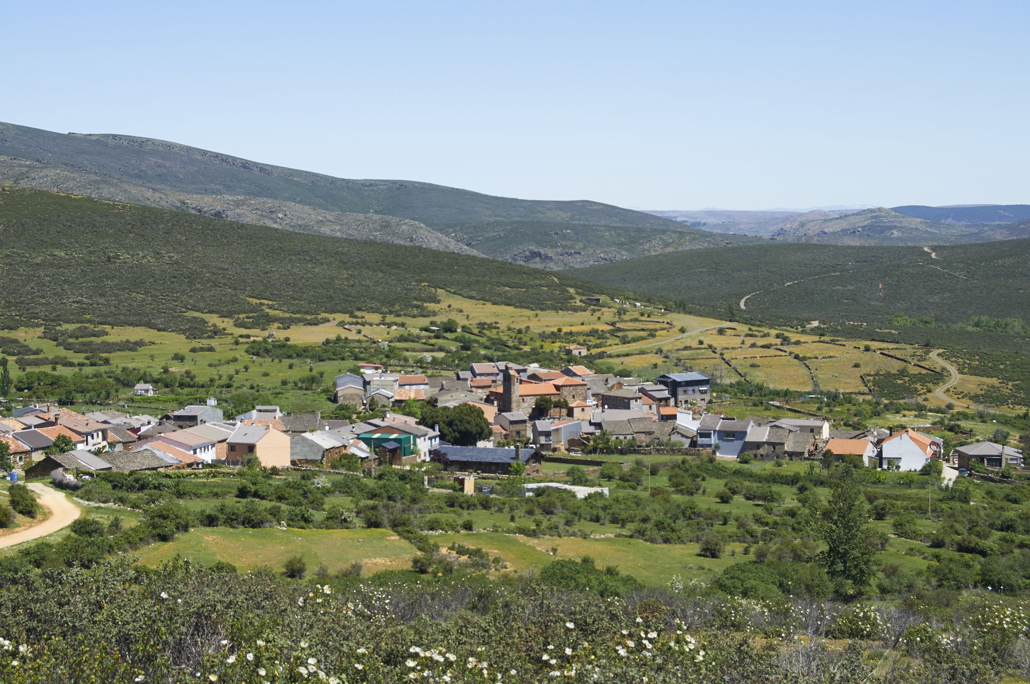
Hiking around Alcarria Alta offers diverse landscapes shaped by river valleys, limestone formations, and elevated páramo surfaces. The region is characterized by rivers like the Tajo and Tajuña, which have carved deep gorges and valleys. Karst phenomena, including depressions in calcareous zones, add unique geological interest. Prominent hills provide panoramic views of the surrounding area.
Best easy hiking trails around Alcarria Alta
- The most popular easy hiking route is Castillo de Jadraque — circular from Jadraque, a 4.3 miles…
Last updated: June 23, 2026
4.0
(1)
2
hikers
6.93km
01:57
150m
140m
Easy hike. Great for any fitness level. Easily-accessible paths. Suitable for all skill levels.
4.7
(6)
70
hikers
4.36km
01:10
50m
50m
Easy hike. Great for any fitness level. Easily-accessible paths. Suitable for all skill levels.

Sign up for free
8
hikers
5.25km
01:25
70m
70m
Easy hike. Great for any fitness level. Easily-accessible paths. Suitable for all skill levels.
4.0
(1)
2
hikers
6.95km
01:57
140m
140m
Easy hike. Great for any fitness level. Easily-accessible paths. Suitable for all skill levels.
6
hikers
5.05km
01:19
30m
30m
Easy hike. Great for any fitness level. Easily-accessible paths. Suitable for all skill levels.
7
hikers
3.98km
01:08
90m
90m
Easy hike. Great for any fitness level. Easily-accessible paths. Suitable for all skill levels.
6
hikers
Easy hike. Great for any fitness level. Easily-accessible paths. Suitable for all skill levels.
6
hikers
7.04km
01:55
100m
100m
Easy hike. Great for any fitness level. Easily-accessible paths. Suitable for all skill levels.
3
hikers
2.99km
00:50
50m
50m
Easy hike. Great for any fitness level. Easily-accessible paths. Suitable for all skill levels.
5.0
(1)
3
hikers
5.87km
01:38
110m
110m
Easy hike. Great for any fitness level. Easily-accessible paths. Suitable for all skill levels.
Get access to more routes and recommendations from other explorers.
Sign up for free
Already have an account?
Our route recommendations are based on thousands of hikes, rides, and runs completed by other people on komoot.
Start today with a free account
Your next adventure awaits.
Login or Signup
Popular around Alcarria Alta
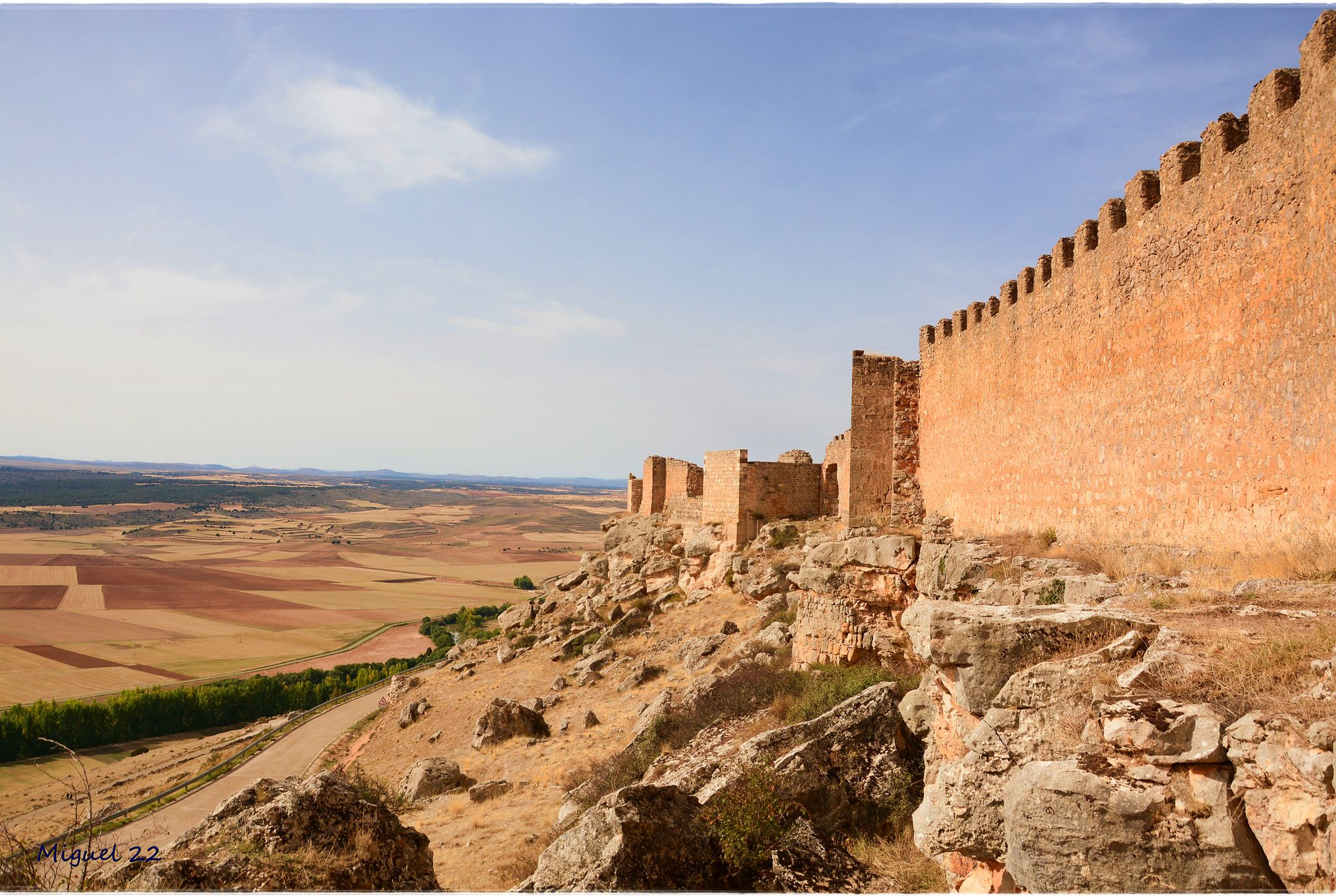
A journey through mediaeval Spain – El Camino del Cid (GR 160)

Albarracín to Toledo – Eastern Tagus Nature Trail
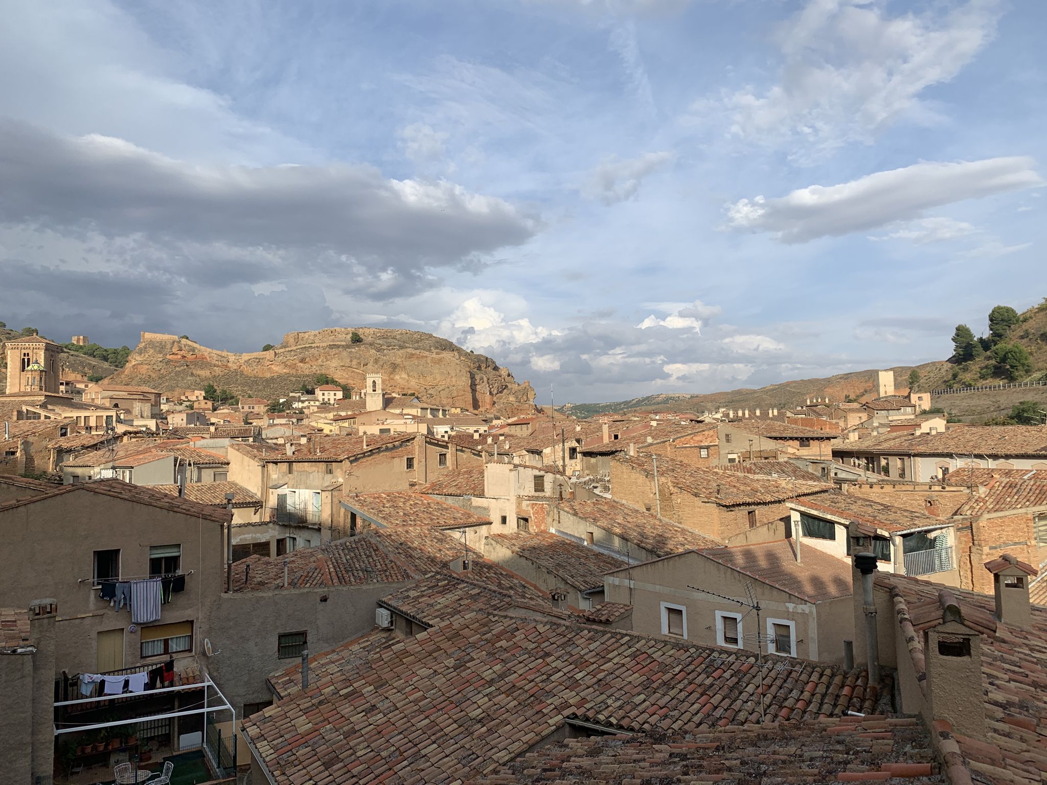
18th-century gravel – Camino Real de Aragón from Madrid
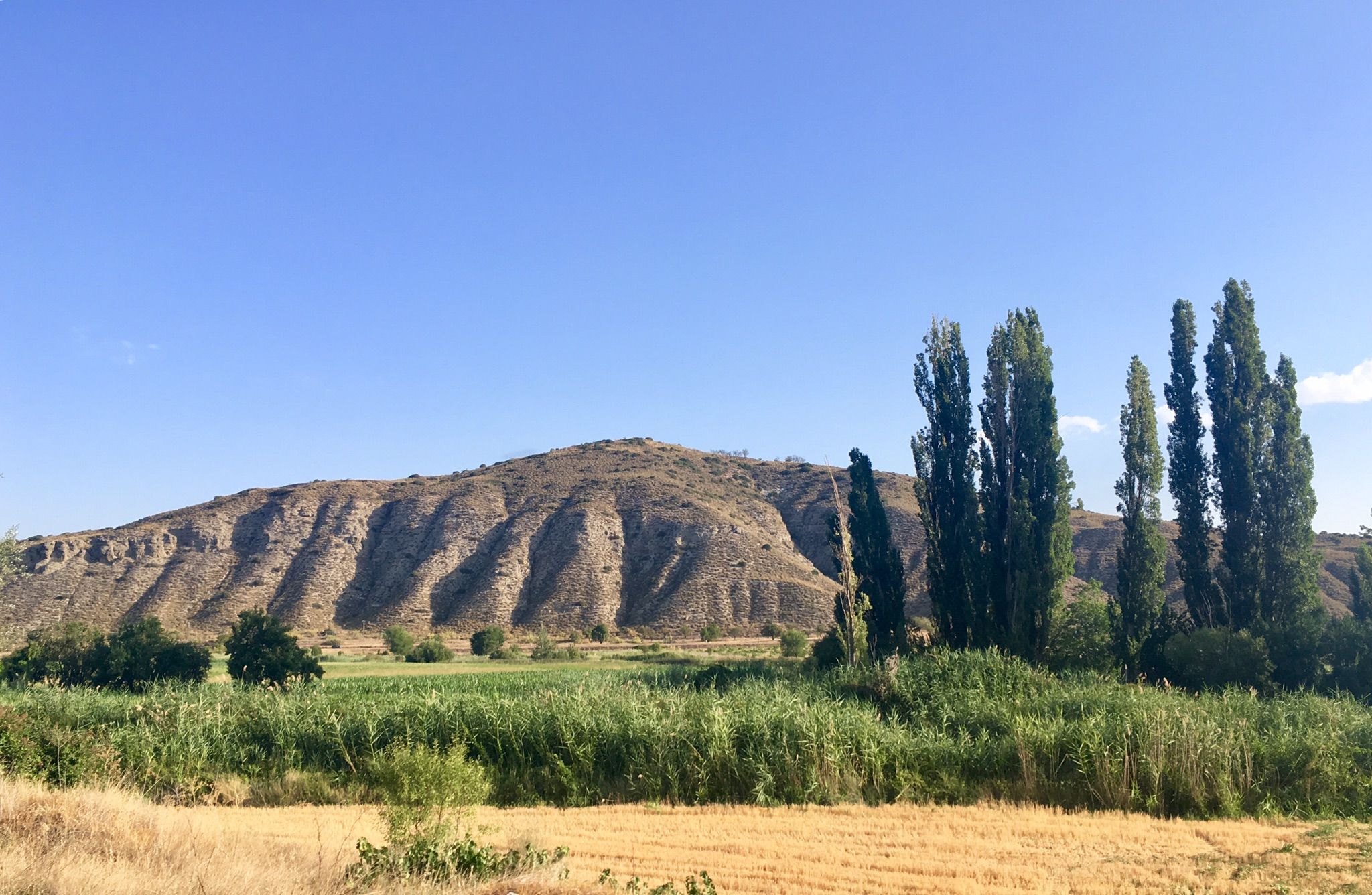
Canyons and countryside – Spain’s Tajuña River gravel
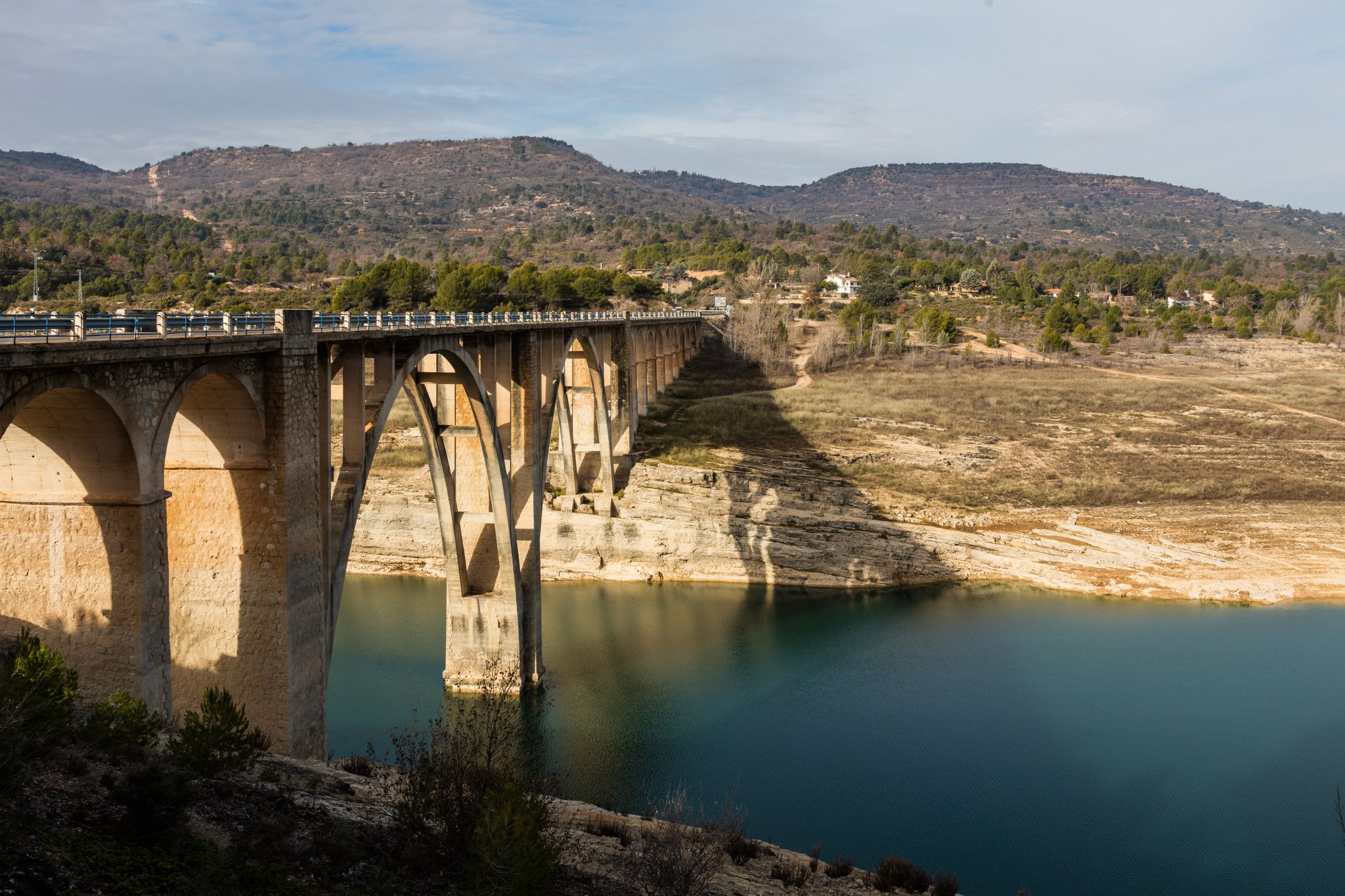
A journey on the Iberian Peninsula – Tagus Nature Trail
Tierras de Frontera on a gravel bike – El Camino del Cid
El Camino del Cid – The Borderlands on MTB
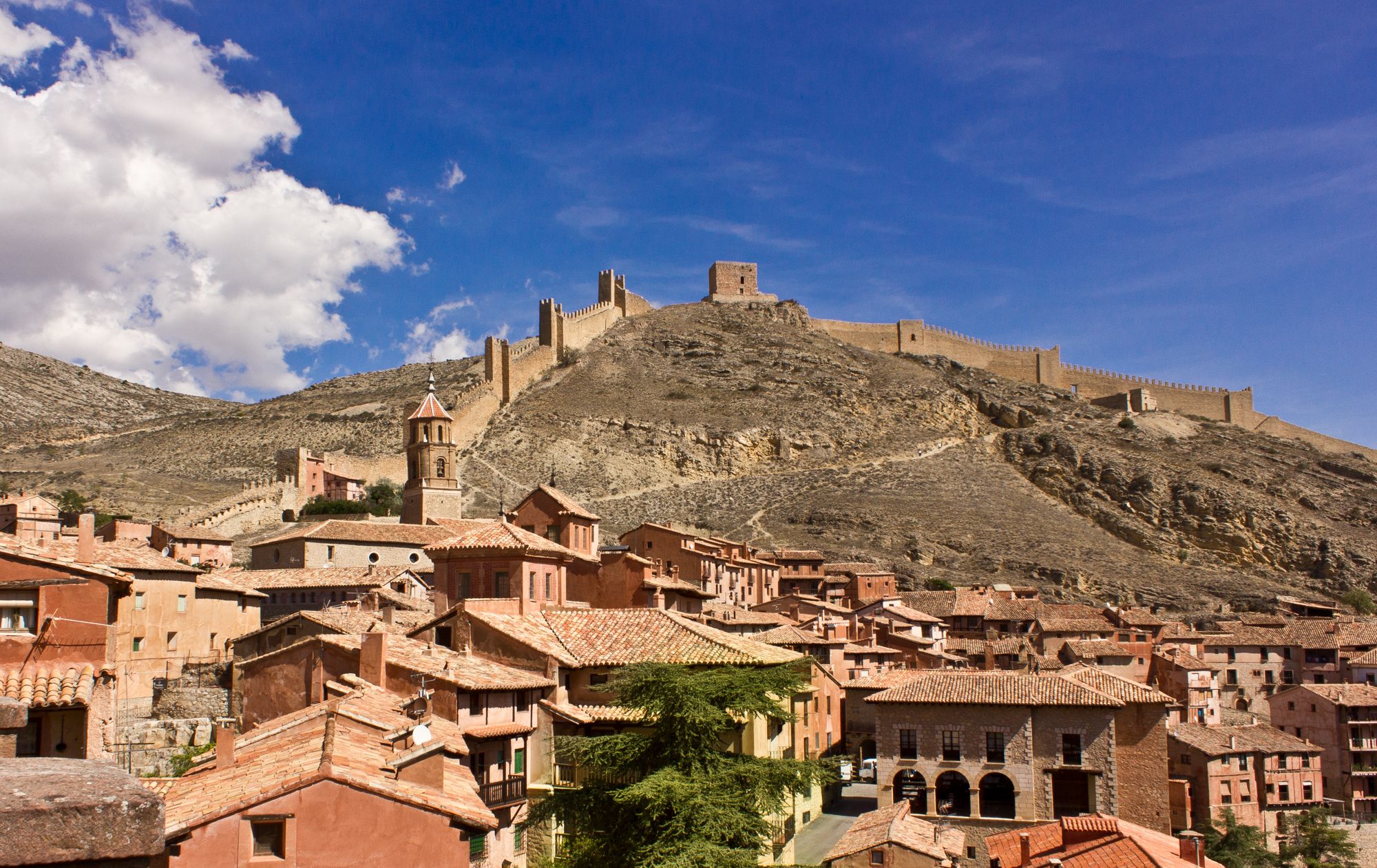
Bike tour into the Spanish Middle Ages - the Camino del Cid
Other adventures around Alcarria Alta


Tips from the Community

A beautiful town in Guadalajara with a multitude of interesting monuments and attractions. The church, the chapel, the Jovellanos Museum, Ochaita Park, the Migas Festival, its beautiful viewpoints, and of course, its beautiful El Cid castle.
0
1

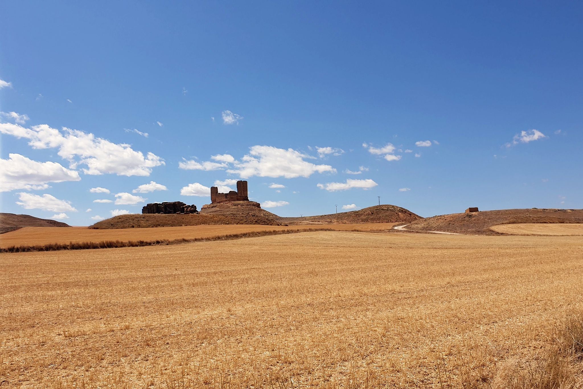
Although it is associated with El Cid, it was never related to the mercenary knight, but rather to the first Count of El Cid, Rodrigo Días de Vivar y Mendoza, a noble title granted by the Catholic Monarchs in 1492. This fortress, dating back to the High Middle Ages, watches over the Henares valley at the foot of the Alcarria Mountains. A natural paradise with a variety of altitudes.
0
0

This town with steep slopes crowned by a castle is the gateway to the Dulce River ravine.
0
0
imposing castle, called del Cid, although Rodrigo Díaz never lived there. The current Jadraque castle is almost entirely the work of the last third of the 15th century, that is, from the last group of medieval castle-palaces, already on the verge of disappearance at this time. Its reform in the 15th century was due to the master builder Alberto de Caravajal, helped by stonemasons from Northern Spain. This master builder also directed the renovation of the castle of Puebla de Almenara (Cuenca). It is likely that the outlines of the reform were given by the architect Juan Guas, although his intervention is not documented. The renovation work greatly affected almost everything that had previously existed there, as the natural terrain of the hill was even lowered. Only what was a large pentagonal tower in the bow was used in the construction of the new late medieval castle (probably towards the middle of the 20th century, almost the entire tower was dismantled to serve as a quarry). One of its panels is fallen today and the castle is closed to visitors.
0
0
Beautiful Castle of Muslim origin, later rebuilt by the Mendoza family from Guadalajara.
1
0

the bridge over the Tagus when it is still a modest river at its junction with the Cifuentes River
0
0

The bridge is of medieval origin and already in the 16th century it attracted attention for having only one eye, very firm and of great beauty.
10
0

The Cifuentes River creates this beautiful waterfall as it passes through the town of Trillo. It is a luxury to have this spectacle of nature in the same urban area.
1
0
Frequently Asked Questions
How many easy hiking trails are available in Alcarria Alta?
Alcarria Alta offers a good selection of easy hiking trails, with over 25 routes specifically categorized as easy. In total, the region features more than 100 hiking routes for various skill levels.
What do other hikers say about the easy trails in Alcarria Alta?
The easy trails in Alcarria Alta are highly regarded by the komoot community, boasting an average rating of 4.6 stars from over 80 reviews. More than 600 hikers have explored these varied terrains, often praising the scenic river valleys and historical points of interest.
When is the best time to hike easy trails in Alcarria Alta?
The spring and autumn months are ideal for easy hikes in Alcarria Alta, offering pleasant temperatures and vibrant landscapes. If you wish to experience the famous lavender fields of Brihuega, plan your visit for July when they are in full bloom, though some routes through these fields might be more moderate.
Are there easy circular walks in Alcarria Alta?
Yes, many easy trails in Alcarria Alta are circular, allowing you to start and end at the same point. For example, the Castillo de Jadraque — circular from Jadraque is a popular easy loop, as is the Hermitage of the Humilladero – Puerta del Toril loop from Sigüenza.
Can I find easy trails with waterfalls in Alcarria Alta?
Yes, the region features beautiful river environments with waterfalls. You can explore routes like the Trillo Waterfalls loop from Trillo or the Cifuentes River Waterfall – Trillo Waterfalls loop from Trillo, both offering easy access to these natural attractions.
Are there easy trails with good viewpoints in Alcarria Alta?
Absolutely. Alcarria Alta's diverse terrain includes elevated areas offering expansive views. Consider the Viewpoint of Peña Hueva loop from Restaurante Las Galeras for panoramic vistas. The iconic 'Tetas de Viana' also provide wonderful views, with routes available from nearby towns.
What historical or cultural sites can I explore on easy hikes?
Alcarria Alta is rich in history. Many easy trails pass by or lead to charming towns and historical sites. You can hike around the impressive Castillo de Jadraque, or explore the surroundings of Brihuega with its medieval walls and castle. The Ruta de la Cuerda and city tour of Sigüenza also offers a blend of nature and history.
Are the easy trails in Alcarria Alta suitable for families with children?
Yes, many easy trails in Alcarria Alta are well-suited for families. They typically feature gentle gradients and shorter distances, making them enjoyable for all ages. Routes that explore riverbanks or lead to small villages are often popular choices for family outings.
Are there dog-friendly easy hiking trails in Alcarria Alta?
Most easy hiking trails in Alcarria Alta are dog-friendly, allowing you to enjoy the natural beauty with your canine companion. It's always recommended to keep dogs on a leash, especially in areas with wildlife or near livestock, and to carry water for both yourself and your pet.
Are there any unique natural features to see on easy hikes?
Alcarria Alta's unique geology offers several interesting natural features. You can encounter karst phenomena, such as depressions in calcareous zones, and explore the deep river valleys carved by the Tajo and Tajuña rivers. The region's páramo landscapes also provide expansive, distinctive views.
Are there easy trails near charming towns where I can find cafes or refreshments?
Yes, several easy trails are located near or pass through picturesque towns like Brihuega, Cifuentes, and Trillo. These towns offer opportunities to explore traditional architecture and find local cafes or restaurants for refreshments before or after your hike. For instance, routes around Sigüenza, like the Hermitage of the Humilladero – Puerta del Toril loop, are close to amenities.
What kind of terrain can I expect on easy hikes in Alcarria Alta?
Easy hikes in Alcarria Alta typically feature varied terrain, including well-maintained paths along river valleys, through agricultural fields, and occasionally gentle ascents to viewpoints. You can expect a mix of dirt tracks, gravel paths, and sometimes paved sections when passing through villages.
Most popular routes around Alcarria Alta
Most popular attractions around Alcarria Alta

Get inspired with the komoot mobile app


Explore more
Browse the best Hikes in other regions.
