The best road cycling routes around Kerns
4.5
(581)
19,534
riders
123
rides
Road cycling routes around Kerns traverse a landscape characterized by mountainous terrain, peaceful alpine valleys, and serene lakes. The region features significant elevation changes, offering challenging ascents and exhilarating descents for cyclists. Lush meadows, clear streams, and forests like Kernwald also define the area's natural features.
Best road cycling routes around Kerns
- The most popular road cycling route is Entlebuch Passes Tour, a 53.5 miles (86.2 km) trail that takes 5 hours 15 minutes to complete. This difficult route features significant elevation gain through mountainous terrain.
- Another top favourite among local road cyclists is Sempach – Luzerner Gate, Sempach loop from Sarnen Nord, a moderate 61.6 miles (99.2 km) path. This route offers varied terrain with notable elevation changes.
- Local road cyclists also love the Fountain at Sarnen Village Square – View of Lake Sarnen loop from Sarnen Nord, a 13.5 miles (21.8 km) trail leading through the scenic Lake Sarnen area, often completed in about 1 hour 1 minute.
- Road cycling around Kerns is defined by mountainous terrain, alpine valleys, and serene lakes. The network offers options for different ability levels, from easy loops to challenging climbs.
- The routes in Kerns are highly rated by the komoot community with an average score of 4.5 stars from more than 500 reviews. More than 19,000 road cyclists have used komoot to explore Kerns's varied terrain.
Last updated: May 11, 2026
4.9
(19)
916
riders
86.2km
05:16
2,220m
2,220m
Hard road ride. Very good fitness required. Some segments of this route may be unpaved and difficult to ride.
4.6
(8)
308
riders
Easy road ride. Great for any fitness level. Mostly well-paved surfaces and easy to ride.

Sign up for free
5.0
(5)
146
riders
99.1km
04:22
880m
880m
Moderate road ride. Good fitness required. Mostly well-paved surfaces and easy to ride.
4.5
(4)
143
riders
Moderate road ride. Great for any fitness level. Some segments of this route may be unpaved and difficult to ride.
5.0
(1)
127
riders
34.4km
02:23
1,100m
1,100m
Hard road ride. Very good fitness required. Some segments of this route may be unpaved and difficult to ride.
Get access to more routes and recommendations from other explorers.
Sign up for free
Already have an account?
Our route recommendations are based on thousands of hikes, rides, and runs completed by other people on komoot.
Start today with a free account
Your next adventure awaits.
Login or Signup
Popular around Kerns
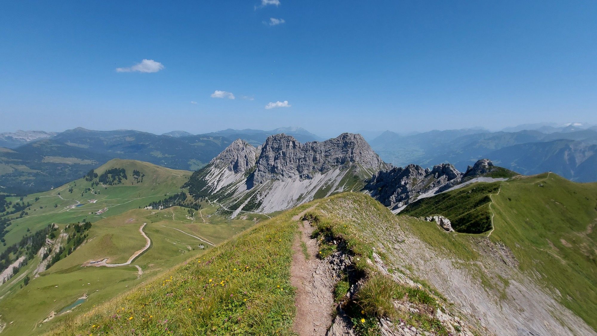
Great views and lake landscapes – Obwalden High Trail
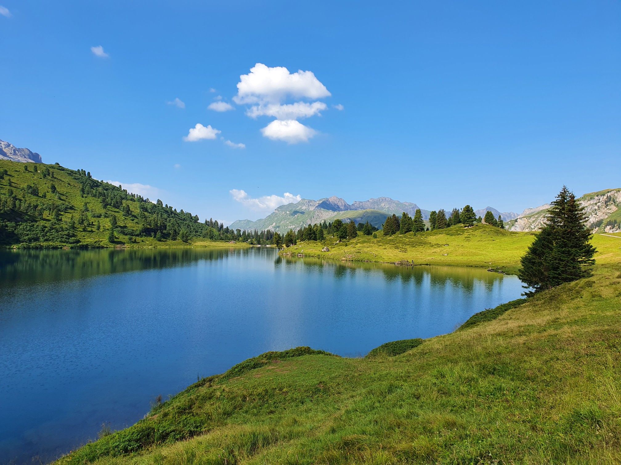
Pure variety on Switzerland’s picturesque Nidwalden Höhenweg
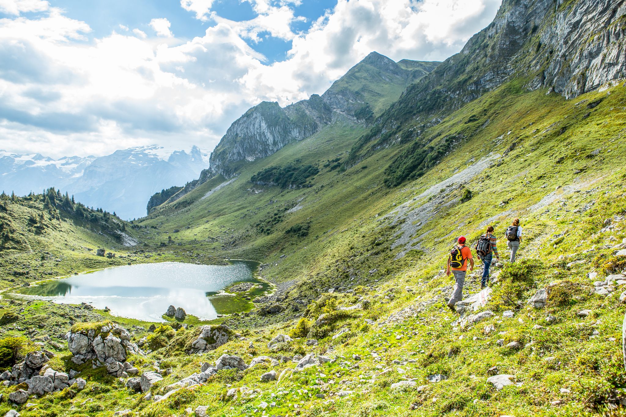
Hikes around Lucerne – the Blogger Hike Challenge 2019
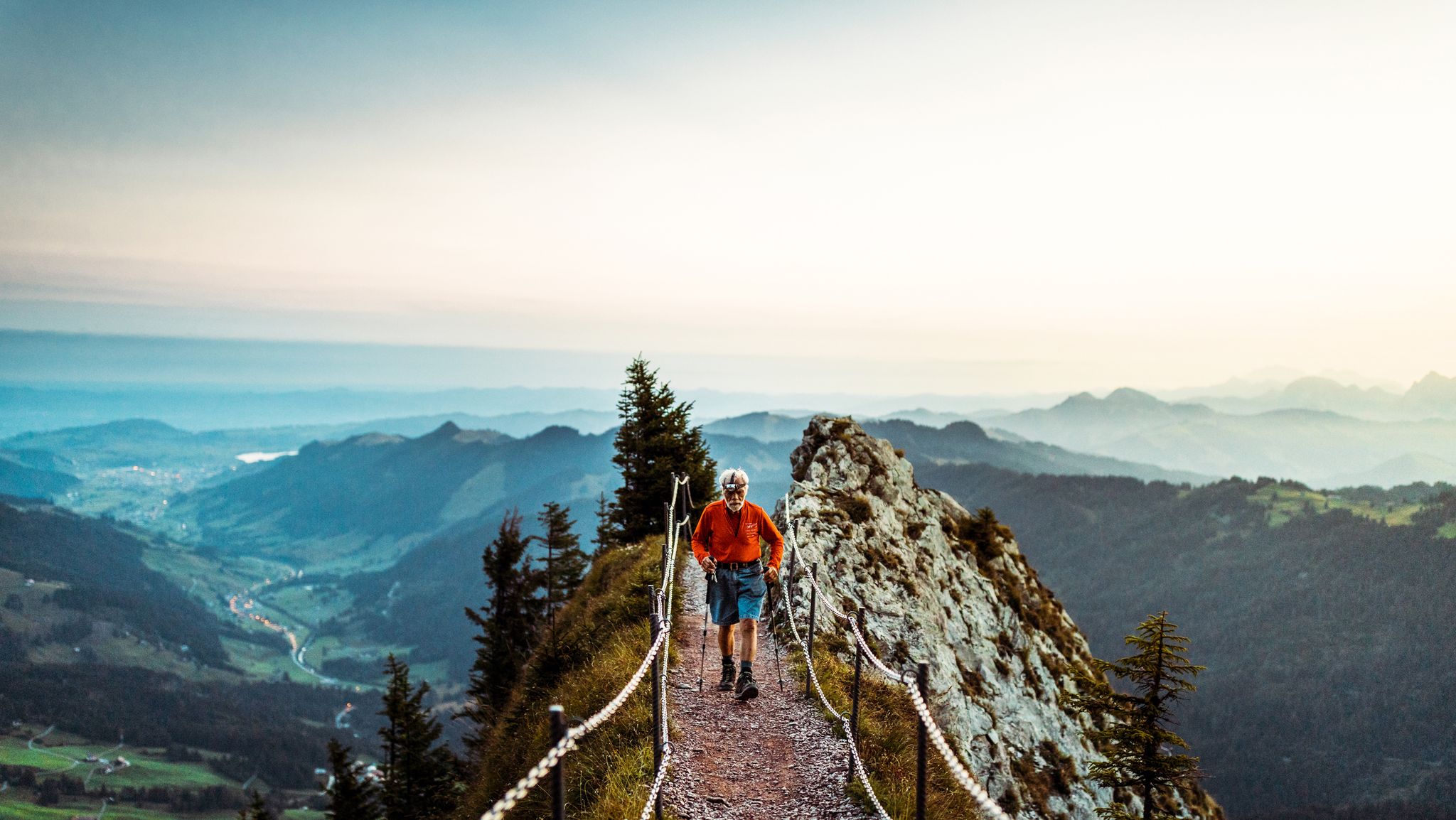
Lucerne — The Myth-man
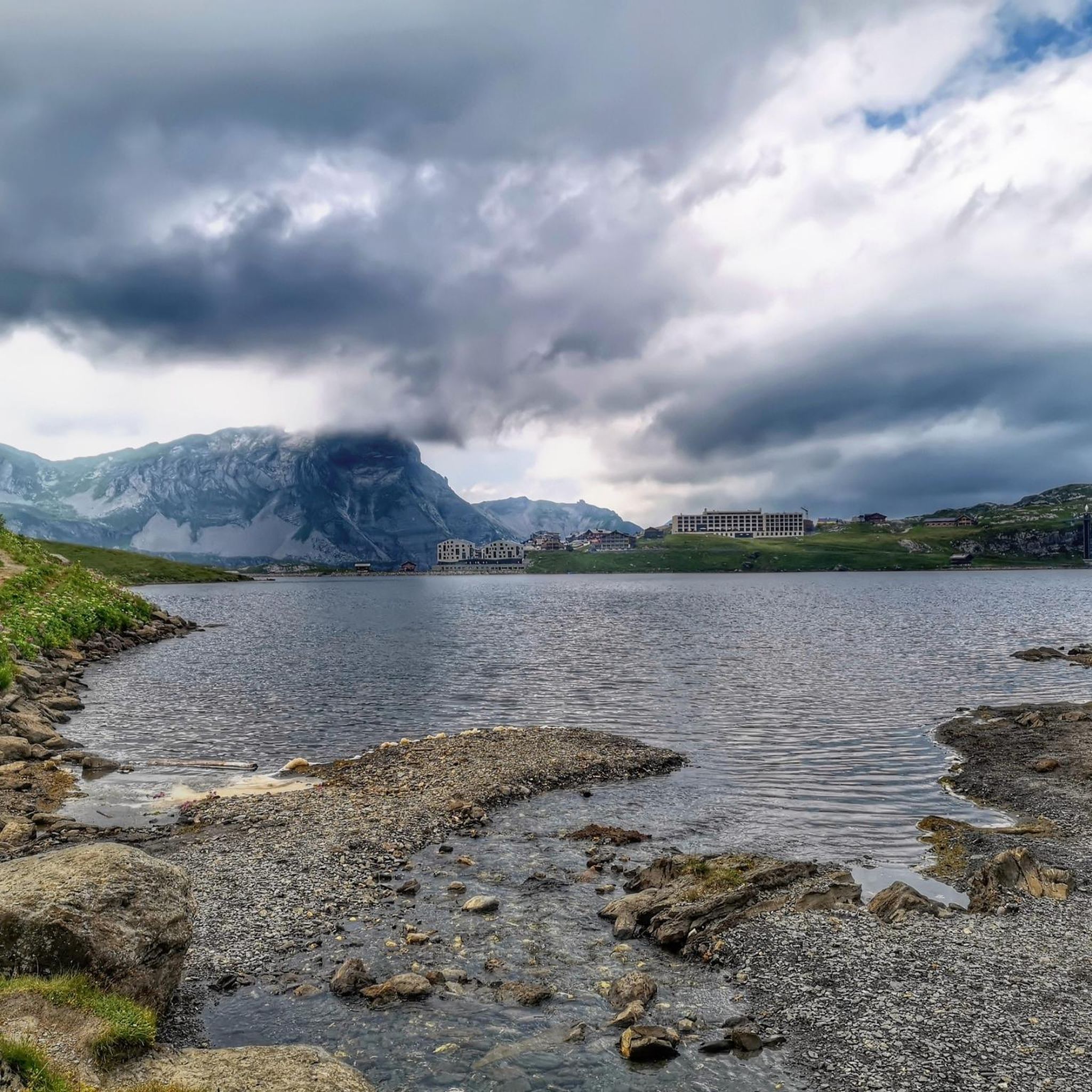
Hiking around Kerns
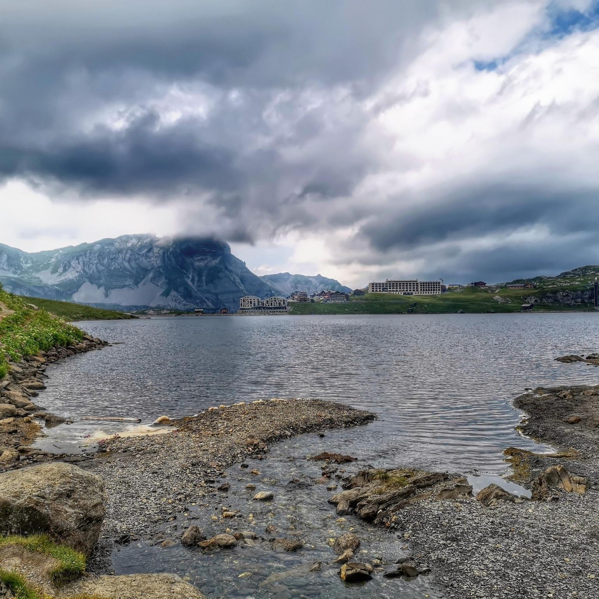
MTB Trails around Kerns
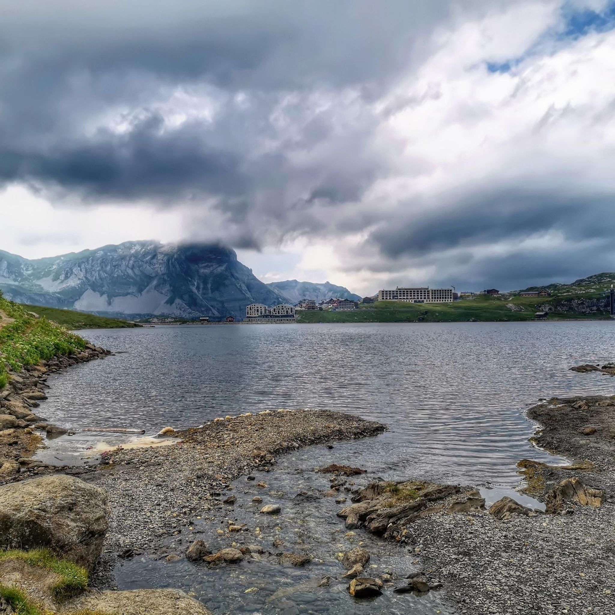
Cycling around Kerns
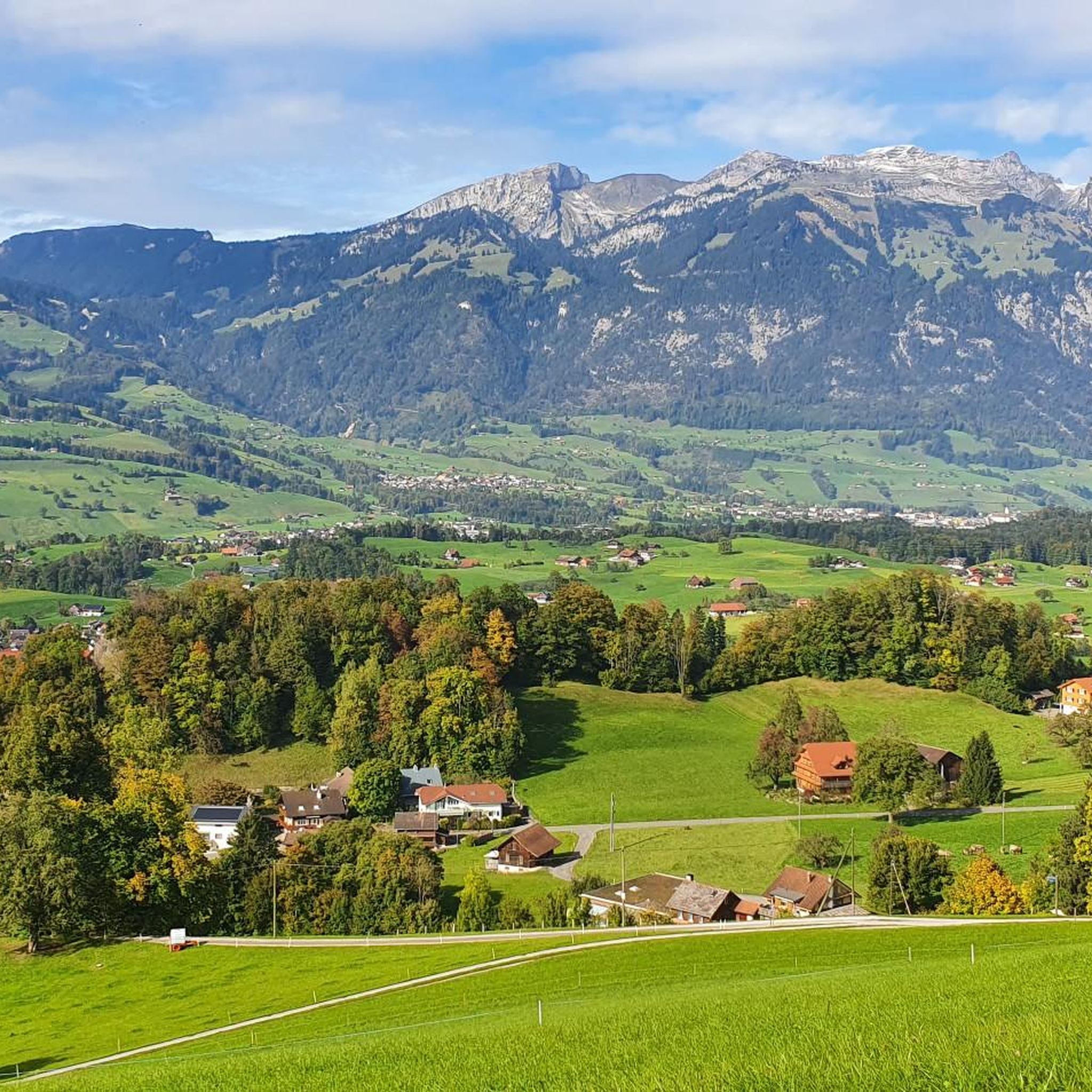
Running Trails around Kerns
Mountain Hikes around Kerns
Gravel biking around Kerns
Other adventures around Kerns


Tips from the Community

Especially at sunset 🌅 or in the evening, when the bridge is illuminated, it looks magical and invites you to linger.
0
0
The tower dates from the 14th century and was formerly used for the defense of the city of Lucerne. ⏳⚔️
0
0

Definitely don't just look at it from the outside. It's a wonderful (bright) church!
0
1

A small mountain pass between the cantons of Obwalden, from Giswil and Lucerne to Sörenberg. The route is narrow on the Obwalden side and in places only single-track, stretching with a very constant gradient of 8 to 12% over meadow slopes and forest up to the highest point. From the Lucerne side, starting at the Brienz Rothorn cable car valley station, it is also only two-track. The highest point is somewhat unspectacular, situated in the sparse mountain forest at the foot of a rock face; the actual pass summit is somewhat lower on the Lucerne side, where there is also a small kiosk.
0
0
It's almost impossible not to see the Swiss Alps here :-) The panoramic road certainly lives up to its name.
0
0
A pleasant drinking water spring in a picturesque setting. Nearby refreshment options complete the offering.
0
0
The eastern slope of the Glaubenberg Pass offers wonderful views time and again – better enjoyed on the ascent than on the descent!
0
0
Excellent asphalt road (09/2025), nice gradient, great curves - a real pleasure to ride down here.
0
0
Frequently Asked Questions
How many road cycling routes are available around Kerns?
Kerns offers a wide selection of road cycling routes, with over 120 different tours available. These routes cater to various skill levels, including easy, moderate, and difficult options.
What kind of scenery can I expect on road cycling routes around Kerns?
Road cycling routes around Kerns traverse breathtaking Alpine landscapes, featuring stunning mountain scenery, peaceful alpine valleys like the Melchtal, and serene lakes such as Lake Sarnen, Lake Melchsee, and Lake Lungern. You'll also pass through lush meadows and forests like Kernwald.
Are there easy road cycling routes suitable for beginners in Kerns?
Yes, Kerns has a good selection of easy road cycling routes, with 27 tours specifically categorized as easy. A great option for a relaxed ride is the Fountain at Sarnen Village Square – View of Lake Sarnen loop from Sarnen Nord, which is about 21.8 km long and takes around an hour to complete, offering scenic views of Lake Sarnen.
Where can I find challenging road cycling routes with significant elevation gain?
For experienced cyclists seeking a challenge, Kerns offers 43 difficult routes with significant elevation changes. A prime example is the Entlebuch Passes Tour, an 86.2 km ride with substantial climbing through mountainous terrain, typically taking over five hours.
What are some notable landmarks or viewpoints along the road cycling routes?
Many routes offer access to stunning viewpoints and landmarks. The region provides access to the Stanserhorn Summit Cable Car Station & Revolving Restaurant, offering outstanding 360-degree views of ten Swiss lakes and 100 kilometers of the Alps. You might also encounter picturesque spots around Lake Sarnen or the tranquil Melchtal valley.
Can I find road cycling routes that feature lakes?
Absolutely. The region is graced by several beautiful lakes. The Fountain at Sarnen Village Square – View of Lake Sarnen loop from Sarnen Nord is an excellent choice for cycling around Lake Sarnen. Other routes may offer glimpses of Lake Melchsee or Lake Lungern, known for their serene beauty.
What is the best time of year for road cycling in Kerns?
The best time for road cycling in Kerns is generally during the warmer months, from late spring to early autumn. This period offers pleasant temperatures and clear conditions, ideal for enjoying the mountainous terrain and scenic lakes. Winter cycling can be challenging due to snow and ice, especially at higher elevations.
Are there any moderate-difficulty routes for intermediate cyclists?
Yes, Kerns features 57 moderate-difficulty road cycling routes. An excellent option for intermediate cyclists is the Sempach – Luzerner Gate, Sempach loop from Sarnen Nord. This 99.2 km path offers varied terrain with notable elevation changes, providing a rewarding ride without being overly strenuous.
What do other road cyclists enjoy most about cycling in Kerns?
The road cycling routes in Kerns are highly rated by the komoot community, with an average score of 4.5 stars from over 500 reviews. Cyclists frequently praise the diverse terrain, from challenging mountain passes to serene lake loops, and the stunning natural beauty of the Alpine landscapes, including the clear streams and lush valleys.
Are there any circular road cycling routes around Kerns?
Yes, many road cycling routes around Kerns are designed as loops, allowing you to start and finish at the same point. For instance, the View of Lake Sarnen – Hohe Brücke loop from Sarnen is a moderate 56 km route that circles through the area, offering varied scenery and a convenient return to your starting point.
Can I find routes that offer views of Mount Pilatus?
Yes, some routes in the vicinity of Kerns provide excellent views of Mount Pilatus. The Stansstad Bridge – View of Mount Pilatus loop from Sarnen Nord is a moderate 27.3 km route that offers picturesque vistas, including the iconic Mount Pilatus, as you cycle through the landscape.
Most popular attractions around Kerns

Get inspired with the komoot mobile app


Explore more
Browse the best Road cycling routes in other regions.
