The best walks and hikes around Kemmern
4.3
(335)
1,293
hikers
34
hikes
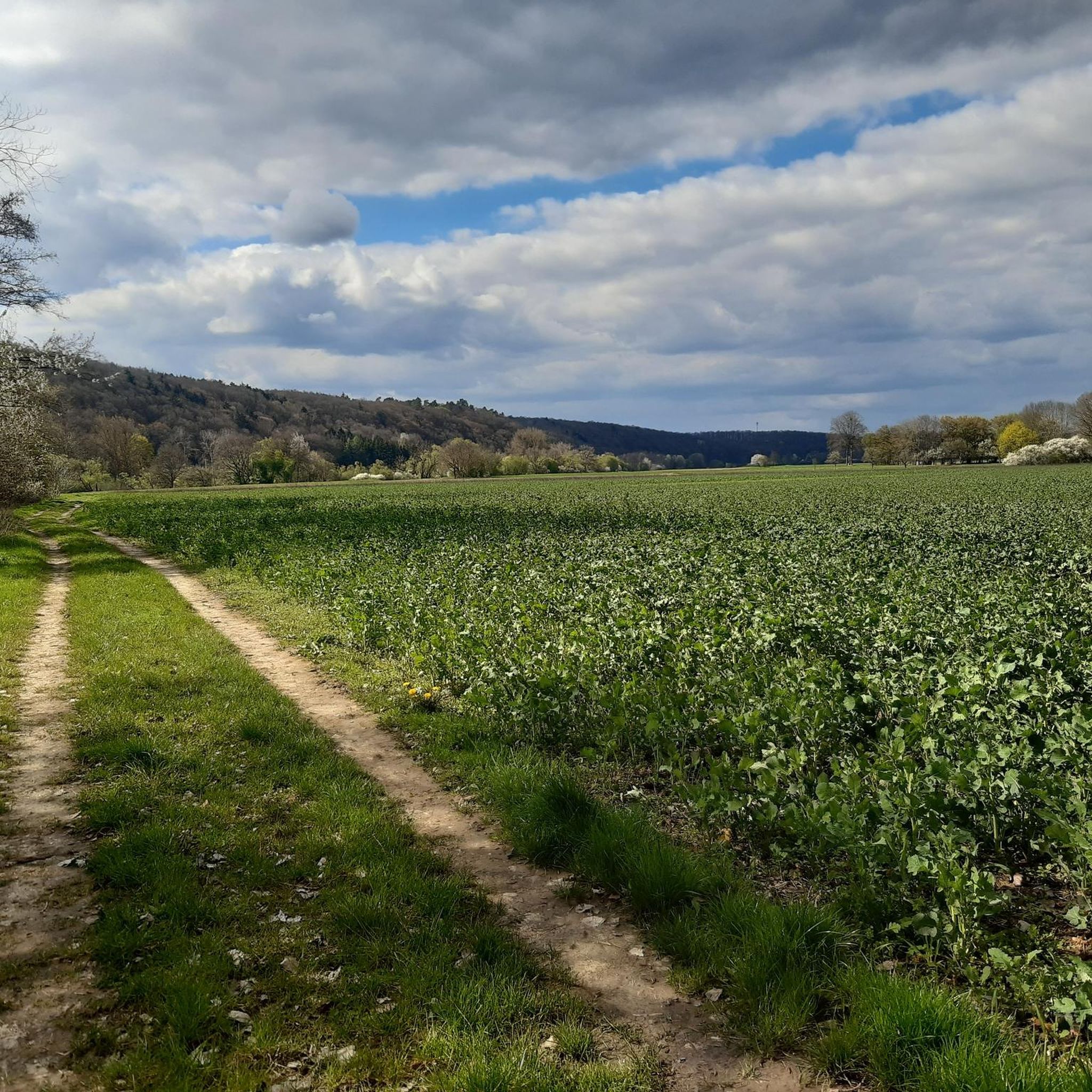
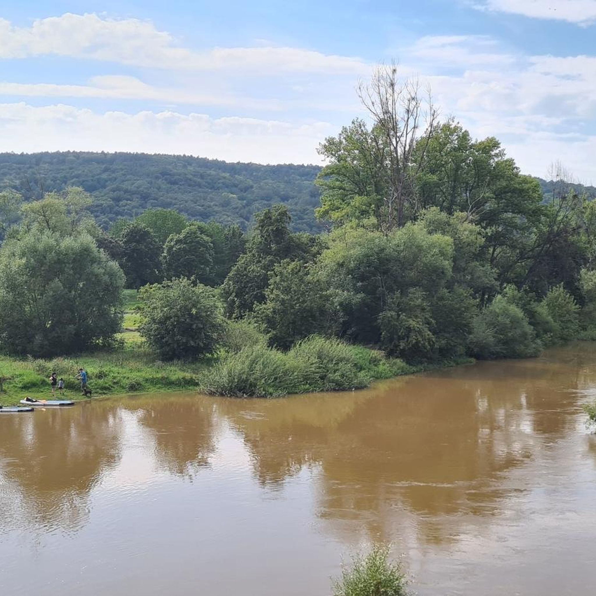
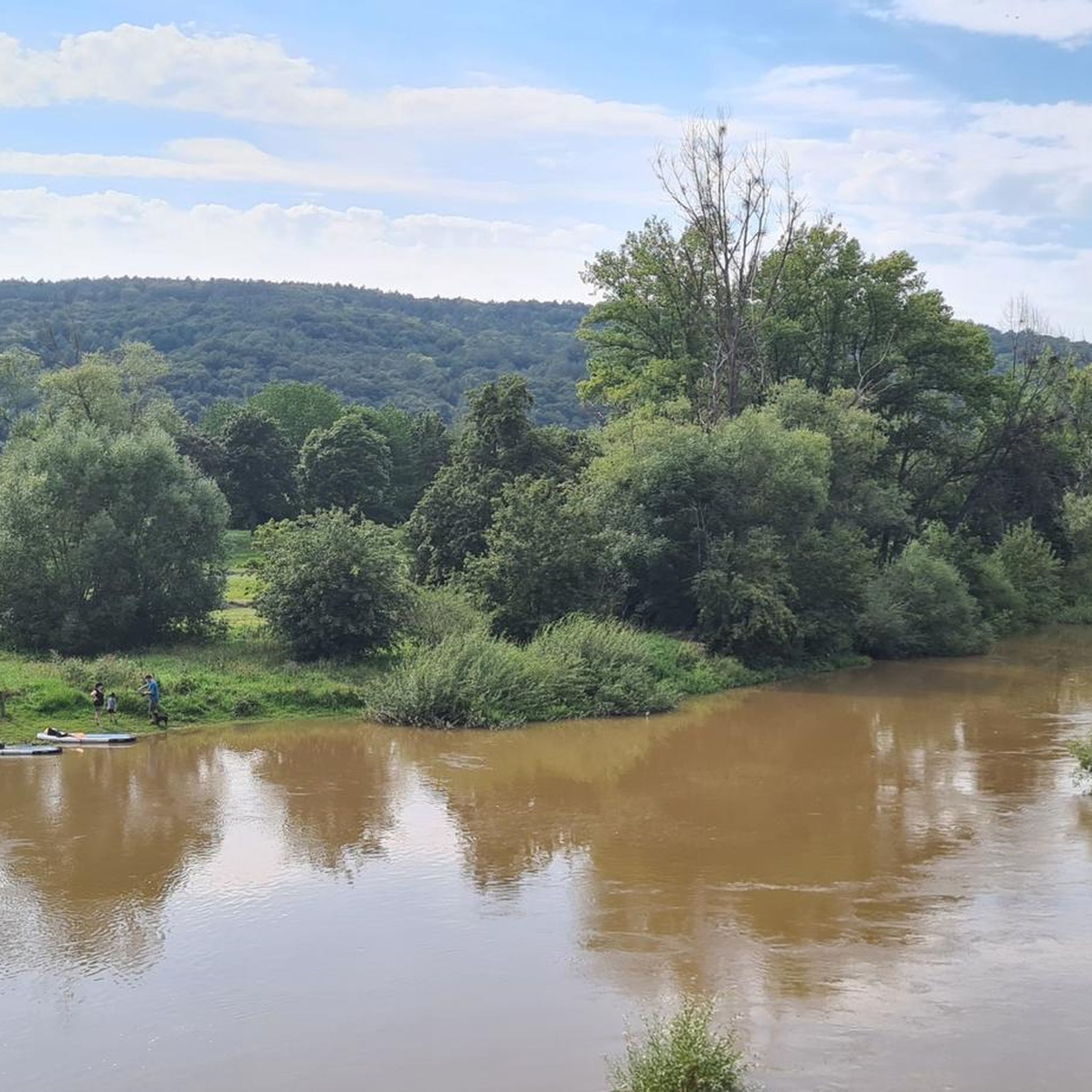
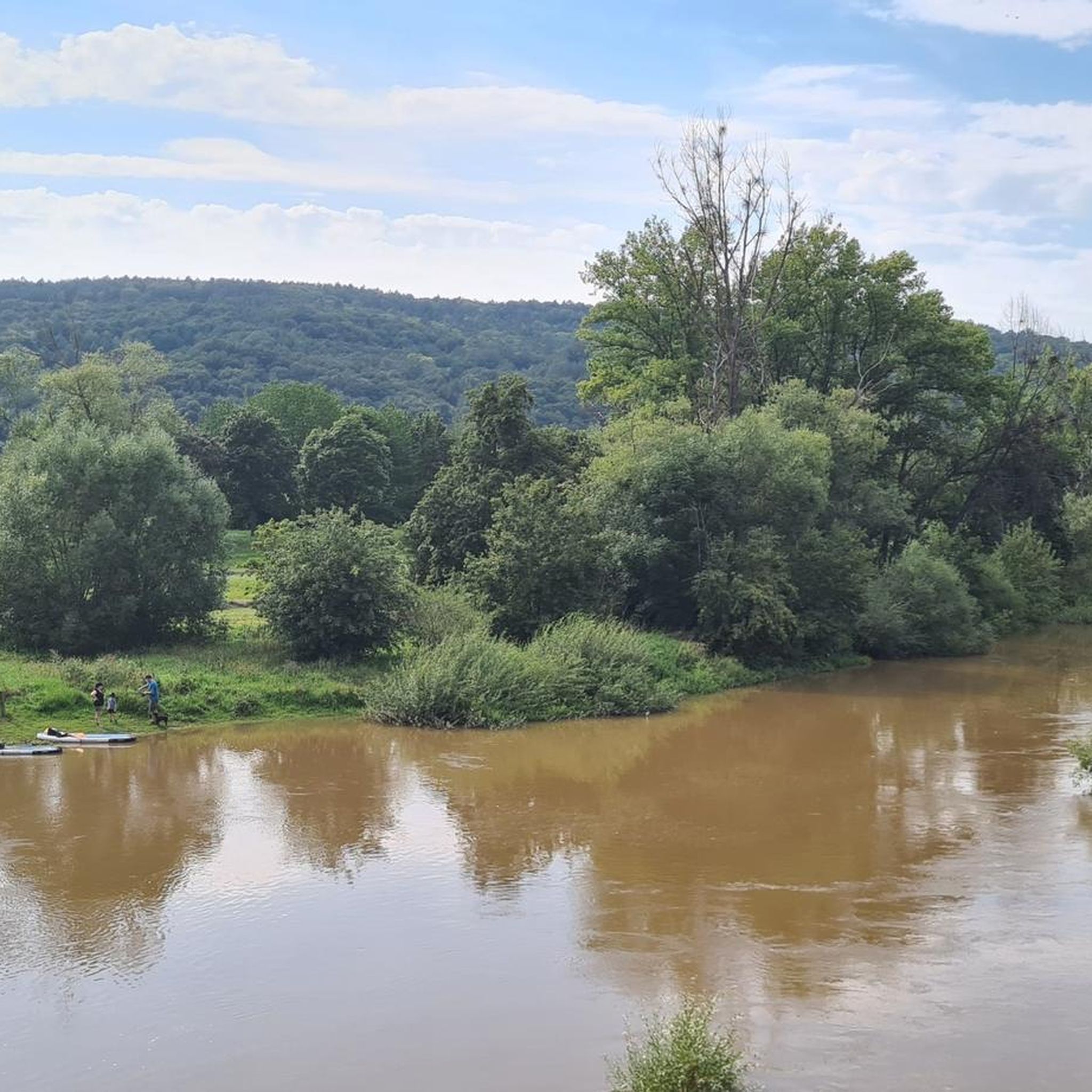
Hiking around Kemmern offers diverse landscapes at the foot of the Franconian Jura Mountains. The region is characterized by extensive forests, the Main River and its floodplains, and varied terrain. This combination provides a range of hiking experiences, from riverside paths to trails with elevation gains.
Best hiking trails around Kemmern
- The most popular hiking route is Main River Riverside Path – Ruins of St. Helen's Chapel loop from Kemmern, a 6.4 miles (10.3 km) trail that takes about 2 hours 50 minutes to complete, passing historical ruins and river views.
- Another top favourite among local hikers is Main River Floodplains – Main River Near Hallstadt loop from Kemmern, an easy 4.5 miles (7.2 km) path. This route offers accessible walks through the Main River floodplains.
- Local hikers also love the Rest Area at Kellerweg loop from Kemmern, a 3.8 miles (6.1 km) trail leading through forested areas, often completed in about 1 hour 43 minutes.
- Hiking around Kemmern is defined by lush forests, the Main River, and the foothills of the Franconian Jura Mountains. The network offers options for various ability levels, from easy riverside strolls to moderate trails with elevation.
- The routes in Kemmern are highly rated by the komoot community with an average score of 4.4 stars from over 295 reviews. More than 1300 hikers have used komoot to explore Kemmern's varied terrain.
Last updated: August 21, 2026
4.7
(197)
602
hikers
10.3km
02:50
170m
170m
Moderate hike. Good fitness required. Easily-accessible paths. Suitable for all skill levels.
4.8
(28)
109
hikers
Easy hike. Great for any fitness level. Easily-accessible paths. Suitable for all skill levels.

Sign up for free
4.6
(24)
82
hikers
6.09km
01:43
130m
130m
Easy hike. Great for any fitness level. Easily-accessible paths. Suitable for all skill levels.
4.4
(10)
42
hikers
14.5km
04:00
240m
240m
Moderate hike. Good fitness required. Easily-accessible paths. Suitable for all skill levels.
4.4
(15)
38
hikers
11.1km
02:53
70m
70m
Moderate hike. Good fitness required. Easily-accessible paths. Suitable for all skill levels.
Get access to more routes and recommendations from other explorers.
Sign up for free
Already have an account?
Our route recommendations are based on thousands of hikes, rides, and runs completed by other people on komoot.
Start today with a free account
Your next adventure awaits.
Login or Signup

Tips from the Community

How quiet the Main is here
0
0
Very nice beer garden with delicious beer in Kemmern 👍👍🍺
2
0

Narrow path along the Main River
1
0
Driving past was no problem
1
0

The spring was only dripping a little today, driving past it was no problem
0
0


Beautiful fish pass with resting places.
0
0
Frequently Asked Questions
How many hiking trails are available around Kemmern?
There are over 30 hiking trails around Kemmern, offering a variety of experiences. Most of these, around 24, are considered easy, while 11 are moderate, ensuring options for different fitness levels.
What kind of landscapes can I expect to see while hiking in Kemmern?
Hiking around Kemmern offers diverse landscapes. You'll find extensive lush forests, the scenic Main River and its floodplains, and varied terrain at the foot of the Franconian Jura Mountains. The area also features the Main-Danube Canal and is close to the Steigerwald Nature Park, known for its ancient trees and wetlands.
Are there any circular hiking routes in Kemmern?
Yes, many of the trails around Kemmern are circular. For example, the Main River Riverside Path – Ruins of St. Helen's Chapel loop from Kemmern is a popular moderate loop, and the Main River Floodplains – Main River Near Hallstadt loop from Kemmern offers an easy circular walk.
What historical landmarks or natural attractions can I discover on the trails?
You can explore several interesting points. The historic 18th-century Ruins of St. Helen's Chapel are a highlight on some routes. Other natural attractions nearby include the Regnitz Confluence at Bischberg and the tranquil Monk Lake.
Are there easy hiking trails suitable for beginners or leisurely strolls?
Absolutely. Kemmern has many easy trails perfect for beginners or those seeking a relaxed walk. The Main River Floodplains – Main River Near Hallstadt loop from Kemmern is an easy 7.2 km path, and the 'Dammrunde' is another accessible option with minimal elevation change, ideal for a leisurely stroll.
When is the best time of year to go hiking in Kemmern?
The region's forests are particularly vibrant in spring and autumn, offering beautiful colors. Spring brings fresh greenery, while autumn provides stunning foliage. However, the diverse trails along the Main River and through the forests can be enjoyed throughout much of the year, including pleasant summer days and even mild winter days.
What do other hikers enjoy most about the trails in Kemmern?
The trails in Kemmern are highly rated by the komoot community, with an average score of 4.4 stars from over 295 reviews. Hikers often praise the diverse terrain, from riverside paths to forest trails, and the scenic views, especially those passing historical sites like the Ruins of St. Helen's Chapel.
Are there any trails that offer good viewpoints?
Yes, being at the foot of the Franconian Jura Mountains, some trails offer varied terrain and elevation gains that lead to scenic overlooks. The Kreuzbergrunde, for instance, is known for providing good views. Additionally, the Steigerwald Treetop Path near Ebrach, within the vicinity, offers unique panoramic views from a 42-meter high observation tower.
Can I find places to eat or drink along the hiking routes?
The region around Kemmern, particularly in Franconia, is known for its hospitality. While specific cafes or pubs directly on every trail are not guaranteed, some routes, like the Kreuzbergrunde, are described as passing by beer gardens, offering opportunities for refreshments.
Are there options for longer-distance hiking from Kemmern?
Yes, Kemmern is a point on the longer Main Hiking Trail. This allows for multi-day or extended hikes, with stages connecting Kemmern to other towns like Ebensfeld and Sand am Main, providing opportunities for long-distance exploration along the Main River.
Is the Steigerwald Nature Park accessible from Kemmern, and what does it offer?
Kemmern is within the vicinity of the Steigerwald Nature Park. This park is characterized by vineyards, woodlands, and wetlands, featuring ancient oak and beech trees. It offers a network of hiking and biking trails, including the notable Steigerwald Panorama Trail, and the Steigerwald Treetop Path for unique views. More information can be found at frankentourismus.com.
Most popular attractions around Kemmern

Get inspired with the komoot mobile app


Explore more
Browse the best Hikes in other regions.
