The best running trails around Preux-Au-Bois
4.3
(35)
2,534
runners
199
runs
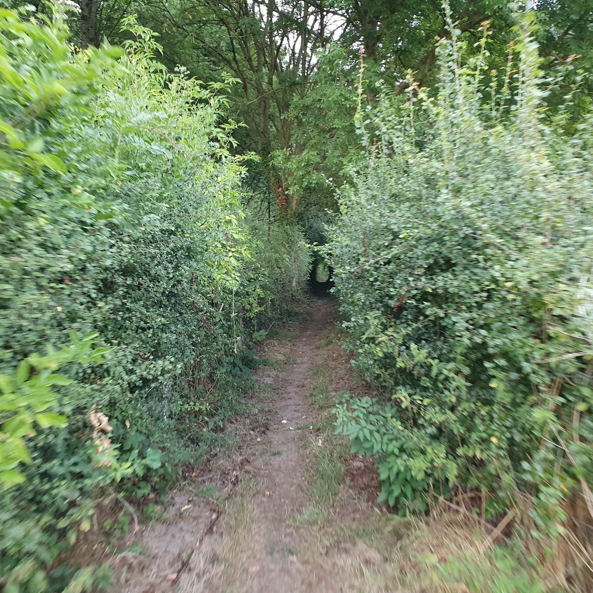
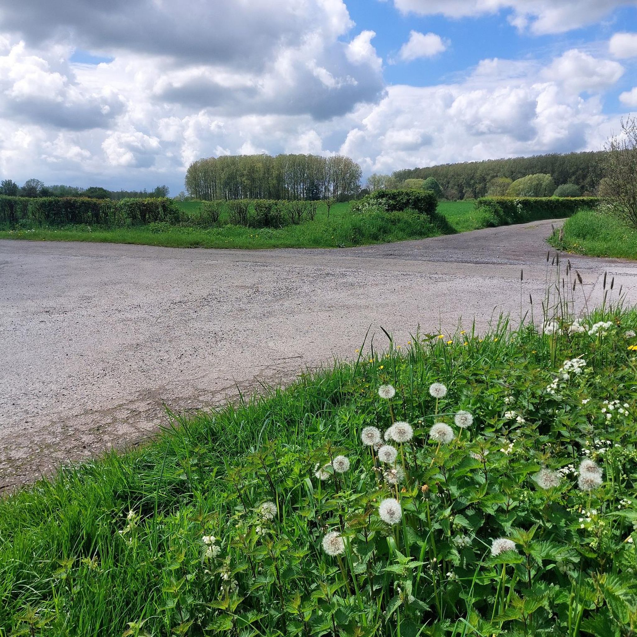
Jogging routes around Preux-Au-Bois offer access to varied natural landscapes, including the Mormal National Forest and the bocage belt. The region is characterized by a mix of dense woodlands, open pastures, and serene waterside paths around features like Étang David. Terrain generally features gentle elevation changes, with maximum altitudes under 200 meters, making it suitable for a range of running abilities. The network of trails is well-maintained, providing clear navigation for runners.
Best jogging routes around Preux-Au-Bois
- The most popular…
Last updated: July 3, 2026
20
runners
18.8km
02:09
110m
110m
Hard run. Very good fitness required. Mostly paved surfaces. Suitable for all skill levels.
15
runners
12.5km
01:20
60m
60m
Moderate run. Good fitness required. Mostly paved surfaces. Suitable for all skill levels.

Sign up for free
12
runners
5.32km
00:33
30m
30m
Moderate run. Good fitness required. Mostly paved surfaces. Suitable for all skill levels.
3
runners
14.2km
01:31
70m
70m
Moderate run. Good fitness required. Mostly paved surfaces. Suitable for all skill levels.
2
runners
22.6km
02:20
90m
90m
Hard run. Very good fitness required. Mostly paved surfaces. Suitable for all skill levels.
Get access to more routes and recommendations from other explorers.
Sign up for free
Already have an account?
Our route recommendations are based on thousands of hikes, rides, and runs completed by other people on komoot.
Start today with a free account
Your next adventure awaits.
Login or Signup


Frequently Asked Questions
How many running routes are available around Preux-Au-Bois?
There are over 180 running routes around Preux-Au-Bois listed on komoot, offering a wide variety of options for different skill levels and preferences. These include 15 easy routes, 134 moderate routes, and 36 difficult routes.
What kind of terrain can I expect on the jogging trails in Preux-Au-Bois?
Jogging routes in Preux-Au-Bois feature diverse terrain. You'll find paths through the dense Mormal National Forest, open bocage landscapes with hedges and pastures, and serene waterside sections around places like Étang David. The elevation changes are generally gentle, with maximum altitudes under 200 meters, making them accessible for various running abilities.
Are there any easy running routes suitable for beginners or families?
Yes, Preux-Au-Bois offers 15 easy running routes. These paths are generally flat and well-maintained, making them ideal for beginners or families looking for a relaxed run. The routes around Étang David, for instance, often provide flat, accessible terrain with picturesque views.
What do other runners say about the trails in Preux-Au-Bois?
The running routes in Preux-Au-Bois are highly rated by the komoot community, with an average score of 4.4 stars from over 20 reviews. More than 2000 runners have explored the varied terrain, often praising the well-marked paths and the beautiful natural scenery of the Mormal National Forest and Étang David.
Can I find circular running routes in the area?
Yes, many of the running routes in Preux-Au-Bois are designed as circular loops, allowing you to start and finish at the same point. An example is the Running loop from Preux-au-Bois, which offers a moderate 12.5 km circuit through the local landscape.
Are there any notable landmarks or points of interest along the running paths?
While jogging, you can encounter various points of interest. The region is close to historical sites like Le Quesnoy Ramparts and the Church of Our Lady of the Assumption. Some routes also pass by charming village features or offer views of castles such as Marguerite of Burgundy Castle.
What is the longest running route available from Preux-Au-Bois?
One of the longer running options is the Étang du Trappeur loop from Preux-au-Bois. This challenging trail spans 22.6 km (14.1 miles) and typically takes about 2 hours and 20 minutes to complete, leading through varied terrain.
Are the running trails well-marked in Preux-Au-Bois?
Yes, the trails in Preux-Au-Bois, including the 'Preux-au-Bois circuit', are generally well-marked. This ensures clear navigation and helps runners stay on track, reducing the chance of getting lost while exploring the natural sites and rural landscapes.
What kind of natural features can I expect to see while running?
You'll experience the expansive Mormal National Forest, characterized by dense woodlands, and the unique bocage belt with its mosaic of hedges and pastures. Many routes also feature the serene beauty of Étang David, offering picturesque waterside running opportunities.
Is there a route that specifically features Étang David?
Yes, the Étang David loop from Preux-au-Bois is a popular moderate 14.2 km (8.8 miles) path that specifically highlights the picturesque waterside sections around Étang David, providing a tranquil running experience.
What is the best time of year to go running in Preux-Au-Bois?
Preux-Au-Bois offers enjoyable running conditions throughout much of the year. Spring and autumn provide pleasant temperatures and beautiful scenery with changing foliage. Summer is also suitable, especially in the shaded parts of the Mormal National Forest. Always check local weather conditions before heading out.
Most popular attractions around Preux-Au-Bois

Get inspired with the komoot mobile app


Explore more
Browse the best Running Trails & Routes in other regions.
