The best MTB trails around Katzhütte
4.7
(1618)
4,157
riders
233
rides
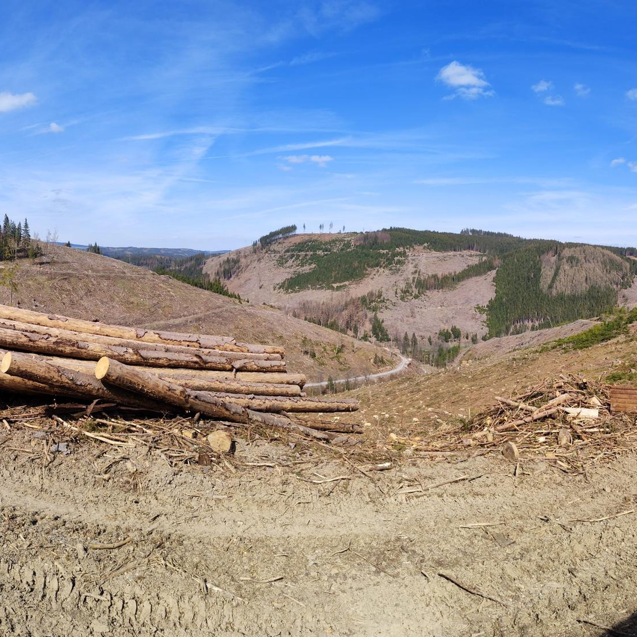
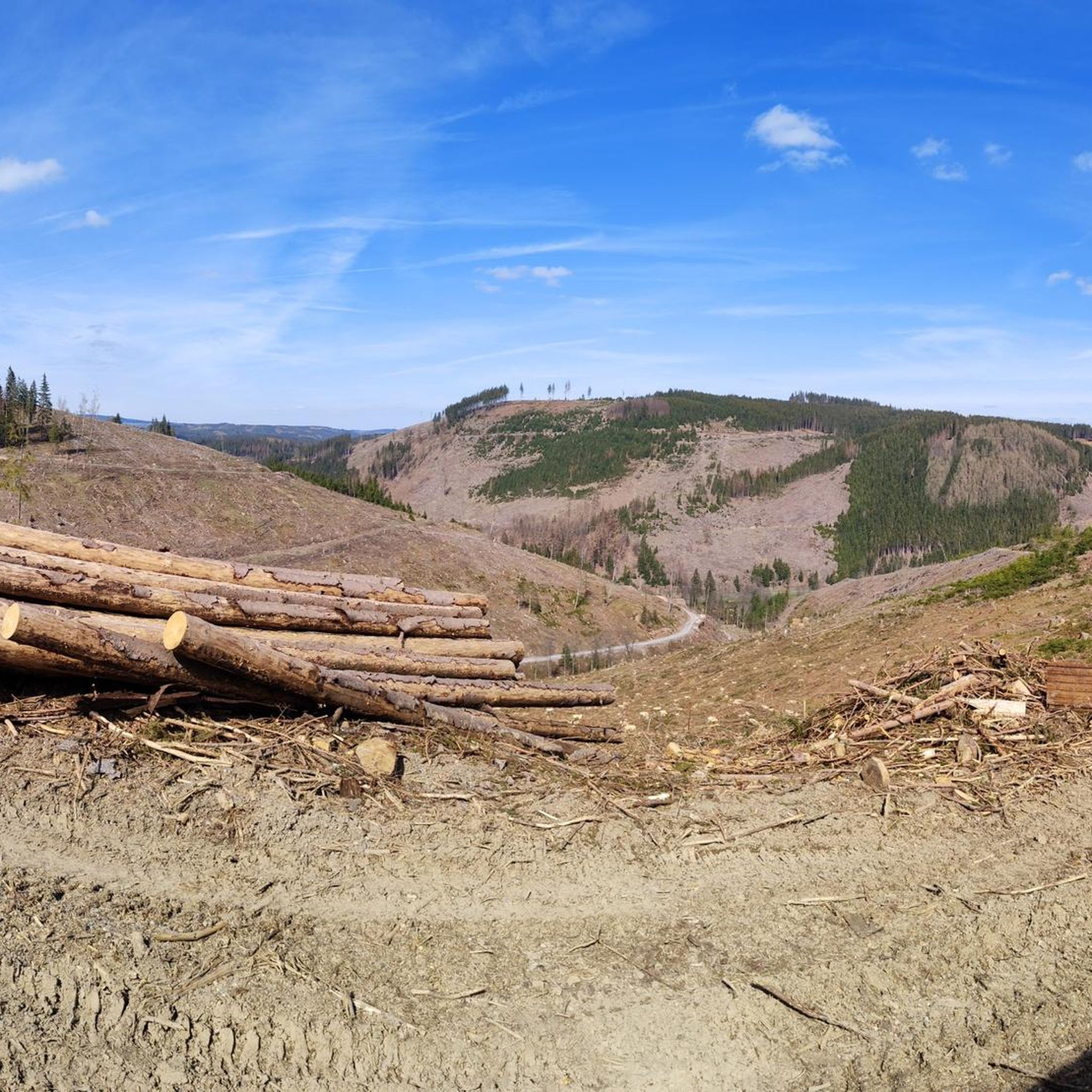
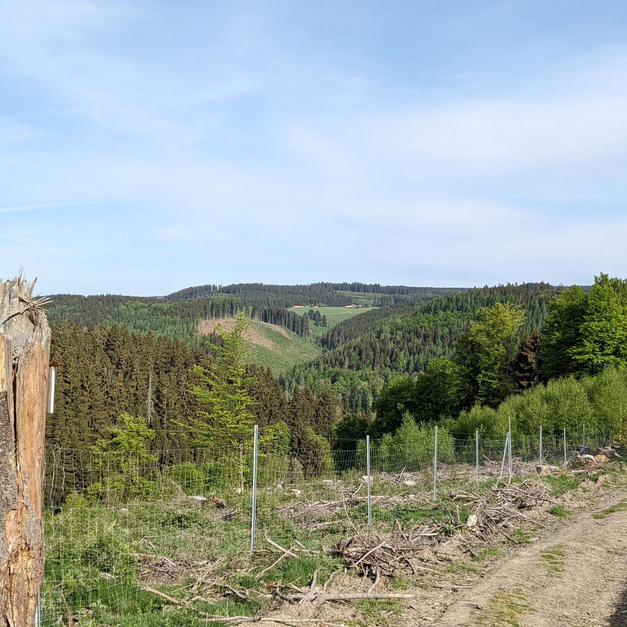
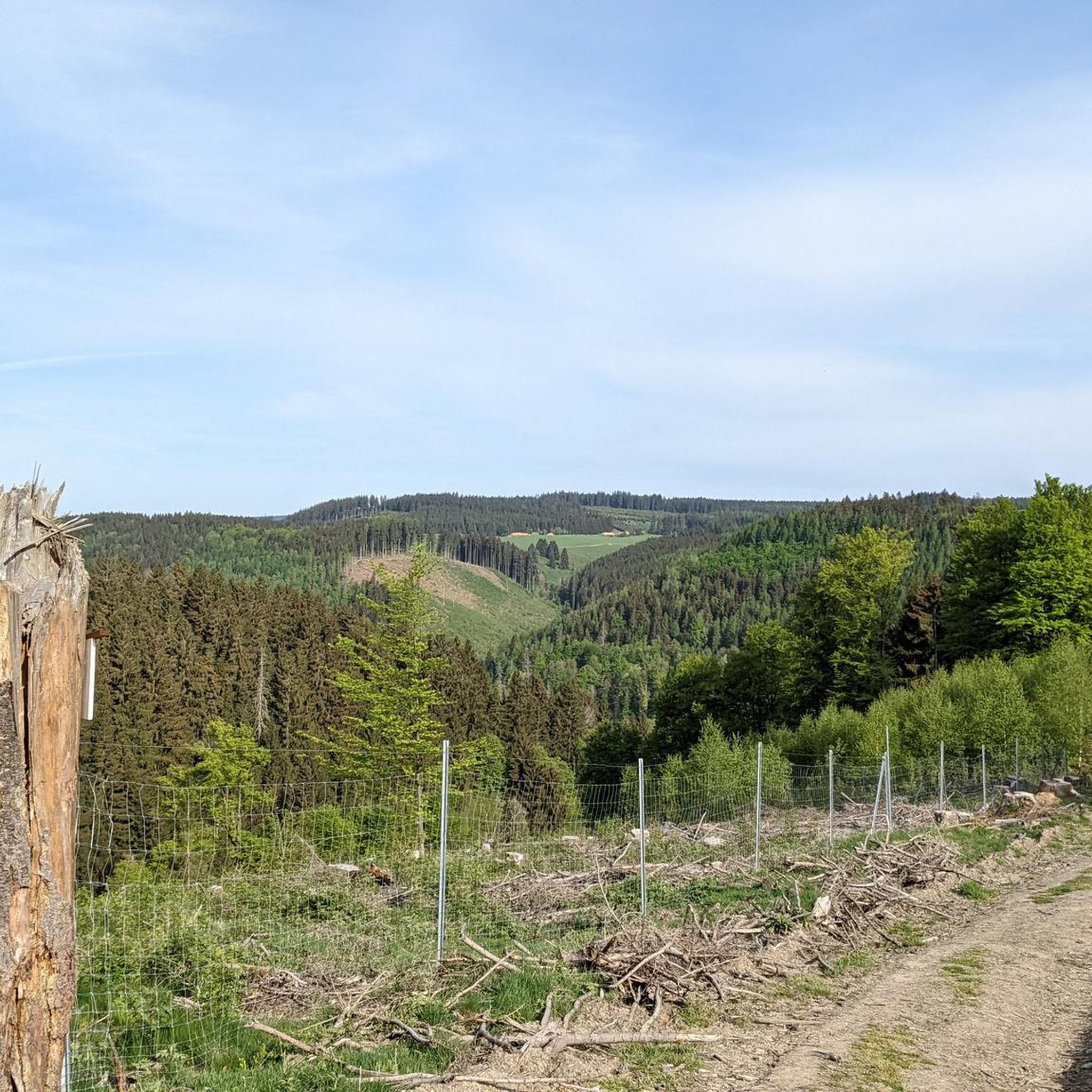
Mountain bike trails around Katzhütte traverse a landscape characterized by dense forests, rolling hills, and the Thuringian Slate Mountains. The region features prominent peaks like Fellberg (842 meters) and Kuppenberg (786 meters), offering varied elevation changes. The Schwarza Valley provides a picturesque gorge with steep rock walls, contributing to diverse terrain for mountain biking. This combination of natural features creates a network of routes suitable for different skill levels.
Best mountain bike trails around Katzhütte
- The most popular mountain bike…
Last updated: October 5, 2026
4.3
(27)
59
riders
42.5km
03:50
880m
880m
Moderate mountain bike ride. Good fitness required. Advanced riding skills necessary.
4.8
(29)
91
riders
48.0km
03:29
560m
560m
Moderate mountain bike ride. Good fitness required. Suitable for all skill levels.

4.6
(18)
56
riders
23.7km
01:51
250m
250m
Easy mountain bike ride. Great for any fitness level. Suitable for all skill levels.
4.7
(10)
50
riders
74.8km
05:54
1,040m
1,040m
Hard mountain bike ride. Very good fitness required. Advanced riding skills necessary.
4.9
(8)
38
riders
31.4km
02:29
460m
460m
Moderate mountain bike ride. Good fitness required. Advanced riding skills necessary.
Get access to more routes and recommendations from other explorers.
Already have an account?
Our route recommendations are based on thousands of hikes, rides, and runs completed by other people on komoot.
Start today with a free account
Your next adventure awaits.

Tips from the Community

The Große Dreiherrenstein (808 m) is a prominent historical border point and a central junction on the Rennsteig in the Thuringian Forest. The stone marks the historical border between the former lordships of Saxe-Weimar-Eisenach, Schwarzburg-Sondershausen, and Henneberg/Prussia.
4
0

At the Schildwiese rest stop, there is a very special piece of Rennsteig history: a small customs house that is reminiscent of the former division of Germany. It was created by Günther Schmidt from Spechtsbrunn. With a lot of humor, he has designed a place here that recalls the time when the Rennsteig was actually divided by the border. Today, you can hike here without any passport control.
10
0
During the Rennsteig Church Day on June 20, 2009, the memorial at Schildwiese was inaugurated. The metal cross, over four meters high, was designed by the builders from original parts of the old border fence. In front of it, a plaque on a stone block commemorates the people who died in this section of the inner-German border, and all victims of the wall and barbed wire during the German division.
7
0
The "Zollhaus" at the Rennsteig border monument is not a restored historical building. The hut was erected and equipped in autumn 2016 by the Frankenwaldverein Kleintettau. It is intended to commemorate the vibrant customs history of this border region and the era of German division. The monument also includes a historical border stone and two posts with the coats of arms of the Free State of Bavaria and the district of Kronach on one side, and the Free State of Thuringia and the district of Saalfeld-Rudolstadt on the other.
13
0
At the intersection in the Neustadt district of Kahlert, the "New Center of the Rennsteig Region" was inaugurated on June 10, 2022. The wood-stone-slate structure, designed and implemented by regional companies, is intended to welcome guests and locals and invite them to linger. The placement of the visually appealing "eye-catcher" in the center of the Rennsteig region underscores the importance of the location.
5
0
The historic customs house on the border between Bavaria and Thuringia near Kleintettau (Markt Tettau) is a reconstructed historic customs station. It is located directly on the legendary Rennsteig hiking trail on the so-called Schildwiese. Today, the small building serves as a historical site and border memorial, commemorating the decades-long inner-German division.
5
0

Those who push ahead from Masserberg towards Langertfelsen and Neustadt on the Rennsteig will be rewarded with distant views and plenty of mountain air.
1
0

Friedrichshöhe is situated on a high plateau in the Thuringian Slate Mountains, north of Eisfeld and southeast of Masserberg on the Rennsteig hiking trail. The village lies amidst mountain meadows, surrounded by forests at an altitude of 800 meters above sea level. It is accessible via a road leading to the B281 federal highway.
11
0
Frequently Asked Questions
How many mountain bike trails are available around Katzhütte?
Katzhütte offers a wide selection of mountain bike trails, with over 240 routes recorded on komoot. This includes 35 easy, 131 moderate, and 78 difficult trails, catering to various skill levels.
Are there mountain bike trails suitable for beginners in Katzhütte?
Yes, there are 35 easy mountain bike trails around Katzhütte. These routes are generally shorter and have less elevation gain, making them ideal for beginners or those looking for a relaxed ride through the scenic forests and rolling hills.
What kind of terrain can I expect on mountain bike trails in Katzhütte?
The terrain around Katzhütte is characterized by dense forests, rolling hills, and the Thuringian Slate Mountains. You'll encounter varied surfaces, from forest paths to more challenging sections with elevation changes, especially around prominent peaks like Fellberg (842 meters) and Kuppenberg (786 meters). The Schwarza Valley also offers picturesque gorge sections with steep rock walls.
Are there challenging mountain bike routes for experienced riders?
Absolutely. Katzhütte boasts 78 difficult mountain bike routes for experienced riders. One challenging option is the Eisfelder Resting Place – Three-current brick loop from Masserberg, which covers 73.9 km and involves significant elevation changes, typically taking nearly 6 hours to complete.
What are some notable viewpoints or attractions along the mountain bike trails?
Many trails offer access to stunning viewpoints and natural attractions. You can find panoramic views from the Rennsteigwarte on Eselsberg or the Blessberg Observation Tower. The majestic Fellberg itself provides breathtaking vistas. Additionally, routes may pass by the Werra Spring Fehrenbach or the picturesque Scheibe-Alsbach Reservoir.
Can I find family-friendly mountain bike options in Katzhütte?
While specific family-friendly MTB routes are not highlighted, the region's 35 easy trails are generally suitable for families with some biking experience. The area also features attractions like the "Waldpark" adventure playground, which can be combined with easier rides for a family outing.
When is the best time of year to go mountain biking in Katzhütte?
The best seasons for mountain biking in Katzhütte are typically spring and autumn. During these times, temperatures are mild, and the natural colors of the dense forests are particularly vibrant. Summer also offers pleasant rides, especially through the shaded forest paths.
Are there mountain bike routes that form a loop?
Yes, many mountain bike routes in Katzhütte are designed as loops. For example, the moderate Werra Spring Fehrenbach – Scheibe-Alsbach Dam loop from Gießübel is a popular 42.9 km circular route. Another option is the Werra Spring Fehrenbach – Three-current brick loop from Masserberg, a 48.1 km moderate loop.
What do other mountain bikers say about the trails in Katzhütte?
The mountain bike trails around Katzhütte are highly rated by the komoot community, with an average score of 4.7 stars from over 1,300 reviews. Riders often praise the diverse terrain, the beauty of the dense forests, and the well-maintained paths that cater to various skill levels.
Are there any places to rest or get refreshments along the trails?
Yes, you can find places to rest and refuel. For instance, the Fellbergbaude, located near the majestic Fellberg, offers a wonderful spot to take a break and enjoy the panoramic views. Many routes also pass through or near small villages where local eateries might be available.
What are some of the longer mountain bike routes in the area?
For those seeking longer rides, Katzhütte offers several options. The Eisfelder Resting Place – Three-current brick loop from Masserberg is a challenging 73.9 km route. Another substantial ride is the Werra Spring Fehrenbach – Three-current brick loop from Masserberg, covering 48.1 km.
Can I find routes that pass by water bodies like lakes or reservoirs?
Yes, several routes in the Katzhütte area incorporate water features. You can find trails that lead past the Scheibe-Alsbach Reservoir, the Leibis-Lichte Dam, or the tranquil Ochsenbacher Pond. These offer scenic breaks and beautiful photo opportunities.
Most popular attractions around Katzhütte

Get inspired with the komoot mobile app


Explore more
Browse the best MTB trails in other regions.
