The 8 Most Amazing Peaks around Saignelégier
Best mountain peaks around Saignelégier are located within the gently undulating high plain of the Jura plateau, offering a distinctly mountainous landscape. The municipality itself sits at approximately 980 meters. This region features elevated areas that provide panoramic views and an extensive network of hiking trails. The unique "park landscape" with rolling hills, pastures, and forests defines the area's natural beauty.
Best mountain peaks around Saignelégier
- The most popular mountain peaks is Mont Crosin (1,227 m), a mountain pass…
Last updated: May 14, 2026
Mont Soleil
Highlight • Summit
The Monts trail between Mont Soleil and Mont Crosin allows …
Translated by Google •
Tip by

Faux d'Enson Observation Tower
Highlight • Viewpoint
Translated by Google •
Tip by

Sign up now to discover places like this
Get recommendations on the best single tracks, peaks, & plenty of other exciting outdoor places.
Sign up for free
Mont Crosin (1,227 m)
Highlight • Mountain Pass
Translated by Google •
Tip by

Chasseral Ridge Trail to Biel
Highlight (Segment) • Trail
Translated by Google •
Tip by

Church in Montfaucon
Highlight • Religious Site
More information: de.wikipedia.org/wiki/Montfaucon_JU#Sehensw%C3%BCrdbaren
Translated by Google •
Tip by

Sign up for free to discover even more peaks around Saignelégier.
Sign up for free
Already have an account?
Start today with a free account
Your next adventure awaits.
Login or Signup
Popular around Saignelégier

Trans Swiss Trail – Hiking across Switzerland
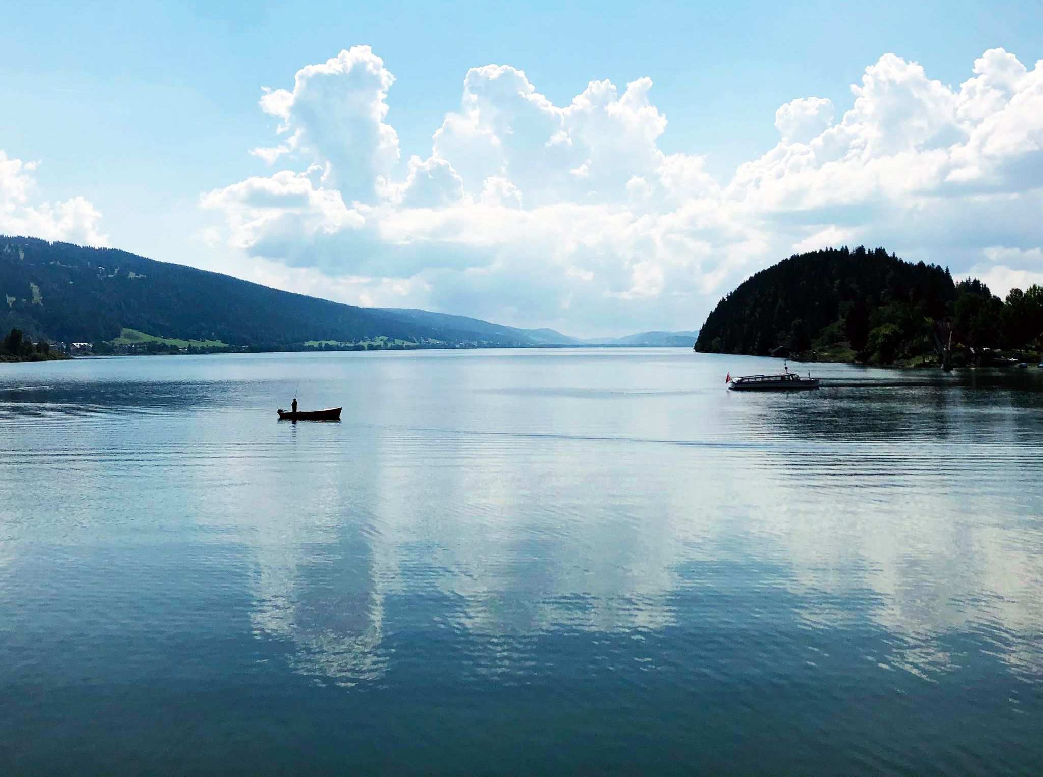
Cycling the Jura from Basel to Lake Geneva in 6 stages
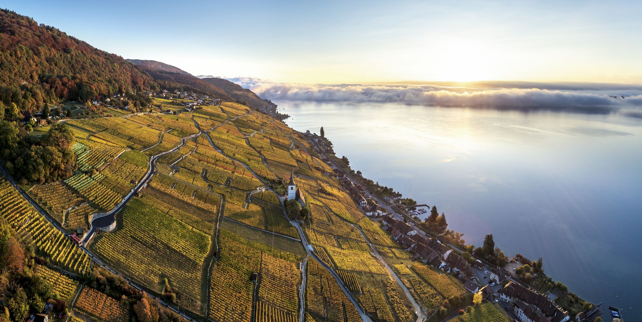
Waterside hiking in the Jura & Three-Lakes region
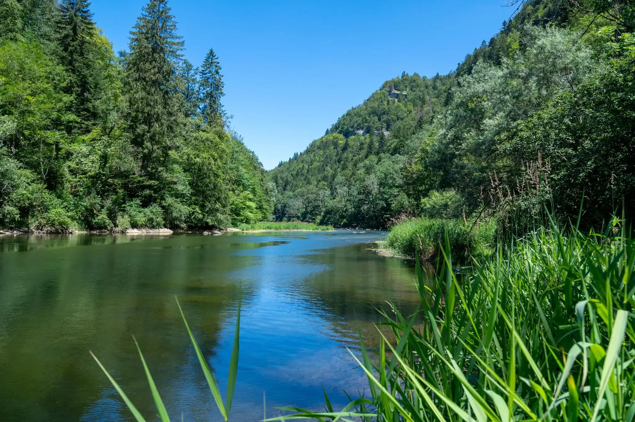
Follow France’s Doubs River through spectacular landscapes
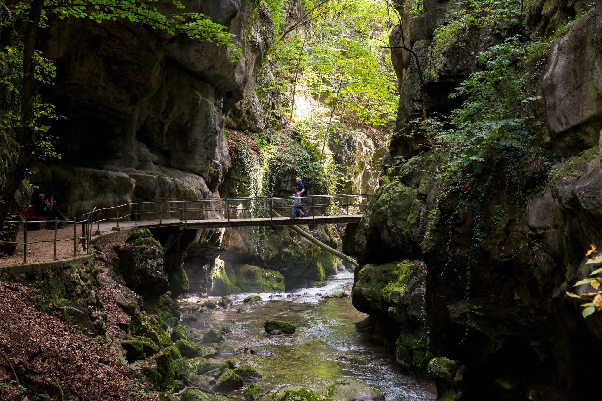
Schluchtenwanderungen im Jura & Drei-Seen-Land
Hiking around Saignelégier
Cycling around Saignelégier
MTB Trails around Saignelégier
Road Cycling Routes around Saignelégier
Running Trails around Saignelégier
Other adventures around Saignelégier


Tips from the Community

The ride up on the cable car and the view from the plateau across to the Chasseral and down to St. Imier is beautiful.
0
0

At an altitude of 1,280 m, the Mont-Soleil resort offers you magnificent views of the Chasseral and the Combe Grède. The Monts trail between Mont Soleil and Mont Crosin allows you to enjoy panoramas of the Jura massif, as well as the possibility of visiting the solar power plant and the wind turbine park. The funicular, built in 1903, connects St Imier and Mont-Soleil.
2
0

The Faux d'Enson observation tower is a 9 meter high concrete tower with metal stairs, built in 1989 by the Jura section of the Swiss Alpine Club. It is located at an altitude of 927 meters, at the summit of the Faux d'Enson mountain, which is part of the Mont-Terri range. From the tower, you enjoy a breathtaking view of the whole of Ajoie, as well as the border between France and Switzerland, marked by stone pillars. On a clear day, you can also see the Pays de Montbéliard, the Bernese Alps, the Vosges and the Black Forest. At the top of the tower, an orientation table allows you to identify landmarks on the horizon.
2
0

Beautifully landscaped and maintained wind energy park. Paths that are too beautiful for my standards and sections of path that are too fenced off.
0
0

Mont Crosin is one of the highest peaks in the Bernese Jura. The ascent already begins when you come from the south (VILLIERS), at the entrance to the village with a steep ramp to the center of the village. Now you follow the road to TRAMELAN and the ascent runs in the wooded ascent over 5.7 kilometers with an average of 7%. At the top you can see the Jura in the direction of TRAMELAN. There are quite a few motorbikes on weekends, but highly recommended.
1
0

Located above Saint-Imier, Mont-Soleil offers breathtaking views of the Chasseral and offers numerous activities. The funicular from Saint-Imier takes you to Mont-Soleil, a must-see for outdoor enthusiasts and anyone interested in renewable energy.
1
0

Small church in Montfaucon, well worth seeing. More information: https://de.wikipedia.org/wiki/Montfaucon_JU#Sehensw%C3%BCrdbaren
0
0

With its 1,289 meters, the Mont Soleil is the highest point of the entire mountain range and the view of the valley is really fantastic. Switzerland's largest solar power plant is located on Mont Soleil. The hamlet, which mainly consists of holiday homes and restaurants, is connected to the town of Saint-Imier by a cable car.
1
1
Frequently Asked Questions
What are some notable elevated points or 'peaks' to explore near Saignelégier?
While Saignelégier is known for its gently undulating high plain rather than dramatic alpine peaks, there are several significant elevated points offering stunning views. These include Mont Soleil, which is the highest point of its mountain range at 1,289 meters, and Mont Crosin (1,227 m), a mountain pass in the Bernese Jura. Additionally, Le Haut Bémont (1,075 meters) and an even higher point above Chaumont (1,088 meters) contribute to the region's scenic landscape.
Where can I find the best panoramic views in the Saignelégier region?
For breathtaking panoramic views, visit Mont Soleil, which offers magnificent vistas of the Chasseral and the Combe Grède. Another excellent spot is the Faux d'Enson Observation Tower. From its 927-meter altitude, you can see the whole of Ajoie, the border between France and Switzerland, and on clear days, even the Bernese Alps, Vosges, and Black Forest.
Are there family-friendly activities or sites near the elevated areas of Saignelégier?
Yes, the region offers several family-friendly options. The Mont Soleil area is accessible via a funicular from Saint-Imier and features holiday homes and restaurants, making it a pleasant destination for families. The Étang de la Gruère, a picturesque moor lake and nature reserve, offers easy hiking paths suitable for all ages. Additionally, the Church in Montfaucon is listed as a family-friendly historical site.
What natural features are prominent in the Saignelégier area?
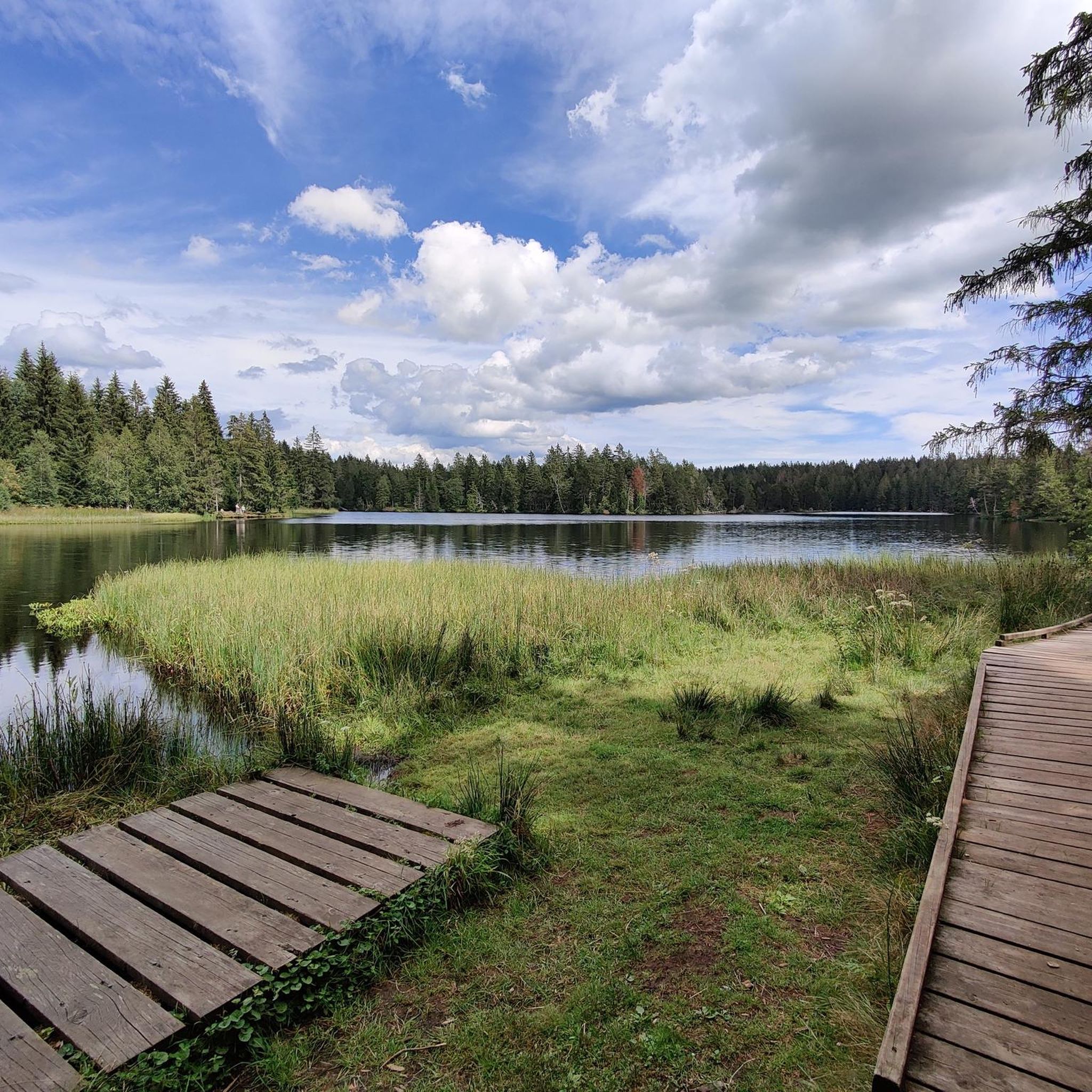
The Saignelégier region is characterized by its unique 'park landscape' on the Jura plateau, featuring rolling hills, open grazing pastures, scattered fir forests, and remote farms. A significant natural highlight is the Étang de la Gruère, a 12,000-year-old marsh conservation area of national importance, offering tranquil paths and opportunities to observe native flora and fauna.
What kind of hiking trails can I expect around Saignelégier?
The Franches-Montagnes region boasts an extensive network of hiking trails that traverse its elevated landscapes. You'll find paths ranging from easy walks around natural sites like the Étang de la Gruère to more challenging routes with moderate elevation gains, such as sections of the Jura High Trail. These trails often lead 'from vantage point to vantage point,' showcasing the area's beauty.
What outdoor activities can I do near these mountain peaks besides hiking?
Beyond hiking, the Saignelégier area is excellent for cycling and gravel biking. You can find numerous routes, such as the 'Mont Soleil Wind Farm – Étang de la Gruère loop' for cycling or the 'Jura pastures – Mont Soleil Wind Farm loop' for gravel biking. For more options, explore the Road Cycling Routes around Saignelégier, Cycling around Saignelégier, or Gravel biking around Saignelégier guides.
When is the best time to visit the Saignelégier mountains?
The Saignelégier region offers outdoor activities throughout the year. Spring and autumn are ideal for hiking and cycling, with pleasant temperatures and vibrant landscapes. In winter, the elevated and unspoiled landscape transforms into a wonderland for cross-country skiers and snowshoe trekkers, with numerous prepared trails.
Are there any challenging trails or climbs for experienced hikers?
While the region is known for its rolling hills, more challenging routes exist. The Chasseral Ridge Trail to Biel is categorized as challenging and offers significant elevation changes and technical sections, particularly for mountain biking, but also provides a demanding hiking experience with spectacular views.
What makes the Franches-Montagnes landscape around Saignelégier unique?
The Franches-Montagnes region is distinctive for its 'austere park-like landscape' and gently undulating high plain. It's characterized by open grazing pastures interspersed with copses and dense fir forests, creating an idyllic setting. This area is also famous as the home of the Franches-Montagnes horse breed, with over 450 kilometers of bridle paths available for equestrian activities.
What do visitors enjoy most about the elevated points near Saignelégier?
Visitors frequently praise the magnificent panoramic views, especially from spots like Mont Soleil and Mont Crosin. The unique, expansive landscape of the Jura plateau, with its rolling hills and forests, is also a major draw. Many appreciate the extensive network of trails for hiking, cycling, and winter sports, offering a variety of outdoor experiences.
Can I reach these elevated points using public transport?
Yes, some elevated points are accessible via public transport. For instance, Mont Soleil is connected to the town of Saint-Imier by a historic funicular, making it easily reachable without a car. For other trails and points, local bus services might provide access to trailheads, though specific routes should be checked for current schedules.
Most popular routes around Saignelégier
Most popular attractions around Saignelégier

Get inspired with the komoot mobile app


Explore more
See even more amazing summits around Saignelégier with these guides:
