The best gravel rides around Lac De Codole
3.4
(8)
74
riders
3
rides
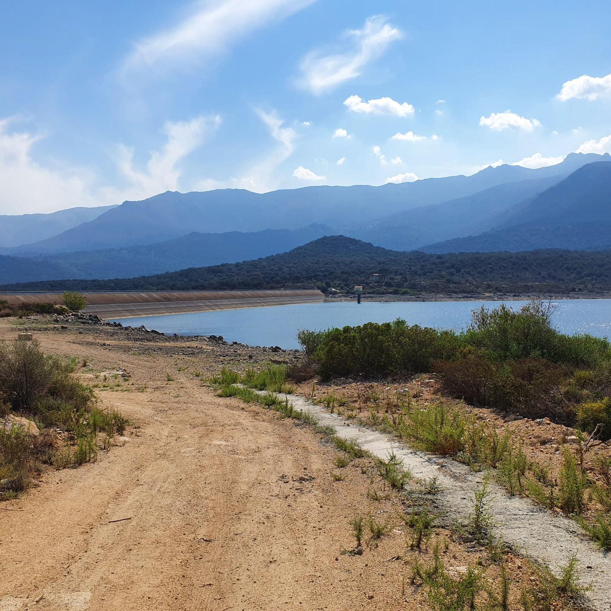
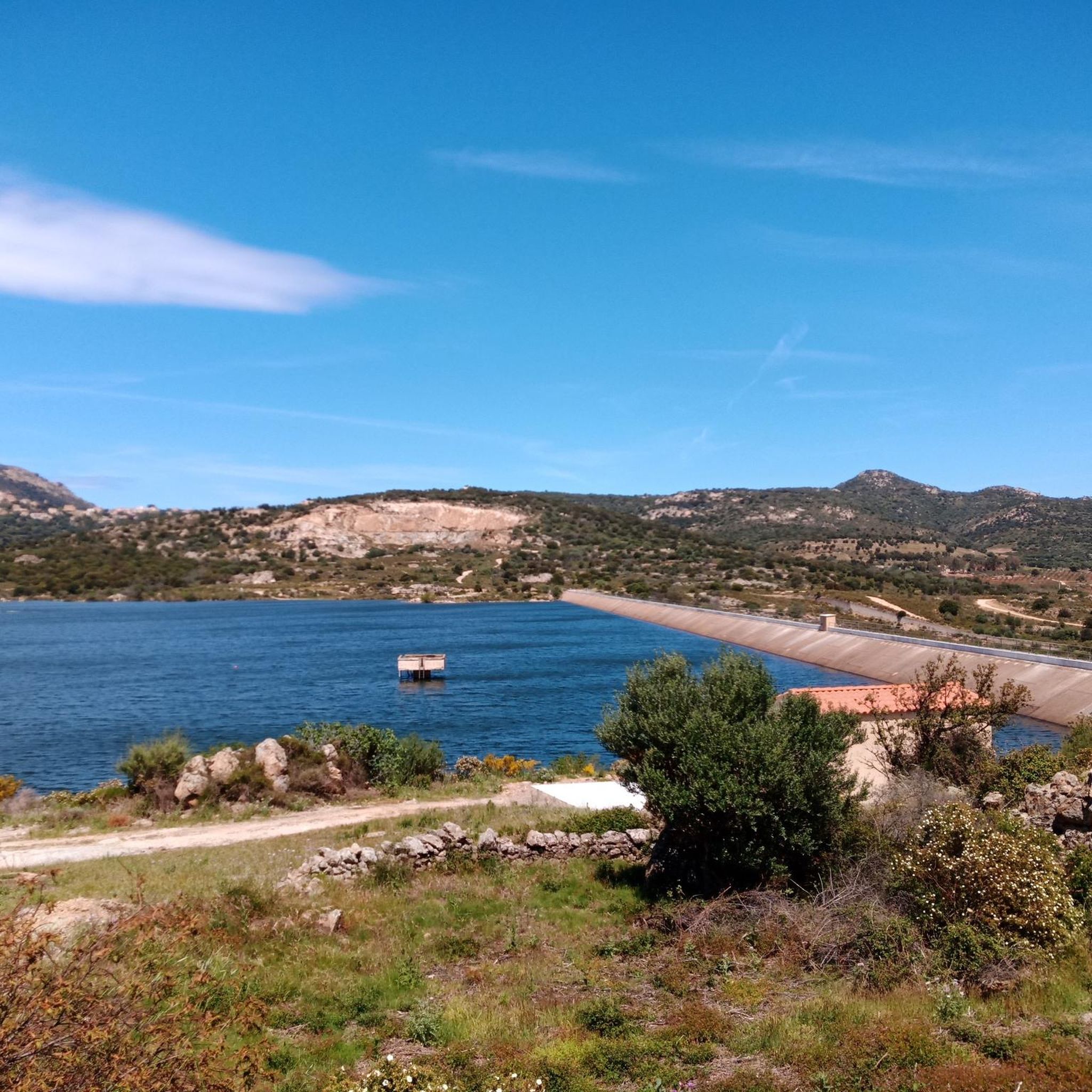
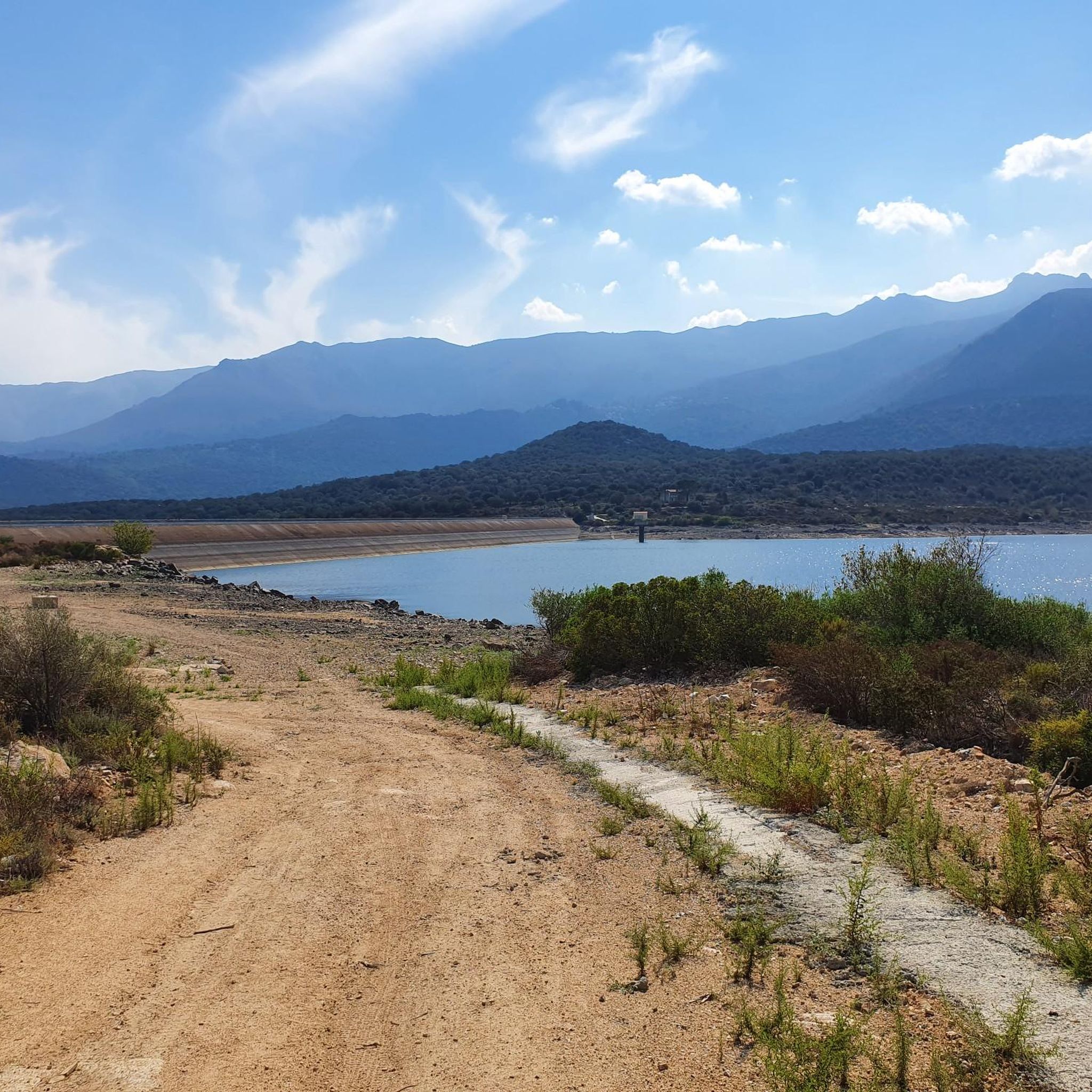
Gravel biking around Lac De Codole, located in the Balagne region of Haute-Corse, Corsica, offers diverse landscapes for exploration. This artificial lake, formed by the Barrage de Codole, is surrounded by pastures, cultivated olive and citrus groves, and various oak forests. The terrain includes a mix of accessible paths, unpaved roads, and forest trails, suitable for gravel bikes. The area features mountainous backdrops, providing varied elevations for riders.
Best gravel bike trails around Lac De Codole
- The most popular gravel…
Last updated: May 25, 2026
32
riders
46.5km
03:19
960m
960m
Hard gravel ride. Very good fitness required. Mostly paved surfaces. Suitable for all skill levels.
2.0
(1)
5
riders
18.2km
01:21
430m
430m
Moderate gravel ride. Good fitness required. Mostly paved surfaces. Suitable for all skill levels.

Sign up for free
4.7
(3)
9
riders
21.6km
01:39
490m
490m
Hard gravel ride. Very good fitness required. Mostly paved surfaces. Suitable for all skill levels.
3.5
(4)
28
riders
50.4km
03:32
910m
910m
Hard gravel ride. Very good fitness required. Mostly paved surfaces. Suitable for all skill levels.
Our route recommendations are based on thousands of hikes, rides, and runs completed by other people on komoot.
Start today with a free account
Your next adventure awaits.
Login or Signup
Tips from the Community


The charming little village of Occiglioni is worth a detour for many reasons. Its stone streets, typical of the Corsican maquis, give it a certain charm, and the shaded cafés are ideal for a refreshing break. Don't forget to enjoy the views from the village terraces.
0
0

The pass itself has a provisional pass sign at the junction to a fenced antenna system, but the D 151 towards Montegrosso as a mountain road climbs by about 15 meters in altitude over the next undulating 800 meters.
1
0
For those who are planning a detour to the Forêt Domaniale de Bonifatu or who are thinking of driving past Calvi and heading southwest over the Col de Marsolino, it even represents a shortcut via a beautiful hillside road. Which brings us to the most important point: the most beautiful panorama of the bay of Calvi and the ridge towards Monte Cinto is probably from the road over the Col de Salvi. This means that on the D 151 leading over the pass, despite the very moderate traffic volume, you may well come across a coach that is too big for the road, which is mostly only one and a half lanes wide.
1
1
The Col de Salvi is a quiet, very worthwhile connection option for racing cyclists who are heading towards Calvi from the (north)east via the Col de San Colombano or the Bocca di a Battaglia.
1
0
The municipalities of Lunghignano and Montemaggiore merged in 1972 to form the municipality of Saint-Rainier-de-Balagne. Saint-Rainier-de-Balagne was merged with Cassano on 1 January 1973 to form the municipality of Montegrosso, named after the Monte Grosso mountain range.
1
0
Montegrosso consists of the villages of Montemaggiore/Montemaiò as the main town (381 m), Cassano/Cassani (300 m) and Lunghignano/Lunghignani (340 m). The municipality is located at about 400 meters above sea level and borders Lavatoggio to the north, Cateri and Avapessa to the northeast, Muro to the east, Zilia to the southeast, Calenzana to the southwest, Calvi to the west and Lumio to the northwest.
1
0
Montegrosso (Corsican: Montegrossu) is a municipality on the French island of Corsica. It belongs to the region of Corsica, the department of Haute-Corse, the arrondissement of Calvi and the canton of Calvi. Depending on the district, the residents call themselves Montemaggiorais, Lunghignanais, Cassanais, Montemaiuracci, Lunghignaninchi or Cassaninchi.
1
0
Frequently Asked Questions
What kind of terrain can I expect on gravel bike trails around Lac De Codole?
The gravel biking trails around Lac De Codole offer a diverse mix of terrain. You'll encounter unpaved roads, forest trails, and paths winding through pastures, cultivated olive, almond, and citrus groves. The area also features scrubland and various oak forests, all set against a backdrop of mountains, providing varied surfaces ideal for gravel bikes.
Are there any family-friendly gravel biking options near Lac De Codole?
While many routes in the area are rated as difficult, the diverse network of paths and unpaved roads around Lac De Codole can be adapted for various skill levels. For families, it's advisable to look for shorter, less elevated sections or explore the 11 km loop around the Codole dam, which offers a scenic and generally less strenuous ride. Always check the route details for elevation and distance to ensure it suits your family's capabilities.
What are some scenic viewpoints or attractions I can see along the gravel routes?
Gravel biking around Lac De Codole offers numerous scenic opportunities. Routes often provide panoramic views of the lake and the majestic mountains. You can also pass through charming Corsican villages like Sant'Antonino, which is known as the 'Eagle's Nest of the Balagne' and offers spectacular vistas. The lake itself, being a Natura 2000 zone, is excellent for observing diverse wildlife and enjoying tranquil natural settings.
What do other gravel bikers enjoy most about the trails in Lac De Codole?
The gravel biking routes in Lac De Codole are highly rated by the komoot community, with an average score of 4.4 stars from over 15 reviews. Riders often praise the diverse Mediterranean landscapes, the charm of the Corsican villages encountered along the way, and the varied terrain of unpaved roads and forest trails that make for engaging rides.
Are there any circular gravel biking routes available?
Yes, several circular routes are popular among gravel bikers. For instance, the View of Sant'Antonino – View of Giunchetu Bay loop from Monticello is a 22.4-mile (36.0 km) difficult trail offering panoramic views. Another option is the View of San Antonino – View of Corbara loop from Muro, a 28.6-mile (46.1 km) difficult path that traverses varied terrain and charming villages.
What is the best time of year for gravel biking around Lac De Codole?
Given the Mediterranean climate of the Reginu valley, spring and autumn are generally the most pleasant seasons for gravel biking around Lac De Codole. The weather is milder, and the landscapes are vibrant. Summers can be hot, while winters are typically mild but may bring some rain. Always check local weather forecasts before heading out.
Are dogs allowed on the gravel bike trails?
While specific regulations for dogs on gravel bike trails around Lac De Codole are not explicitly stated, it's generally recommended to keep dogs on a leash, especially in protected areas like the Natura 2000 zone, to protect local wildlife. Always be mindful of other trail users and local signage regarding pets.
Where can I find parking for gravel biking near Lac De Codole?
The D113 road runs along the south shore of Lac De Codole, offering accessible views and potential starting points. Additionally, the lake is accessible via roads like the D63 from the national route T30, making it relatively easy to reach by vehicle. Look for designated parking areas near villages such as Monticello, Muro, or Bodri, which serve as common starting points for many routes.
Are there any cafes or accommodation options near the gravel bike trails?
The area around Lac De Codole is dotted with charming Corsican villages like Feliceto, Speloncato, Santa-Reparata-di-Balagna, Monticello, Pigna, and Sant'Antonino. These villages often offer local cafes, restaurants, and various accommodation options, providing convenient stops for refreshments or overnight stays during your gravel biking adventure.
What is the typical difficulty level of gravel bike trails in this region?
The gravel biking routes around Lac De Codole are predominantly rated as difficult. For example, the View of Giunchetu Bay – View of Corbara loop from Bodri, a 19.0-mile (30.6 km) trail, involves significant elevation gain. Out of the 9 available routes, 7 are classified as difficult, and 2 as moderate, indicating that many trails involve challenging climbs and descents suitable for experienced gravel bikers.
Can I access the gravel biking trails using public transport?
While the region is accessible by road, direct public transport options specifically for reaching trailheads around Lac De Codole with a gravel bike might be limited. It's advisable to check local bus schedules or regional transport services in advance, particularly from larger towns like L'Île-Rousse, to see if they offer connections to the villages surrounding the lake.
Are there any permits required for gravel biking around Lac De Codole?
There is no specific information indicating that permits are required for gravel biking on the general trails around Lac De Codole. However, as the area is a Natura 2000 zone, it's always good practice to respect local regulations, stay on marked paths, and avoid disturbing wildlife or the natural environment.
Most popular routes around Lac De Codole

Get inspired with the komoot mobile app


Explore more
Browse the best Gravel rides in other regions.
