
The best running trails around Rançonnières
4.5
(2)
62
runners
14
runs
Jogging around Rançonnières offers a chance to explore a landscape characterized by gentle hills and open countryside. The region features a mix of agricultural land and small wooded areas, providing varied scenery for runners. Routes often follow quiet country roads and well-maintained paths, suitable for different fitness levels. The terrain generally presents moderate elevation changes, making it accessible for regular running.
Best jogging routes around Rançonnières
- The most popular jogging route is Running loop from Damrémont, a 5.9 miles…
Last updated: July 5, 2026
5
runners
9.53km
00:59
60m
60m
Moderate run. Good fitness required. Mostly paved surfaces. Suitable for all skill levels.
4
runners
12.5km
01:20
110m
110m
Moderate run. Good fitness required. Mostly paved surfaces. Suitable for all skill levels.

Sign up for free
4
runners
6.36km
00:42
50m
50m
Moderate run. Good fitness required. Mostly paved surfaces. Suitable for all skill levels.
4
runners
8.04km
00:52
150m
150m
Moderate run. Good fitness required. Mostly paved surfaces. Suitable for all skill levels.
4
runners
9.33km
01:01
60m
60m
Moderate run. Good fitness required. Mostly paved surfaces. Suitable for all skill levels.
Get access to more routes and recommendations from other explorers.
Sign up for free
Already have an account?
Our route recommendations are based on thousands of hikes, rides, and runs completed by other people on komoot.
Start today with a free account
Your next adventure awaits.
Login or Signup
Popular around Rançonnières

Frequently Asked Questions
How many running routes are available around Rançonnières?
There are over 10 dedicated running routes in the Rançonnières area, offering a variety of distances and terrains. Most of these are considered moderate, with one easy option available for beginners or those seeking a gentler run.
Are there any easy or beginner-friendly jogging routes in Rançonnières?
Yes, while most routes are moderate, there is at least one easy jogging route suitable for beginners or those looking for a less strenuous run. The region's gentle hills and well-maintained paths generally make it accessible for various fitness levels.
What are the options for longer distance running trails near Rançonnières?
For runners seeking longer distances, routes like the Champigny Bay – Lac de Charmes loop from Neuilly-l'Évêque offer a substantial 8.8 miles (14.2 km) with scenic views. Other moderate routes also provide good mileage for extended runs.
Are the running trails around Rançonnières suitable for families?
Given the region's gentle hills and moderate elevation changes, many of the running paths are suitable for families, especially those with some running experience. The easy routes are particularly good for a family outing. Always check the specific route details for distance and difficulty.
Can I bring my dog on the running trails in Rançonnières?
Generally, dogs are welcome on the rural running trails around Rançonnières. It's always recommended to keep your dog on a leash, especially when passing through agricultural areas or near livestock, and to carry water for both yourself and your pet.
What kind of scenery can I expect while running in Rançonnières?
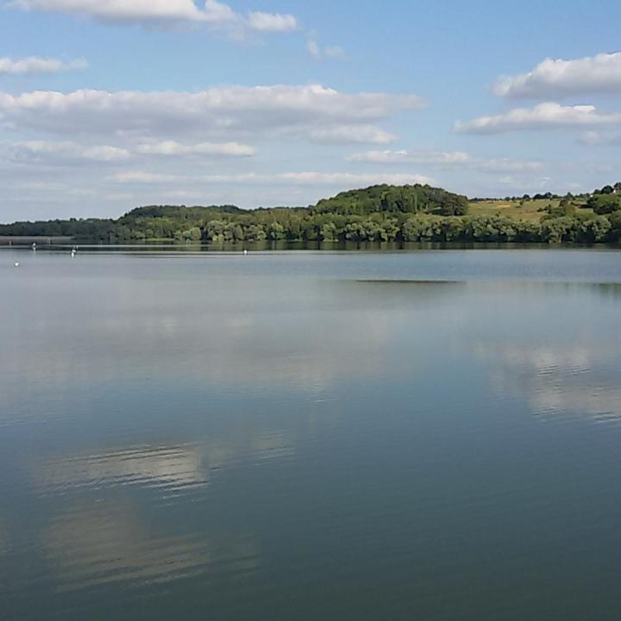
Jogging in Rançonnières offers a diverse landscape of open fields, small woodlands, and quiet country lanes. You'll experience a mix of agricultural land and natural areas, with routes often following well-maintained paths and roads. The Champigny Bay – Lac de Charmes loop, for example, features scenic views around Lac de Charmes.
Are there any circular running routes in the Rançonnières area?
Yes, many of the popular running routes in the region are circular loops, designed for convenience. Examples include the Running loop from Damrémont and the Running loop from Poiseul, allowing you to start and finish at the same point.
What are some interesting landmarks or attractions near the running routes?
While running, you might encounter charming rural settlements like Pouilly-en-Bassigny or Provenchères-sur-Meuse. The region is also close to natural features such as Along the Meuse River and the Source of the Meuse, offering points of interest to explore.
Is parking readily available for accessing the running trails?
In this rural region, parking is generally available in the villages where many routes begin, such as Damrémont, Neuilly-l'Évêque, or Poiseul. Look for designated parking areas or suitable roadside spots, always being mindful of local regulations and private property.
What do other runners say about the trails in Rançonnières?
The running routes in Rançonnières are highly rated by the komoot community, with an average score of 4.5 stars. Runners often praise the varied rural landscapes, the quiet country lanes, and the accessibility of the trails for different ability levels.
What is the best time of year to go running in Rançonnières?
Spring and autumn are generally ideal for running in Rançonnières, offering pleasant temperatures and beautiful scenery as the landscape changes. Summer can be warm, especially midday, so early morning or late afternoon runs are recommended. Winter runs are possible, but trails may be muddy or icy depending on conditions.
Are there any running routes with viewpoints in Rançonnières?
While Rançonnières is characterized by gentle hills rather than dramatic peaks, many routes offer open views across the agricultural land and countryside. The Champigny Bay – Lac de Charmes loop provides scenic vistas around the lake, which can be particularly rewarding.
How accessible are the running trails by public transport?
As Rançonnières is a rural area, public transport options directly to trailheads may be limited. It's often more convenient to access the starting points of these running routes by car. Check local transport schedules for the nearest towns if relying on public transport.
Most popular attractions around Rançonnières

Get inspired with the komoot mobile app


Explore more
Browse the best Running Trails & Routes in other regions.
