The best gravel rides around Cayres
3.6
(5)
91
riders
11
rides
Gravel biking around Cayres offers routes through a landscape characterized by river valleys, historic châteaux, and varied terrain. The region features significant elevation changes, with many routes including substantial climbs. Greenways and tunnels are also notable features, providing diverse riding experiences.
Best gravel bike trails around Cayres
- The most popular gravel bike trail is Riou Tunnel - 1,268 m – Voie verte du Velay loop from Goudet, a 39.9 miles (64.3 km) trail that takes about 3 hours 59…
Last updated: July 5, 2026
4.5
(2)
44
riders
58.8km
03:33
680m
680m
Hard gravel ride. Very good fitness required. Mostly paved surfaces. Suitable for all skill levels.
6
riders
32.9km
02:31
700m
700m
Hard gravel ride. Very good fitness required. Mostly paved surfaces. Suitable for all skill levels.

Sign up for free
1.0
(1)
13
riders
26.6km
01:37
220m
220m
Moderate gravel ride. Good fitness required. Mostly paved surfaces. Suitable for all skill levels.
6
riders
31.6km
02:24
690m
690m
Hard gravel ride. Very good fitness required. Mostly paved surfaces. Suitable for all skill levels.
5
riders
92.3km
06:13
1,700m
1,700m
Hard gravel ride. Very good fitness required. Mostly paved surfaces. Suitable for all skill levels.
Get access to more routes and recommendations from other explorers.
Sign up for free
Already have an account?
Our route recommendations are based on thousands of hikes, rides, and runs completed by other people on komoot.
Start today with a free account
Your next adventure awaits.
Login or Signup
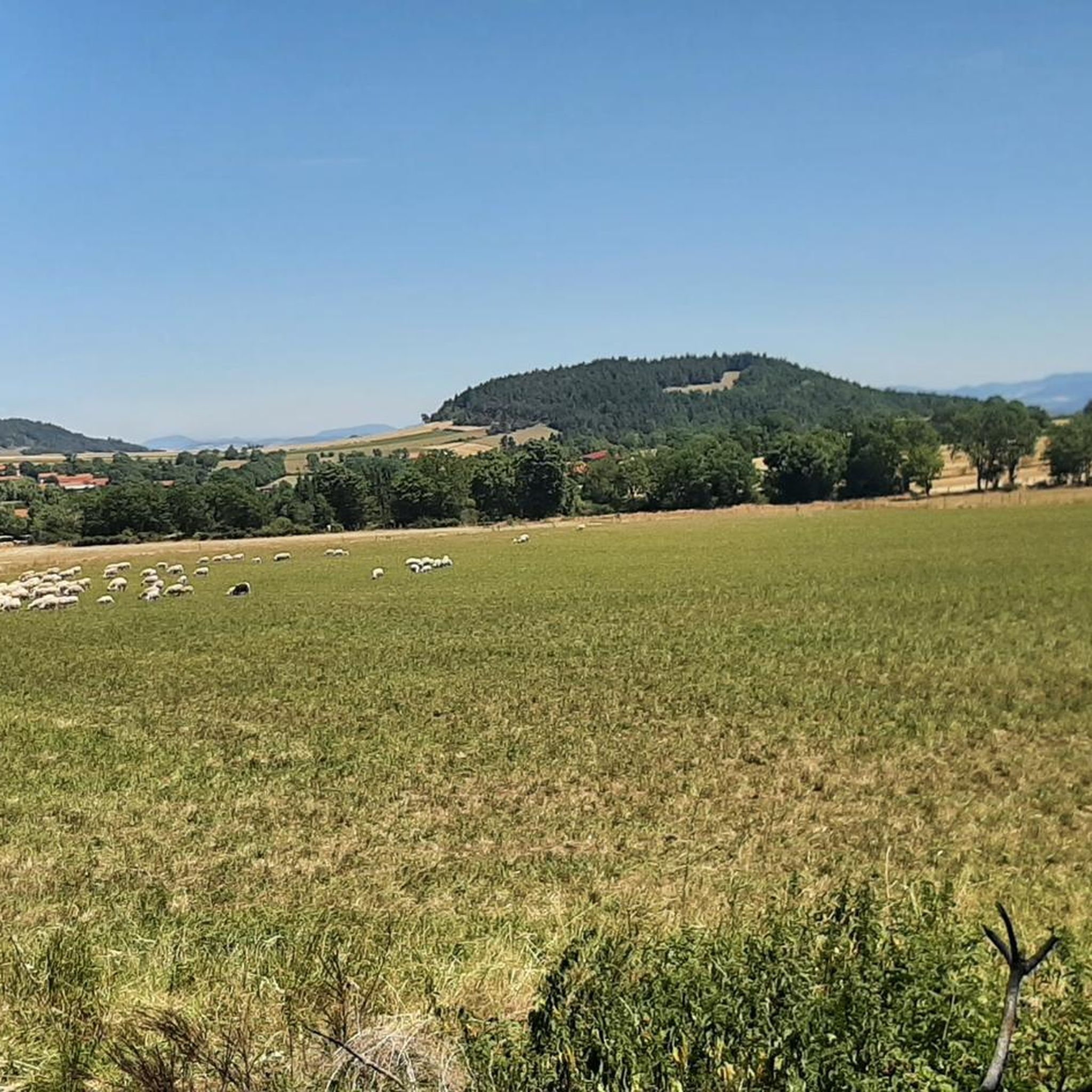
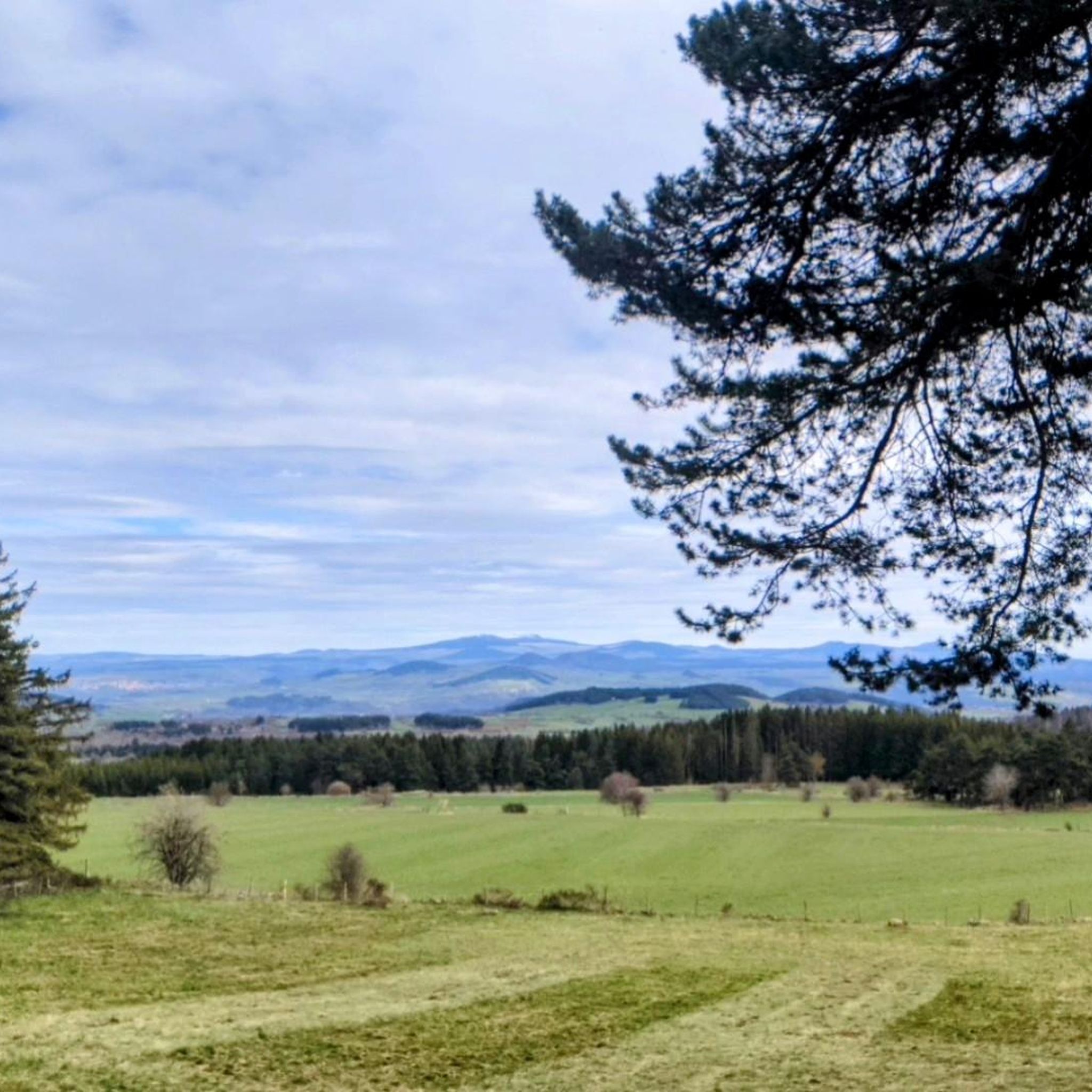
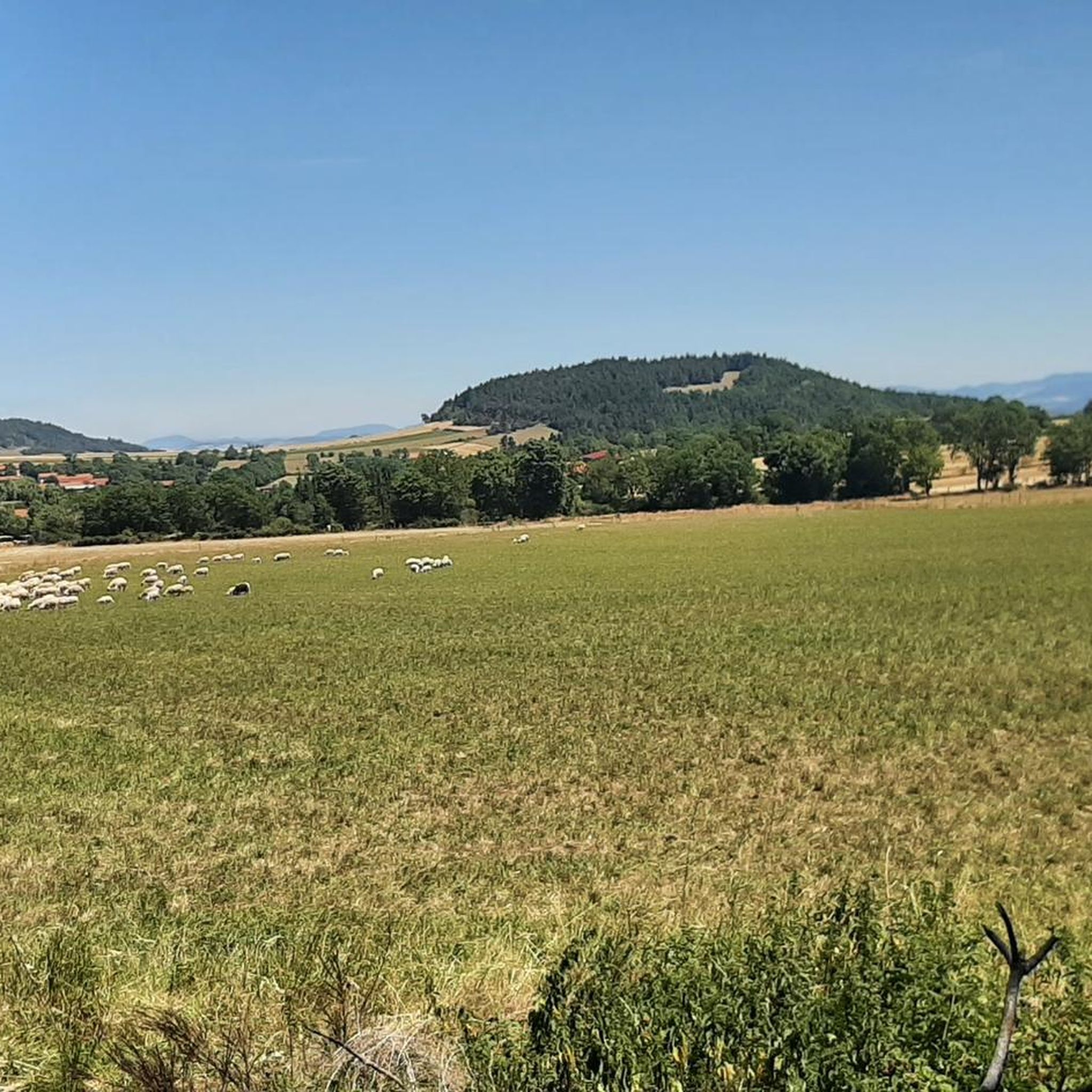
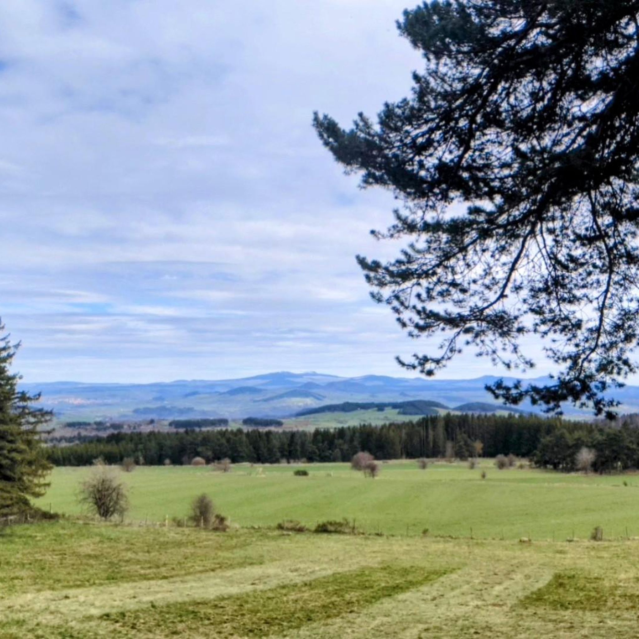
Tips from the Community

Sublime view over the valley
0
0

This stone bridge, once an important crossing, is now partly collapsed, but its still visible arches offer a fascinating spectacle. Walking around the ruins, one can admire the tranquil beauty of the river flowing below, surrounded by lush vegetation.
1
0

As its name suggests, this hamlet attached to the town of Alleyras is distinguished by its pretty bridge which overlooks the Allier.
1
0
Near Alleyras, the road overlooks the Allier to offer a superb view of the river and its valley.
0
0

Frequently Asked Questions
What is the typical difficulty level of gravel bike trails in Cayres?
Gravel biking around Cayres is generally challenging. Out of 14 available routes, 12 are rated as difficult, with the remaining 2 being moderate. There are no easy routes listed, indicating that most trails involve significant climbs and varied terrain.
Are there any family-friendly gravel biking options in Cayres?
While most routes in Cayres are rated as difficult, making them less suitable for young families or beginners, the region does feature greenways. These paths often offer a smoother, more accessible riding experience. For example, the Riou Tunnel - 1,268 m – Voie verte du Velay loop from Goudet incorporates a greenway section, though the overall route is still considered difficult due to its length and elevation.
What kind of natural landmarks or attractions can I expect to see along the gravel bike trails?
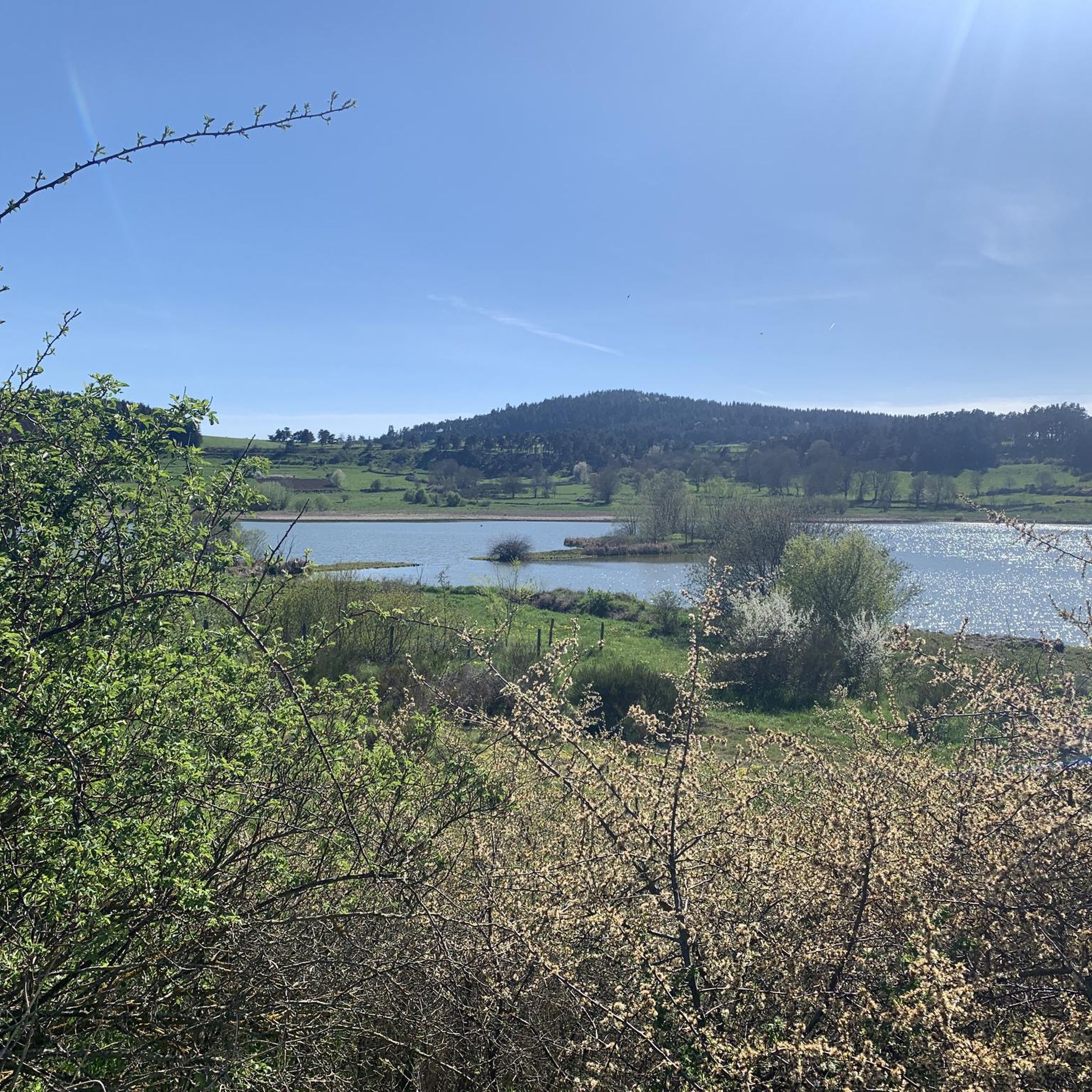
The gravel bike trails in Cayres often lead through scenic areas featuring diverse natural landmarks. You might encounter the volcanic Lake Bouchet, the impressive Beaume Waterfall, or unique geological formations like the Passage Under the Basalt Flow and The Needles of the Gorges de l’Allier.
Are there any historical sites or points of interest along the routes?
Yes, many gravel routes in Cayres pass by historical sites. For instance, the Rocky Outcrop on the Loire – Château de Beaufort loop from Chadron explores river features and historical sites, including châteaux. Other routes may lead you near settlements like Saint-Privat-d'Allier or religious buildings such as Saint Christopher's Church and Chapelle Saint-Roch.
What is the best time of year for gravel biking in Cayres?
The region's landscape, characterized by river valleys and significant elevation changes, is generally best enjoyed from spring through autumn. During these seasons, the weather is typically more favorable, and the natural scenery is at its most vibrant. Winter conditions can be challenging due to cold temperatures and potential snow or ice, especially on higher elevations and less maintained paths.
Are there any circular gravel bike routes available in Cayres?
Yes, many of the gravel bike routes in Cayres are designed as loops, allowing you to start and finish at the same point. Examples include the Riou Tunnel - 1,268 m – Voie verte du Velay loop from Goudet, the Rocky Outcrop on the Loire – Château de Beaufort loop from Chadron, and the Lake Bouchet – Château d'Arlempdes loop from Arlempdes.
How long are the gravel bike trails around Cayres?
The gravel bike trails in Cayres vary significantly in length. You can find routes ranging from approximately 30 kilometers (19 miles) to over 90 kilometers (56 miles). For example, the Rocky Outcrop on the Loire – Château de Beaufort loop from Goudet is about 31.6 km, while the Riou Tunnel - 1,268 m – Saint-Privat-d'Allier loop from Bains extends to 90.8 km.
What do other gravel bikers enjoy most about the trails in Cayres?
The gravel biking experience in Cayres is highly rated by the komoot community, with an average score of 4.75 stars from over 4 reviews. Riders often praise the varied terrain, the presence of historic châteaux, and the unique features like the long tunnels and greenways that offer diverse riding experiences.
Are there any routes that feature tunnels or greenways?
Yes, the region is known for incorporating these features into its routes. The Riou Tunnel - 1,268 m – Voie verte du Velay loop from Goudet, for instance, prominently features a long tunnel and follows a greenway. Another route, the Riou Tunnel - 1,268 m – Saint-Privat-d'Allier loop from Bains, also includes the Riou Tunnel.
What kind of terrain can I expect on the gravel bike trails in Cayres?
The terrain around Cayres is quite varied, characterized by river valleys, rolling hills, and significant elevation changes. You'll encounter a mix of surfaces typical for gravel biking, often including unpaved roads, forest paths, and sections of greenways. The routes are generally challenging, reflecting the region's diverse landscape.
How many gravel bike trails are available in the Cayres region?
There are 14 gravel bike trails available for exploration in the Cayres region, offering a range of challenging routes through its distinctive landscape.
Most popular attractions around Cayres

Get inspired with the komoot mobile app


Explore more
Browse the best Gravel rides in other regions.
