The best gravel rides around Counozouls
5.0
(5)
59
riders
4
rides
Gravel biking around Counozouls offers varied terrain, characterized by its mountainous landscape, dense forests, and the presence of lakes and rivers. The region features numerous cycle paths and mountain passes, providing diverse elevation changes suitable for gravel riding. Trails often traverse through valleys and ascend to viewpoints, showcasing the natural environment.
Best gravel bike trails around Counozouls
- The most popular gravel bike trail is Lake Matemale – Tower of the Creu loop from Puyvalador, a 20.3 miles (32.6 km)…
Last updated: November 4, 2026
5.0
(4)
34
riders
32.7km
02:13
340m
340m
Moderate gravel ride. Good fitness required. Mostly paved surfaces.
13
riders
56.9km
03:58
1,210m
1,210m
Hard gravel ride. Very good fitness required. Mostly paved surfaces.

6
riders
32.3km
02:40
1,000m
1,000m
Hard gravel ride. Very good fitness required. Mostly paved surfaces.
4
riders
Hard gravel ride. Very good fitness required. Mostly paved surfaces.
5.0
(1)
2
riders
18.9km
01:34
380m
380m
Moderate gravel ride. Good fitness required. Mostly paved surfaces.
Our route recommendations are based on thousands of hikes, rides, and runs completed by other people on komoot.
Start today with a free account
Your next adventure awaits.
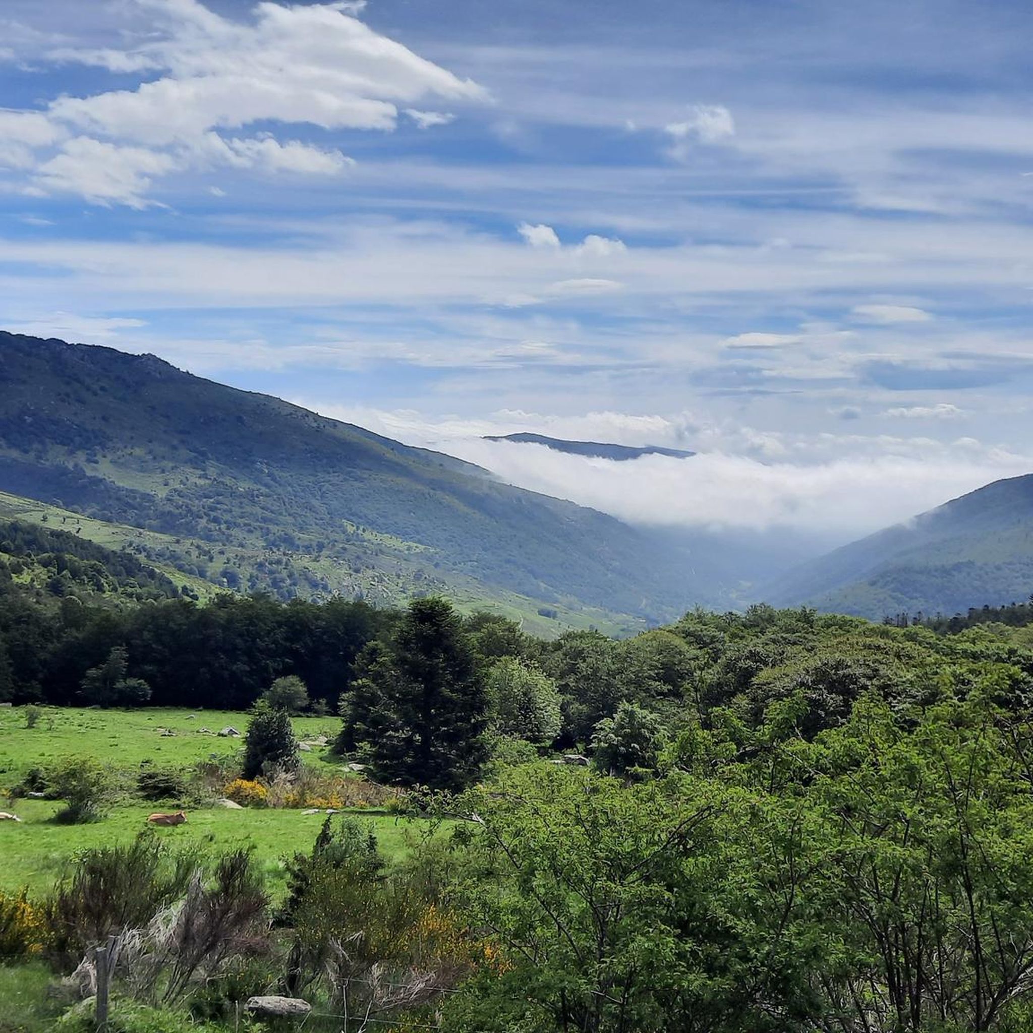
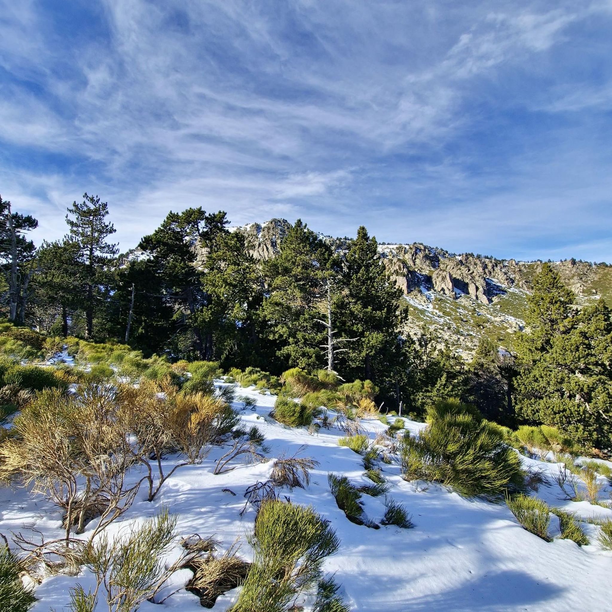
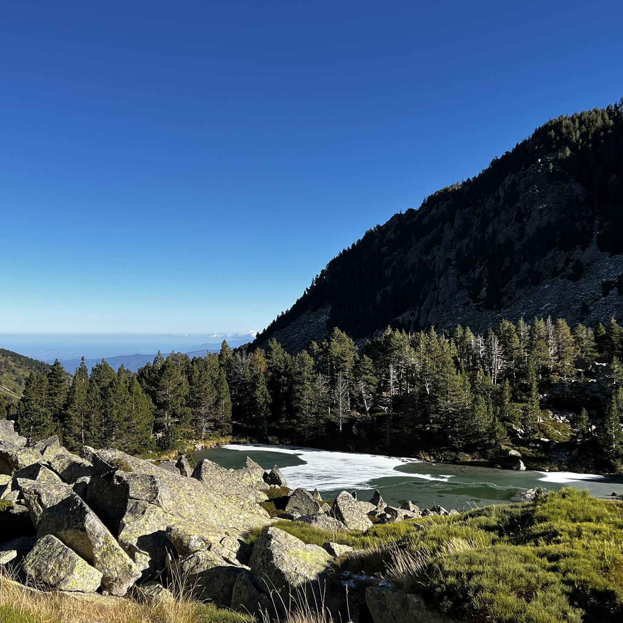
Tips from the Community

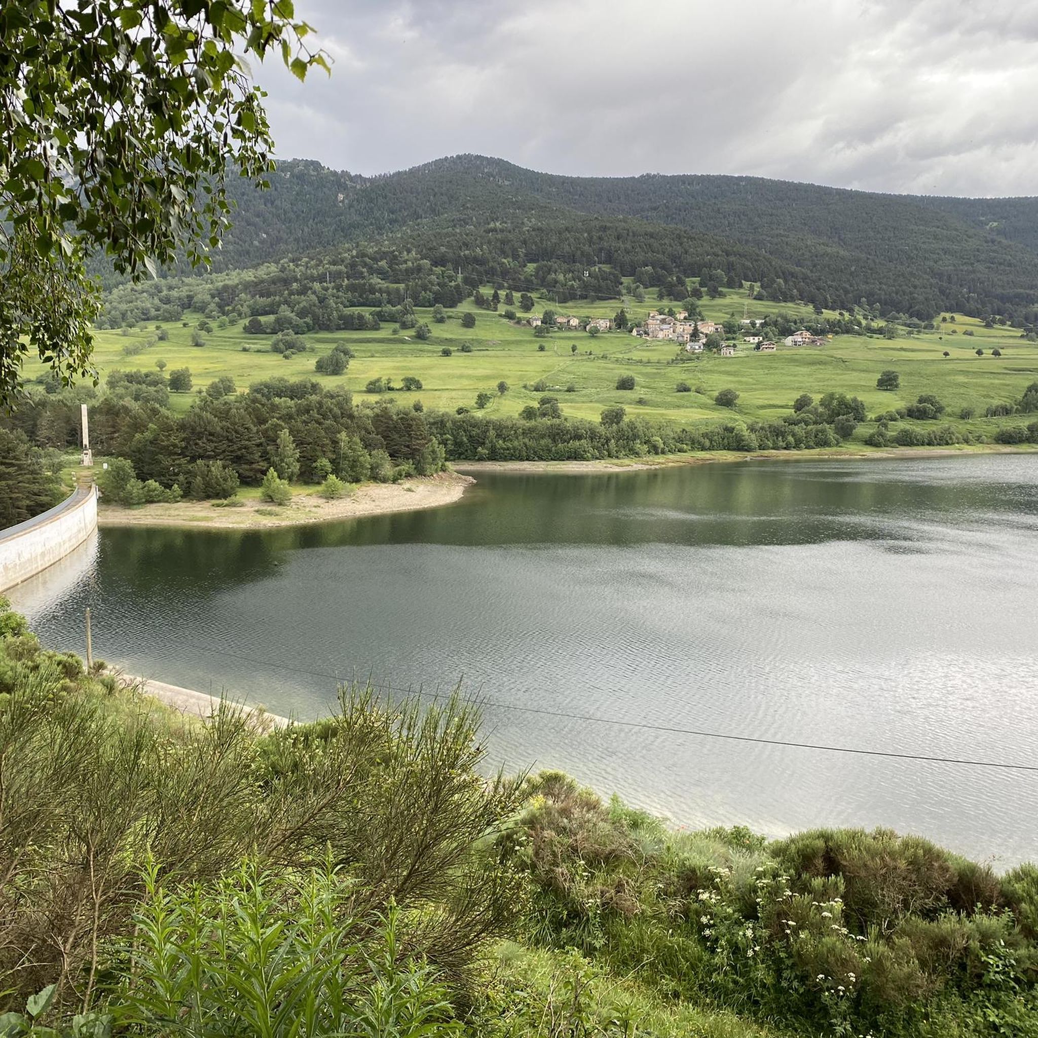
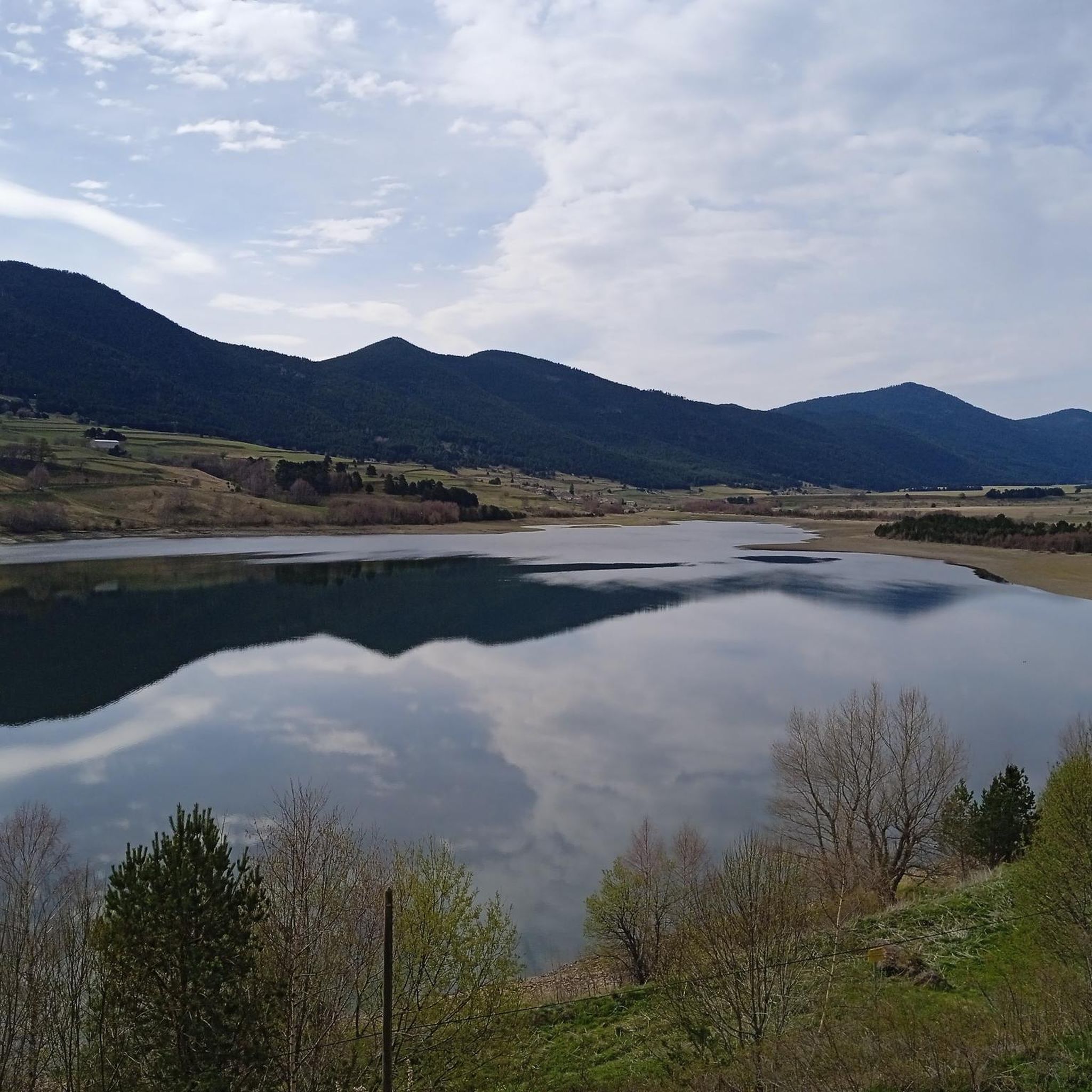
The Matemale lake is located in the middle of the Capcir plateau. The color of its waters captures the attention and creates a desire: to get closer and perhaps take a dip. The lake is developed, and a equipped leisure base opens onto its shores. An ideal stopover.
0
0
The Puyvalador dam is 160 meters long and 39 meters high. This concrete structure is used to regulate the waters of the Aude river to produce electricity. From the dam, the view is exceptional.
0
0

Lake Matemale with its beautiful beaches is located at an altitude of 1500 metres and therefore the water is between 19 and 23°.
1
1


From Axat, it's a long climb, 18km. It's quite beautiful down in the gorges, then a few kilometers of fairly monotonous woods. Arriving on the plateau, it clears up but it's rural. The impressive view is worth it when you reach the pass. Going down there must be a blast, the tarmac is good, it's quite wide and there's little traffic. I went down via Escouloubre: the tarmac is bad, gravel, but the forest is enchanting! Why not go the other way, then, up via Escouloubre and down via Bousquet / Roquefort etc.?
1
0

Small village of Capcir which keeps its old-world charm
0
0

Welcome water point on the Soulan, sufficient flow, with quick access to the village center.
0
0
Frequently Asked Questions
What kind of terrain can I expect on gravel bike trails around Counozouls?
The region around Counozouls is characterized by its mountainous landscape, dense forests, and the presence of lakes and rivers. You'll find numerous cycle paths and mountain passes, offering diverse elevation changes. Trails often traverse through valleys and ascend to scenic viewpoints.
Are there gravel bike trails suitable for beginners in Counozouls?
While many routes in Counozouls are rated moderate to difficult, there are options that can be approached by beginners. For instance, the Cascade du Galbe – Réal loop from Réal is a moderate 18.8 km route with manageable elevation, offering a good introduction to gravel biking in the area.
What are some longer, more challenging gravel bike routes in the area?
For experienced riders seeking a challenge, the Cycle path along the D118 – Mijanès loop from Formiguères is a difficult 56.9 km route with significant elevation gain. Another demanding option is the Camping Madres Pyrénées – Col du Garavel (1256 m) loop from Roquefort-de-Sault, which covers 32.3 km through mountainous terrain.
Are there any gravel bike trails that are circular loops?
Yes, many of the gravel bike routes in Counozouls are designed as loops. Examples include the popular Lake Matemale – Tower of the Creu loop from Puyvalador, which offers varied terrain around the lake, and the challenging Roque Jalère Pass – Mosset — Listed Village loop from Sainte-Colombe-sur-Guette.
What kind of scenic viewpoints or landmarks can I expect to see on a gravel bike ride?
Counozouls offers numerous scenic spots. You might encounter mountain passes like Col de la Creu or Col du Garavel (1256 m). The Roque Jalère Pass – Mosset — Listed Village loop from Sainte-Colombe-sur-Guette passes through the charming Mosset — Listed Village. For natural beauty, consider routes near Gorges du Rébenty or Gorges de Saint-Georges.
What do other gravel bikers say about the trails in Counozouls?
The gravel biking routes in Counozouls are highly rated by the komoot community, with an average score of 5.0 stars from over 2 reviews. More than 50 gravel bikers have used komoot to explore the varied terrain, often praising the diverse landscapes and challenging ascents.
Are there any routes that pass by lakes or rivers?
Yes, the region is known for its lakes and rivers. The Lake Matemale – Tower of the Creu loop from Puyvalador is a prime example, offering varied terrain around Lake Matemale. You might also find routes that pass near Lake Nohèdes (Gorg Estelat).
How long does it typically take to complete a gravel bike trail in Counozouls?
The duration varies significantly depending on the route's length and difficulty. A moderate route like the Lake Matemale – Tower of the Creu loop from Puyvalador (32.6 km) typically takes around 2 hours and 12 minutes. More challenging and longer routes, such as the 103.6 km Roque Jalère Pass – Mosset — Listed Village loop from Sainte-Colombe-sur-Guette, can take upwards of 9 hours.
What is the best season for gravel biking in Counozouls?
Given the mountainous terrain and potential for snow at higher elevations, late spring through early autumn (May to October) generally offers the most favorable conditions for gravel biking in Counozouls. Always check local weather forecasts, especially for mountain passes, before heading out.
Are there any hidden gem gravel trails in Counozouls that are less frequented?
While specific 'hidden gems' are often discovered by local exploration, routes that venture deeper into the forested areas or less populated valleys might offer a more secluded experience. The region's extensive network means there are always new paths to explore beyond the most popular ones, often leading to quiet natural monuments like Refuge d'Oller or viewpoints like Rousillon Peak.
How many gravel bike trails are available in the Counozouls area?
There are currently 7 gravel bike routes documented in the Counozouls area on komoot, offering a range of experiences from moderate to difficult. This includes 3 moderate and 4 difficult routes, ensuring options for various skill levels.
Most popular routes around Counozouls
Most popular attractions around Counozouls

Get inspired with the komoot mobile app


Explore more
Browse the best Gravel rides in other regions.
