The best gravel rides around Coisevaux
4.0
(3)
31
riders
6
rides
Gravel biking around Coisevaux offers access to the diverse landscapes of the Bourgogne-Franche-Comté region, including the Haute-Saône department. The area features varied terrain, from undulating hills and wooded countryside to extensive forest tracks, particularly in the nearby Vosges Mountains. These tracks, originally developed for forestry, provide suitable surfaces for gravel riding, often leading through forest-covered, dome-shaped mountains. The region's natural features include ancient forests and a network of cycling paths.
Best gravel bike trails around Coisevaux
- The most popular gravel bike trail is Four Ends Boundary Stone – Super directional cycle path! loop from Montenois, a 27.4 miles (44.0 km) trail that takes 2 hours 49 minutes to complete. This difficult route features significant elevation gain across varied terrain.
- Another top favourite among local gravel bikers is Lac du Malsaucy – Véronne Pond loop from Châlonvillars, a difficult 24.8 miles (39.9 km) path. This route navigates through wooded areas and past natural water features.
- Local gravel bikers also love the Duck on the Canal – Statue of the Virgin Mary loop from Châlonvillars, a 13.0 miles (20.9 km) trail leading through a mix of forest and open landscapes, often completed in about 1 hour 15 minutes.
- Gravel biking around Coisevaux is defined by extensive forest tracks, undulating hills, and diverse woodlands. The network offers options for both moderate and difficult ability levels.
- The routes in Coisevaux are highly rated by the komoot community with an average score of 5.0 stars from over 1 review. More than 7 gravel bikers have used komoot to explore Coisevaux's varied terrain.
Last updated: July 4, 2026
4.0
(1)
7
riders
50.3km
02:52
410m
410m
Moderate gravel ride. Good fitness required. Mostly paved surfaces. Suitable for all skill levels.
8
riders
58.3km
03:57
990m
990m
Hard gravel ride. Very good fitness required. Mostly paved surfaces. Suitable for all skill levels.

Sign up for free
3.0
(1)
3
riders
27.1km
01:39
290m
290m
Moderate gravel ride. Good fitness required. Mostly paved surfaces. Suitable for all skill levels.
2
riders
56.8km
03:57
760m
760m
Hard gravel ride. Very good fitness required. You may need to push your bike for some segments of this route.
2
riders
62.1km
04:17
740m
740m
Hard gravel ride. Very good fitness required. Mostly paved surfaces. Suitable for all skill levels.
Our route recommendations are based on thousands of hikes, rides, and runs completed by other people on komoot.
Start today with a free account
Your next adventure awaits.
Login or Signup
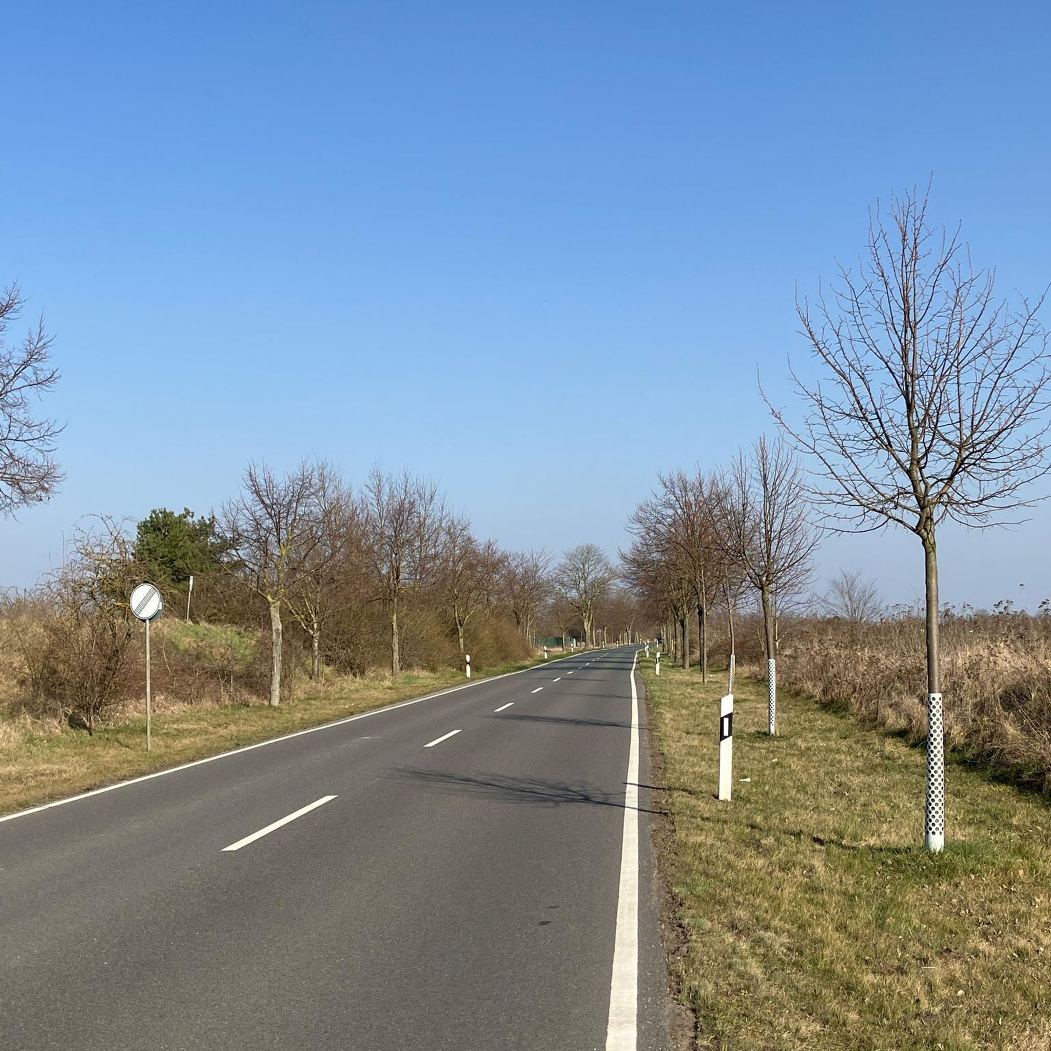
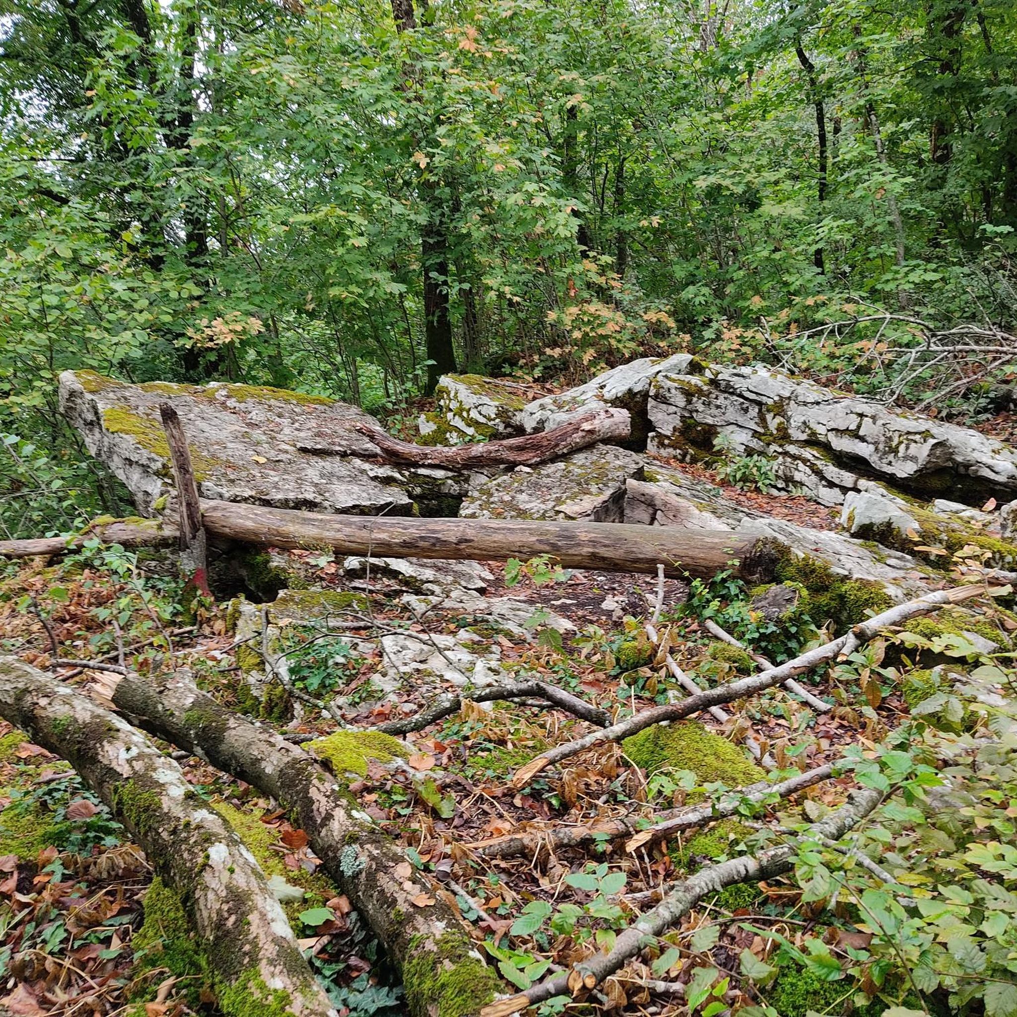
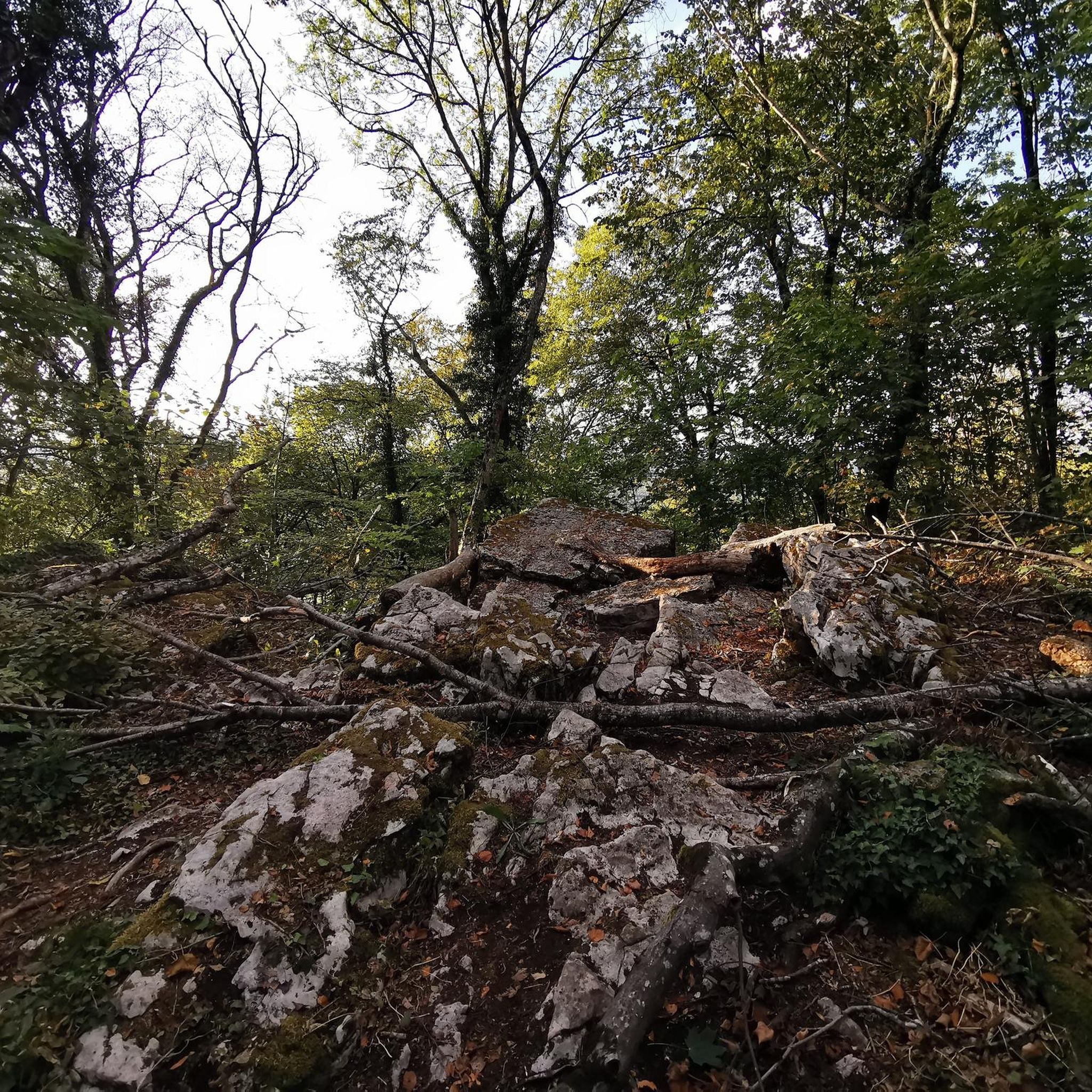
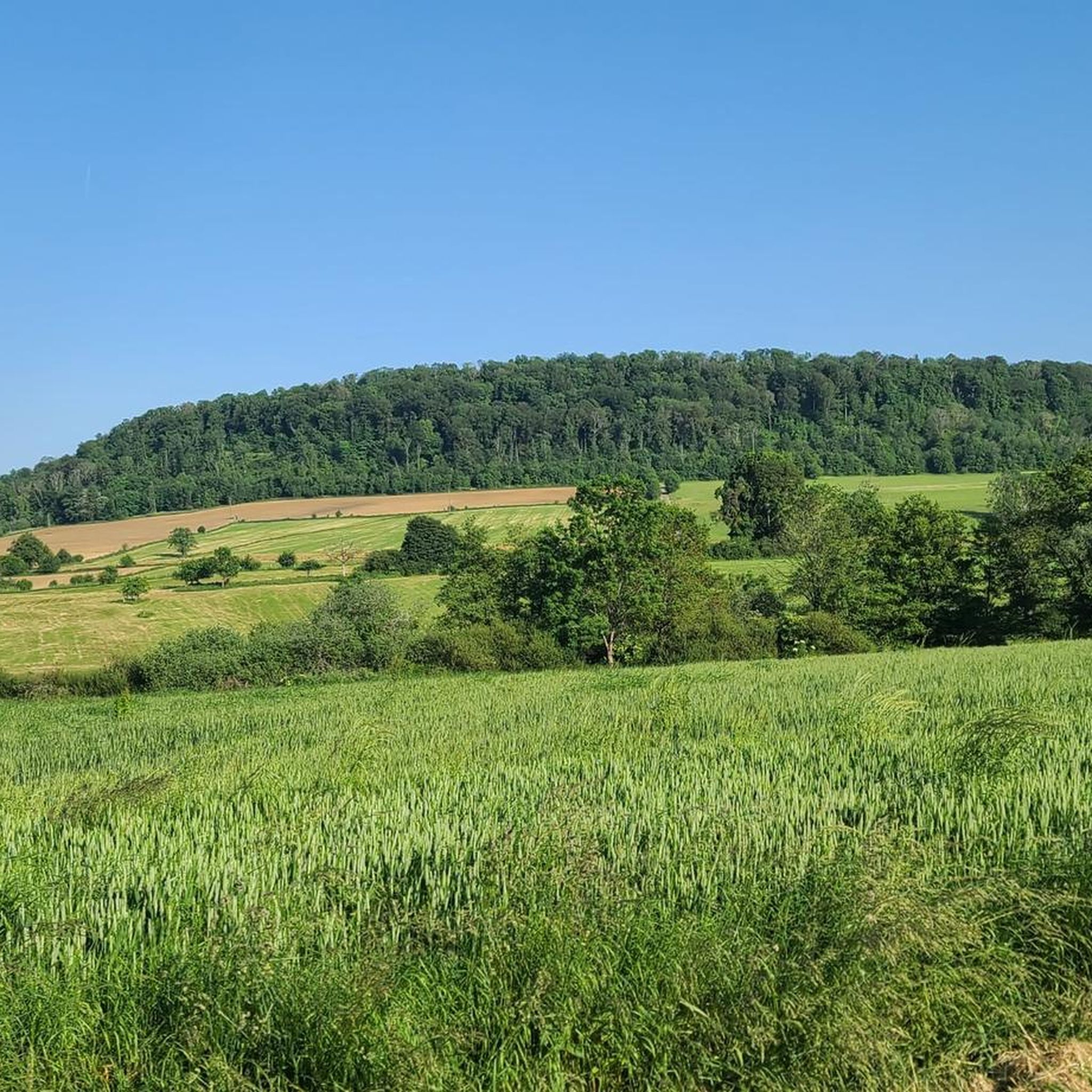
Tips from the Community

Very beautiful cave to see at the bend in the main path near Villers sous Saulnot
0
0

very beautiful route!!! drive slowly!! watch out for pedestrians
0
0

Beautiful sculpture and coat of arms of Belfort, below the fortress.
0
0


Memorial to the 8 victims of the German Gestapo, shot in 1944 during the Second World War, and buried here. The memorial stone and information board are on a beautiful shaded dirt road in the forest.
3
1

Well done for sharing this knowledge and thank you for taking the time to share it with us.
0
0
Frequently Asked Questions
What kind of terrain can I expect on gravel bike trails around Coisevaux?
The gravel bike trails around Coisevaux offer a diverse mix of terrain. You'll find extensive forest tracks, particularly as you head towards the nearby Vosges Mountains, which are ideal for gravel riding. The region also features undulating hills and varied woodlands, providing a dynamic and engaging experience. Routes often navigate through wooded areas and past natural water features.
Are there gravel bike routes suitable for different skill levels in Coisevaux?
Yes, the gravel biking network around Coisevaux caters to various skill levels. While the area is known for its challenging rides, such as the Four Ends Boundary Stone – Super directional cycle path! loop from Montenois which features significant elevation gain, there are also moderate options like the Malsaucy cycling link – Lac du Malsaucy loop from Échavanne. Overall, you'll find a mix of moderate and difficult ability levels.
What natural features or landmarks can I see along the gravel bike trails near Coisevaux?
The region around Coisevaux is rich in natural beauty and historical sites. You might encounter ancient forests and diverse woodlands. For specific landmarks, consider exploring highlights like the Mont Vaudois Fort or the Dolmen de Brevilliers. The area also features several lakes and ponds, such as Réchal Pond and Bassin de Champagney, which are often part of the routes.
Are there any circular gravel bike routes available around Coisevaux?
Many of the gravel bike routes around Coisevaux are designed as loops, offering convenient circular journeys. For instance, the Lac du Malsaucy – Véronne Pond loop from Châlonvillars is a popular circular route that takes you through wooded areas and past natural water features. Another option is the Duck on the Canal – WWII - memory monument loop from Châlonvillars.
When is the best time of year for gravel biking in Coisevaux?
The Bourgogne-Franche-Comté region, including Coisevaux, generally offers good conditions for gravel biking from spring through autumn. The extensive forest tracks and diverse landscapes are particularly enjoyable when the weather is mild. While specific weather patterns vary, avoiding the peak heat of summer or the colder, potentially snowy conditions of winter in higher elevations like the Vosges would be advisable for optimal riding.
Can I bring my dog on the gravel bike trails near Coisevaux?
The region's extensive forest tracks and natural areas are generally welcoming for dogs, especially in the less populated sections. However, it's always recommended to keep your dog under control, especially when encountering wildlife or other trail users. Check local regulations for specific nature reserves or protected areas you might pass through.
Are there family-friendly gravel bike trails around Coisevaux?
While some routes around Coisevaux are rated as difficult, there are moderate options that might be more suitable for families, depending on their experience level. The region's commitment to cycling tourism, with numerous cycling paths, suggests that flatter, less challenging sections can be found. Look for routes with lower elevation gain and shorter distances if riding with children.
Where can I park my car when gravel biking in Coisevaux?
While specific parking areas for cyclists in Coisevaux are not detailed, towns and villages in the Bourgogne-Franche-Comté region typically offer public parking facilities. For routes starting from specific locations like Montenois or Châlonvillars, you can usually find parking in or near the village centers. It's advisable to check local signage upon arrival.
What do other gravel bikers enjoy most about the trails in Coisevaux?
The gravel bike trails around Coisevaux are highly rated by the komoot community, with an average score of 3.75 stars from over 4 reviews. Riders often praise the extensive forest tracks, undulating hills, and diverse woodlands that define the area. The variety of terrain and the natural beauty of the region are frequently highlighted as key attractions.
Are there cafes or places to eat near the gravel bike trails in Coisevaux?
Coisevaux is situated near several towns and villages where you can find amenities. Montbéliard, about 10km away, and Belfort, 14km away, offer a wider range of cafes, restaurants, and shops. Smaller villages along the routes may also have local establishments. It's a good idea to plan your stops in advance, especially on longer rides.
How many gravel bike trails are there around Coisevaux?
There are over 5 gravel bike trails documented around Coisevaux, offering a good selection for exploration. These routes vary in length and difficulty, providing options for different preferences and fitness levels.
What are the typical distances and durations for gravel bike routes in this area?
The gravel bike routes around Coisevaux vary in length and duration. For example, routes can range from approximately 21 kilometers, taking about 1 hour 30 minutes, to longer rides of around 70 kilometers, which might take about 3 hours 30 minutes to complete. This variety allows you to choose a route that fits your available time and desired challenge.
Most popular attractions around Coisevaux

Get inspired with the komoot mobile app


Explore more
Browse the best Gravel rides in other regions.
