The best walks and hikes around Saint-Julien-Sur-Cher
4.1
(21)
102
hikers
19
hikes
Hiking around Saint-Julien-Sur-Cher offers diverse landscapes, from agricultural plains to woodlands and riparian areas along the Cher River. The commune features a varied topography, with elevations ranging from 82 to 152 meters, providing engaging terrain for walkers. This region is part of the Natura 2000 protected zone, highlighting its ecological importance with diverse habitats including cultivated plains, grasslands, and wetlands. These natural features contribute to a network of local trails suitable for various outdoor activities.
Best hiking trails around Saint-Julien-sur-Cher
…Last updated: May 23, 2026
4.3
(4)
18
hikers
6.56km
01:40
10m
10m
Easy hike. Great for any fitness level. Easily-accessible paths. Suitable for all skill levels.
4.6
(5)
15
hikers
10.8km
02:48
70m
70m
Moderate hike. Good fitness required. Easily-accessible paths. Suitable for all skill levels.

Sign up for free
4.3
(3)
13
hikers
6.60km
01:40
10m
10m
Easy hike. Great for any fitness level. Easily-accessible paths. Suitable for all skill levels.
2.0
(1)
14
hikers
12.6km
03:14
50m
50m
Moderate hike. Good fitness required. Easily-accessible paths. Suitable for all skill levels.
4.0
(2)
4
hikers
8.04km
02:03
30m
30m
Moderate hike. Good fitness required. Easily-accessible paths. Suitable for all skill levels.
Get access to more routes and recommendations from other explorers.
Sign up for free
Already have an account?
Our route recommendations are based on thousands of hikes, rides, and runs completed by other people on komoot.
Start today with a free account
Your next adventure awaits.
Login or Signup



Tips from the Community

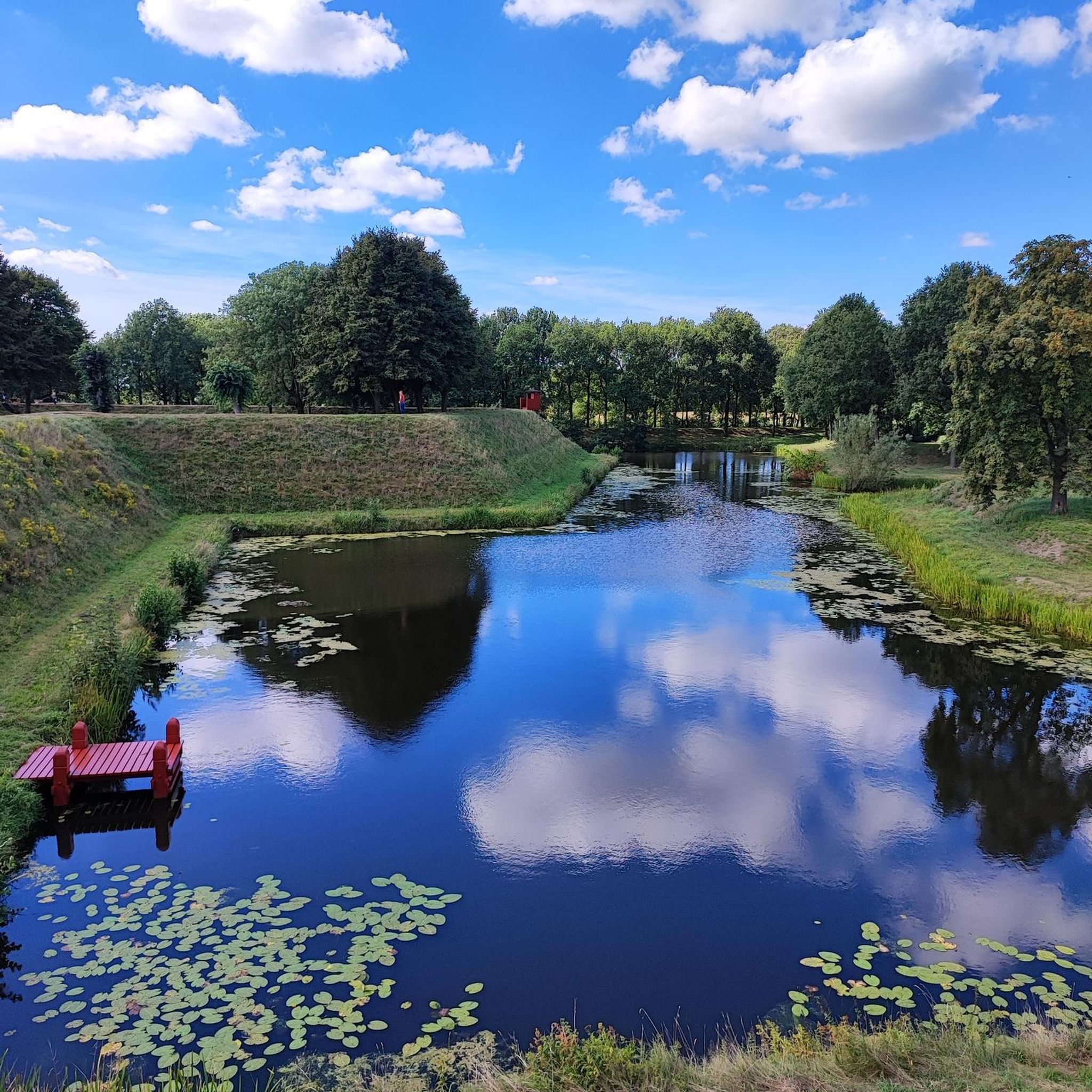
Pretty medieval village worth the detour!
0
0

Very beautiful little village
0
0


Frequently Asked Questions
How many hiking trails are available around Saint-Julien-sur-Cher?
There are 17 hiking routes available around Saint-Julien-sur-Cher. These include 7 easy, 8 moderate, and 2 difficult trails, offering options for various fitness levels.
What kind of landscapes can I expect to see while hiking in Saint-Julien-sur-Cher?
Hiking around Saint-Julien-sur-Cher offers a diverse mix of landscapes. You'll encounter expansive agricultural plains, tranquil pine woods, and picturesque riparian areas along the Cher River. The region also features a varied topography with gentle elevation changes, characteristic of the Champagne Berrichonne and the Cher Valley.
Are there any circular hiking routes in the area?
Yes, many of the trails around Saint-Julien-sur-Cher are circular. For example, you can explore the natural surroundings of the Étang des Landes on the Étang des Landes loop from Marmagne or the Étang des Landes loop from Longueville. Another popular option is the Hiking loop from La Ville, which takes you through varied rural landscapes.
What makes Saint-Julien-sur-Cher a special place for nature lovers and birdwatchers?
Saint-Julien-sur-Cher is part of the Natura 2000 protected zone, 'Plateau de Chabris / La Chapelle-Montmartin', which is ecologically significant. This area is known for its rich birdlife, including rare species like the Little Bustard, Stone-curlew, and Short-eared Owl. Its diverse habitats, comprising cultivated plains, grasslands, woodlands, and wetlands, make it an excellent spot for birdwatching and observing local flora and fauna.
Are there any easy hiking trails suitable for families or beginners?
Absolutely. There are 7 easy routes available. A good option for families or beginners is the Étang des Landes loop from Marmagne, which is 6.6 km long and explores the area around the Étang des Landes with minimal elevation changes.
What do other hikers say about the trails in Saint-Julien-sur-Cher?
The routes in Saint-Julien-sur-Cher are highly rated by the komoot community, with an average score of 3.9 stars from more than 15 reviews. Hikers often praise the varied terrain, from agricultural plains to woodlands and riverbanks, and the opportunities to experience the peaceful French countryside.
Are there any historical points of interest that can be explored on foot?
Yes, the region has historical elements. The ancient 'chemin de la Poste', a Roman road, presents a historical pathway that can still be explored on foot, offering a glimpse into the area's past.
Are there any trails that follow rivers or water features?
Yes, the Cher River and its tributaries drain the area, providing fertile valleys and riparian routes. Trails like 'Au fil de l'eau à Chabris' (in nearby Chabris) allow hikers to discover natural spaces along the Cher and Fouzon rivers, often passing by local mills.
What is the best time of year to go hiking in Saint-Julien-sur-Cher?
The varied landscapes of Saint-Julien-sur-Cher, with its plains, woodlands, and riverbanks, are enjoyable throughout much of the year. Spring and autumn offer pleasant temperatures and vibrant scenery, ideal for birdwatching and enjoying the changing colors. Summer is also suitable, especially for shaded woodland or riverside paths.
Are there longer, more challenging hikes available for experienced hikers?
Yes, for those seeking a more challenging experience, there are 2 difficult routes available. Additionally, moderate trails like the Romorantin Castle loop from Romorantin-Lanthenay, at 12.6 km, offer longer distances and varied terrain to explore.
Where can I find more information about the Natura 2000 protected zone in the area?
For detailed information regarding the Natura 2000 protected zone 'Plateau de Chabris / La Chapelle-Montmartin', you can consult official documents from the French government. Relevant information can be found on the Indre government website and the Loir-et-Cher government website.
Most popular routes around Saint-Julien-Sur-Cher

Get inspired with the komoot mobile app


Explore more
Browse the best Hikes in other regions.
