The best walks and hikes around Pruniers-En-Sologne
4.1
(31)
148
hikers
29
hikes
Hiking around Pruniers-En-Sologne offers diverse natural landscapes within the Sologne region of France. The area is characterized by numerous ponds and wetlands, such as the Étang d'Otefond and Étang des Landes, alongside extensive forests like the Bois de Marmagne. Interspersed meadows and plains provide varied terrain, while proximity to the Canal du Berry and the Cher river offers additional routes. The region features well-maintained trail networks suitable for various experience levels.
Best hiking trails around Pruniers-En-Sologne
- The most popular hiking…
Last updated: July 4, 2026
4.3
(4)
16
hikers
6.56km
01:40
10m
10m
Easy hike. Great for any fitness level. Easily-accessible paths. Suitable for all skill levels.
2.0
(1)
14
hikers
12.6km
03:14
50m
50m
Moderate hike. Good fitness required. Easily-accessible paths. Suitable for all skill levels.

Sign up for free
5.0
(3)
9
hikers
9.01km
02:17
20m
20m
Moderate hike. Good fitness required. Easily-accessible paths. Suitable for all skill levels.
3.0
(2)
10
hikers
22.0km
05:38
80m
80m
Hard hike. Very good fitness required. Easily-accessible paths. Suitable for all skill levels.
4
hikers
8.60km
02:12
30m
30m
Moderate hike. Good fitness required. Easily-accessible paths. Suitable for all skill levels.
Get access to more routes and recommendations from other explorers.
Sign up for free
Already have an account?
Our route recommendations are based on thousands of hikes, rides, and runs completed by other people on komoot.
Start today with a free account
Your next adventure awaits.
Login or Signup



Frequently Asked Questions
How many hiking trails are available around Pruniers-en-Sologne?
There are over 28 listed hiking trails directly around Pruniers-en-Sologne, offering a variety of experiences. The broader Sologne region boasts an impressive network of over 240 kilometers of walkable trails.
What kind of terrain can I expect on hikes in Pruniers-en-Sologne?
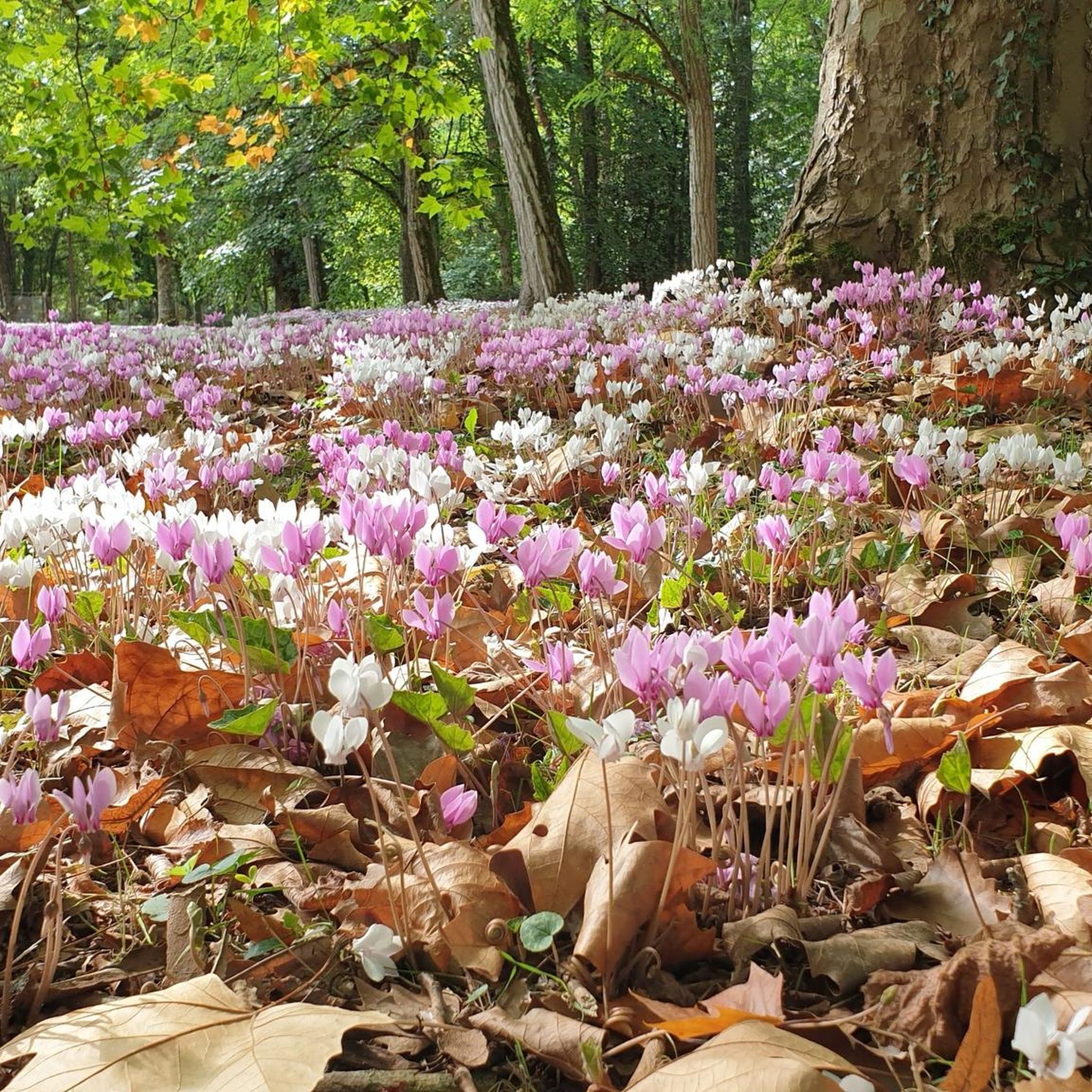
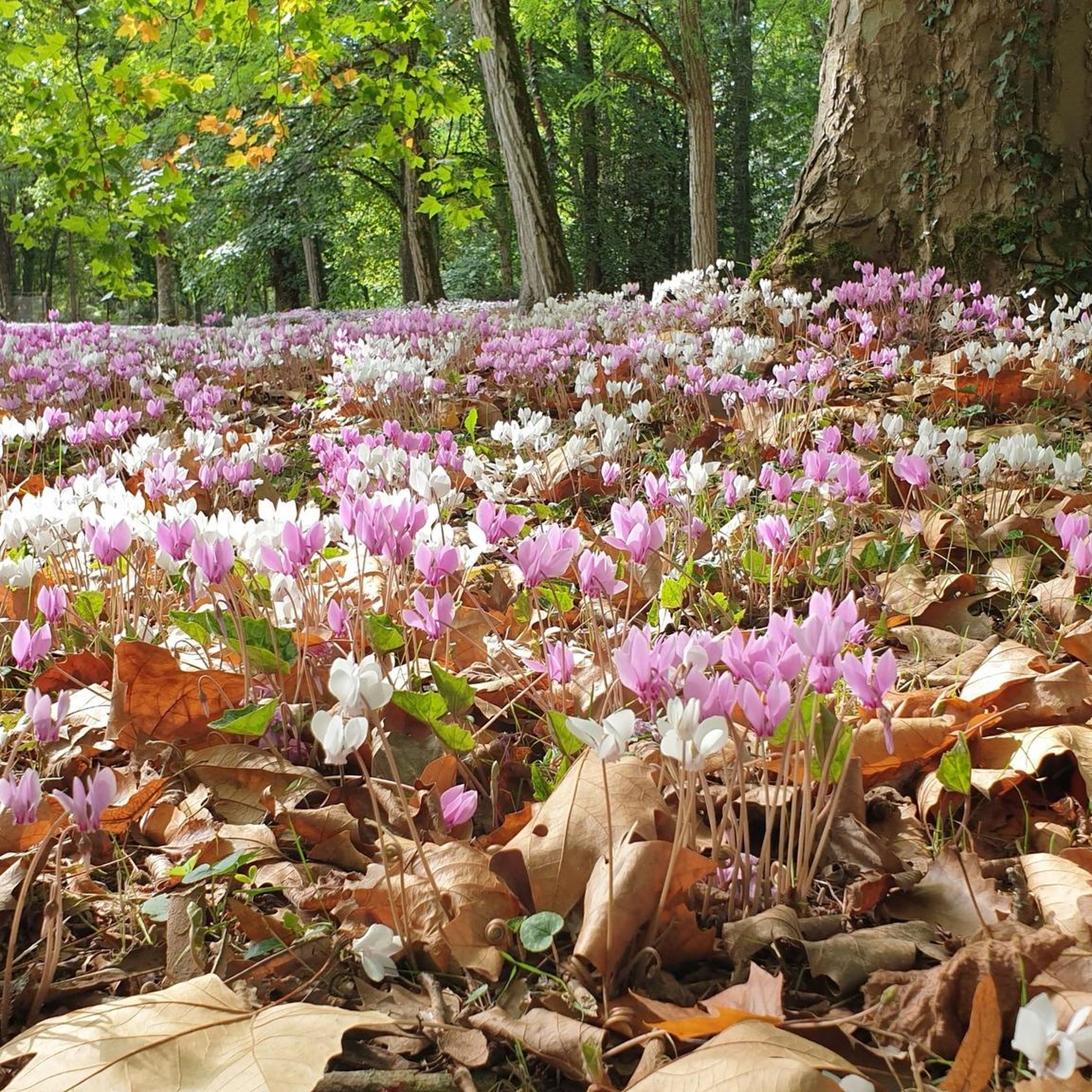
The hiking terrain around Pruniers-en-Sologne is diverse, characterized by numerous picturesque ponds and wetlands, extensive forests like the Bois de Marmagne, and open meadows and plains. You'll find serene, mostly flat paths suitable for enjoying the natural environment.
Are there any easy, family-friendly hikes in the area?
Yes, Pruniers-en-Sologne offers several easy routes suitable for families. For instance, the Étang des Landes loop from Marmagne is an easy 6.6 km trail that circles the Étang des Landes, providing pleasant views of the pond and woodlands. Another accessible option is the "Pond trail at Domaine du Chêne," which is specifically designed to be accessible to individuals with disabilities, featuring interpretive signs.
What are the best times of year to go hiking in Pruniers-en-Sologne?
The Sologne region offers distinct beauty throughout the year. Spring is ideal for appreciating the vibrant flora and fauna, while autumn showcases the deciduous forests in their full, colorful splendor. Even winter offers unique colors at dawn and dusk, making it a captivating time for hikers.
Are there any circular walks available?
Yes, many of the trails around Pruniers-en-Sologne are circular, allowing you to start and end at the same point. Examples include the Étang des Landes loop from Longueville and the Étang d'Otefond loop from Aux écuries de Romorantin, both offering scenic round trips.
What natural features can I expect to see on the trails?
Hikers can expect to encounter significant natural features such as the numerous ponds (like Étang d'Otefond, Étang des Landes, and Étang Bezard), dense Sologne forests, and open meadows. The region is also rich in biodiversity, offering opportunities for birdwatching and spotting wild animals like deer, wild boars, and hares.
Are there any longer or more challenging hikes?
While many trails are easy to moderate, there are options for longer excursions. For example, the Romorantin Castle loop from Romorantin-Lanthenay is a moderate 12.6 km trail that takes about 3 hours 14 minutes to complete, offering a more extended experience through the area.
What do other hikers say about the trails in Pruniers-en-Sologne?
The routes in Pruniers-en-Sologne are highly rated by the komoot community, with an average score of 4.1 stars from more than 20 reviews. Hikers often praise the tranquil natural environment, the well-maintained paths, and the opportunity to experience the diverse landscapes of Sologne.
Can I find trails near rivers or canals?
Yes, the proximity to the Canal du Berry and the Cher river provides opportunities for walks and cycling routes along waterways, adding another dimension to the hiking experience in the region.
Are there any cultural or historical landmarks to see while hiking?
Beyond its natural beauty, the region features a remarkable architectural heritage. You might encounter private brick castles nestled within the green scenery. The church in Pruniers-en-Sologne, rebuilt in the early 13th century, is also a local point of interest.
Where can I find more detailed information about hiking in the Sologne region?
For more comprehensive information on hiking trails and outdoor activities in the wider Sologne area, you can visit the official tourism websites such as Tourisme Portes de Sologne or Sologne Tourisme.
Most popular routes around Pruniers-En-Sologne

Get inspired with the komoot mobile app


Explore more
Browse the best Hikes in other regions.
