The best gravel rides around Aigneville
4.4
(14)
82
riders
5
rides
Gravel biking around Aigneville offers varied terrain within the Somme department of Hauts-de-France. The region features a mix of natural environments, including river valleys, coastal proximity, and extensive forests. Aigneville itself has an elevation ranging from 89 to 124 meters, providing undulating terrain suitable for gravel cycling. The broader Somme area includes coastal paths, river valleys, and woodlands like the Forêt de Crécy, which offer a network of unpaved roads and tracks.
Best gravel bike trails around Aigneville
- The most popular gravel bike trail is Cycle path along the Canal Somme – Kanal der Somme loop from Valines, a 54.1 miles (87.0 km) trail that takes 6 hours to complete. This difficult route follows the historic Canal Somme, offering scenic views along the waterway.
- Another top favourite among local gravel bikers is The Somme canalised – Around Long Lock loop from Cerisy-Buleux, a moderate 34.4 miles (55.3 km) path. This route explores the canalised Somme river, passing by Long Lock and through the surrounding countryside.
- Local gravel bikers also love the Wooden Bridge on Forest Trail – V1 Launch Site of Guerville loop from Longroy - Gamaches, a 22.7 miles (36.5 km) trail leading through forested areas, often completed in about 2 hours 51 minutes.
- Gravel biking around Aigneville is defined by river valleys, coastal proximity, and dense woodlands. The network offers options for different ability levels, from moderate paths to more challenging routes.
- The routes in Aigneville are highly rated by the komoot community with an average score of 4.3 stars from over 3 reviews. More than 30 gravel bikers have used komoot to explore Aigneville's varied terrain.
Last updated: July 3, 2026
4.4
(9)
56
riders
54.5km
03:16
230m
230m
Moderate gravel ride. Good fitness required. Mostly paved surfaces. Suitable for all skill levels.
4.5
(2)
12
riders
85.8km
05:01
480m
480m
Hard gravel ride. Very good fitness required. Mostly paved surfaces. Suitable for all skill levels.

Sign up for free
4.5
(2)
6
riders
55.3km
03:06
280m
280m
Moderate gravel ride. Good fitness required. Mostly paved surfaces. Suitable for all skill levels.
3
riders
Moderate gravel ride. Good fitness required. Mostly paved surfaces. Suitable for all skill levels.
4.0
(1)
2
riders
19.8km
01:29
240m
240m
Moderate gravel ride. Good fitness required. Mostly paved surfaces. Suitable for all skill levels.
Our route recommendations are based on thousands of hikes, rides, and runs completed by other people on komoot.
Start today with a free account
Your next adventure awaits.
Login or Signup
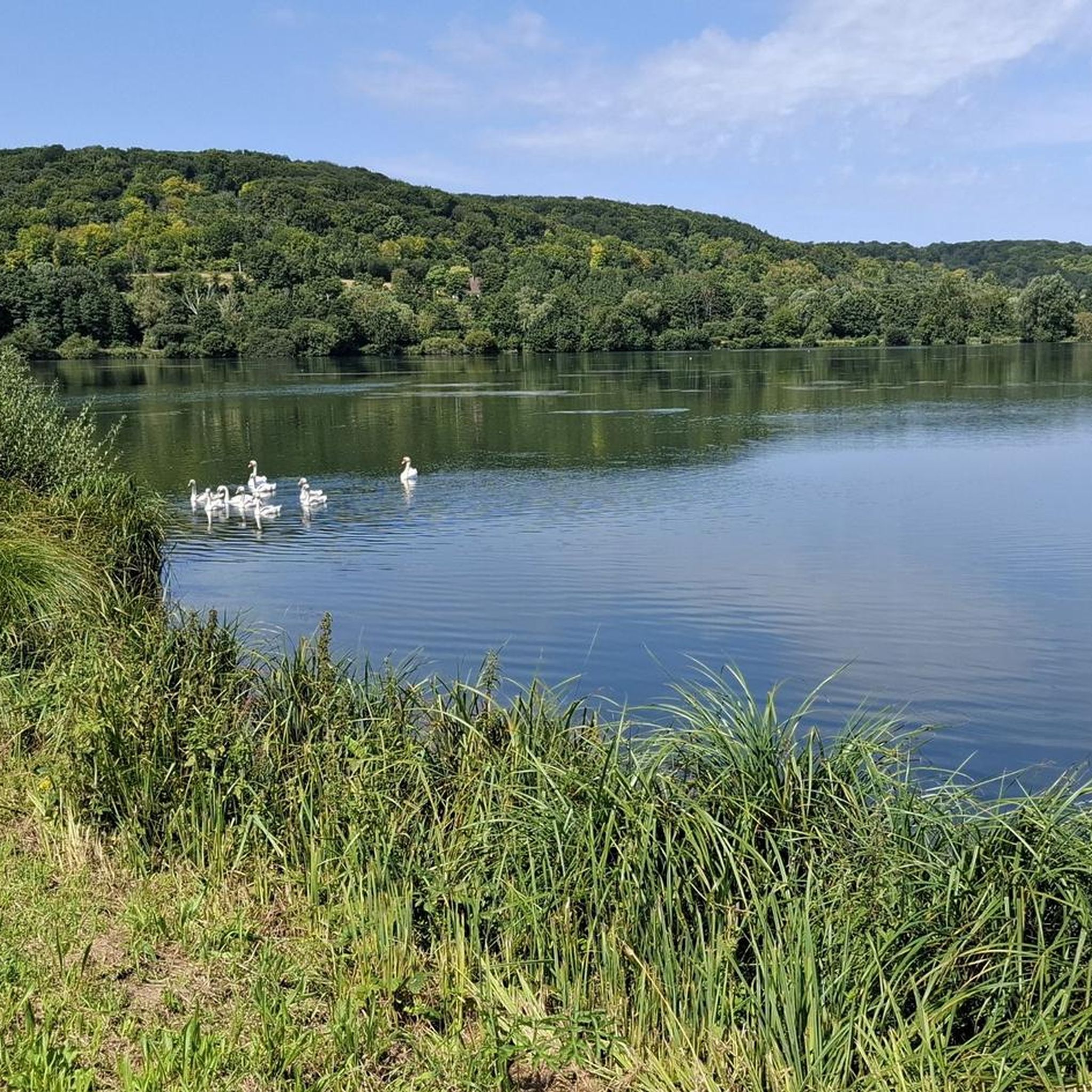
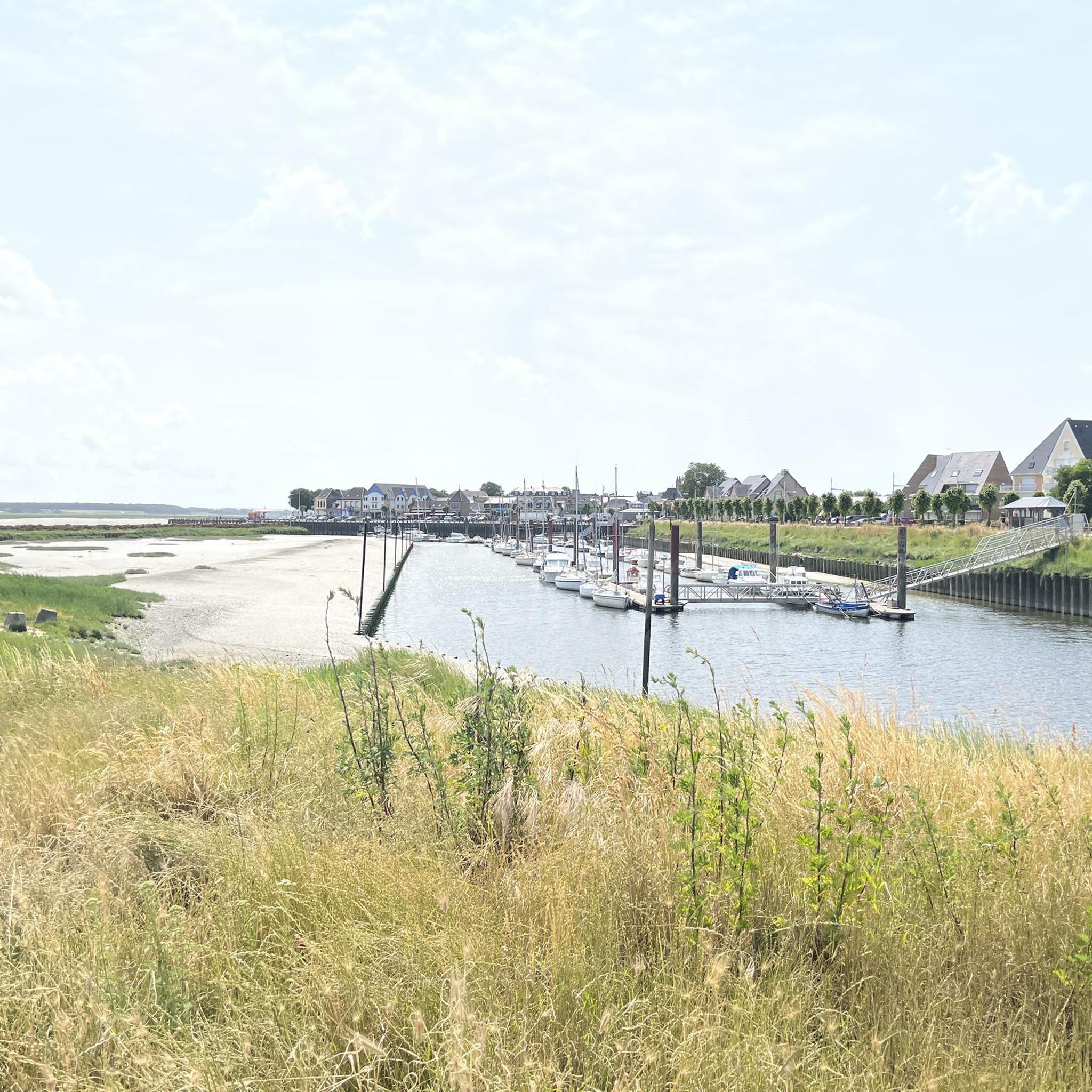
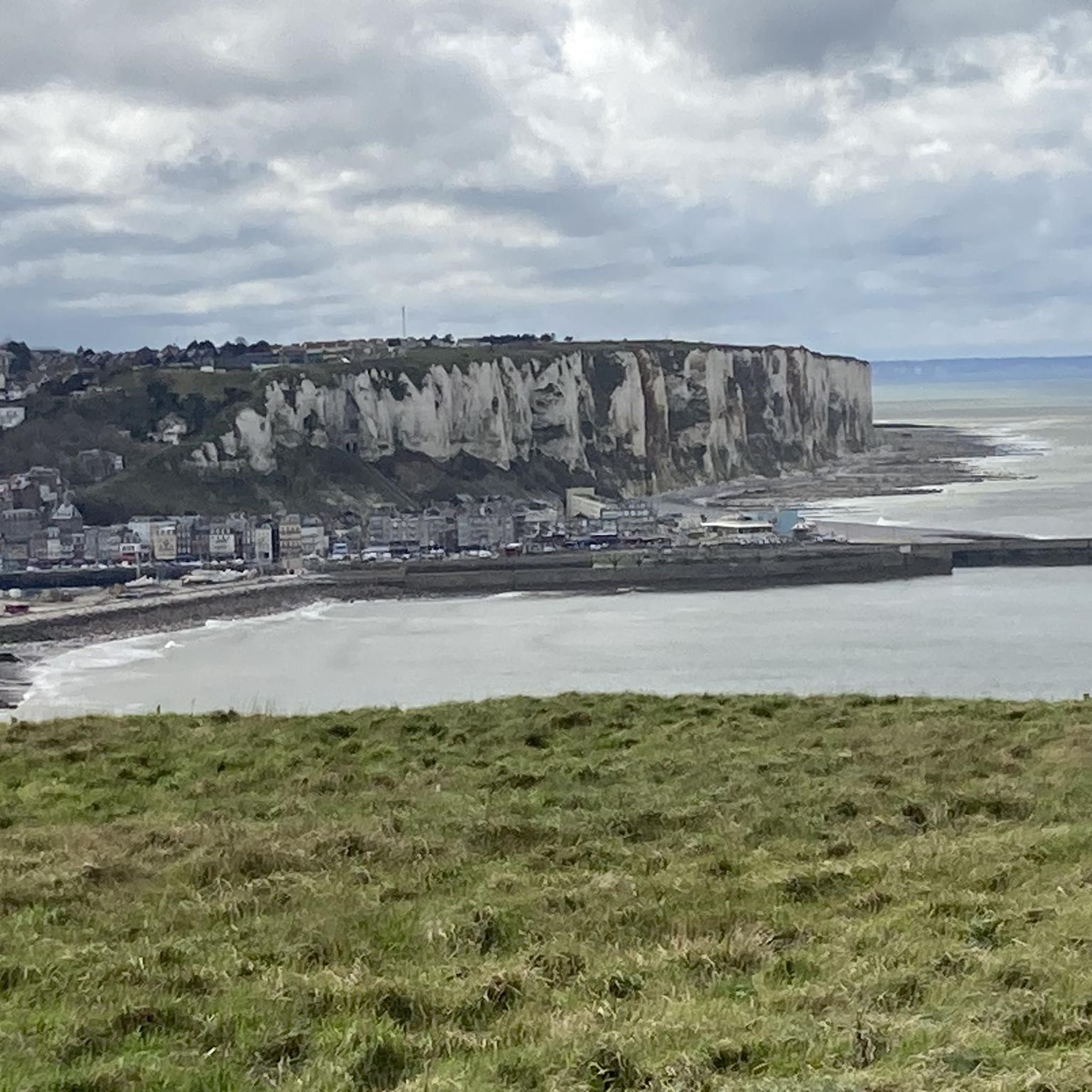
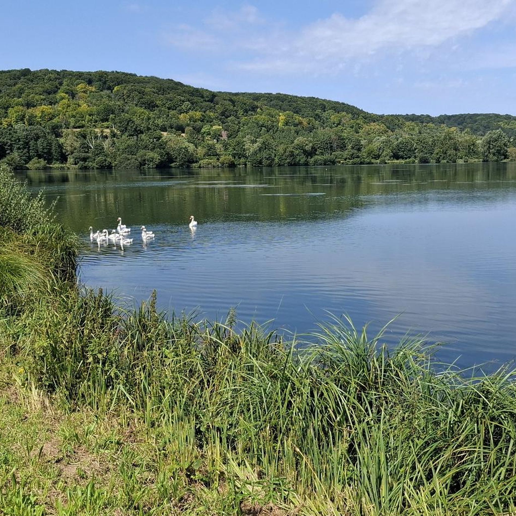

Tips from the Community

A very beautiful place, even without seals.
0
0

Unfortunately, it's not that easy to see the seals, which is a shame.
1
0

Hourdel Lighthouse is a lighthouse on the common Cayeux-sur-Mer, it is built on the south side of the Bay of Somme, at the end of the point of Hourdel.
4
0

Steam train from St Valéry, allows you to return to Noyelles station to take a TER
0
0

take a right and a nice little detour
0
0
There are other routes nearby.
0
0

The cliffs are made of chalk and are impressive to look at.
3
0
Frequently Asked Questions
How many gravel bike trails are available around Aigneville?
There are nearly 10 gravel bike routes documented around Aigneville on komoot, offering a variety of experiences. These routes are highly rated by the komoot community, with an average score of 4.3 stars from over 3 reviews.
What kind of terrain can I expect on gravel bike trails near Aigneville?
The terrain around Aigneville is quite varied, reflecting the diverse landscapes of the Somme department. You'll encounter a mix of river valleys, areas with coastal proximity, and extensive forests. The region itself has an elevation ranging from 89 to 124 meters, providing undulating paths suitable for gravel cycling. Expect unpaved roads and tracks through woodlands and along waterways.
Are there any challenging gravel bike routes for experienced riders?
Yes, Aigneville offers routes for more experienced gravel bikers. For instance, the Cycle path along the Canal Somme – Kanal der Somme loop from Longroy - Gamaches is a difficult 153 km trail with over 1000 meters of elevation gain, providing a significant challenge. Another difficult option is the Cycle path along the Canal Somme – Kanal der Somme loop from Valines, which covers 87 km.
Are there any moderate gravel bike trails suitable for intermediate riders?
Absolutely. Most of the gravel routes around Aigneville are classified as moderate. A popular choice is The Somme canalised – Around Long Lock loop from Cerisy-Buleux, a 55 km path that explores the canalised Somme river and surrounding countryside. Another moderate option is the Wooden Bridge on Forest Trail – V1 Launch Site of Guerville loop from Longroy - Gamaches, which takes you through forested areas over 36.5 km.
What are some notable landmarks or points of interest I can see along the gravel routes?
While gravel biking, you can explore various points of interest. The region features historical sites like Briga (ancient city) and natural attractions such as Marais de Gousseauville and Bouvaincourt-sur-Bresle Ponds. Some routes, like those along the Canal Somme, offer scenic views of the waterway itself. You might also pass by structures like Arrest Castle.
Are there any circular gravel bike routes around Aigneville?
Yes, many of the gravel bike trails around Aigneville are designed as loops, allowing you to start and finish in the same location. Examples include the challenging Cycle path along the Canal Somme – Kanal der Somme loop from Longroy - Gamaches and the moderate Miannay Manor loop from Quesnoy-le-Montant.
What is the best time of year for gravel biking in Aigneville?
The Somme department, where Aigneville is located, offers varied conditions throughout the year. Spring and autumn generally provide pleasant temperatures and beautiful scenery, making them ideal for gravel biking. Summer can be warm but is also suitable, especially for routes with shaded forest sections. Winter riding is possible, but conditions may be colder and wetter, requiring appropriate gear and caution on trails.
Is Aigneville suitable for family-friendly gravel biking?
While the guide primarily features moderate to difficult routes, the broader Somme region offers diverse landscapes. For families, look for shorter, less elevated sections of paths, particularly those along river valleys or designated cycle paths. The Cycling Path Along the Bresle and Its Lakes, though not directly a gravel route from this guide, indicates the presence of dedicated cycling infrastructure that might offer easier sections for families.
Where can I find parking facilities for gravel biking in Aigneville?
Specific parking information for individual trailheads is best checked directly on the komoot tour pages or local signage. However, as Aigneville is a commune, you can typically find parking in the village center or near local amenities. For routes starting from nearby towns like Longroy - Gamaches or Valines, look for public parking areas within those communities.
Can I access gravel bike routes in Aigneville using public transport?
Public transport options in rural areas like Aigneville can be limited. While local buses might serve the commune, carrying bikes on them can be challenging. For routes starting further afield, consider regional train services to larger towns in the Somme department, then cycling to your desired starting point. Always check local transport provider policies regarding bikes in advance.
Are there any cafes or places to eat near the gravel trails in Aigneville?
Aigneville itself is a small commune, but you can find local amenities. For more options, consider routes that pass through or near larger towns in the Somme department, such as Ault, Eu, Mers-les-Bains, or Saint-Valery-sur-Somme, which offer a wider selection of cafes, restaurants, and shops to refuel during or after your ride.
What do other gravel bikers enjoy most about the routes around Aigneville?
The routes around Aigneville are highly rated by the komoot community, with an average score of 4.3 stars. Reviewers often praise the varied terrain, from river valleys to dense woodlands, and the opportunity to explore the natural beauty of the Somme department. The mix of moderate and difficult trails also appeals to a range of riders looking for different challenges.
Most popular routes around Aigneville
Most popular attractions around Aigneville

Get inspired with the komoot mobile app


Explore more
Browse the best Gravel rides in other regions.
