The best gravel rides around Feuquières-En-Vimeu
4.3
(12)
76
riders
6
rides
Gravel biking around Feuquières-En-Vimeu features a landscape characterized by river valleys, agricultural plains, and forested sections. The Vimeu natural region, bordered by the Bresle and Somme valleys, contributes to varied terrain. Elevations are generally moderate, with some routes featuring gradual climbs. The area offers diverse natural attractions like the Gousseauville Marshes and Étang Épinoy, providing scenic routes for cyclists.
Best gravel bike trails around Feuquières-En-Vimeu
- The most popular gravel bike trail is Cycle path along the Canal Somme – Kanal…
Last updated: July 3, 2026
4.4
(9)
56
riders
54.5km
03:16
230m
230m
Moderate gravel ride. Good fitness required. Mostly paved surfaces. Suitable for all skill levels.
4.5
(2)
12
riders
85.8km
05:01
480m
480m
Hard gravel ride. Very good fitness required. Mostly paved surfaces. Suitable for all skill levels.

Sign up for free
3
riders
Moderate gravel ride. Good fitness required. Mostly paved surfaces. Suitable for all skill levels.
4.0
(1)
2
riders
19.8km
01:29
240m
240m
Moderate gravel ride. Good fitness required. Mostly paved surfaces. Suitable for all skill levels.
1
riders
38.5km
02:34
180m
180m
Moderate gravel ride. Good fitness required. Mostly paved surfaces. Suitable for all skill levels.
Our route recommendations are based on thousands of hikes, rides, and runs completed by other people on komoot.
Start today with a free account
Your next adventure awaits.
Login or Signup

Tips from the Community

A very beautiful place, even without seals.
0
0

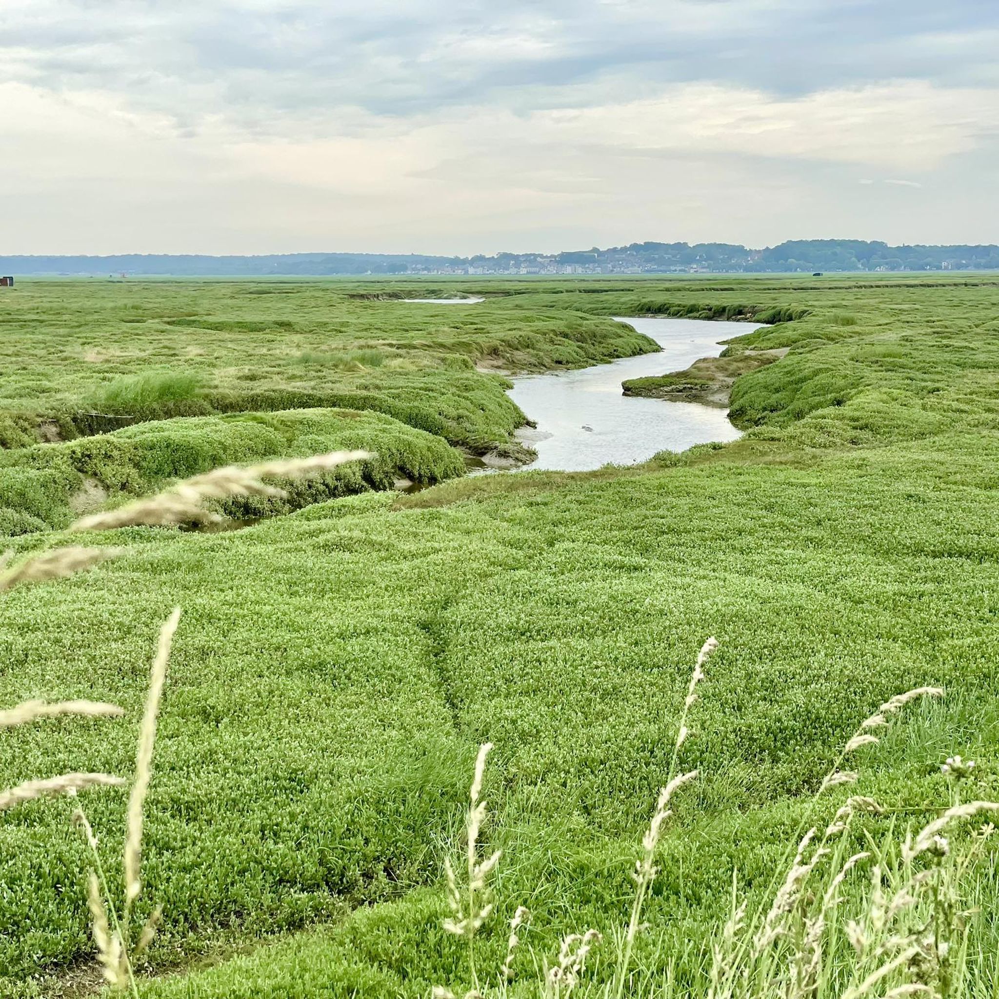
The scenery is very beautiful, with lots of birds, cows, horses, and sheep. The road is made of pebbles and quite strenuous to ride.
0
0

Unfortunately, it's not that easy to see the seals, which is a shame.
1
0

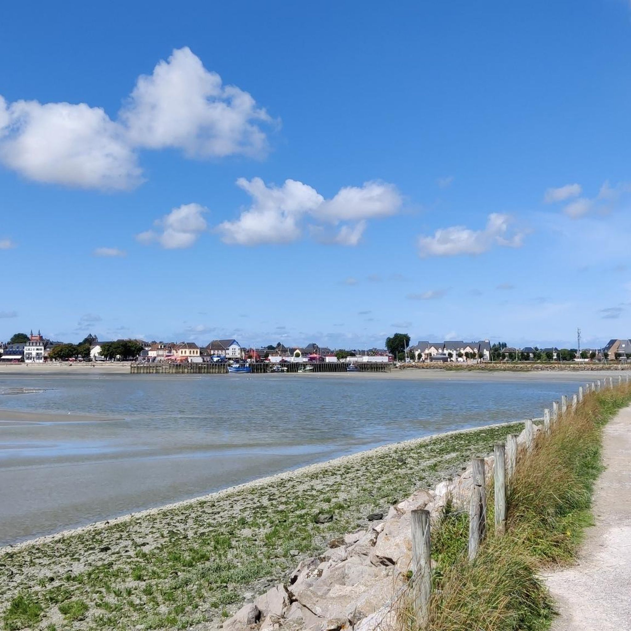
Hourdel Lighthouse is a lighthouse on the common Cayeux-sur-Mer, it is built on the south side of the Bay of Somme, at the end of the point of Hourdel.
4
0

Steam train from St Valéry, allows you to return to Noyelles station to take a TER
0
0

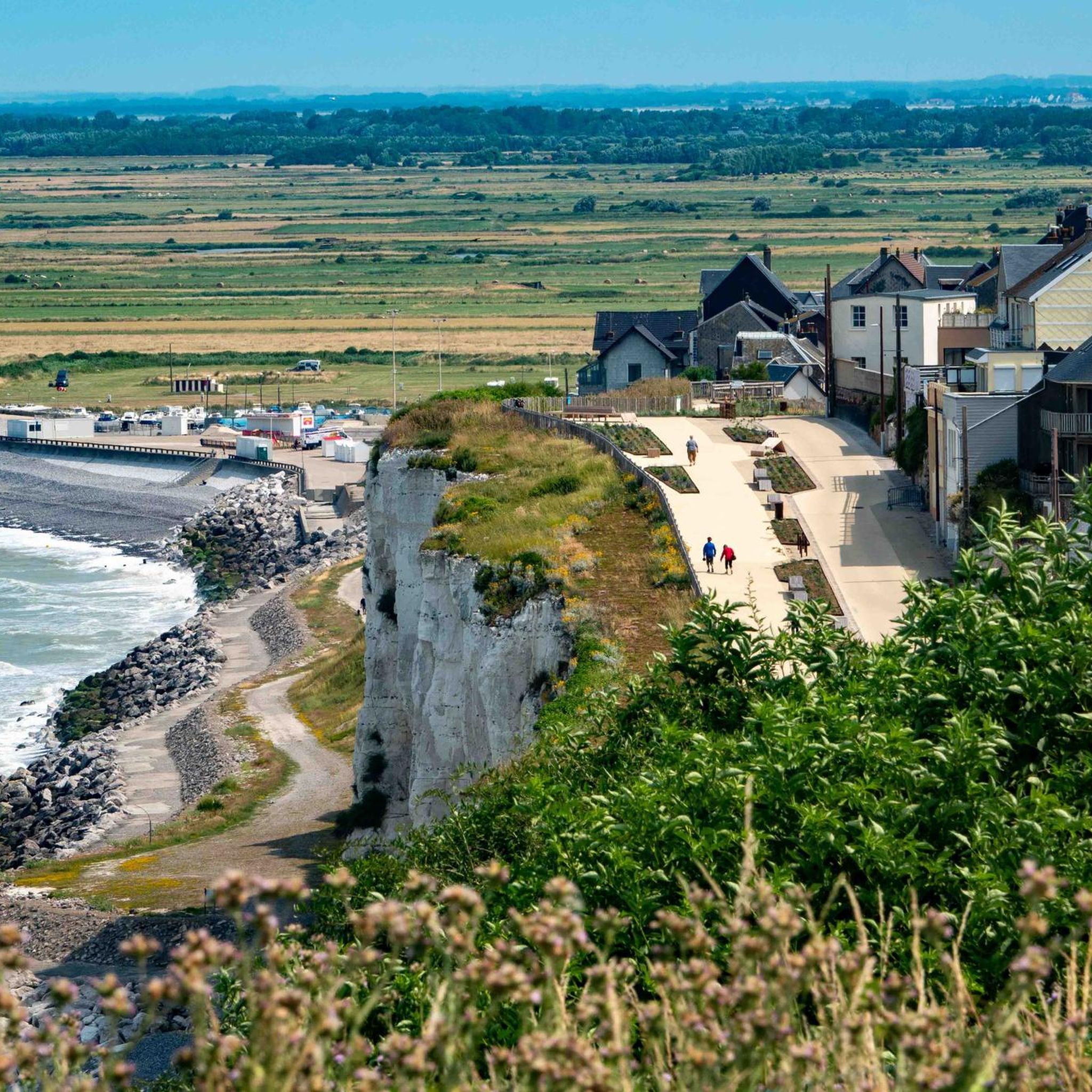
The cliffs are made of chalk and are impressive to look at.
3
0

The cliffs around the beach of Ault are composed of chalk from the Upper Cretaceous, more precisely from the Turonian and Coniacian (around 83 million years ago to 90 million years ago). They are strewn with flint nodules which highlight the subhorizontal stratification planes (the formation of flint has already been discussed in Discovery of the geology of the cliffs of Étretat, presentation of an excursion from the beach of Tilleul (Antifer) to the Porte d'Amont (Étretat Nord)). The relative proportion of chalk and flint is around 90-95% chalk to 5-10% flint. Flint horizons are stratigraphic markers. On the cliffs of Ault, the regular flint band called Seven Sisters is recognizable and characterizes the boundary between the Middle Coniacian and the Upper Coniacian (around 87 million years ago). The boundary between the lower and middle Coniacian is marked by the Shoreham 2 marl level, which is more difficult to identify. These lithostratigraphic markings allow in particular the correlation of distant deposits, such as between the Normandy and Picardy coasts, or between the French and English coasts.
2
0

There is a lot to do in Ault, a small town on the cliffs in France.
0
0
Frequently Asked Questions
How many gravel bike trails are available around Feuquières-En-Vimeu?
There are 10 gravel bike routes documented around Feuquières-En-Vimeu, offering a variety of experiences for different skill levels.
What is the best time of year for gravel biking in Feuquières-En-Vimeu?
The region's landscape, characterized by river valleys, agricultural plains, and forested sections, is generally enjoyable throughout the warmer months. Spring and autumn offer pleasant temperatures and vibrant scenery, while summer provides longer daylight hours. Always check local weather conditions before heading out.
Are there any easy gravel bike trails suitable for beginners in Feuquières-En-Vimeu?
Yes, beginners can enjoy routes like The bridge road – Canal de la Somme Picnic Area loop from Miannay. This route is rated easy and covers 18.3 km with minimal elevation gain, making it a great introduction to gravel biking in the area.
Where can I find challenging gravel bike routes in the Feuquières-En-Vimeu area?
For more advanced riders, routes such as Cycle path along the Canal Somme – Kanal der Somme loop from Longroy - Gamaches offer a significant challenge. This difficult route spans 153.5 km with over 1000 meters of elevation gain, providing an extensive ride through the Canal Somme valley.
Are there any loop gravel bike routes around Feuquières-En-Vimeu?
Many of the gravel bike trails in the region are loops, allowing you to start and finish at the same point. An example is the Miannay Manor loop from Quesnoy-le-Montant, a moderate 19.8 km route that takes you through varied terrain.
What kind of terrain can I expect on gravel bike trails in Feuquières-En-Vimeu?
The terrain varies, featuring paths along canals, through rural agricultural plains, and forested sections. You'll encounter a mix of surfaces suitable for gravel bikes, with generally moderate elevations and gradual climbs.
What do other gravel bikers say about the trails in Feuquières-En-Vimeu?
The komoot community rates the routes in this area highly, with an average score of 4.5 stars. Riders often appreciate the diverse landscape, from riverside paths to quiet forest trails.
Are there any gravel bike trails that pass by interesting historical sites or natural attractions?
While specific routes aren't directly tied to all attractions, you can explore nearby points of interest. Consider visiting Briga (ancient city) or the tranquil Marais de Gousseauville. The Wooden Bridge on Forest Trail – V1 Launch Site of Guerville loop from Longroy - Gamaches offers a mix of forest and historical context.
Are there any trails that follow canals or rivers?
Yes, the region is known for its canal paths. The Cycle path along the Canal Somme – Kanal der Somme loop from Valines is a prime example, offering extended stretches of riverside riding along the Canal Somme.
Are there any family-friendly gravel bike trails in Feuquières-En-Vimeu?
While specific 'family-friendly' designations aren't provided, routes with easier difficulty grades and shorter distances would be most suitable. The easy-rated The bridge road – Canal de la Somme Picnic Area loop from Miannay is a good option for a less strenuous ride.
What are the longest gravel bike routes near Feuquières-En-Vimeu?
The longest route available is the Cycle path along the Canal Somme – Kanal der Somme loop from Longroy - Gamaches, which spans 153.5 km and typically takes over 11 hours to complete. This route provides an extensive journey through the scenic Canal Somme valley.
Are there any scenic viewpoints along the gravel bike trails?
Many routes offer scenic views as they traverse river valleys, open agricultural landscapes, and forested areas. Trails along the Canal Somme, such as the Cycle path along the Canal Somme – Kanal der Somme loop from Valines, provide picturesque waterside vistas.
Most popular routes around Feuquières-En-Vimeu
Most popular attractions around Feuquières-En-Vimeu

Get inspired with the komoot mobile app


Explore more
Browse the best Gravel rides in other regions.
