The best gravel rides around Meslières
4.0
(2)
15
riders
4
rides
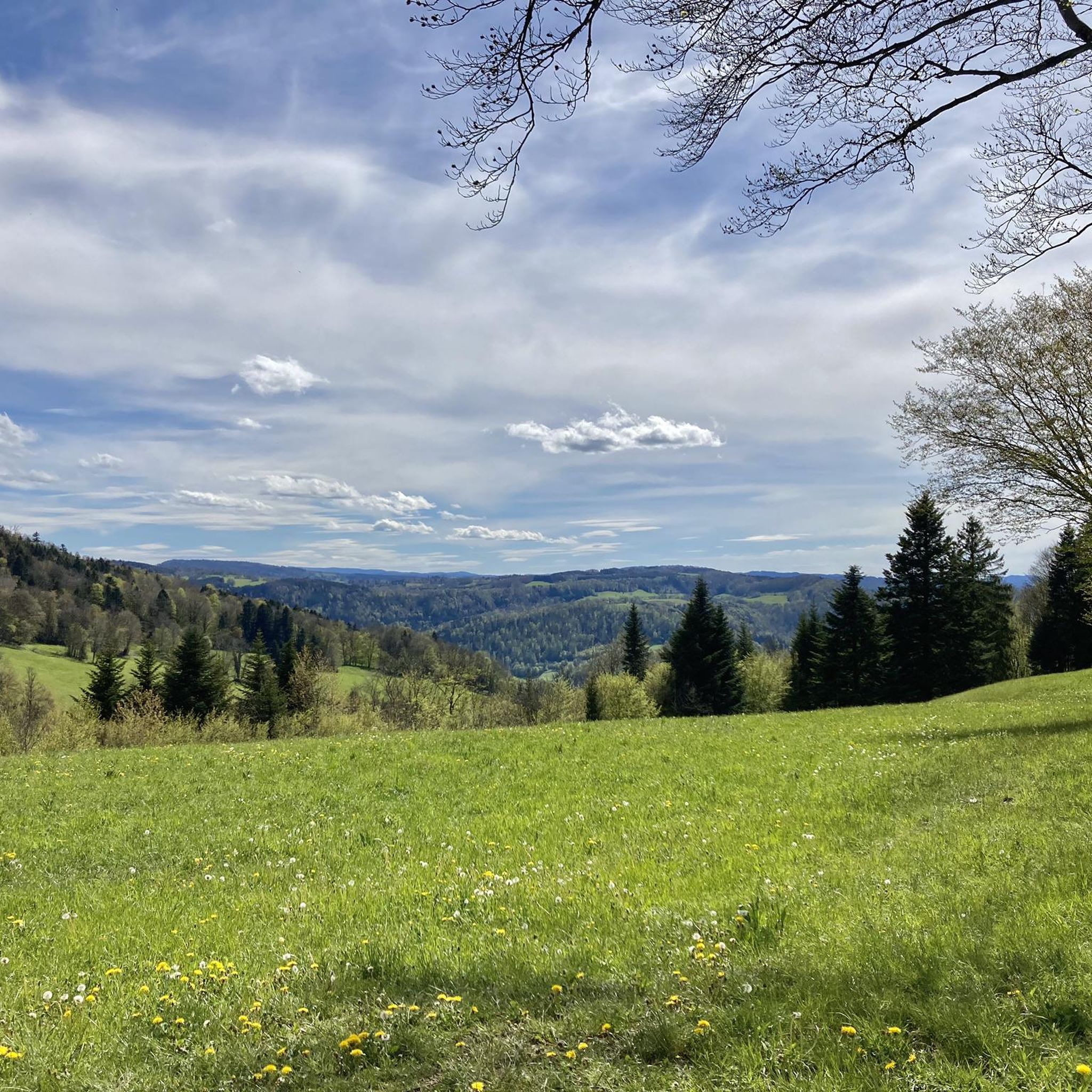
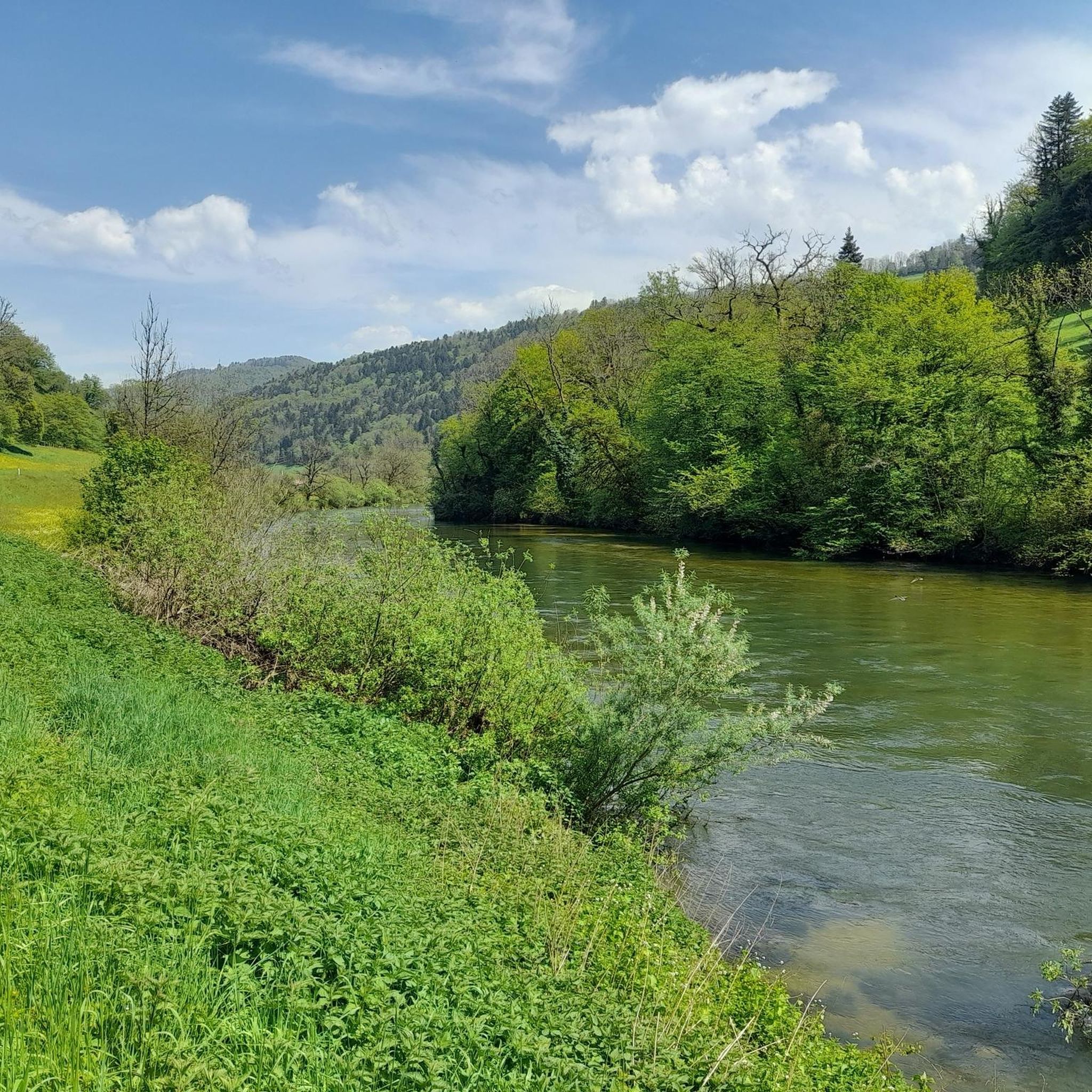
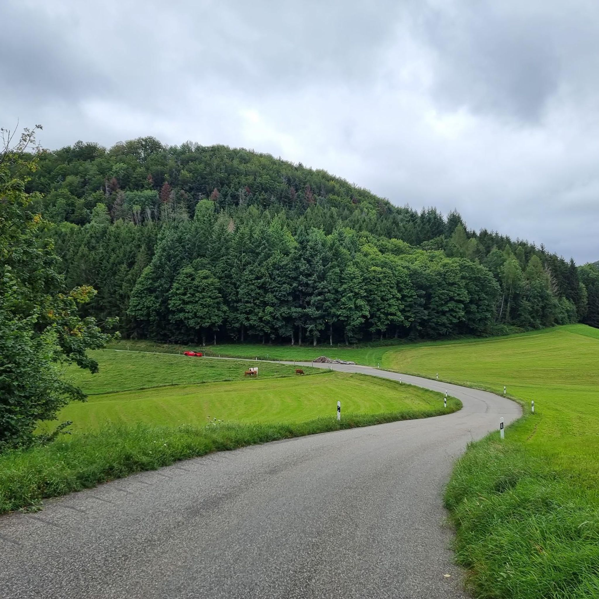
Gravel biking around Meslières, located in the Doubs department of Burgundy-Franche-Comté, offers diverse terrain within the Jura mountains. The region is characterized by undulating landscapes, encompassing river valleys, plateaus, and extensive forests, providing varied routes for cyclists. Elevations range from 374 to 577 meters, contributing to a mix of ascents and descents. This topography, combined with numerous forest paths and tracks, makes Meslières a suitable base for exploring the natural features of the Jura on a gravel bike.
Best gravel…
Last updated: July 3, 2026
4
riders
19.0km
01:25
250m
250m
Moderate gravel ride. Good fitness required. Mostly paved surfaces. Suitable for all skill levels.
3
riders
26.7km
01:48
330m
330m
Moderate gravel ride. Good fitness required. Mostly paved surfaces. Suitable for all skill levels.

Sign up for free
3.0
(1)
5
riders
78.5km
05:26
1,290m
1,290m
Hard gravel ride. Very good fitness required. Mostly paved surfaces. Suitable for all skill levels.
5.0
(1)
2
riders
36.2km
02:04
240m
240m
Moderate gravel ride. Good fitness required. Mostly paved surfaces. Suitable for all skill levels.
1
riders
36.3km
02:26
570m
570m
Hard gravel ride. Very good fitness required. You may need to push your bike for some segments of this route.
Our route recommendations are based on thousands of hikes, rides, and runs completed by other people on komoot.
Start today with a free account
Your next adventure awaits.
Login or Signup


Tips from the Community

An impressively large amphitheater dating from Roman times
1
0

This bridge on the Transjurane Autoroute is constructed over the cycling path from Porrentruy to Fahy. The cycling path itself is in excellent condition on mainly flat surface.
0
0

The town of Montbéliard was part of Württemberg for 400 years and was called “Mömpelgard”.
3
0

nice tour along chanels and rivers.. for now from Mulhouse to Besançon... and further... until Nevers
0
0

A change of direction to Mandeure is worthwhile, as the Roman amphitheater is located right at the town entrance on the right—freely accessible!
0
0

Great bike paths, very beautiful area.
0
0

very beautiful course, varied and accessible.
0
0

A pretty town in the Doubs region, many of whose residents were employed by the Peugeot family. The town hall is a former residence built in 1853 for Frédéric Peugeot, the eldest of the four founding brothers.
0
0
Frequently Asked Questions
What kind of terrain can I expect on gravel bike trails around Meslières?
Meslières, nestled in the Jura Mountains, offers a diverse and undulating landscape for gravel biking. You'll encounter a mix of river valleys, plateaus, and extensive forests. The routes feature rolling hills, ascents, and descents, with elevations ranging from 374 to 577 meters. Expect numerous forest paths and tracks, providing a varied and engaging cycling experience.
Are there any easy or beginner-friendly gravel routes in the Meslières area?
Yes, there are options suitable for a more gentle cycling experience. For instance, the Étupes Lock on the EV6 – On the Canal du Rhone au Rhin 🚴 loop from Taillecourt is a moderate 50.1 km route that follows the Canal du Rhone au Rhin, offering a relatively flat and accessible path.
What are some of the more challenging gravel biking routes near Meslières?
For those seeking a challenge, the Saint-Hippolyte village – Saint-Hippolyte loop from Thulay is a difficult 55.7 km trail with significant elevation gain (over 1100 meters). This route takes you through varied Jura landscapes, providing a demanding yet rewarding ride.
Can I find circular gravel bike routes around Meslières?
Yes, many of the gravel routes in the area are designed as loops. For example, the Junction to Mandeure – Shadoof well loop from Audincourt is a 36.3 km circular trail that explores the local countryside. Another option is the Mandeure Viewpoint – Ancient Theatre of Mandeure loop from Pont-de-Roide, which is a moderate 28.2 km loop.
What natural features or landmarks can I see along the gravel bike trails?
The region offers several interesting natural and historical sights. You might encounter the Rochedanne rock shelter, an archaeological site with natural beauty. Other natural highlights in the wider area include the Fontaine de Roches and the Pont Sarrazin Natural Arch. The routes often traverse dense forests and follow river valleys, providing picturesque views.
What do other gravel bikers enjoy most about cycling in Meslières?
The gravel biking routes around Meslières are highly rated by the komoot community, with an average score of 4.9 stars from over 14 reviews. Riders frequently praise the diverse terrain, which includes river valleys, plateaus, and extensive forests, offering a rich and varied landscape for exploration.
Are there any routes that offer scenic viewpoints?
Absolutely. The undulating landscape of Meslières and the broader Jura Mountains provides numerous opportunities for scenic views. Routes like the Mandeure Viewpoint – Ancient Theatre of Mandeure loop from Pont-de-Roide are specifically named for their scenic outlooks, allowing riders to experience the beauty of the region.
What is the best time of year for gravel biking in Meslières?
The Jura Mountains region, including Meslières, is generally appealing for outdoor activities. While specific weather patterns vary, spring and autumn often offer pleasant temperatures and beautiful scenery for gravel biking. Summers can be warm, and winters may bring snow, making certain trails less accessible. Checking local weather forecasts before your ride is always recommended.
Are there any routes that pass by historical sites?
Yes, some routes can lead you near historical points of interest. For example, the Mandeure Viewpoint – Ancient Theatre of Mandeure loop from Pont-de-Roide passes by the Ancient Theatre of Mandeure, offering a glimpse into the region's past.
How long do gravel bike routes around Meslières typically take to complete?
The duration varies significantly depending on the route's distance, elevation, and your cycling pace. For instance, a moderate route like the Junction to Mandeure – Shadoof well loop from Audincourt (36.3 km) can be completed in about 2 hours 40 minutes, while a more difficult and longer route such as the Saint-Hippolyte village – Saint-Hippolyte loop from Thulay (55.7 km) might take around 4 hours 38 minutes.
What is the general difficulty level of gravel biking in Meslières?
The routes around Meslières offer a range of difficulty levels. You can find moderate paths, such as those following the Canal du Rhone au Rhin, which are relatively gentle. However, the region also features more challenging routes with significant climbs and descents, characteristic of the Jura Mountains' undulating topography. It's advisable to check the specific route details for elevation gain and distance to match your fitness level.
Most popular attractions around Meslières

Get inspired with the komoot mobile app


Explore more
Browse the best Gravel rides in other regions.
