The best MTB trails around Beaujeu-Saint-Vallier-Pierrejux-Et-Quitteur
4.4
(21)
102
riders
24
rides
Mountain biking around Beaujeu-Saint-Vallier-Pierrejux-Et-Quitteur offers diverse landscapes across Haute-Saône, Bourgogne-Franche-Comté. The region features deep forests, flower-filled valleys, plains, and plateaus, providing varied terrain for riders. Rolling hills and vineyards characterize the area, alongside wooded slopes and riverine environments near the Saône. These physical features contribute to a network of mountain bike trails with significant elevation gains and mixed surfaces.
Best mountain bike trails around Beaujeu-Saint-Vallier-Pierrejux-Et-Quitteur
- The most popular mountain bike trail is Savoyeux Tunnel – Savoyeux Tunnel loop from Gray…
Last updated: July 3, 2026
4.2
(11)
11
riders
51.8km
02:44
160m
160m
Moderate mountain bike ride. Good fitness required. Suitable for all skill levels.
10
riders
18.0km
00:57
50m
50m
Easy mountain bike ride. Great for any fitness level. Suitable for all skill levels.

Sign up for free
5.0
(2)
9
riders
Easy mountain bike ride. Great for any fitness level. Suitable for all skill levels.
5.0
(1)
9
riders
38.3km
02:41
330m
330m
Moderate mountain bike ride. Good fitness required. Suitable for all skill levels.
3.5
(2)
6
riders
41.2km
03:07
560m
560m
Moderate mountain bike ride. Good fitness required. Suitable for all skill levels.
Get access to more routes and recommendations from other explorers.
Sign up for free
Already have an account?
Our route recommendations are based on thousands of hikes, rides, and runs completed by other people on komoot.
Start today with a free account
Your next adventure awaits.
Login or Signup
Popular around Beaujeu-Saint-Vallier-Pierrejux-Et-Quitteur

Tips from the Community

The Vincent Cheviet vineyard stretches across the sunny slopes of the Monts de Gy. Replanted in 1999, it continues the local winemaking tradition with grape varieties such as Chardonnay and Pinot Noir.
0
0

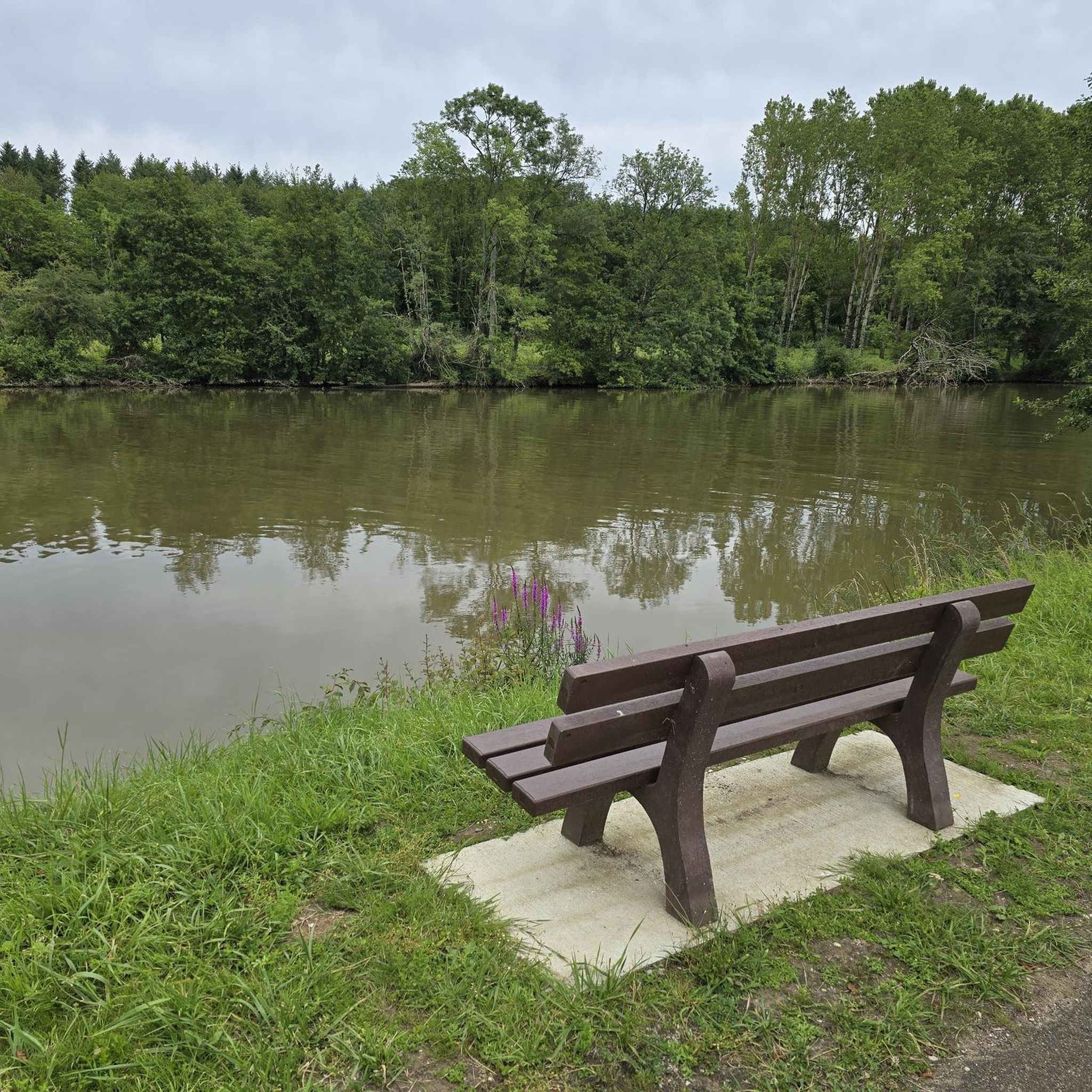
The Saône is a river that flows through Burgundy and Franche-Comté. It is a major tributary of the Rhône and a popular spot for water sports, fishing and boat trips
10
4
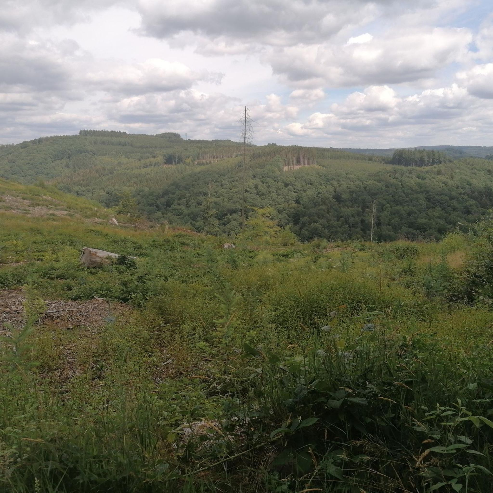
The highlight here is taken from the resting point above the exit. There is also a table here.
11
4


The Savoyeux tunnel was built during the July Monarchy, in 1837. It facilitates navigation on the Saône. The dimensions of the work are impressive: 642.5 meters long, and only 6.55 meters wide. It passes under the hill and makes it possible to cut a meander in the river, and to avoid a dam located a little higher up.
0
0
The Tunnel de Savoyeux is an underground canal that diverts the Saône between two of its meanders near Savoyeux, in Haute-Saône, in France. It was completed in 1843 and made it possible to sail the small Saône to the Saône. It is 642.5 meters long and 6.55 meters wide. It has no path for pulling the boats, so the skippers had to pull the boats with chains attached to the walls of the tunnel. It also has a lock at the end of the tunnel
10
4
The Tunnel de Savoyeux is an underground canal that diverts the Saône between two of its meanders near Savoyeux, in Haute-Saône, France. It was completed in 1843 and made it possible to sail the small Saône to the Saône. It is 642.5 meters long and 6.55 meters wide. It has no path for pulling the boats, so the skippers had to pull the boats with chains attached to the walls of the tunnel. It also has a lock at the end of the tunnel
12
4

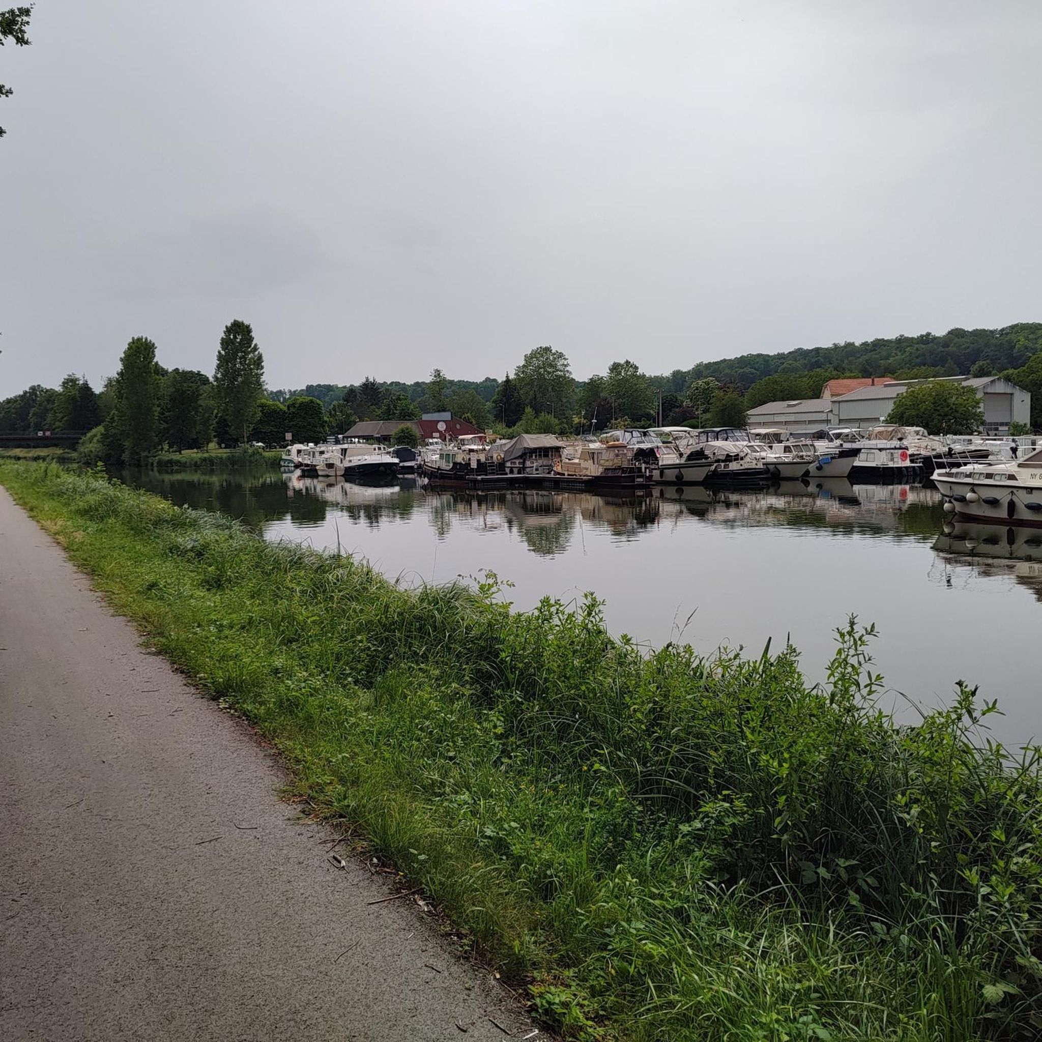
Locked diversion of the Saône built in two stages, in 1840 and 1880. This reach is one of the areas developed to make the Saône navigable.
0
0
Frequently Asked Questions
How many mountain bike trails are available in Beaujeu-Saint-Vallier-Pierrejux-Et-Quitteur?
There are over 20 mountain bike trails around Beaujeu-Saint-Vallier-Pierrejux-Et-Quitteur, offering a variety of experiences for riders. These routes traverse diverse landscapes, including deep forests, rolling hills, and riverine environments.
What are the difficulty levels of mountain bike trails in this region?
The mountain bike trails in Beaujeu-Saint-Vallier-Pierrejux-Et-Quitteur primarily range from easy to moderate difficulty. There are 8 easy routes perfect for a relaxed ride, and 14 moderate routes that offer more challenge with varied terrain and elevation changes.
Are there any family-friendly mountain bike trails in the area?
Yes, there are several easy mountain bike trails suitable for families. For instance, the Apremont Dam loop from Gray is an easy route that covers 35.1 km. Another good option is the Apremont Dam – Pont de Pierre of Gray loop from Gray, which is 26.8 km and also rated easy.
What kind of terrain can I expect on the mountain bike trails around Beaujeu-Saint-Vallier-Pierrejux-Et-Quitteur?
You can expect a diverse range of terrain, from deep forests and flower-filled valleys to plains and plateaus. The region is characterized by rolling hills, vineyards, and wooded slopes, with many routes featuring significant elevation gains and mixed surfaces. Riverine landscapes near the Saône also add to the variety.
What scenic viewpoints or landmarks can I see along the mountain bike trails?
The region offers several scenic spots. You might encounter the picturesque Pont de Pierre of Gray or the Savoyeux Tunnel. The broader area also features the Croix de Rochefort Viewpoint, offering panoramic vistas, and the historic medieval Château de Beaujeu.
What do other mountain bikers enjoy most about the trails here?
The trails around Beaujeu-Saint-Vallier-Pierrejux-Et-Quitteur are highly rated by the komoot community, with an average score of 4.3 stars from over 18 reviews. Riders often praise the varied terrain, the beauty of the deep forests and rolling hills, and the options available for different skill levels.
Are there any loop mountain bike trails in the area?
Yes, many of the mountain bike trails in this region are designed as loops. Popular examples include the Savoyeux Tunnel – Savoyeux Tunnel loop from Gray, the Pont de Pierre of Gray – Gray loop from Gray, and the Grotte du Captiot loop from Angirey.
What is the best time of year for mountain biking in Beaujeu-Saint-Vallier-Pierrejux-Et-Quitteur?
The region's diverse landscapes, including forests and riverine areas, make it enjoyable for mountain biking across multiple seasons. Spring and autumn generally offer pleasant temperatures and vibrant scenery, while summer can be great for exploring the wooded sections. Always check local weather conditions before heading out.
Are there any specific routes that offer a good mix of scenery and challenge?
For a route with varied terrain and notable elevation changes, consider the Pont de Pierre of Gray – Gray loop from Gray. If you prefer forests and hills, the Grotte du Captiot loop from Angirey is a great choice, often completed in about 3 hours.
Can I find information about cycling in the wider Haute-Saône region?
Yes, the Haute-Saône region is well-regarded for cycling. You can find more information about cycling and mountain biking opportunities in the broader area, including the Val de Saône, by visiting the official tourism websites like Haute-Saône Tourisme or Tourisme Val de Saône.
Most popular routes around Beaujeu-Saint-Vallier-Pierrejux-Et-Quitteur
Most popular attractions around Beaujeu-Saint-Vallier-Pierrejux-Et-Quitteur

Get inspired with the komoot mobile app


Explore more
Browse the best MTB trails in other regions.
