The best gravel rides around Pavezin
4.8
(15)
121
riders
19
rides
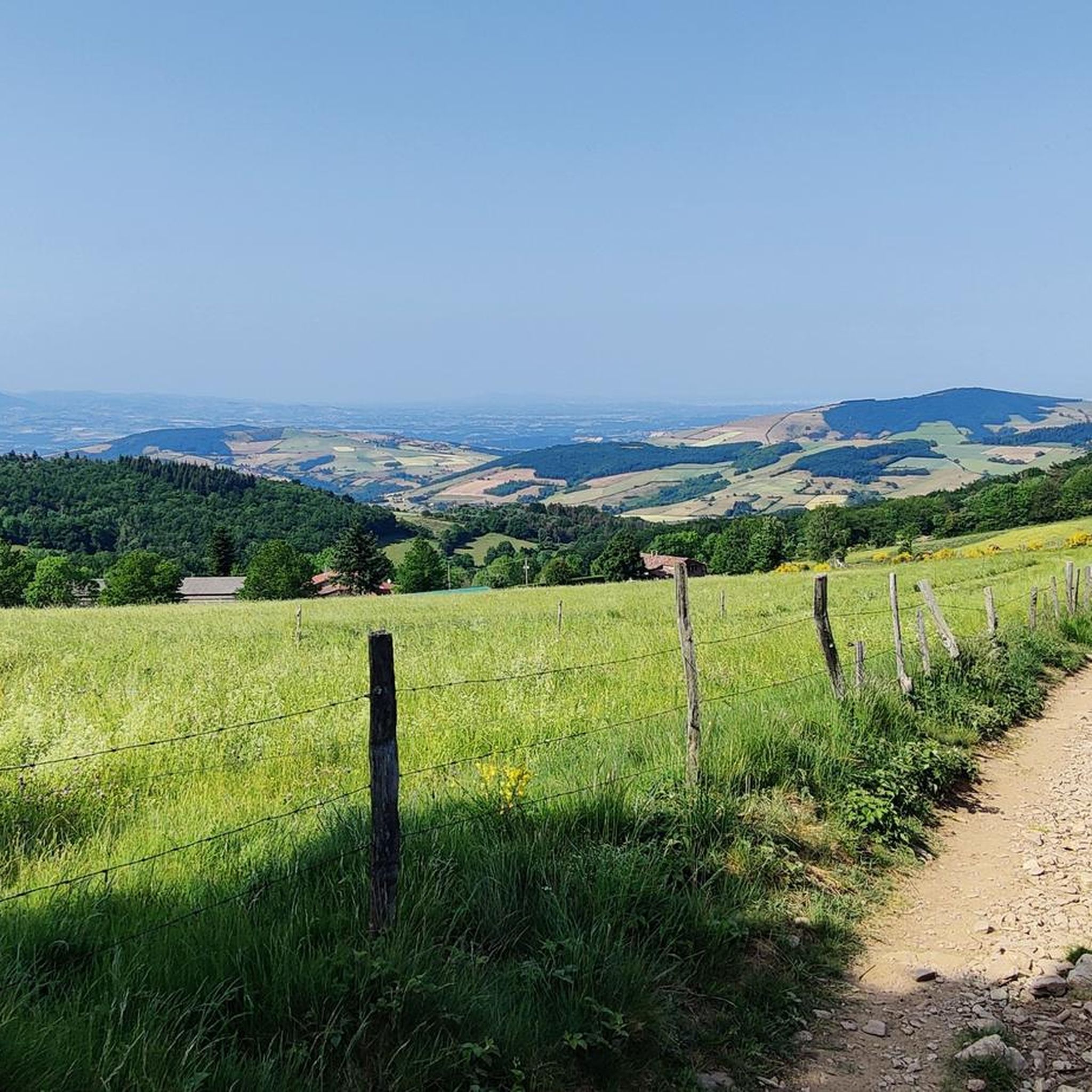
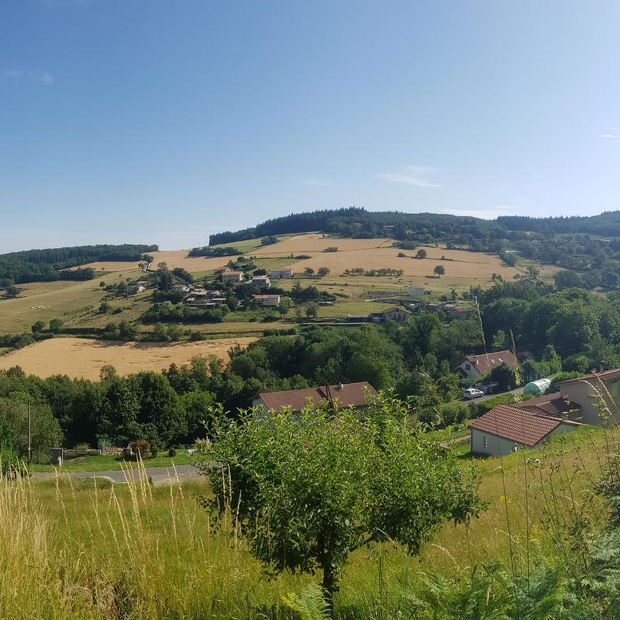
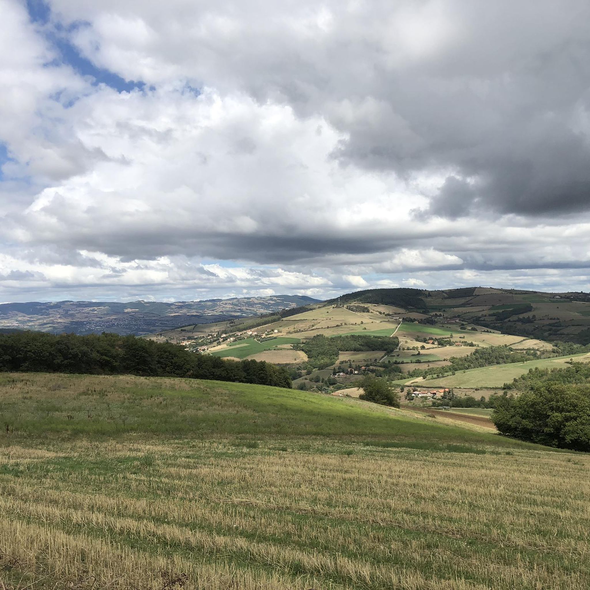
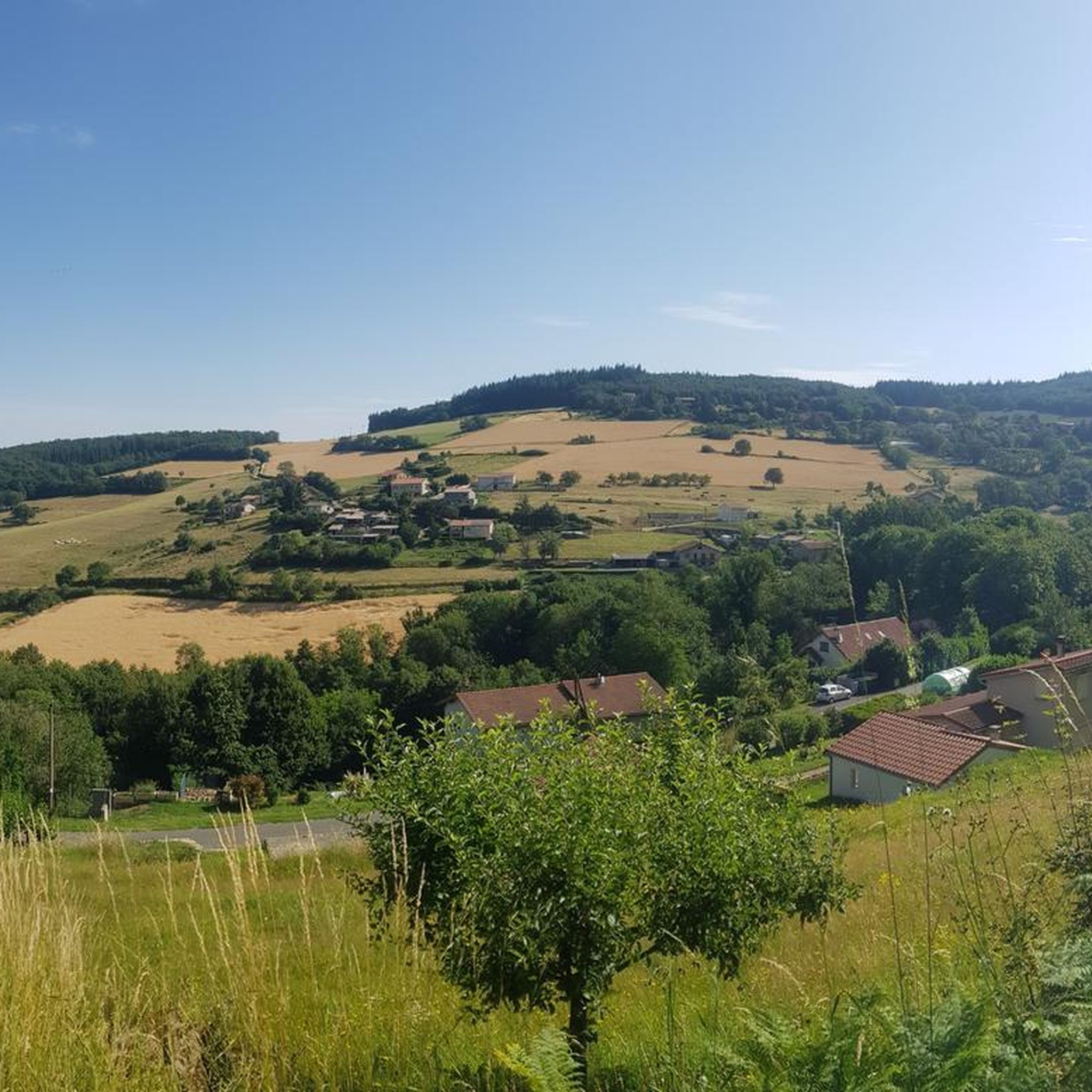
Gravel biking around Pavezin features hilly landscapes with significant elevation changes, offering routes that traverse varied terrain. The region is characterized by its network of trails that often lead through forested areas and open sections, providing diverse riding experiences. These routes frequently include climbs to cols and crosses, indicating an elevated environment. The area's topography is well-suited for gravel biking, with paths that navigate through valleys and ascend to higher points.
Best gravel bike trails around Pavezin
- The most popular…
Last updated: August 26, 2026
5.0
(7)
88
riders
111km
06:10
230m
230m
Hard gravel ride. Very good fitness required. Mostly paved surfaces. Suitable for all skill levels.
5.0
(2)
10
riders
37.2km
03:18
1,080m
1,080m
Hard gravel ride. Very good fitness required. Mostly paved surfaces. Suitable for all skill levels.

Sign up for free
4.0
(2)
6
riders
73.1km
05:34
1,660m
1,660m
Hard gravel ride. Very good fitness required. Mostly paved surfaces. Suitable for all skill levels.
5.0
(2)
4
riders
32.1km
02:47
890m
890m
Hard gravel ride. Very good fitness required. Mostly paved surfaces. Suitable for all skill levels.
4
riders
19.7km
01:39
370m
370m
Moderate gravel ride. Good fitness required. Mostly paved surfaces. Suitable for all skill levels.
Get access to more routes and recommendations from other explorers.
Sign up for free
Already have an account?
Our route recommendations are based on thousands of hikes, rides, and runs completed by other people on komoot.
Start today with a free account
Your next adventure awaits.
Login or Signup
Tips from the Community

The Col de Pavezin is certainly not the highest, but it is no less mythical. The inventor of the derailleur, Paul de Vivié, who settled here, made it an unmissable rendezvous. The pass is located between the Rhône valley and the Gier valley, and opens up a grandiose panorama of the Alps and the Rhône furrow.
0
0

Beautiful city views from the bridge. The place is worth seeing.
0
0
beautiful bridge with great views
0
0
beautiful place with some good restaurants and nice spots.
0
0

A wonderful stretch of route! The stunning scenery and excellent cycle paths make this bike tour a truly memorable experience!
0
0

The Condrieu suspension bridge spans the Rhône between the towns of Condrieu in the Rhône department and Les Roches-de-Condrieu in the Isère department. The suspension bridge consists of two spans separated by a central concrete pylon forming an arch, in which the metal suspension cables are anchored. The entrance to the bridge is marked by two concrete pylons that receive the cables on the banks. These are connected to the deck by hangers. The deck, with its metal frame and reinforced concrete cover slab, carries a two-lane, two-way roadway, bordered by sidewalks lined with guardrails. The current Condrieu bridge is the second bridge to be built at this location; it replaces an earlier structure constructed in 1832 and declared to be in very poor condition in 1929. The 1934 work was barely completed when the bridge was closed in June 1940 due to an act of war. A cable ferry was put back into service to restore the river crossing. In spring 2025, due to structural weaknesses, the bridge was closed to traffic for several months while new cables were installed and reinforcement work was carried out.
1
0


Very rocky, it hits your legs hard and for a long time Half sunny - half shaded A bit steep, you'll have to pedal to pick up speed In conclusion, very pleasant, but very physical when you want to set a time trial
0
0
Frequently Asked Questions
What is the general difficulty level of gravel biking trails around Pavezin?
The gravel biking trails around Pavezin are predominantly challenging, with 11 out of 12 routes rated as difficult. These routes often feature significant elevation changes and varied terrain, including climbs to cols and crosses. There is one moderate route available for those seeking a slightly less strenuous option.
Are there any family-friendly gravel biking routes in Pavezin?
While most routes in Pavezin are rated as difficult, there is one moderate option that might be more suitable for families or those looking for a less intense ride: the Madonne de la Croix-Régis – Régis Cross loop from Échalas. This 17.7 km route offers a good introduction to the region's gravel paths without the extreme challenges of the difficult trails.
What are the typical distances for gravel bike trails in Pavezin?
Gravel bike trails in Pavezin vary in length, generally ranging from around 17.7 km to over 38 km. For example, the moderate Madonne de la Croix-Régis – Régis Cross loop from Échalas is 17.7 km, while longer, more challenging routes like the Boutonne Viaduct – Saint Didier loop from Rive-de-Gier extend to 38.4 km.
Are there any circular gravel routes available in Pavezin?
Yes, many of the gravel biking routes in Pavezin are designed as loops, allowing you to start and finish in the same location. Examples include the Wide track on the heights – Col de la Croix du Planil loop from La Terrasse-sur-Dorlay and the Sainte-Croix-en-Jarez – Montvieux Cross loop from Sainte-Croix-en-Jarez.
What kind of viewpoints or natural landmarks can I expect to see along the gravel trails?
The Pavezin region is characterized by its hilly landscapes and elevated terrain, offering numerous viewpoints. You can expect to encounter significant peaks and mountain passes. Notable highlights include Crêt de l'Œillon, The Three Teeth, and the Col de l'Œillon (1233 m), which often provide panoramic views of the surrounding area.
What do other gravel bikers enjoy most about the trails in Pavezin?
The gravel biking experience in Pavezin is highly rated by the komoot community, with an average score of 4.4 stars from over 10 reviews. Riders often praise the challenging climbs, varied forest paths, and open sections that offer significant elevation changes and rewarding views.
Are there any specific routes recommended for advanced gravel bikers?
Advanced gravel bikers will find plenty of challenging options in Pavezin, as most routes are rated difficult. A particularly demanding route is the Col de l'Œillon (1233 m) – Montvieux Cross loop from Croix-de-Montvieux, which is 38.1 km long and leads through elevated landscapes, often taking over 3 hours to complete.
When is the best time of year to go gravel biking in Pavezin?
Pavezin's hilly and forested terrain is enjoyable across multiple seasons. Spring and autumn offer pleasant temperatures and beautiful scenery, with changing foliage in the fall. Summer can also be good, especially in the shaded forest sections, but be prepared for warmer weather on exposed climbs. Winter conditions can bring snow and ice, making some trails impassable or requiring specialized gear.
What are the winter conditions like for gravel biking in Pavezin?
During winter, Pavezin's elevated landscapes can experience snow and ice, particularly on higher passes and shaded forest paths. While some routes might still be accessible, conditions can be challenging and may require fat bikes or studded tires. It's advisable to check local weather forecasts and trail conditions before heading out in winter.
Are there any historical or religious sites to see along the routes?
Yes, the region offers some points of interest with historical or religious significance. For instance, the Chapel of the Virgin at Mont Monnet is a notable highlight that can be found near some of the trails, offering a cultural stop amidst your ride.
How many gravel bike trails are there in Pavezin?
There are over 10 gravel bike trails available around Pavezin, offering a variety of experiences for different skill levels, though most are geared towards experienced riders due to their challenging nature.
Most popular attractions around Pavezin

Get inspired with the komoot mobile app


Explore more
Browse the best Gravel rides in other regions.
