The best gravel rides around Saint-Genis-L'Argentière
4.5
(3)
12
riders
8
rides
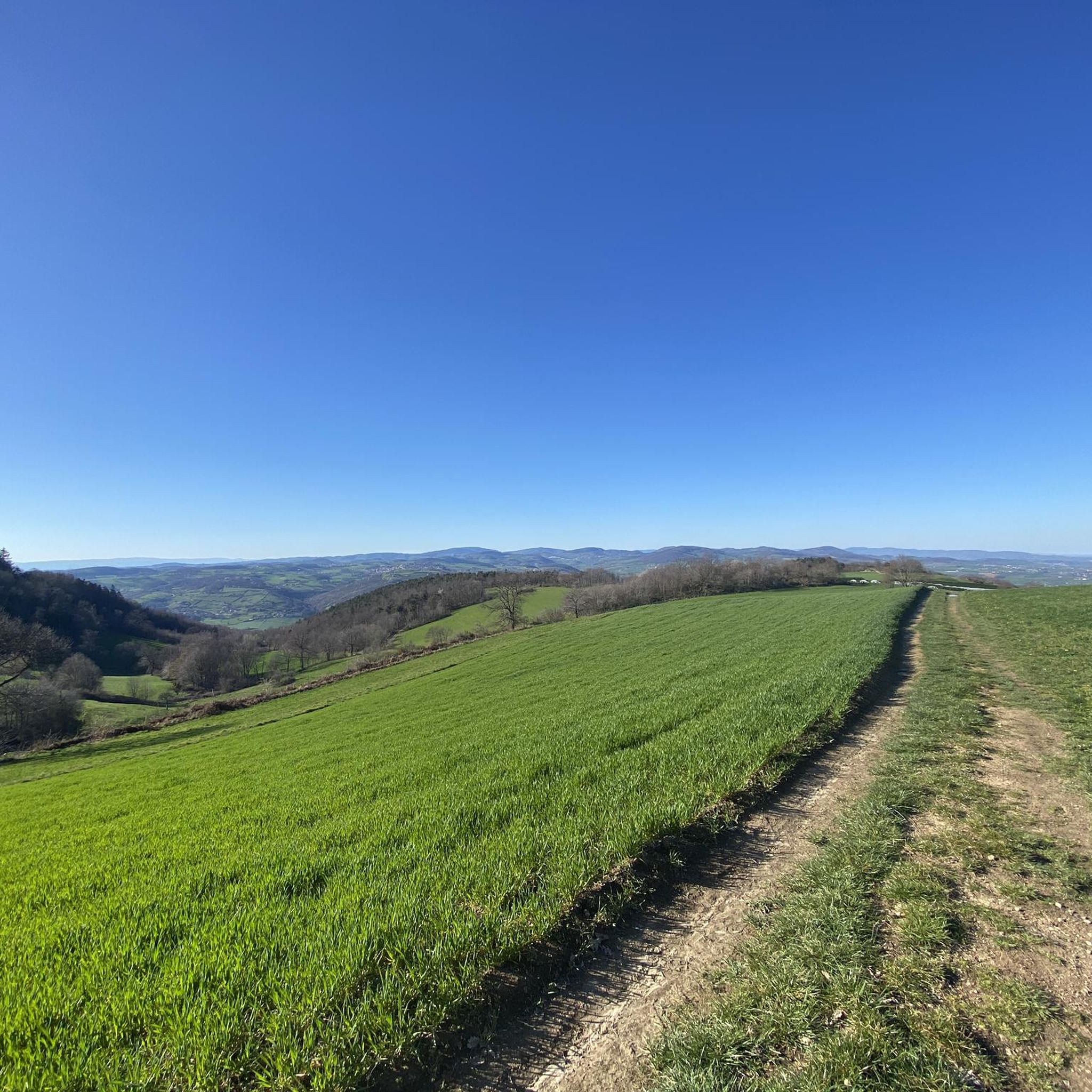
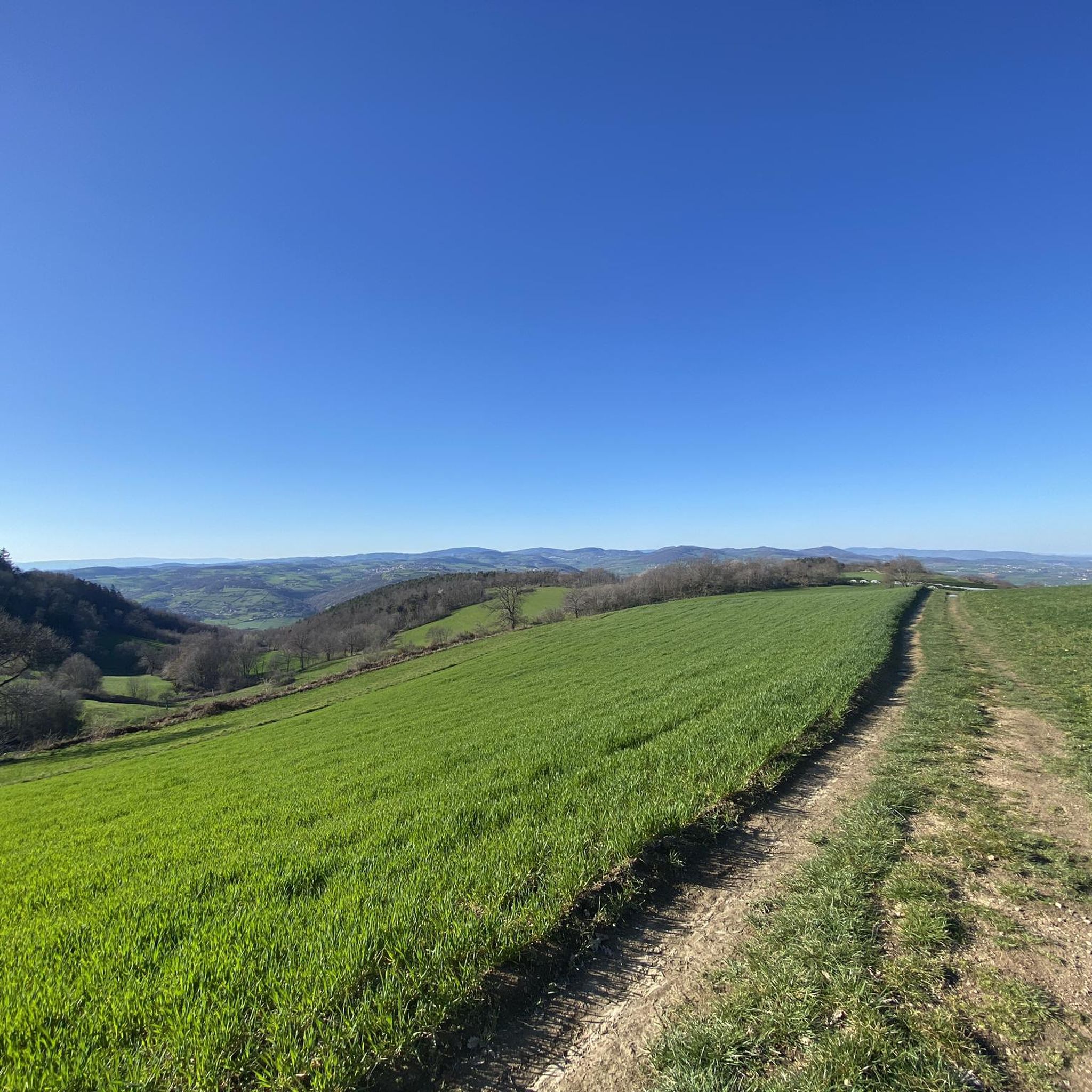
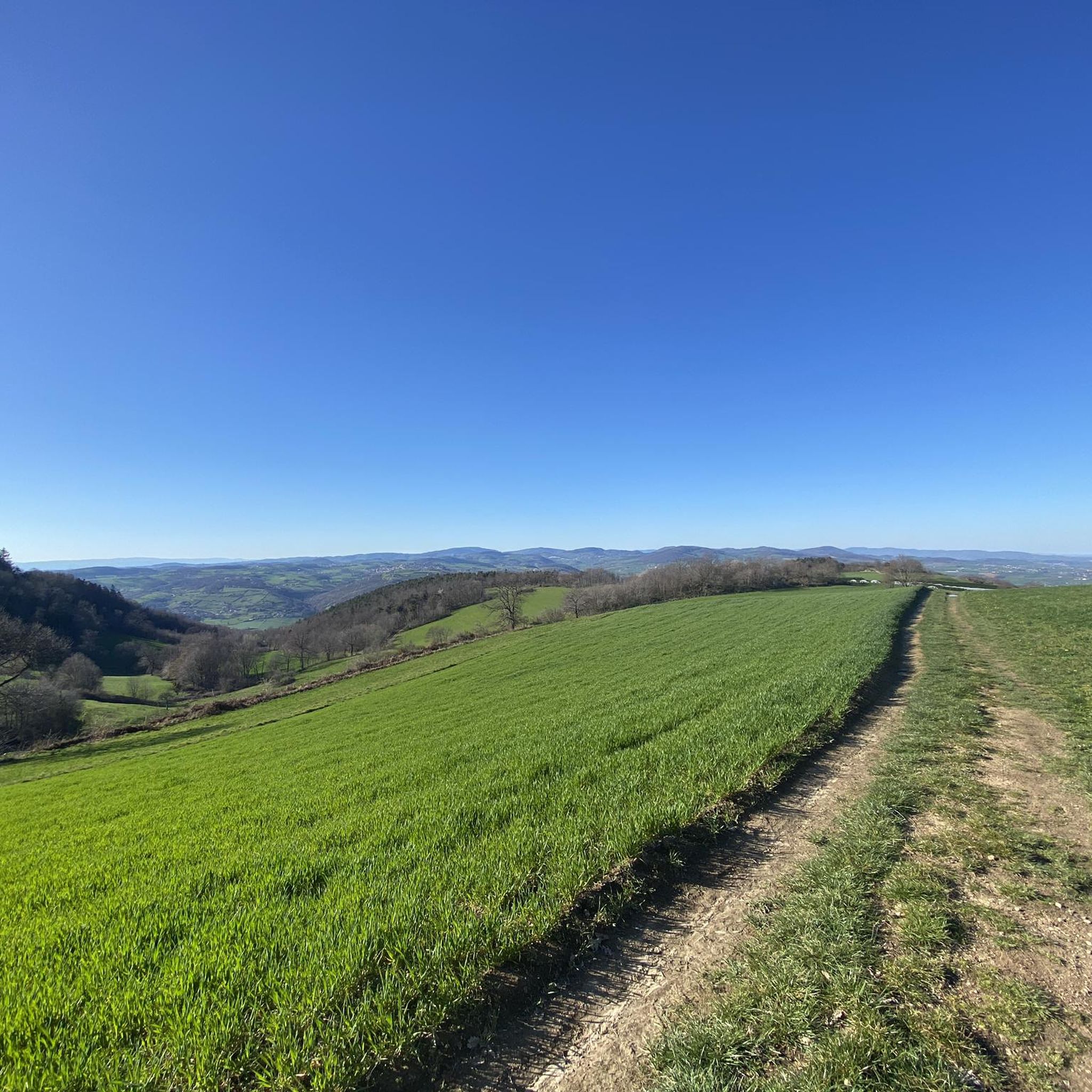
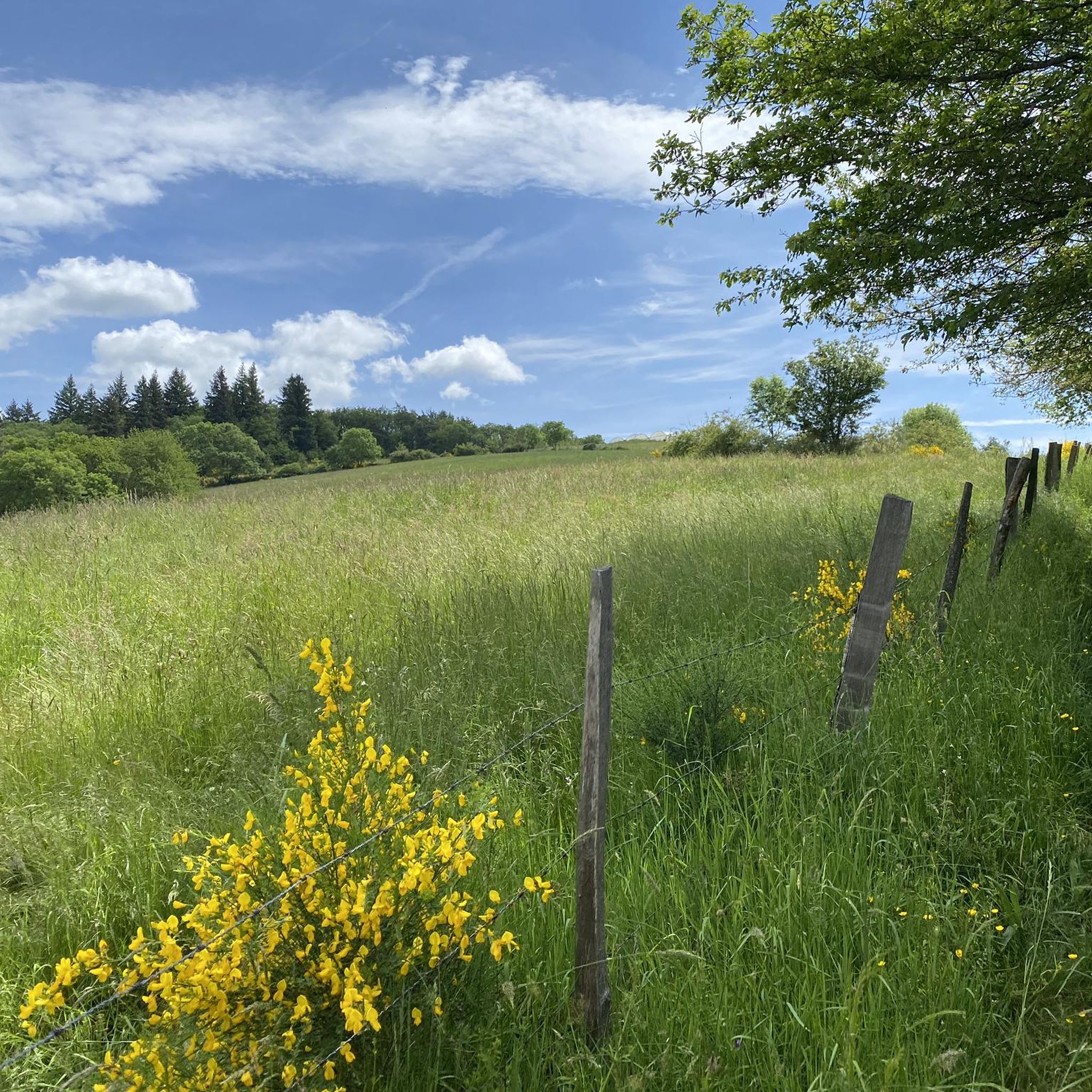
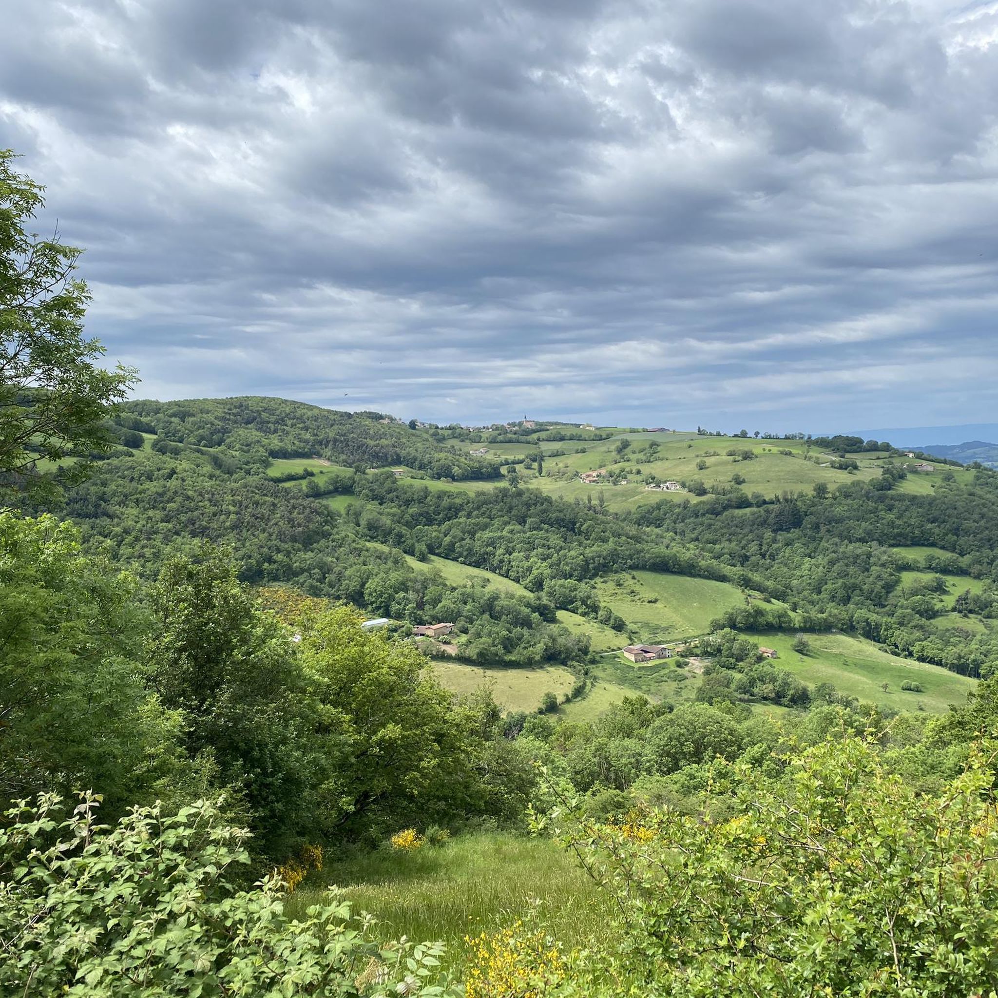
Gravel biking around Saint-Genis-L'Argentière is characterized by the undulating, hilly landscapes of the Monts du Lyonnais, a low mountain massif in the Auvergne-Rhône-Alpes region of France. The terrain offers a diverse mix of unpaved paths, forest tracks, and trails, suitable for gravel bikes. Riders encounter a variety of landscapes, including valleys, meadows, and dense forests, with routes often featuring significant elevation gains. This region provides a varied experience for cyclists seeking diverse natural environments.
Best gravel bike trails around Saint-Genis-L'Argentière
…Last updated: July 2, 2026
5.0
(2)
2
riders
Hard gravel ride. Very good fitness required. Mostly paved surfaces. Suitable for all skill levels.
1
riders
10.6km
00:52
270m
280m
Moderate gravel ride. Good fitness required. Mostly paved surfaces. Suitable for all skill levels.

Sign up for free
4.0
(1)
3
riders
Hard gravel ride. Very good fitness required. Mostly paved surfaces. Suitable for all skill levels.
1
riders
Hard gravel ride. Good fitness required. You may need to push your bike for some segments of this route.
1
riders
20.4km
01:38
480m
480m
Hard gravel ride. Very good fitness required. Mostly paved surfaces. Suitable for all skill levels.
Get access to more routes and recommendations from other explorers.
Sign up for free
Already have an account?
Our route recommendations are based on thousands of hikes, rides, and runs completed by other people on komoot.
Start today with a free account
Your next adventure awaits.
Login or Signup
Tips from the Community

Beautiful body of water
0
0

32 km without elevation gain, varied, without any effort
0
0

Picnic area, with toilets, water, tables and shelters
0
0

Explore the Chapelle Saint-Bonnet, a historic treasure located between Saint-Clément-les-Places and Saint-Laurent-de-Chamousset. Dating from the 7th century and dedicated to Saint Bonnet, this captivating site features a unique Carolingian capital. An enriching stop on the Voie d’Aquitaine, ideal for history and hiking enthusiasts.
0
0

Nice little paths in the undergrowth with small bumps to take off the mountain bikes with the children.
0
0

Path bordered by a river and greenery which makes it quite pleasant to walk for those who enjoy walks far from the noise of cars. Mainly flat, watch out for a few runners and walkers in the afternoon.
0
0

Frequently Asked Questions
What kind of terrain can I expect on gravel bike trails around Saint-Genis-L'Argentière?
The Monts du Lyonnais, where Saint-Genis-L'Argentière is located, offers a diverse and undulating landscape. You'll encounter a mix of unpaved paths, forest tracks, and trails, with sections of thick undergrowth, open meadows, and both singletracks and wider paths. The region is known for its hilly terrain, providing varied experiences for gravel cyclists.
Are there gravel bike trails suitable for beginners or those looking for an easier ride?
Yes, while many routes are challenging, there are options for moderate ability levels. For example, the Gravel loop from Aveize is a moderate 6.6-mile (10.6 km) trail that takes about 51 minutes to complete, leading through hilly landscapes and open meadows.
What are some of the more challenging gravel bike routes in the area?
For experienced riders, the region offers several difficult routes. A notable challenging option is The fall of the Conan – Col de la Croix de Mazieux loop from La Rochette, a 29.9-mile (48.1 km) trail with over 3,500 feet (1,089 m) of elevation gain through varied terrain.
What kind of views and natural features can I expect to see on these rides?
The Monts du Lyonnais offers breathtaking panoramic views, including distant glimpses of the majestic Alps and even Mont Blanc on clear days. You'll ride through a mosaic of landscapes, including mountains, valleys, meadows, undergrowth, and dense forests, ensuring a constantly changing backdrop.
Are there any interesting landmarks or historical sites along the gravel routes?
Yes, the routes often incorporate elements of the region's rich history. You might encounter vestiges of Roman aqueducts that once supplied water to ancient Lyon. Additionally, you can explore highlights like the Saint-Bonnet-le-Froid Castle and Church or the scenic Lac du Ronzey, which are near some of the trails.
What do other gravel bikers say about the trails around Saint-Genis-L'Argentière?
The routes in Saint-Genis-L'Argentière are highly rated by the komoot community, with an average score of 5.0 stars from over 4 reviews. Many praise the varied terrain and the rewarding panoramic views, especially from the rolling hills of the Monts du Lyonnais.
Are there any circular gravel bike routes available?
Yes, many of the gravel routes are designed as loops. For instance, the Col des Brosses – Saint-Martin-en-Haut loop from Saint-Martin-en-Haut is a popular moderate 13.7-mile (22.0 km) path offering a mix of ascents and descents with panoramic views.
Is Saint-Genis-L'Argentière a good destination for family-friendly gravel biking?
While many routes feature significant elevation, the region's extensive network includes paths that can be adapted for families. Look for shorter, moderate routes like the Gravel loop from Aveize, which offers a taste of the hilly landscapes in a more manageable distance.
What is the best time of year for gravel biking in the Monts du Lyonnais?
The Monts du Lyonnais is generally pleasant for gravel biking from spring through autumn. These seasons offer milder temperatures and vibrant natural scenery. While winter riding is possible, be prepared for colder conditions and potentially muddy or icy sections on unpaved paths.
Are there places to stop for refreshments or accommodation along the routes?
The cycling routes often connect picturesque villages throughout the Monts du Lyonnais. These villages provide opportunities to experience local life and access amenities such as cafes, pubs, and accommodation, allowing for convenient breaks during your ride.
Are there any specific permits required for gravel biking in this region of France?
Generally, no specific permits are required for gravel biking on public paths and trails in the Monts du Lyonnais. However, always respect private property signs and local regulations, especially when passing through agricultural areas or private forests.
Where can I find parking for my gravel bike adventures in Saint-Genis-L'Argentière?
Parking is typically available in or near the villages that serve as starting points for many routes, such as Saint-Genis-L'Argentière itself, La Rochette, or Saint-Martin-en-Haut. Look for designated public parking areas in these towns.
Can I reach the gravel biking areas by public transport?
While Saint-Genis-L'Argentière is nestled in a rural area, public transport options, primarily bus services, connect it to larger towns like Lyon. However, direct access to specific trailheads might require additional planning or a short ride from the nearest public transport stop. Checking local bus schedules is recommended.
Most popular routes around Saint-Genis-L'Argentière
Most popular attractions around Saint-Genis-L'Argentière

Get inspired with the komoot mobile app


Explore more
Browse the best Gravel rides in other regions.
