The best walks and hikes around Bannegon
4.4
(18)
95
hikers
13
hikes
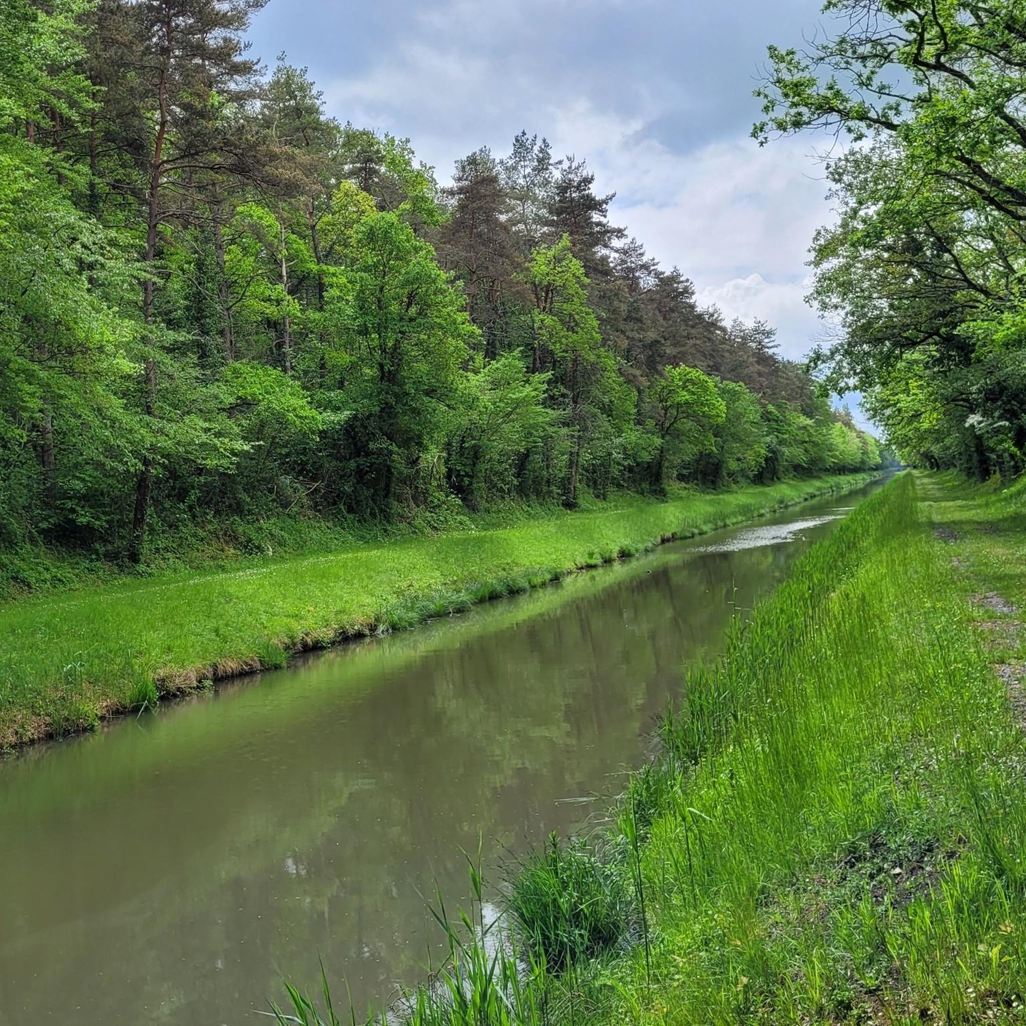
Hiking around Bannegon offers routes through a landscape characterized by its waterways and proximity to significant natural areas. The historic Canal de Berry, with its former towpaths, provides generally flat terrain suitable for walking, often lined with trees and featuring views of the surrounding countryside and canal locks. The Auron and Sagonin rivers also contribute to the riparian landscapes of the area. Nearby, the Étang de Goule offers additional trails around its lake, and the wider region includes the diverse…
Last updated: July 2, 2026
2
hikers
11.2km
02:54
80m
80m
Moderate hike. Good fitness required. Easily-accessible paths. Suitable for all skill levels.
4.4
(9)
45
hikers
6.17km
01:34
20m
20m
Easy hike. Great for any fitness level. Easily-accessible paths. Suitable for all skill levels.

Sign up for free
4.4
(9)
43
hikers
7.25km
01:51
20m
20m
Easy hike. Great for any fitness level. Easily-accessible paths. Suitable for all skill levels.
2
hikers
17.8km
04:36
100m
100m
Moderate hike. Good fitness required. Easily-accessible paths. Suitable for all skill levels.
3
hikers
15.4km
03:57
70m
70m
Moderate hike. Good fitness required. Easily-accessible paths. Suitable for all skill levels.
Get access to more routes and recommendations from other explorers.
Sign up for free
Already have an account?
Our route recommendations are based on thousands of hikes, rides, and runs completed by other people on komoot.
Start today with a free account
Your next adventure awaits.
Login or Signup


Tips from the Community

The equipped beach of this pond calls for swimming, especially after a good walk.
1
0


Nice place to stay in a renovated farm. Modern tasteful rooms, friendly owners, good breakfast.
0
0
Delicious food! And super friendly.
0
0

10 minutes walk from "Le Matou Roux" there is a restaurant, the "Le Relais de Pirot", with a bar. The restaurant offers excellent food and opens in the evening from 19:00. The bar is already open in the morning.
0
0
Address "Le Matou Roux", L'Huilerie 03360 Isle-et-Bardais (GPS N 046 ° 41.351, E 02 ° 47.324) Tel .: +33 6 02 68 46 90; Mail: lematouroux.fr@gmail.com; the owner is extremely helpful, Dutch and also speaks German and English. The modern rooms are cozy and the breakfast leaves nothing to be desired.
0
0
Frequently Asked Questions
How many hiking trails are there in Bannegon?
Bannegon offers a selection of 9 hiking routes, catering to various preferences. These include 5 easy trails and 4 moderate options, ensuring there's something for every skill level.
What kind of terrain can I expect on hikes around Bannegon?
The hiking terrain around Bannegon is diverse, characterized by the historic Canal de Berry's former towpaths, which offer generally flat and accessible routes. You'll also find riparian landscapes along the Auron and Sagonin rivers, and varied terrain around the nearby Étang de Goule. The wider region, including the Parc naturel régional de la Brenne, features lakes, marshes, forests, and meadows.
Are there any easy, family-friendly hikes in Bannegon?
Yes, Bannegon has several easy trails perfect for families. A popular choice is the Étang de Goule and Its Beach loop from Le Village de Goule, an easy 3.8-mile (6.2 km) path that circles the lake with minimal elevation changes, offering picturesque views. Another easy option is the Étang de Goule and Its Beach loop from Valigny, which is 7.2 km long.
Can I bring my dog on the trails in Bannegon?
Many of the trails in the Bannegon area, particularly the former towpaths along the Canal de Berry, are suitable for walks with dogs. These paths offer generally flat terrain and scenic views. Always ensure your dog is under control and check for any specific local regulations or signage regarding pets, especially around nature reserves like Étang de Goule.
Are there circular hiking routes available?
Yes, many of the hiking routes around Bannegon are designed as loops, allowing you to start and end at the same point. For example, the popular From hiking to swimming — loop from Bessais-Le-Fromental is a 6.9-mile (11.2 km) circular trail. Another option is the Étang de Goule and Its Beach loop from Le Village de Goule, a moderate 9.8 km loop.
Where can I find hikes with water features or lakes?
Bannegon is characterized by its waterways. You can enjoy walks along the historic Canal de Berry, which offers tranquil paths. The nearby Étang de Goule is a significant natural attraction with several hiking trails around the lake, such as the Étang de Goule and Its Beach loop from Le Village de Goule. The Auron and Sagonin rivers also contribute to the lush, riparian landscapes in the area.
What interesting landmarks or attractions can I see while hiking near Bannegon?
While hiking near Bannegon, you can explore several historical and natural landmarks. Consider visiting the Remains of the Jouy keep or the impressive Sagonne Castle. For a glimpse into ancient history, the Roman road in Corneau wood is also accessible. The Étang de Goule itself is a notable natural attraction, offering picturesque views and diverse flora and fauna.
What do other hikers enjoy about the trails in Bannegon?
The trails around Bannegon are highly rated by the komoot community, with an average score of 4.4 stars from over 10 reviews. Hikers often praise the serene environment, the accessibility of the canal towpaths, and the scenic beauty around Étang de Goule. The variety of routes, from easy strolls to more extended moderate hikes, is also frequently appreciated.
Is there parking available near the trailheads?
While specific parking details for every trailhead are not always listed, Bannegon is a small commune, and parking is generally available in or near the villages that serve as starting points for many routes. For trails around Étang de Goule, designated parking areas are typically provided for visitors to the lake.
What is the best time of year to hike in Bannegon?
The best time to hike in Bannegon is generally during the spring, summer, and early autumn months. Spring offers pleasant temperatures and blooming landscapes, while summer allows for enjoyment of the waterways and lakes. Autumn brings beautiful foliage. Winters can be chilly, but the flat towpaths might still be accessible for walks.
Are there places to eat or stay near the hiking trails in Bannegon?
Yes, Bannegon and its surrounding villages offer options for refreshments and accommodation. The Bed & Breakfast 'Le Matou Roux loop from Valigny route, for instance, suggests that B&Bs are available in the area. You can find local cafes, pubs, and restaurants in Bannegon village or nearby towns, providing places to refuel after your hike.
Most popular attractions around Bannegon

Get inspired with the komoot mobile app


Explore more
Browse the best Hikes in other regions.
