The best walks and hikes around Citey
5.0
(10)
124
hikers
34
hikes
Hiking around Citey, a small commune in the Haute-Saône department of Bourgogne-Franche-Comté, offers opportunities to explore the French countryside. The area features a modest elevation ranging from approximately 650 to 843 feet (198 to 257 meters) above sea level, contributing to varied terrain. While not a primary destination for extensive hiking, the region provides peaceful routes through its natural surroundings.
Best hiking trails around Citey
- The most popular hiking route is Grasslands loop, a 7.5 miles (12.1 km) trail…
Last updated: July 2, 2026
19
hikers
11.0km
03:07
240m
240m
Moderate hike. Good fitness required. Easily-accessible paths. Suitable for all skill levels.
5.0
(1)
3
hikers
4.32km
01:16
120m
120m
Easy hike. Great for any fitness level. Easily-accessible paths. Suitable for all skill levels.

Sign up for free
4
hikers
9.70km
02:41
170m
180m
Moderate hike. Good fitness required. Easily-accessible paths. Suitable for all skill levels.
2
hikers
6.75km
01:55
160m
160m
Easy hike. Great for any fitness level. Easily-accessible paths. Suitable for all skill levels.
4
hikers
9.63km
02:40
170m
170m
Moderate hike. Good fitness required. Easily-accessible paths. Suitable for all skill levels.
Get access to more routes and recommendations from other explorers.
Sign up for free
Already have an account?
Our route recommendations are based on thousands of hikes, rides, and runs completed by other people on komoot.
Start today with a free account
Your next adventure awaits.
Login or Signup

Frequently Asked Questions
How many hiking trails are available around Citey?
There are over 40 hiking routes available around Citey, offering a variety of experiences through the local countryside. These include options for different ability levels, from shorter, easier walks to moderate, longer routes.
What kind of terrain can I expect on hikes near Citey?
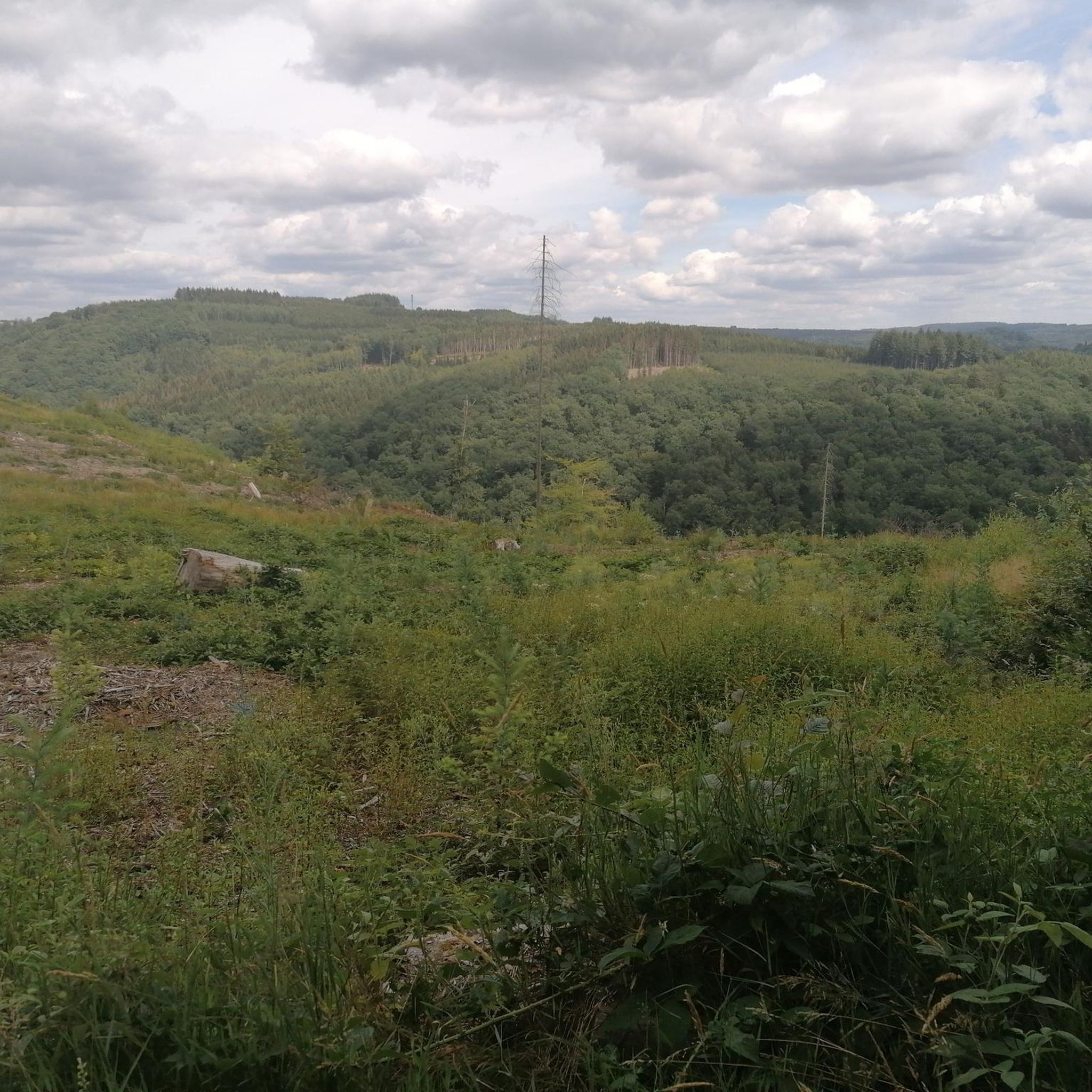
Hikes near Citey feature varied terrain with modest elevations ranging from approximately 650 to 843 feet (198 to 257 meters) above sea level. You can expect gentle hills, open fields, and rural pathways, providing a peaceful exploration of the French countryside.
Are there easy hiking trails suitable for beginners around Citey?
Yes, there are several easy hiking trails around Citey. For example, the Saint-Symphorien Church of Gy loop from Gy is a 2.7-mile (4.3 km) trail that takes about 1 hour 15 minutes to complete, leading through the local village and its immediate surroundings.
Are there more challenging hikes for experienced hikers?
While Citey is known for its generally gentle terrain, there are a few routes that offer a bit more challenge. The area includes 2 routes classified as difficult, and 31 as moderate, providing options for those seeking longer distances or more elevation gain within the region's characteristic landscape.
Are there circular hiking routes near Citey?
Yes, many of the trails around Citey are circular routes, perfect for exploring without retracing your steps. Popular options include the Grasslands loop and the Gy Castle – Saint-Symphorien Church of Gy loop from Gy, which offer varied scenery and points of interest.
What do other hikers say about the trails around Citey?
The hiking routes in Citey are highly rated by the komoot community, with an average score of 4.9 stars from 9 reviews. Over 120 hikers have used komoot to explore the varied terrain, often praising the peaceful rural pathways and open fields.
Can I bring my dog on hikes around Citey?
Generally, dogs are welcome on trails in rural France, especially on public footpaths. However, it's always advisable to keep your dog on a leash, particularly when passing through agricultural areas or near livestock. Specific restrictions may apply in certain protected natural areas, though none are prominently highlighted directly within Citey.
Are there family-friendly hiking options in Citey?
Citey's gentle hills and shorter routes make it suitable for family outings. Easy trails like the Saint-Symphorien Church of Gy loop from Gy are ideal for families looking for a pleasant walk through the village and its surroundings.
What interesting landmarks or attractions can I see near Citey?
While hiking around Citey, you can explore several nearby points of interest. These include the historic Château de Frasne-le-Château, the serene Notre-Dame du Calvaire Chapel, and the charming Oiselay-et-Grachaux Village Highlights. These offer a glimpse into the local heritage and architecture.
Is there public transport access to hiking trailheads near Citey?
Citey is a small commune with limited public transport options directly to trailheads. It is generally recommended to access the hiking routes by car, as this provides the most flexibility for reaching various starting points in the surrounding rural area.
Where can I find parking for hiking trails in Citey?
As Citey is a small rural area, parking for hiking trails is typically available in or near the village centers, or at designated starting points for specific routes. It's advisable to check local signage or use komoot's route planner for specific parking suggestions at your chosen trailhead.
What is the best time of year to hike around Citey?
The best time to hike around Citey is generally during spring, summer, and early autumn. These seasons offer pleasant weather for exploring the open fields and rural pathways. Spring brings blooming wildflowers, while autumn showcases colorful foliage. Winters can be cold and potentially snowy, which might limit hiking opportunities.
Are there any less crowded hiking routes around Citey?
Given Citey's modest size and its status as a less-known hiking destination, most routes tend to be less crowded than those in more popular regions. This allows for a peaceful and tranquil hiking experience, especially on trails that venture further into the open countryside away from the main villages.
Most popular attractions around Citey

Get inspired with the komoot mobile app


Explore more
Browse the best Hikes in other regions.
