The best gravel rides around Verdigny
4.0
(7)
25
riders
5
rides
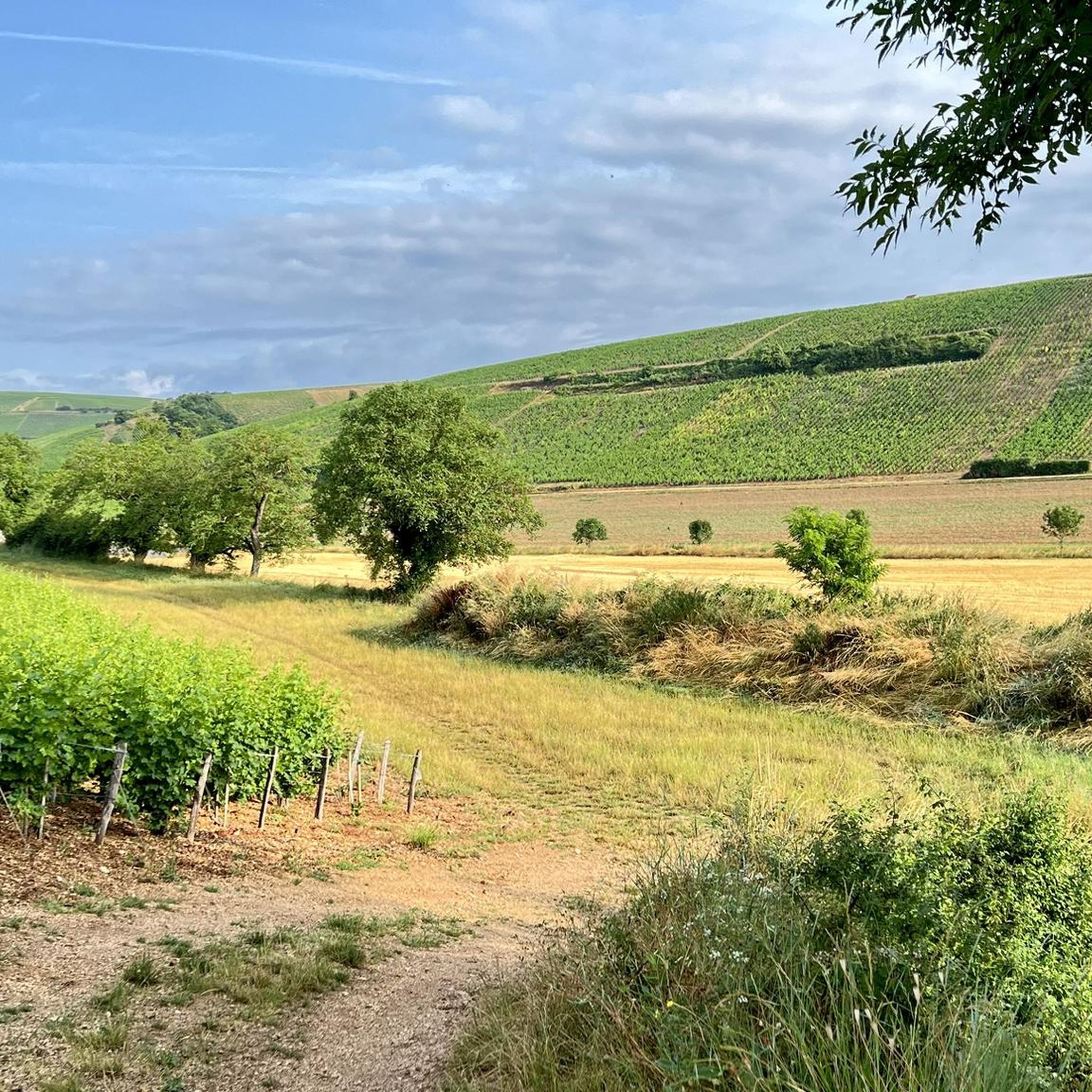
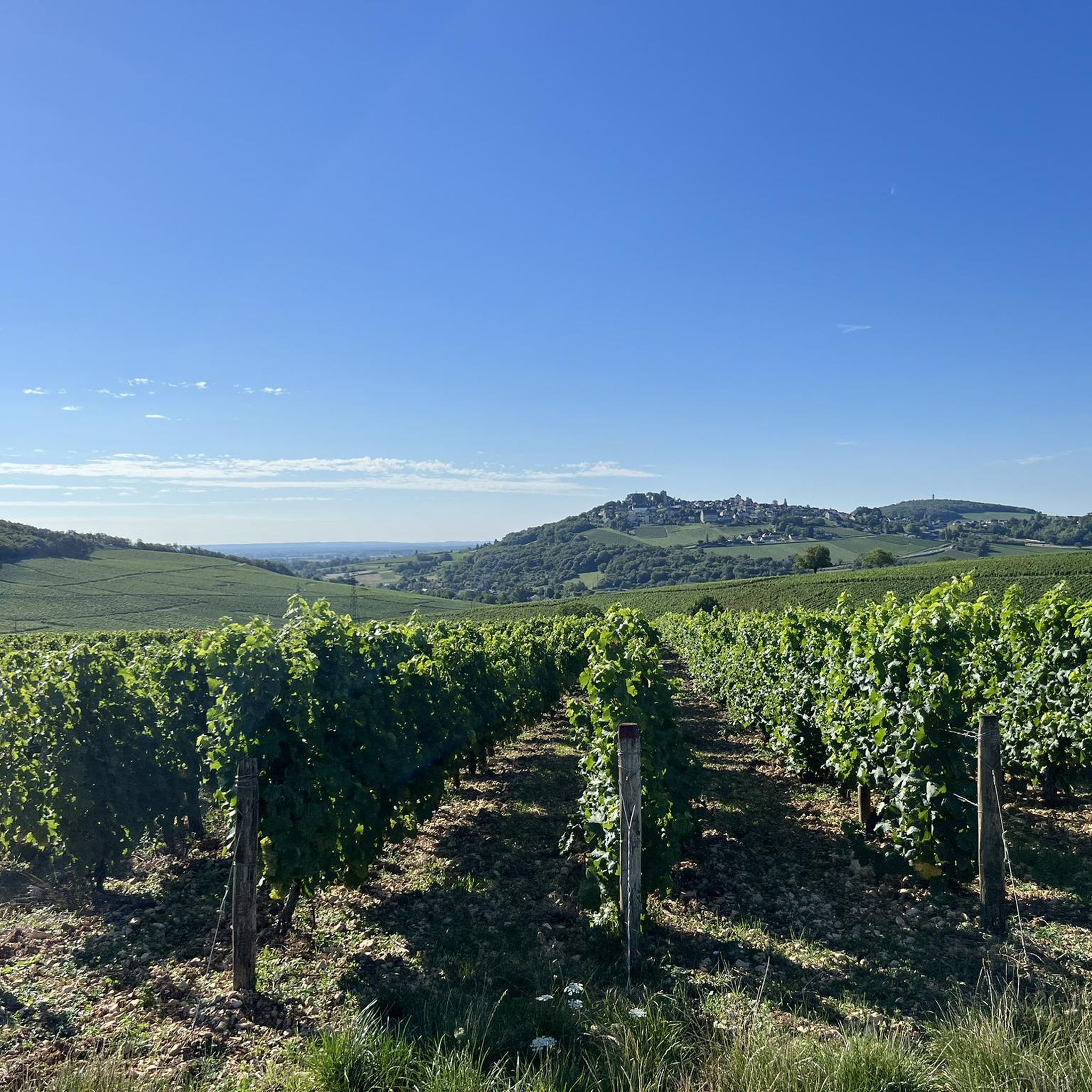
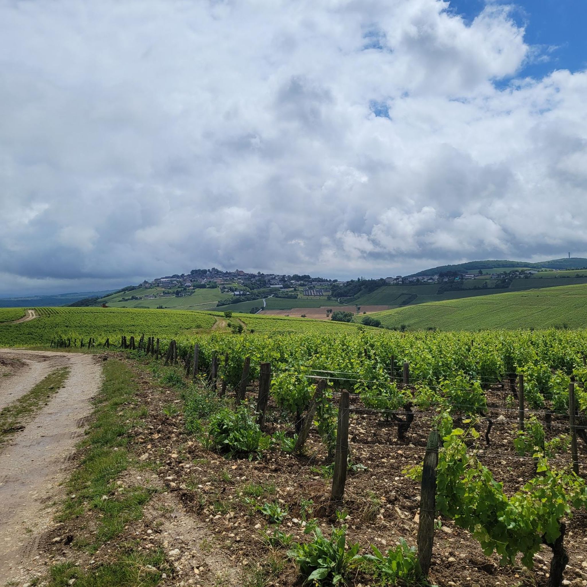
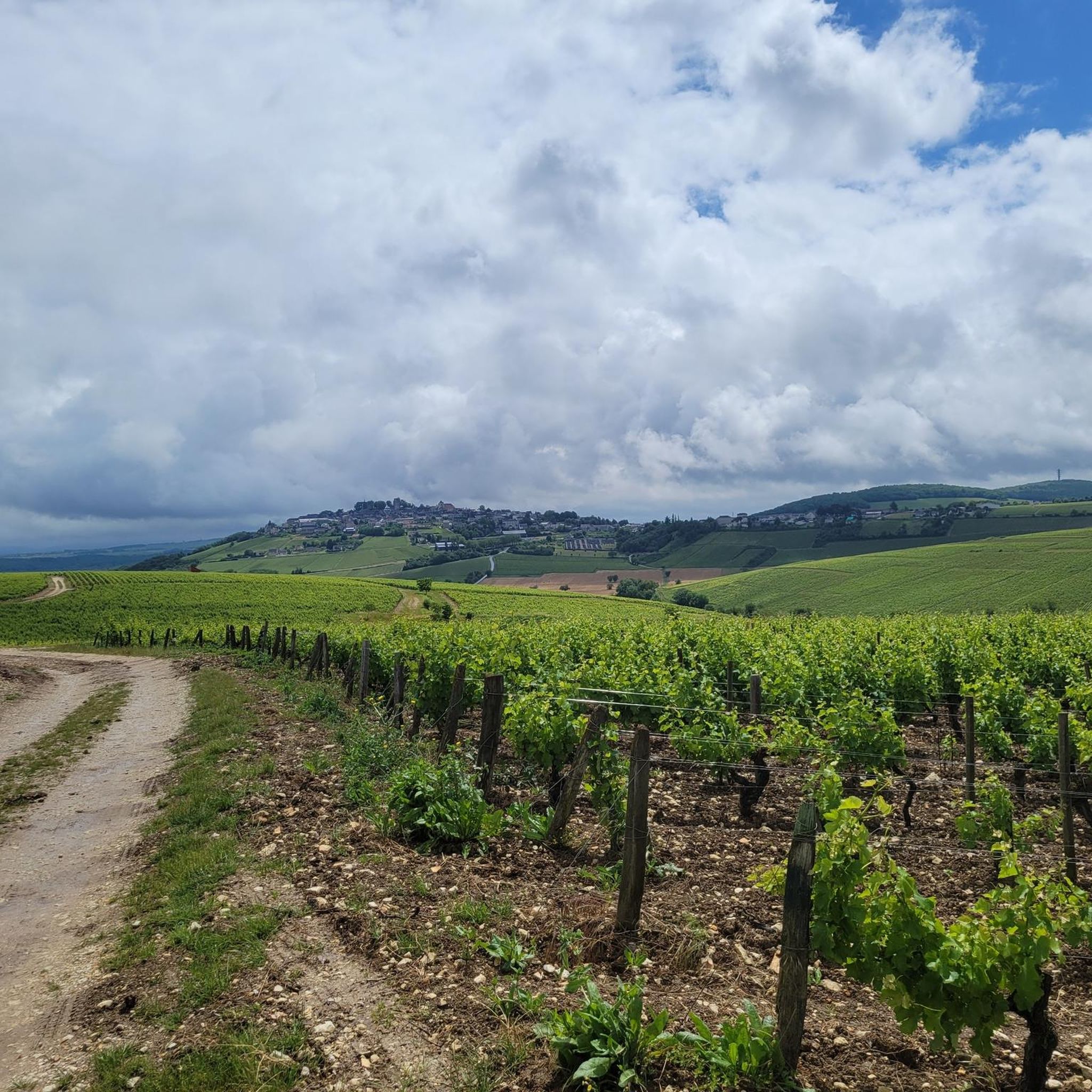
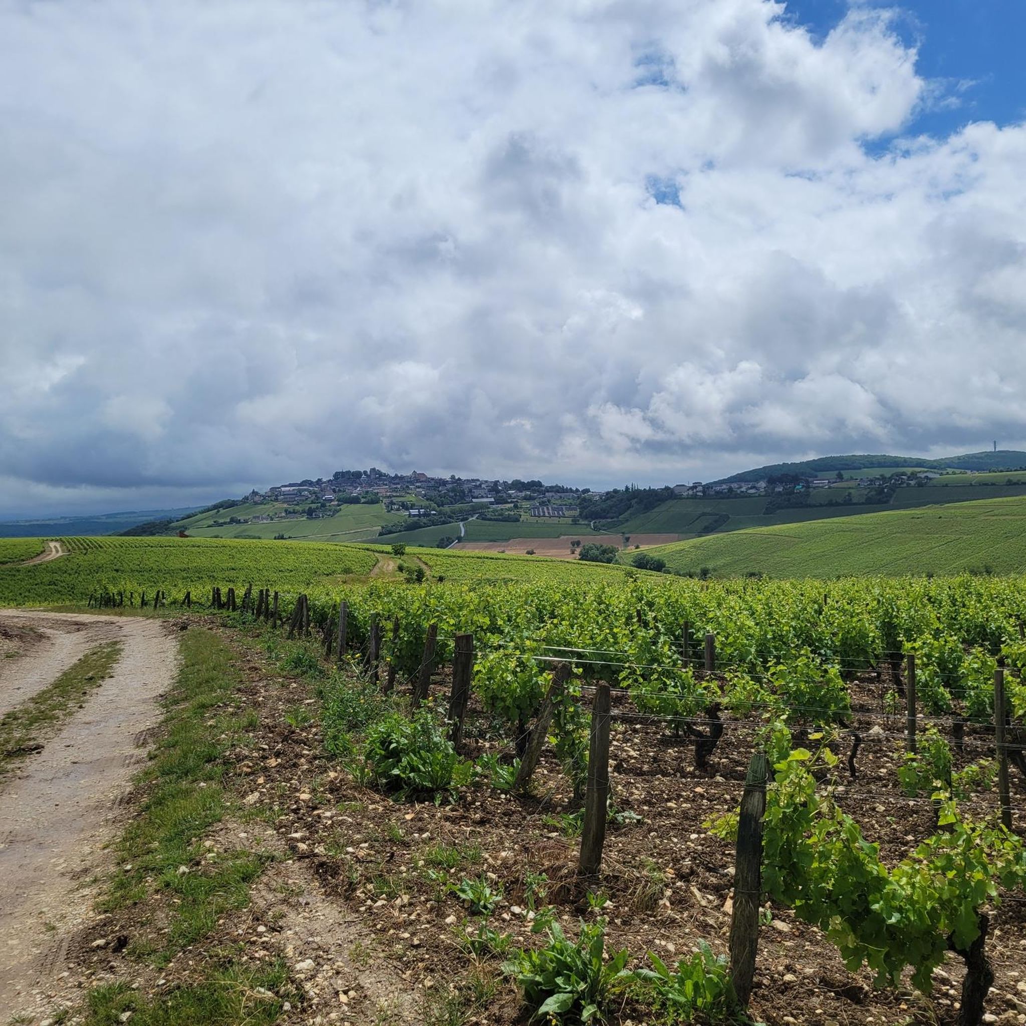
Gravel biking around Verdigny offers routes through the picturesque Sancerre vineyards and undulating terrain of the Cher department in France. The region features a mix of countryside and vineyards, with altitudes ranging from 594 feet (181 m) to 1,122 feet (342 m). Riders can expect diverse surfaces, including "Falun tracks" made from fine white limestone, sandy forest trails, and paved country lanes, providing varied conditions for gravel cycling. This landscape, influenced by its proximity to the Loire Valley, presents a…
Last updated: July 2, 2026
4.7
(3)
12
riders
43.4km
02:59
630m
630m
Hard gravel ride. Very good fitness required. Mostly paved surfaces. Suitable for all skill levels.
4.0
(1)
5
riders
34.4km
02:38
580m
580m
Hard gravel ride. Very good fitness required. Mostly paved surfaces. Suitable for all skill levels.

Sign up for free
2.5
(2)
2
riders
20.0km
01:19
230m
230m
Moderate gravel ride. Good fitness required. Mostly paved surfaces. Suitable for all skill levels.
1
riders
41.3km
03:19
700m
700m
Hard gravel ride. Very good fitness required. Mostly paved surfaces. Suitable for all skill levels.
2
riders
44.1km
02:54
520m
520m
Hard gravel ride. Very good fitness required. Mostly paved surfaces. Suitable for all skill levels.
Our route recommendations are based on thousands of hikes, rides, and runs completed by other people on komoot.
Start today with a free account
Your next adventure awaits.
Login or Signup
Tips from the Community

In the proverbial "good old days," this (former) windmill, prominently positioned on the hill and clearly visible from afar, must have made a profound impression on the viewer. However, this changed long ago: Only the ruined remains of the once proudly towering tower with its once sweeping wings remain as a sad testament to that bygone era. Today's visitors probably enjoy less the sight of the ruins than—at least in good weather—the beautiful view of the wide plains that unfold before them.
1
0

It's not uncommon to find a Monument aux Morts in the immediate vicinity of the local church, which here boasts a very defensive-looking facade – the church's two massive, round towers could easily be imagined as part of a castle's fortifications. These monuments, found in almost every town, still serve an important dual function in the 21st century: They keep the memory of the victims of war and tyranny alive and thus serve as a constant reminder of peace.
0
0
Only the two wooden beams form a cross in its simplest form. And yet, this small, sacred monument—like all crosses encountered by bikers along the way—is an essential Christian symbol. It stands for the memory of his crucifixion, but at the same time also for the resurrection of Jesus Christ. The important founder of the order, Bernard of Clairvaux, said: + "With us on earth, there is His memory, but in the kingdom of heaven is His presence: This presence is the joy of those who have already attained salvation. The memory is our consolation, as we are still wanderers, traveling toward the Fatherland."
0
0
It is presumably a former "chemin de halage" (in German "treidelpfad" or "leinpfad"), which runs alongside the canal's bed. In earlier times, such a path was an essential part of the transport infrastructure. Before ships could be powered by motors, horses walked along the bank, pulling the boat against the current. This was called "treideln" (pulling), and this is how the towpaths got their name, which has been passed down to this day. Where these paths, which run close to the bank, have been preserved, they are popular with hikers, walkers, joggers, and cyclists.
1
0

Ideal for a short detour during a trip along the Loire. A friendly little village, especially if you want to taste wine: the choice is very wide and the quality is there.
0
0

It's a very beautiful place with a magnificent 360° view...
0
0
Frequently Asked Questions
How many gravel bike trails are available around Verdigny?
There are 10 gravel bike trails around Verdigny, offering a mix of moderate and difficult routes through the Sancerre vineyards and varied countryside.
What types of terrain can I expect on gravel bike trails near Verdigny?
You can expect diverse surfaces, including "Falun tracks" made from fine white limestone, sandy forest trails, and beautifully paved country lanes. These conditions adapt from hard and dusty in summer to more technically demanding after rain, providing a varied experience.
Are there any challenging gravel routes for experienced riders?
Yes, several routes are rated as difficult. For instance, the Canal Latéral à la Loire – Entrance to the Briare canal bridge loop from Tracy - Sancerre is a challenging 142.2 km trail that explores the extensive canal network.
What are some notable landmarks or viewpoints along the gravel trails?
The region offers several points of interest. You can find stunning views from the Viewpoint over the Sancerre valley, explore the charming village of Sancerre itself, or pass by the historic Saint-Satur Viaduct. The Canal latéral à la Loire also features prominently in many routes.
What do other gravel bikers enjoy most about gravel biking in Verdigny?
The area is highly rated by the komoot community, with an average score of 4.31 stars from more than 8 reviews. Riders often praise the picturesque Sancerre vineyards, the undulating terrain, and the varied surfaces that make for an engaging gravel biking experience.
Are there any gravel routes that offer views of the Sancerre vineyards?
Absolutely. The Port of Saint-Satur – Sancerre loop from Tracy - Sancerre is a popular difficult route that specifically offers views of the Sancerre region and its famous vineyards.
What is the best time of year to go gravel biking in Verdigny?
The region's varied terrain, including "Falun tracks" and sandy forest trails, can be hard and dusty in summer, offering a fast ride. After rain, these trails become more technically demanding. The spring and autumn months generally offer pleasant temperatures and beautiful scenery, making them ideal for exploring.
Are there any long-distance gravel routes available?
Yes, for those seeking longer rides, the Briare Canal Bridge – Entrance to the Briare canal bridge loop from Assigny covers approximately 116 km, offering an extensive journey through the region's landscapes.
Can I find routes that follow canals or waterways?
Yes, the region's proximity to the Loire Valley means many routes incorporate waterways. The Port of Saint-Satur – Canal latéral à la Loire loop from Maltaverne is an 87.1 km trail that leads through varied countryside, often alongside the canal.
Are there any shorter, yet still challenging, gravel routes?
For a shorter but still difficult ride, consider the Port of Saint-Satur – Canal Pathway loop from Sancerre. This route is approximately 33.4 km and offers a good challenge within a more manageable distance.
What kind of elevation changes can I expect on the trails?
The region features undulating terrain with altitudes ranging from 181m to 342m. This means you'll encounter a mix of climbs and descents, providing a dynamic and engaging experience for gravel bikers.
Most popular attractions around Verdigny

Get inspired with the komoot mobile app


Explore more
Browse the best Gravel rides in other regions.
