The best gravel rides around Pressins
4.5
(15)
53
riders
7
rides
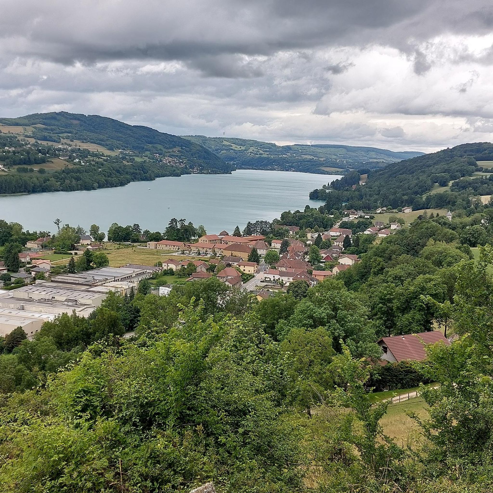
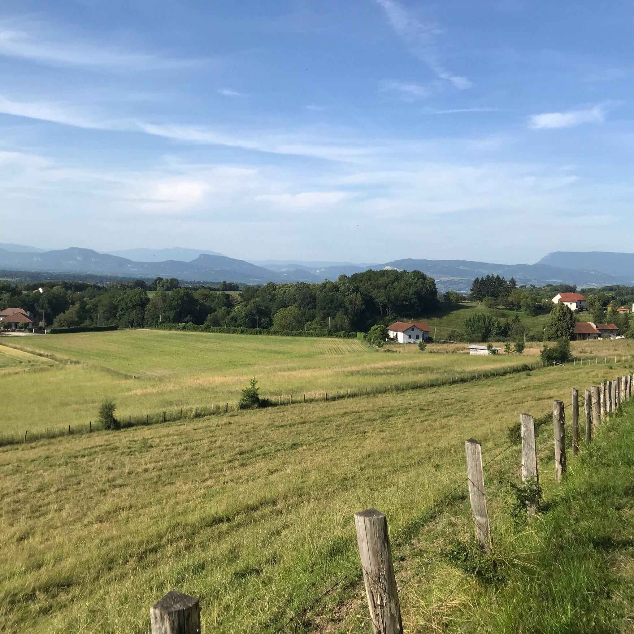
Gravel biking around Pressins offers a network of trails traversing varied terrain. The region is characterized by a mix of rolling hills, agricultural lands, and proximity to several lakes, including Lac de Paladru and Lac d'Aiguebelette. Elevations range from lower valley paths to climbs reaching over 500 meters, providing diverse experiences for gravel cyclists. The landscape includes areas with footbridges and marshlands, indicating routes that may follow river courses or cross wetlands.
Best gravel bike trails around Pressins
- The most…
Last updated: November 1, 2026
4.0
(4)
10
riders
34.1km
02:26
570m
570m
Hard gravel ride. Very good fitness required. Mostly paved surfaces.
4.3
(6)
15
riders
44.3km
02:33
150m
150m
Moderate gravel ride. Good fitness required. Mostly paved surfaces.

5.0
(1)
5
riders
17.7km
01:08
70m
70m
Easy gravel ride. Mostly paved surfaces.
5.0
(1)
6
riders
24.4km
01:43
400m
400m
Moderate gravel ride. Good fitness required. Mostly paved surfaces.
4.5
(2)
6
riders
29.8km
02:21
730m
730m
Hard gravel ride. Very good fitness required. Mostly paved surfaces.
Get access to more routes and recommendations from other explorers.
Already have an account?
Our route recommendations are based on thousands of hikes, rides, and runs completed by other people on komoot.
Start today with a free account
Your next adventure awaits.

Tips from the Community

The trail runs along the Guiers river to its confluence with the Rhône, on the edge of Savoie.
0
0
The trail runs along the Guiers river to its confluence with the Rhône, on the edge of Savoie.
0
0
For a long time, this bridge marked the political border between the Kingdom of France (Dauphiné side) and the States of Savoy. In 1822, a border stone (stone no. 5) had been set in its center to demarcate the two territories. This historic stone has since been moved to the Place des Tilleuls in the village, where it serves as a fountain.
0
0
The site is freely accessible on foot and offers four major marked routes to gently explore its riches.
0
0
The area is located on the border between the departments of Isère and Ain, right next to the Pont d’Évieu. A specific ViaRhôna link allows you to reach the center of the commune of Les Avenières directly from this point via small country roads.
0
0


A famous praline brioche 😃
0
0

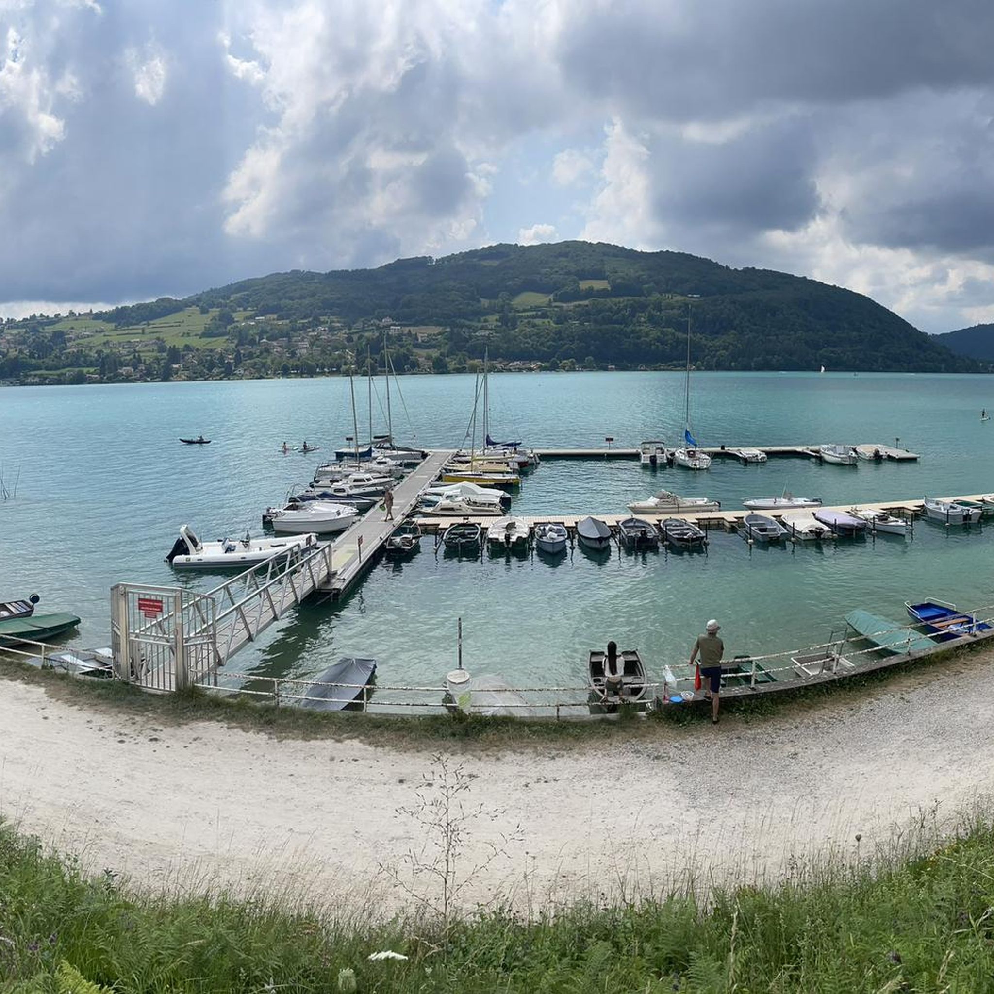
Located at the northern end of Lake Paladru, this wetland is fed by the Courbon stream. It is a true extension of the lake, rich in biodiversity and very pleasant.
0
0
Frequently Asked Questions
How many gravel bike trails are available around Pressins?
There are over 10 gravel bike trails around Pressins, offering a variety of experiences for different skill levels. You'll find routes ranging from easy paths to more challenging rides with significant elevation.
Are there any easy gravel bike trails suitable for beginners or families?
Yes, Pressins offers easy gravel bike trails. A great option is the Cordon Bridge – Lac de Barterand loop from Saint-Genix-Sur-Guiers, an 11.0-mile (17.8 km) path that includes a bridge crossing and explores the area around Lac de Barterand.
What are the more challenging gravel bike routes in the Pressins area?
For those seeking a challenge, the region has several difficult routes. Consider the Crusille Pass (573 m) – View of Lake Aiguebelette loop from Sainte-Marie-d'Alvey, an 18.7-mile (30.1 km) trail featuring a significant pass and views of Lake Aiguebelette. Another demanding option is the Chemin des marais – Lac de Paladru loop from Paladru, which includes over 700 meters of elevation gain.
Are there any circular gravel bike routes around Pressins?
Many of the gravel bike trails in Pressins are circular, allowing you to start and end at the same point. For example, the Virignin la Balme footbridge – Virignin footbridge loop from Église Saint-Didier is a 35.2-mile (56.6 km) loop that takes you through areas with footbridges.
What kind of scenery can I expect on gravel bike trails near Pressins?
Gravel biking around Pressins offers diverse scenery, including rolling hills, agricultural lands, and proximity to several lakes like Lac de Paladru and Lac d'Aiguebelette. You'll also find routes that traverse marshlands and follow river courses, often featuring footbridges.
What are some interesting landmarks or attractions to see along the gravel bike routes?
Along the gravel bike routes, you can encounter various points of interest. The Chemin des marais offers unique marshland views, while the Our Lady of the Vines is a notable religious site. For those who enjoy mountain passes, the Crusille Pass (573 m) provides scenic vistas.
What do other gravel bikers enjoy most about the trails in Pressins?
The gravel bike trails in Pressins are highly rated by the komoot community, with an average score of 4.9 stars. Reviewers often praise the varied terrain, the beautiful lake views, and the well-maintained paths that cater to different ability levels.
Are there good parking options near the gravel bike trails in Pressins?
Parking availability varies by trailhead. Many routes start from villages or towns like Sainte-Marie-d'Alvey or Saint-Genix-Sur-Guiers, where public parking is generally available. It's advisable to check the specific tour details on komoot for recommended starting points and parking information.
Is public transport accessible to reach the gravel bike trails in Pressins?
While Pressins is a rural area, some larger towns nearby may have limited public transport connections. However, for direct access to many trailheads, personal transport is often the most convenient option. Check local bus schedules for connections to the smaller villages where routes often begin.
When is the best time of year for gravel biking in Pressins?
The best time for gravel biking in Pressins is generally from spring through autumn, when the weather is mild and the trails are dry. Summer offers warm conditions, while spring and autumn provide pleasant temperatures and beautiful scenery. Winter riding is possible but may involve colder temperatures and potentially muddy or icy sections, especially at higher elevations.
Are there any cafes or pubs near the gravel bike trails for a break?
Yes, many of the gravel bike routes pass through or near small villages and towns where you can find local cafes, bakeries, or small restaurants. Areas around Lac de Paladru and Lac d'Aiguebelette, as well as towns like Saint-Genix-Sur-Guiers, offer opportunities for refreshments and breaks.
What are the typical distances and elevation gains for gravel bike routes in Pressins?
Gravel bike routes in Pressins vary significantly in distance and elevation. You can find shorter, easier routes around 11 miles (18 km) with minimal elevation gain, while more challenging tours can extend over 35 miles (56 km) and feature significant climbs, sometimes exceeding 700 meters of elevation gain.
Most popular attractions around Pressins

Get inspired with the komoot mobile app


Explore more
Browse the best Gravel rides in other regions.
