The best gravel rides around Belvédère
5.0
(1)
70
riders
6
rides
Gravel biking around Belvédère offers routes characterized by significant elevation changes and varied natural landscapes. The region features unpaved roads and challenging ascents, providing a demanding experience for gravel bikers. Terrain often includes rugged sections, with routes traversing through mountainous areas. These trails are suitable for riders seeking a mix of challenging climbs and scenic views.
Best gravel bike trails around Belvédère
- The most popular gravel bike trail is Col à Utelle – Lantosque loop from La Bollène-Vésubie, a…
Last updated: May 20, 2026
37
riders
71.4km
05:56
2,330m
2,330m
Hard gravel ride. Very good fitness required. Mostly paved surfaces. Suitable for all skill levels.
9
riders
31.6km
02:30
980m
980m
Hard gravel ride. Very good fitness required. Mostly paved surfaces. Suitable for all skill levels.

Sign up for free
8
riders
38.4km
03:52
1,310m
1,310m
Hard gravel ride. Very good fitness required. Mostly paved surfaces. Suitable for all skill levels.
5.0
(1)
10
riders
Hard gravel ride. Very good fitness required. Mostly paved surfaces. Suitable for all skill levels.
6
riders
77.5km
06:41
2,510m
2,520m
Hard gravel ride. Very good fitness required. Mostly paved surfaces. Suitable for all skill levels.
Our route recommendations are based on thousands of hikes, rides, and runs completed by other people on komoot.
Start today with a free account
Your next adventure awaits.
Login or Signup
Popular around Belvédère



Tips from the Community

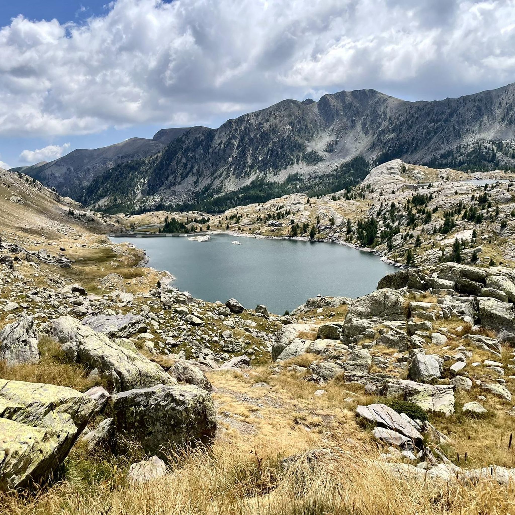
The Col Saint-Martin Pass, or Col de la Colmiane, is a mountain pass in the Southern Alps located at an altitude of 1,500 meters in the Alpes-Maritimes department of France. It provides a year-round road link between the Tinée Valley to the west and the Vésubie Valley to the east.
0
0
The Col Saint-Martin Pass, or Col de la Colmiane, is a mountain pass in the Southern Alps located at an altitude of 1,500 meters in the Alpes-Maritimes department of France. It provides a year-round road link between the Tinée Valley to the west and the Vésubie Valley to the east.
0
0
Col Saint Martin (el. 1500 m.) is a high mountain pass in the Alps in the department of Alpes-Maritimes in France.[1] It is traversed by the D-2205 highway.[2] The place has been crossed at the Tour de France road cycling race in 1973, 1975 and 2020, as well as at multiple editions of the Paris-Nice.
0
0

From here, go down the road on the left which is worse, but it's better to go downhill. Then go up the wide dirt road which is better...👍
0
0

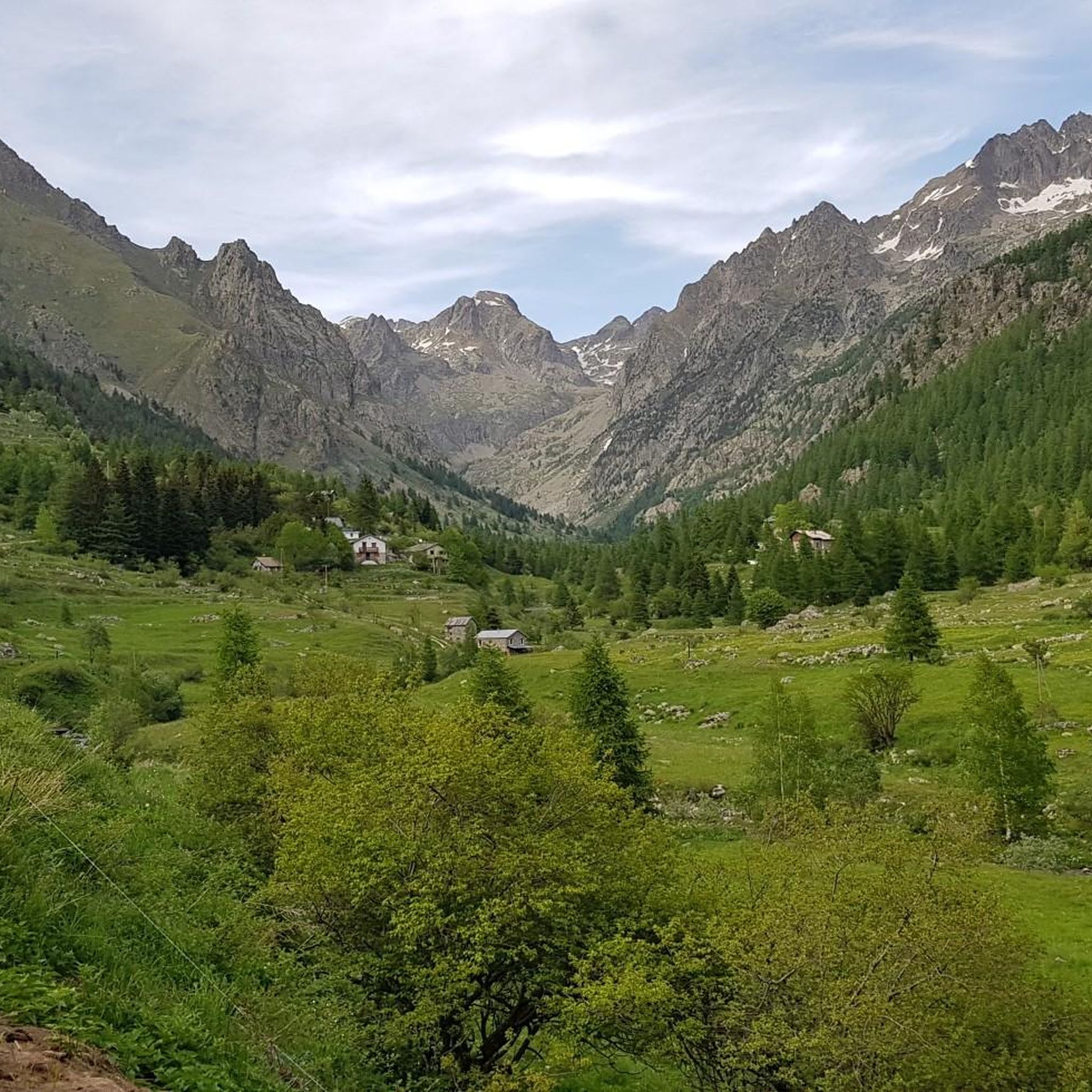
Beautiful area, you can do it.
0
0

A charming town with beautiful Mediterranean-style houses. Fountains babble at the town hall square, and thanks to hotels and restaurants, the square is bustling with life.
0
0
In July during the week there was almost no traffic, making it a completely relaxed drive up.
0
0

Frequently Asked Questions
What kind of terrain can I expect on gravel bike trails around Belvédère?
Gravel biking around Belvédère is characterized by varied natural landscapes and significant elevation changes. You'll encounter unpaved roads, rugged sections, and challenging ascents, often traversing mountainous areas. The terrain can include loose gravel, embedded rocks, and ruts, making for a demanding but rewarding experience.
Are the gravel bike trails around Belvédère challenging in terms of elevation?
Yes, the gravel bike trails in Belvédère feature substantial climbing. For example, the Col à Utelle – Lantosque loop from La Bollène-Vésubie, a popular route, includes over 8,200 feet (2,500 meters) of elevation gain. Most routes are designed for experienced riders due to the prevalence of difficult climbs.
What natural features and scenic views can I expect while gravel biking in Belvédère?
The region offers panoramic views and diverse topography. Depending on the specific 'Belvédère' location, you might experience stunning mountain vistas, such as those found in Bend, Oregon, or breathtaking views of lakes like Lake Annecy from Belvédère de la Forclaz. The landscape can transition from high-desert sagebrush to dense ponderosa pine forests, often with rivers and waterways providing scenic corridors.
Are there any interesting landmarks or attractions near the gravel bike trails in Belvédère?
Yes, the area around Belvédère offers several points of interest. You can find impressive mountain peaks like Cime du Diable and Mont Pépoiri. Other notable attractions include the historic Ouvrage de la Forca Ruins and the scenic mountain pass of Col de Turini. There are also several huts like Rifugio Genova-Figari that can serve as points of interest.
When is the best time of year to go gravel biking in Belvédère?
Given the mountainous terrain and potential for challenging conditions, the best time for gravel biking in Belvédère is typically during the warmer, drier months. This avoids snow and ice at higher elevations and ensures more stable trail conditions. Always check local weather forecasts before heading out.
Are there any family-friendly or easy gravel bike trails in Belvédère?
The gravel biking routes around Belvédère are primarily defined by challenging ascents and difficult terrain, making them more suitable for experienced riders. While some regions associated with 'Belvédère' might offer easier options, the trails highlighted in this guide are generally considered difficult. There is one moderate route available, but no easy routes are listed.
Can I find circular gravel bike routes in Belvédère?
Yes, several popular gravel bike routes in Belvédère are circular. Examples include the Roquebillière town centre – Les Granges de la Brasque loop from La Bollène-Vésubie and the Lower Peirafica – Forte Margheria loop from Castérino, allowing you to start and finish at the same point.
What do other gravel bikers say about their experience in Belvédère?
The gravel biking routes in Belvédère are highly rated by the komoot community, with an average score of 5.0 stars. Over 80 gravel bikers have used komoot to explore the varied and challenging terrain, often praising the panoramic views and the demanding nature of the ascents.
How can I access the gravel bike trails around Belvédère using public transport?
Specific public transport options directly to every trailhead in Belvédère can vary widely depending on the exact starting point. Given the mountainous and often remote nature of many gravel routes, public transport access might be limited. It's advisable to research local bus or train services to nearby towns and consider how to cover the final distance to the trailhead, possibly by cycling or a short taxi ride.
Is parking available near the gravel bike trails in Belvédère?
While specific parking information for each trailhead is not detailed, many starting points for outdoor activities in mountainous regions typically offer designated parking areas, especially in or near villages like La Bollène-Vésubie or Castérino. It's recommended to check local maps or tour descriptions for specific parking locations before your ride.
Do I need any special permits to go gravel biking in Belvédère?
Generally, no special permits are required for gravel biking on established trails and unpaved roads in the Belvédère region. However, if your route passes through protected natural areas or private land, it's always best to check for any specific regulations or access restrictions that might apply. Always respect local signage and environmental guidelines.
Are there places to stop for food or drinks along the gravel bike trails?
While the routes themselves often traverse remote, natural landscapes, you may find opportunities for food and drinks in the villages or towns near the start and end points of the trails, such as La Bollène-Vésubie or Castérino. Some routes might also pass by mountain huts or refuges, like Merveilles Refuge, which can offer refreshments or accommodation. It's always a good idea to carry sufficient water and snacks, especially on longer rides.
Most popular routes around Belvédère
Most popular attractions around Belvédère

Get inspired with the komoot mobile app


Explore more
Browse the best Gravel rides in other regions.
