The best gravel rides around La Vacquerie-Et-Saint-Martin-De-Castries
4.0
(2)
30
riders
3
rides
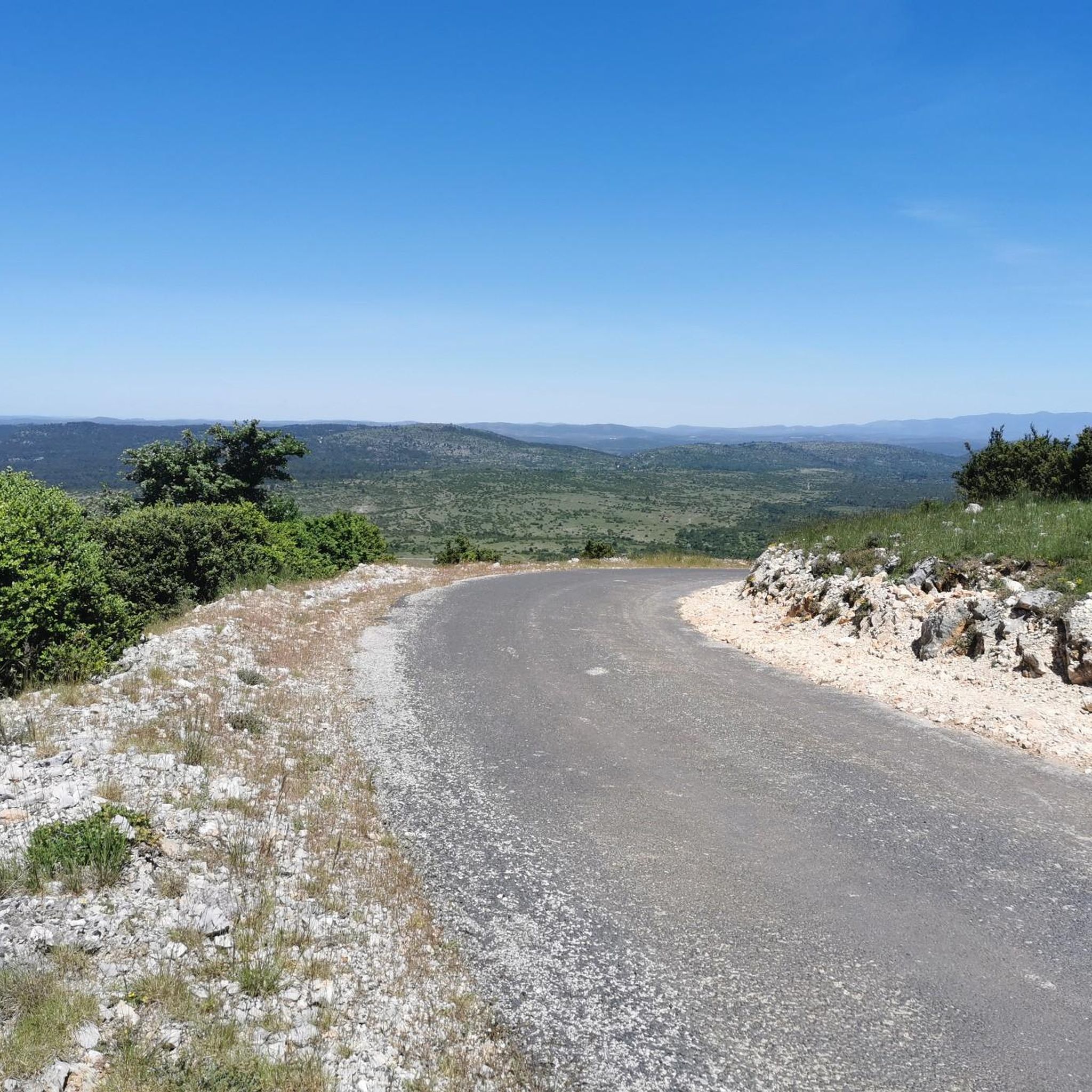
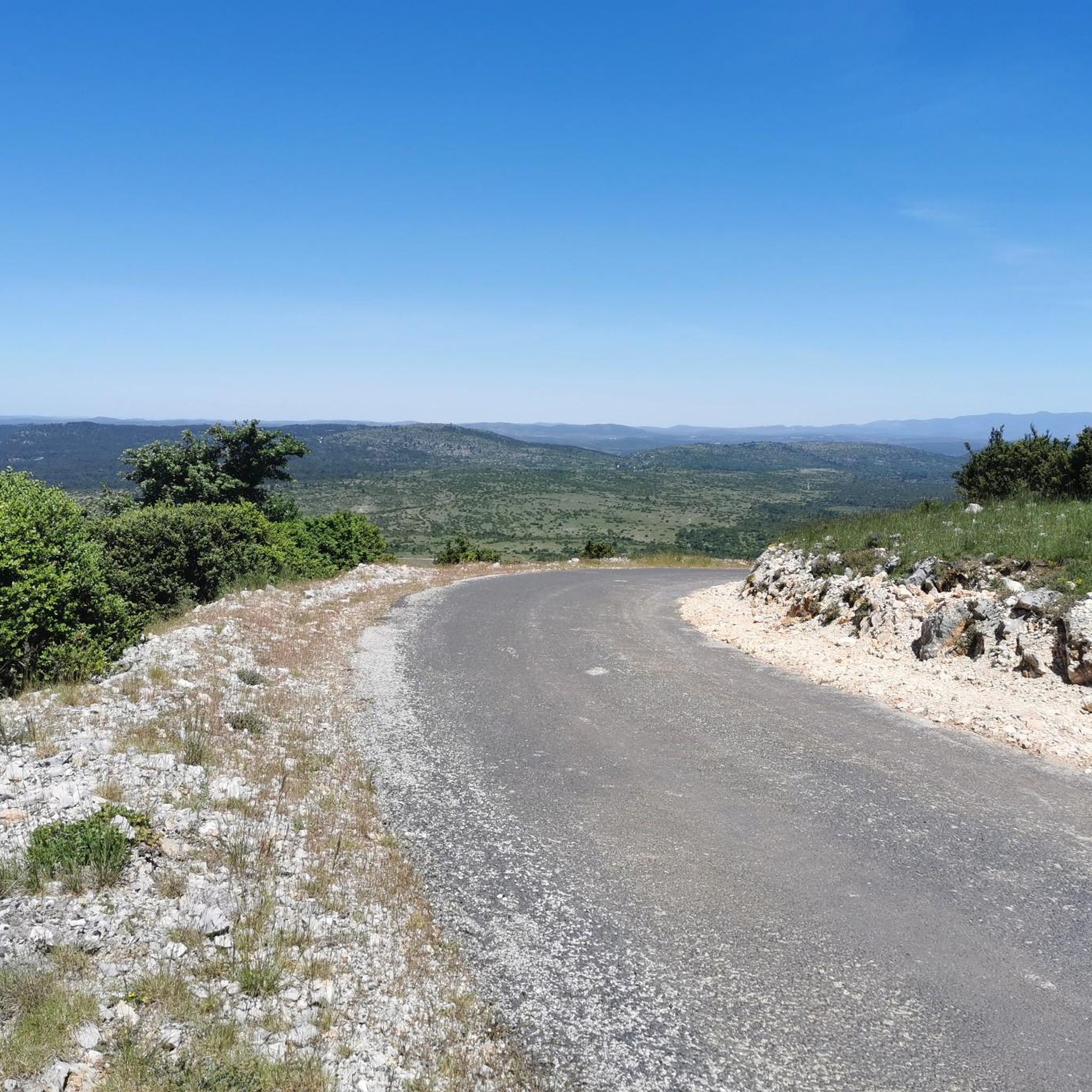
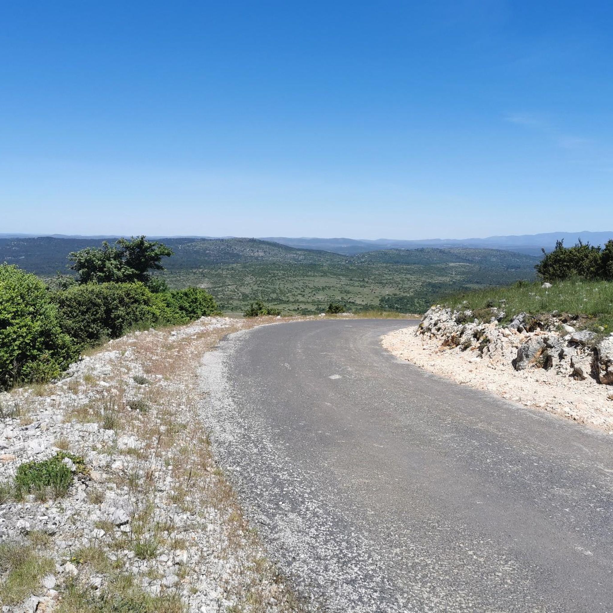
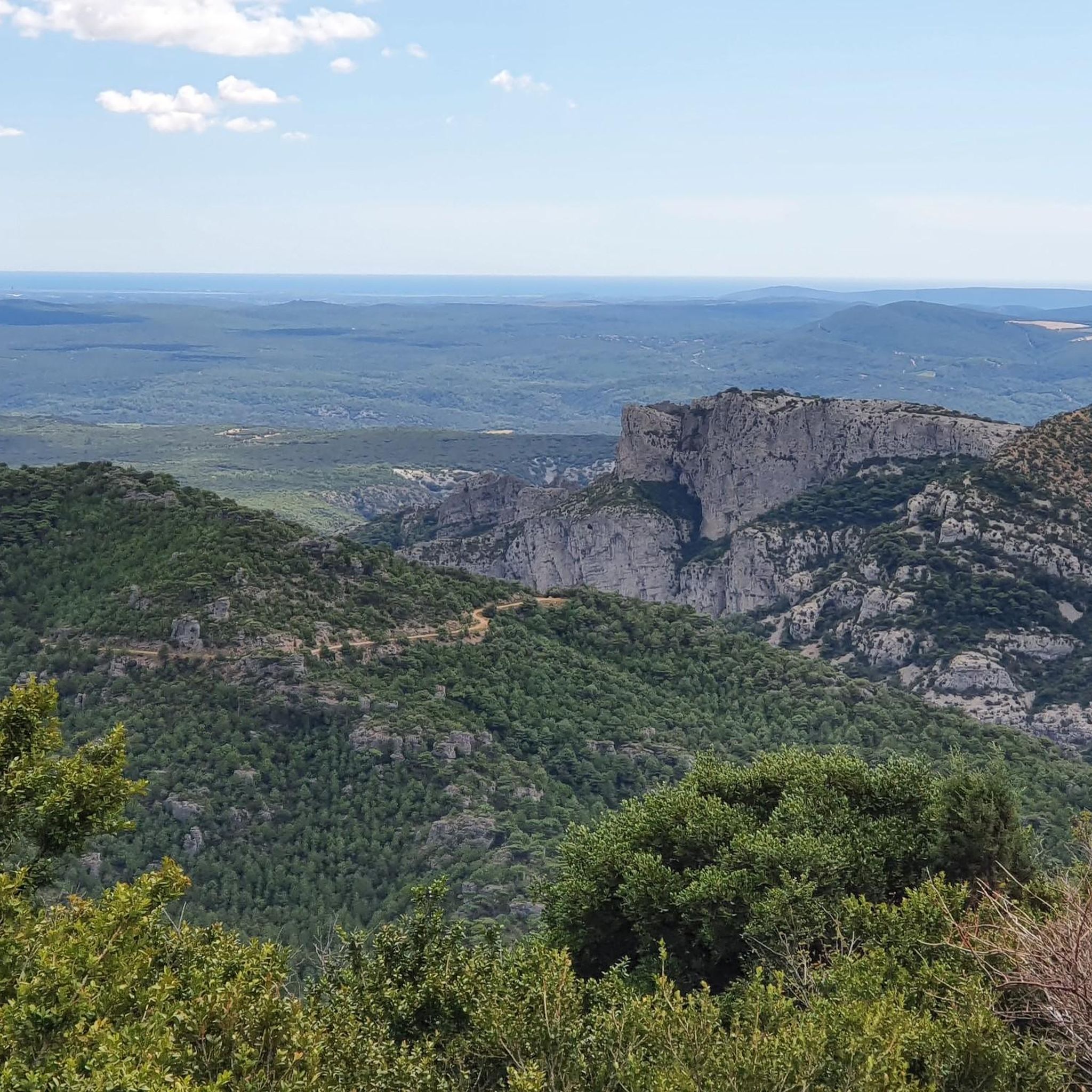
Gravel biking around La Vacquerie-Et-Saint-Martin-De-Castries offers a rugged and scenic environment on the southern Larzac plateau. The region is characterized by vast limestone plateaus, deep gorges, and tranquil country roads, providing varied terrain for cyclists. Routes often feature significant elevation gains, traversing through forests and past historical sites. This landscape provides challenging and rewarding experiences for gravel bikers.
Best gravel bike trails around La Vacquerie-Et-Saint-Martin-De-Castries
- The most popular gravel bike trail is Mont Saint-Baudille Summit – Col du Vent (703…
Last updated: August 25, 2026
4.0
(1)
14
riders
Hard gravel ride. Very good fitness required. You may need to push your bike for some segments of this route.
2
riders
43.3km
03:55
1,020m
1,020m
Hard gravel ride. Very good fitness required. Mostly paved surfaces. Suitable for all skill levels.

Sign up for free
4.0
(1)
7
riders
21.4km
01:22
290m
290m
Moderate gravel ride. Good fitness required. Mostly paved surfaces. Suitable for all skill levels.
5
riders
50.5km
03:58
1,080m
1,080m
Hard gravel ride. Very good fitness required. Mostly paved surfaces. Suitable for all skill levels.
2
riders
18.2km
01:21
320m
320m
Moderate gravel ride. Good fitness required. Mostly paved surfaces. Suitable for all skill levels.
Our route recommendations are based on thousands of hikes, rides, and runs completed by other people on komoot.
Start today with a free account
Your next adventure awaits.
Login or Signup
Popular around La Vacquerie-Et-Saint-Martin-De-Castries
Tips from the Community

A great village, with winding alleyways where it's pleasant to get lost.
0
0

Very beautiful place
0
0

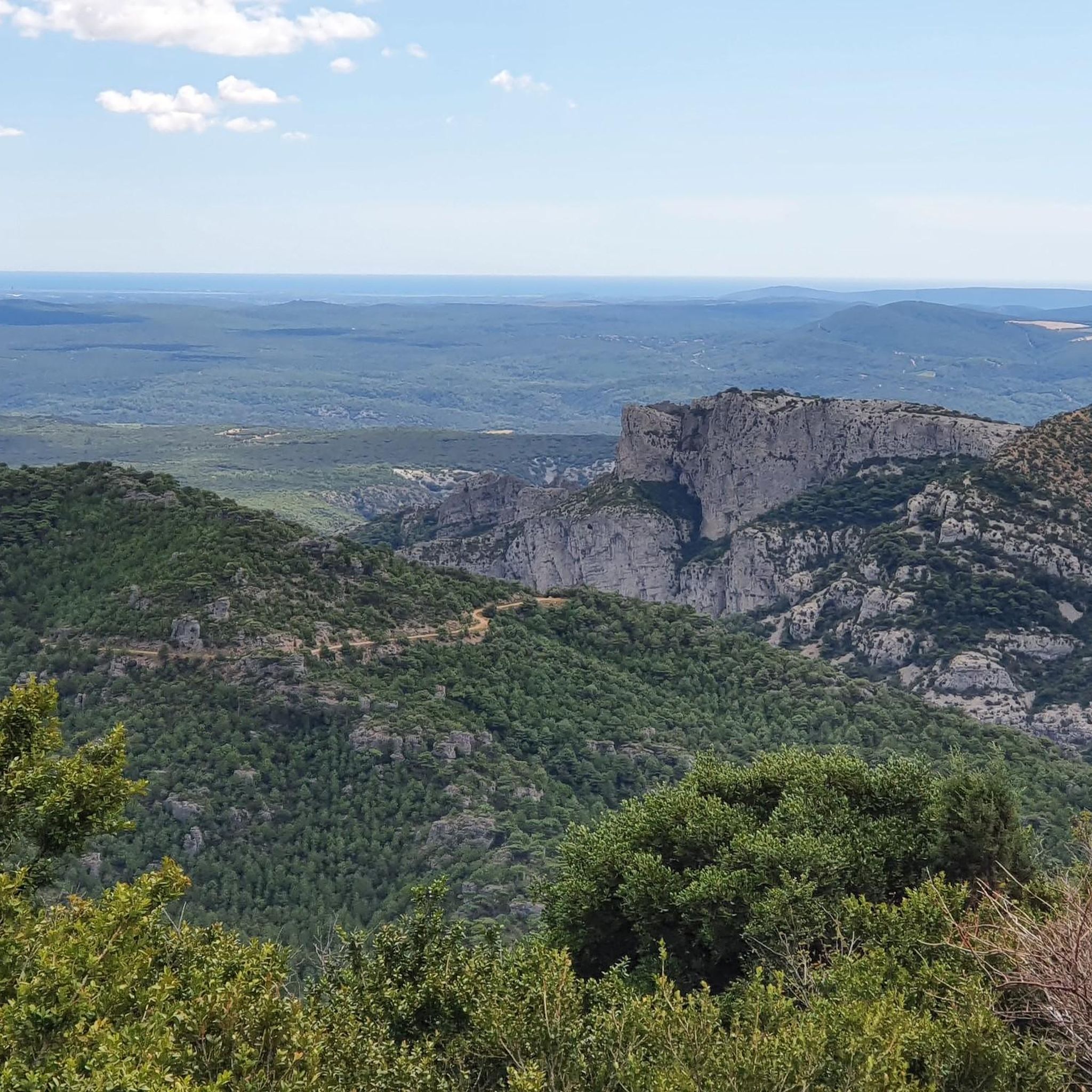
From Mont Saint-Baudille, the view is breathtaking! Enjoy the panorama of the Hérault plain, the Mediterranean, Pic Saint Loup, and Canigou!
1
0

The mountain bike climb up the north face is very steep and stony, and we did most of it on foot. The descent to the northeast to Mas d'Aubert is easy.
0
0
a fairly challenging single track, especially in its northern section. I recommend doing it in a south-to-north direction (easier in my opinion).
0
0

magnificent waterfalls, a must-see
1
0

Everything is fine until the Buèges floods 😅
0
0
One of the few ways in the area to cross the Buèges when it is in flood 😅
0
0
Frequently Asked Questions
What kind of terrain can I expect on gravel bike trails around La Vacquerie-Et-Saint-Martin-De-Castries?
The region offers a diverse and rugged landscape, characterized by vast limestone plateaus, deep gorges like the Cirque de Navacelles, and tranquil country roads. You'll encounter a mix of surfaces, from paved sections to demanding trails, often with significant elevation changes.
Are there challenging gravel routes for experienced riders?
Yes, many routes in the area are considered challenging, featuring substantial climbs and descents. For example, the Mont Saint-Baudille Summit – Col du Vent (703 m) loop from Saint-Jean-de-Fos involves nearly 1000 meters of elevation gain over 43 kilometers, making it a demanding ride for experienced gravel bikers.
What natural features can I see along the gravel bike routes?
You'll encounter breathtaking natural features such as the dramatic Cirque de Navacelles and the stunning Gorges de la Vis. Some routes also pass by the La Vis Waterfall in Navacelles, offering picturesque views and potential swimming spots. The region is also home to extensive forests, providing shaded sections.
Are there any historical landmarks to explore while gravel biking?
Absolutely. The area is rich in history. Routes like The monks' descent – The Castellas of Montpeyroux loop from Montpeyroux incorporate historic paths and pass by ancient structures such as the Castellas of Montpeyroux. The broader Larzac plateau is also dotted with Neolithic dolmens, menhirs, and tumuli.
What are the best viewpoints accessible by gravel bike?
From various points, especially around Mont Saint-Baudille, you can enjoy expansive panoramas. These views often encompass the cliffs bordering the Causse du Larzac, the Plateau de l'Escandorgue, the Vallée de la Lergue, Lac du Salagou, and even glimpses of the Mediterranean Sea (Golfe du Lion).
Are there any loop routes available for gravel biking?
Yes, many of the gravel bike trails in the region are designed as loops, allowing you to start and finish in the same location. Examples include the The monks' descent – Col de Lavagne loop from Montpeyroux and the Forest arch – Castellas of Montpeyroux loop from Montpeyroux.
What is the best time of year for gravel biking in this region?
While specific seasonal advice isn't provided, the diverse terrain suggests that spring and autumn would likely offer the most pleasant temperatures for tackling the significant elevation gains. Summers can be hot on the exposed plateaus, while winters might bring colder conditions.
What do other gravel bikers say about the trails in La Vacquerie-Et-Saint-Martin-De-Castries?
The routes in La Vacquerie-Et-Saint-Martin-De-Castries are highly rated by the komoot community, with an average score of 4.5 stars from a few reviews. More than 30 gravel bikers have used komoot to explore the varied terrain, often praising the challenging and rewarding experiences.
Are there any long-distance gravel routes available?
Yes, for those seeking longer adventures, routes like the Col du Vent (703 m) – La Vis Waterfall loop from Le Rocher des Vierges cover nearly 97 kilometers with over 1600 meters of elevation gain, offering a full day's ride or an excellent option for bikepacking.
Are there any family-friendly or easier gravel biking options?
While many routes feature significant elevation and are rated as difficult, the region does offer varied terrain. Some sections consist of tranquil country roads and paved surfaces, which might be more suitable for families or those seeking a less strenuous ride. It's advisable to check individual route details for difficulty and elevation before setting out.
Where can I find parking for gravel bike trails?
Many routes start from villages like Saint-Jean-de-Fos or Montpeyroux, where you can typically find public parking. It's recommended to check the starting point of your chosen route on komoot for specific parking information.
Are there opportunities for wild swimming along the gravel routes?
Yes, the Gorges de la Vis, particularly around the La Vis Waterfall in Navacelles, are known for offering opportunities for swimming. This can be a refreshing stop during a long gravel ride, especially during warmer months.
Most popular routes around La Vacquerie-Et-Saint-Martin-De-Castries
Most popular attractions around La Vacquerie-Et-Saint-Martin-De-Castries

Get inspired with the komoot mobile app


Explore more
Browse the best Gravel rides in other regions.
