The best running trails around Billy-Sur-Oisy
4.4
(15)
269
runners
41
runs
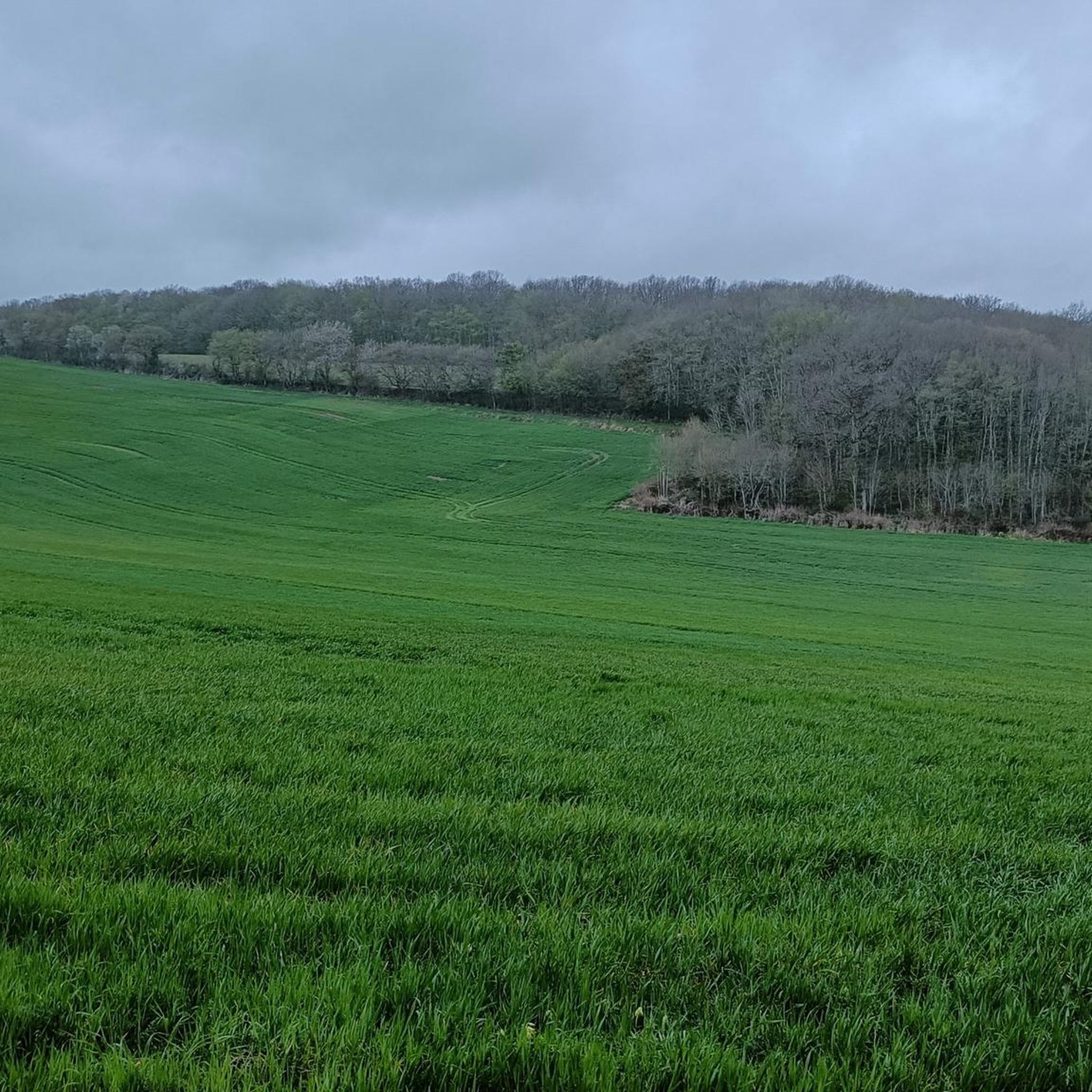
Jogging routes around Billy-Sur-Oisy traverse a landscape characterized by rural charm and varied terrain in the Nièvre department of Burgundy-Franche-Comté. The region features the river Oisy, extensive forests covering 366 hectares, and marshlands such as the Andryes Marsh. Runners can encounter diverse topography, including the Château-Musard hill at 232 meters, providing varied elevation changes. This natural setting offers well-maintained trails suitable for a range of running experiences.
Best jogging routes around Billy-Sur-Oisy
- The most popular jogging route is Pont des…
Last updated: May 20, 2026
5.0
(1)
25
runners
12.0km
01:20
180m
180m
Moderate run. Good fitness required. Mostly paved surfaces. Suitable for all skill levels.
4.5
(2)
10
runners
7.52km
00:49
80m
80m
Moderate run. Good fitness required. Mostly paved surfaces. Suitable for all skill levels.

Sign up for free
5
runners
8.65km
00:59
120m
120m
Moderate run. Good fitness required. Mostly paved surfaces. Suitable for all skill levels.
4.0
(1)
4
runners
9.67km
01:04
120m
120m
Moderate run. Good fitness required. Mostly paved surfaces. Suitable for all skill levels.
4.0
(1)
4
runners
5.88km
00:40
70m
70m
Moderate run. Good fitness required. Mostly paved surfaces. Suitable for all skill levels.
Get access to more routes and recommendations from other explorers.
Sign up for free
Already have an account?
Our route recommendations are based on thousands of hikes, rides, and runs completed by other people on komoot.
Start today with a free account
Your next adventure awaits.
Login or Signup



Frequently Asked Questions
How many running routes are available around Billy-sur-Oisy?
There are over 35 dedicated running routes around Billy-sur-Oisy listed on komoot, offering a wide range of options for different fitness levels and preferences.
What kind of terrain can I expect on the jogging trails in this region?
The jogging trails around Billy-sur-Oisy offer a diverse mix of terrain. You can expect scenic riverside paths along the Oisy River, extensive sections through a 366-hectare forest of oaks, firs, and fruit trees, and gentle inclines provided by features like the Château-Musard hill. Some routes also explore marshland areas, adding to the variety.
Are there any easy running routes suitable for beginners or a relaxed jog?
Yes, while most routes are moderate, there are options for easier jogs. For instance, the region offers various easy loops that allow you to enjoy the natural beauty without significant elevation changes. You can find 1 easy route among the 37 available on komoot.
Are the running trails around Billy-sur-Oisy suitable for families?
Many of the trails around Billy-sur-Oisy are suitable for families, especially those looking for a pleasant walk or a gentle jog. The varied terrain, including riverside paths and forested areas, provides an enjoyable outdoor experience for all ages. Look for routes marked as 'easy' or 'moderate' with shorter distances.
What do other runners enjoy most about the trails in Billy-sur-Oisy?
The running routes in Billy-sur-Oisy are highly rated by the komoot community, with an average score of 4.4 stars from over 14 reviews. Runners often praise the varied terrain, including the quiet woodlands and scenic riverside paths, as well as the well-maintained nature of the trails.
Are there any circular running routes in the area?
Yes, many of the running routes around Billy-sur-Oisy are designed as circular paths, allowing you to start and finish at the same point. An example is the Running loop from Corvol-l'Orgueilleux, which is a 4.4-mile (7.1 km) trail through rural landscapes.
Can I bring my dog on the running trails?
Generally, the natural trails through forests and along riversides in the Billy-sur-Oisy region are suitable for dogs, provided they are kept under control, especially in areas where wildlife might be present or near agricultural land. Always check local signage for specific restrictions.
What are some points of interest or landmarks I might see while running?
While jogging, you'll primarily experience the natural beauty of the Oisy River and the expansive forest. For cultural stops nearby, you could visit the historic center of Clamecy, or the impressive Château de Druyes, which are within easy reach of the region.
Are there any routes that offer good viewpoints?
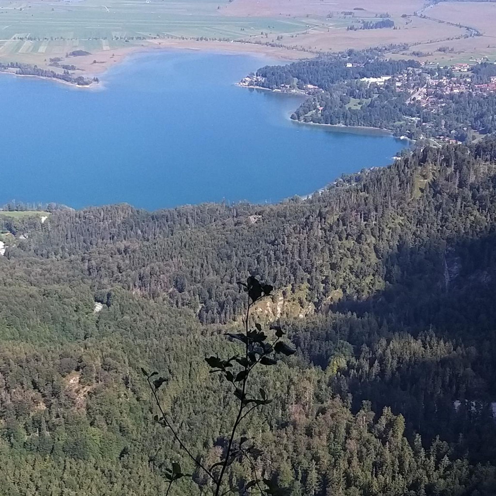
The Château-Musard hill, rising to 232 meters, offers potential elevation changes and panoramic views of the region. While specific routes highlighting viewpoints aren't detailed, incorporating sections that ascend this hill would likely provide scenic vistas of the surrounding Burgundy-Franche-Comté landscape.
Is there parking available near the trailheads?
While specific parking areas for each trailhead are not detailed, routes often start from villages like Andryes or Corvol-l'Orgueilleux, where public parking is generally available. It's advisable to check the starting point of your chosen route for the most convenient parking options.
What is a good moderate running route to try in the area?
A great moderate option is the Running loop from Andryes. This 8.6 km (5.3 miles) route offers a balanced challenge with varied terrain and takes approximately 1 hour to complete.
Are there any longer running routes for more experienced runners?
Yes, for those seeking a longer challenge, the Pont des Buffières – Fitness trail loop from Andryes is an excellent choice. It's a 12.0 km (7.4 miles) moderate route with varied terrain, including riverside paths and forest sections, typically taking around 1 hour 20 minutes.
Most popular routes around Billy-Sur-Oisy
Most popular attractions around Billy-Sur-Oisy

Get inspired with the komoot mobile app


Explore more
Browse the best Running Trails & Routes in other regions.
