The best walks and hikes around Lucenay-Lès-Aix
4.7
(17)
101
hikers
16
hikes
Hiking around Lucenay-lès-Aix offers a network of trails through a landscape characterized by gentle hills, agricultural fields, and occasional woodlands. The terrain elevation difficulty for hiking in this region is generally low, with routes featuring minimal ascent. This area provides opportunities to explore local natural features and rural scenery.
Best hiking trails around Lucenay-lès-Aix
- The most popular hiking route is Thareau loop from Saint-Hilaire-Fontaine, a 4.7 miles (7.6 km) trail that takes 1 hour 54 minutes to complete. This…
Last updated: July 1, 2026
5.0
(1)
7
hikers
7.56km
01:54
10m
10m
Easy hike. Great for any fitness level. Easily-accessible paths. Suitable for all skill levels.
4.7
(3)
7
hikers
13.2km
03:26
90m
90m
Moderate hike. Good fitness required. Easily-accessible paths. Suitable for all skill levels.

Sign up for free
4.0
(1)
8
hikers
6.01km
01:31
10m
10m
Easy hike. Great for any fitness level. Easily-accessible paths. Suitable for all skill levels.
4.0
(1)
8
hikers
Easy hike. Great for any fitness level. Easily-accessible paths. Suitable for all skill levels.
5.0
(1)
6
hikers
10.6km
02:44
60m
60m
Moderate hike. Good fitness required. Easily-accessible paths. Suitable for all skill levels.
Get access to more routes and recommendations from other explorers.
Sign up for free
Already have an account?
Our route recommendations are based on thousands of hikes, rides, and runs completed by other people on komoot.
Start today with a free account
Your next adventure awaits.
Login or Signup



Tips from the Community

Beautiful picnic spot on the Loire with a barbecue area and access to the nature reserve. There is an opportunity for bivouacking at the picnic spot. Trash cans available. No drinking water
0
0

The cycle path on the dam is sometimes a bit "tough". The views of the Loire radiate tranquility.
1
0
Simply a great spot – a beautiful view of the Loire. The wooden statues are original. A lovely bike path!
0
0

The Moulin au Loup pond is a beautiful stretch of water located near the Loire. Dug by human hands during the 19th and 20th centuries, the pond has long served water supply needs. It was also used to transport wood and to regulate the level of the Seine and the Yonne.
3
0
In the small Loire hamlet of Thareau, picnic tables are available for a pleasant break. Alongside them, wooden sculptures arouse the curiosity of walkers.
1
0
On the banks of the Loire, an ideal place to admire the river and rest.
1
0

Portion of the Loire itinerary in Burgundy on paths and cycle paths. Some connections on less frequented roads. Some points of view on the Loire
1
0
Picturesque picnic area, for a short break.
0
0
Frequently Asked Questions
How many hiking trails are available around Lucenay-lès-Aix?
There are over 15 hiking routes available around Lucenay-lès-Aix, offering a variety of options for exploring the local landscape.
What kind of terrain can I expect on hikes near Lucenay-lès-Aix?
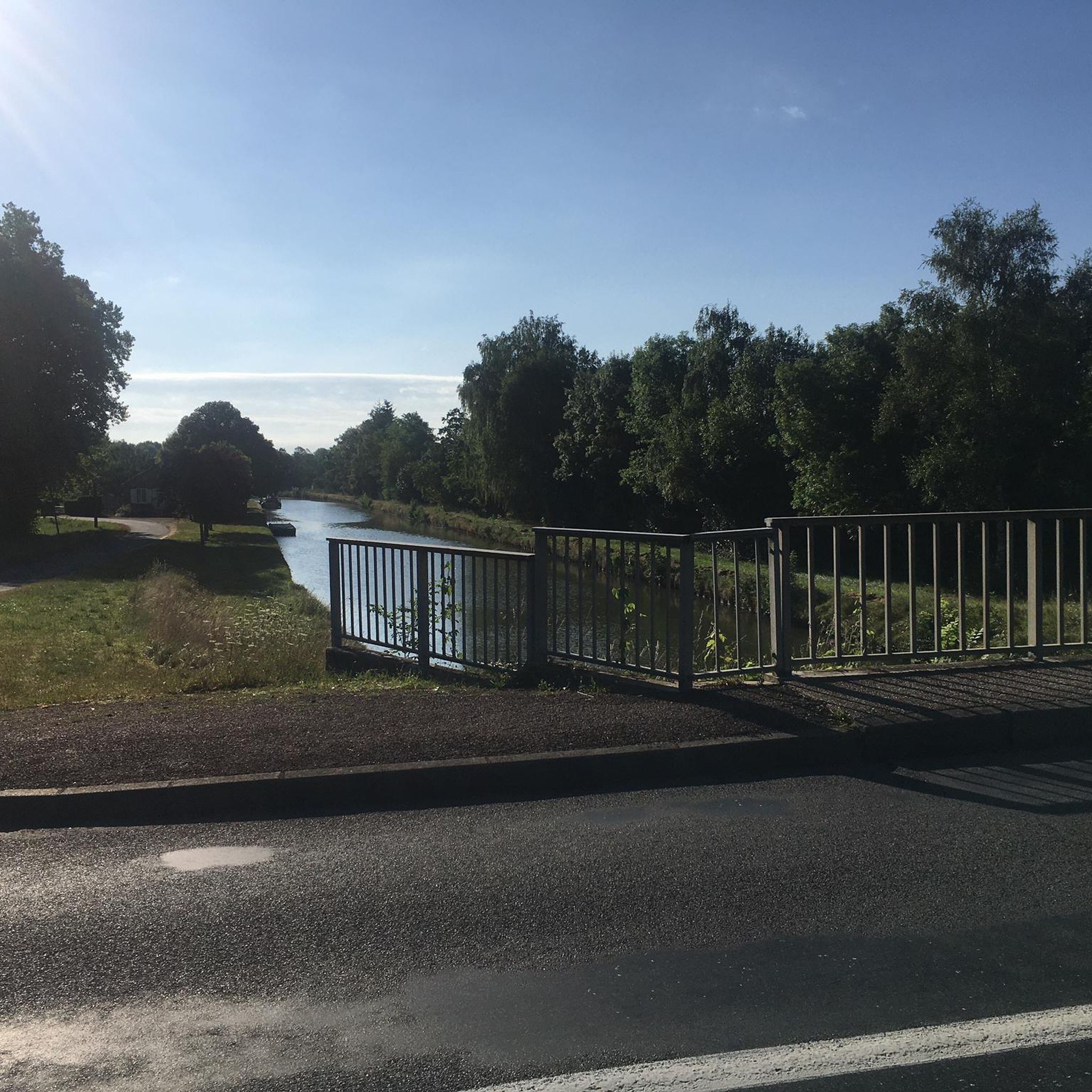
The terrain around Lucenay-lès-Aix is characterized by gentle hills, expansive agricultural fields, and occasional woodlands. Many routes also offer picturesque views of the Loire River, providing a diverse and pleasant hiking experience.
Are there easy hiking options suitable for beginners in Lucenay-lès-Aix?
Yes, Lucenay-lès-Aix offers 6 easy hiking routes. These trails typically feature minimal ascent and are perfect for beginners or those looking for a relaxed walk. An example is the View of the Loire loop from Charrin, which is just over 6 km long.
Are there any family-friendly hiking trails in the area?
Many of the easy and moderate trails around Lucenay-lès-Aix are suitable for families. The gentle terrain and relatively short distances make them enjoyable for all ages. Consider routes that pass through open fields or offer river views for a pleasant family outing.
Can I bring my dog on the hiking trails around Lucenay-lès-Aix?
Yes, the rural nature of the trails around Lucenay-lès-Aix generally makes them suitable for dogs. However, always keep your dog on a leash, especially when passing through agricultural areas or near livestock, and ensure you clean up after them. Check local signage for any specific restrictions.
Are there any circular hiking routes available?
Yes, many of the trails around Lucenay-lès-Aix are designed as circular routes, allowing you to start and end at the same point. For instance, the Les Coqs loop from La Baraude is a moderate 10.5 km circular hike that takes you through varied landscapes.
What are some interesting landmarks or points of interest to see while hiking?
While hiking, you can discover various points of interest. Many routes offer views of the Loire River, and you might encounter historical structures like the Château de Panessière, which is part of the Château de Panessière loop from Gennetines. You can also find scenic spots like the Picnic area on the banks of the Loire River.
Is there parking available near the trailheads?
In this rural region, parking is generally available in or near the villages where many of the trails begin. Look for designated parking areas in places like Saint-Hilaire-Fontaine, Les Grèves, or Charrin, which serve as starting points for several popular routes.
What is the best time of year to go hiking in Lucenay-lès-Aix?
The best time to hike in Lucenay-lès-Aix is typically during spring (April-June) and autumn (September-October) when the weather is mild and the natural scenery is at its most vibrant. Summer can also be pleasant, but it's advisable to start early to avoid the midday heat. Winter hikes are possible, but trails might be muddy.
What do other hikers enjoy most about the trails in Lucenay-lès-Aix?
The trails in Lucenay-lès-Aix are highly rated by the komoot community, with an average score of 4.75 stars. Hikers often praise the peaceful rural scenery, the well-maintained paths through agricultural fields, and the gentle nature of the routes, making them accessible and enjoyable for various fitness levels.
Are there any cafes or places to eat near the hiking trails?
As Lucenay-lès-Aix is a rural area, dining options might be limited directly on the trails. However, you can find cafes and small restaurants in the main village of Lucenay-lès-Aix itself or in nearby larger towns. It's always a good idea to pack snacks and water, especially for longer hikes.
What kind of wildlife might I encounter on the hikes?
The rural landscape around Lucenay-lès-Aix, with its fields and woodlands, is home to various common European wildlife. You might spot birds of prey, small mammals like rabbits and foxes, and a variety of insects. Keep an eye out for local farm animals in agricultural areas.
Most popular attractions around Lucenay-Lès-Aix

Get inspired with the komoot mobile app


Explore more
Browse the best Hikes in other regions.
