The best running trails around Chambost-Longessaigne
4.5
(24)
1,094
runners
143
runs
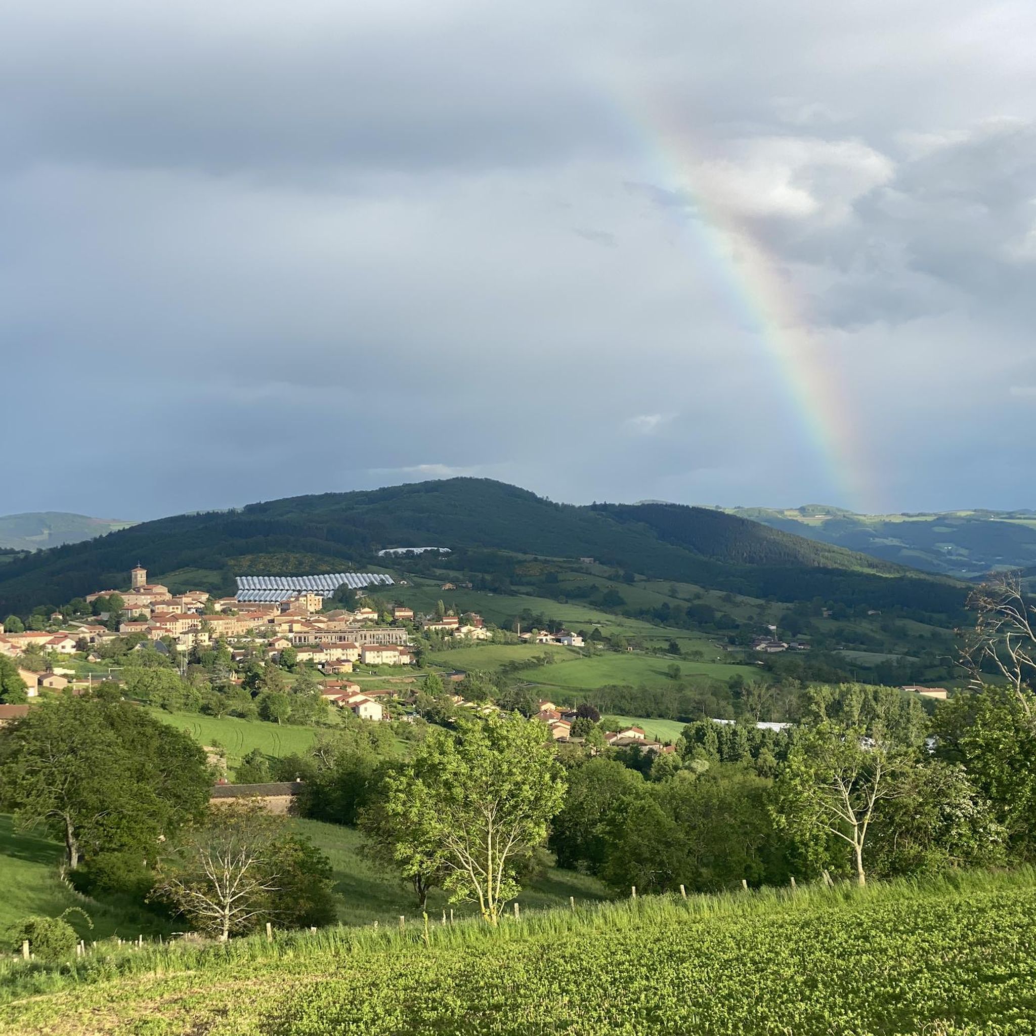
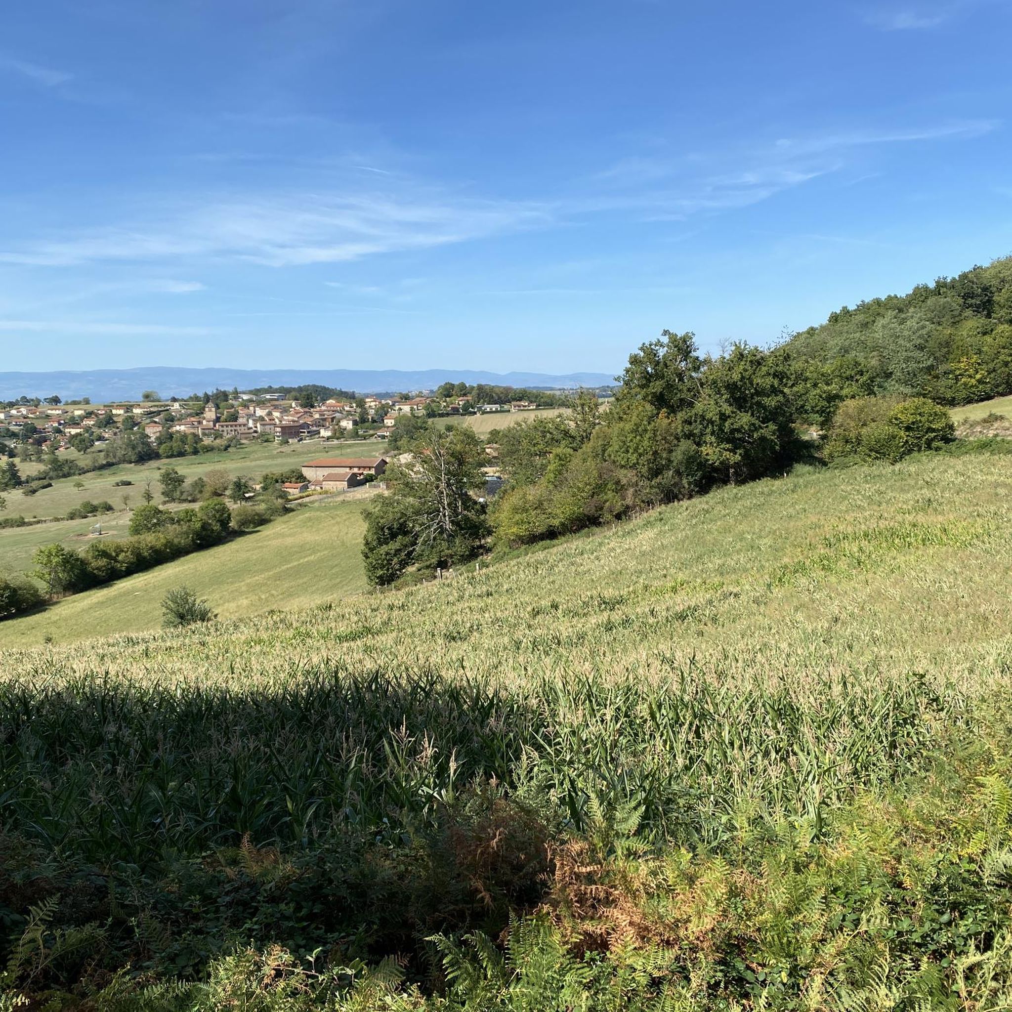
Jogging routes around Chambost-Longessaigne traverse a varied terrain, characterized by elevations ranging from approximately 477 to 681 meters. This hilly environment, nestled between the Rhône and Loire rivers, offers verdant landscapes and a network of well-maintained paths. The region provides diverse topography suitable for both challenging and engaging runs. Numerous marked trails, originally designed for hiking and mountain biking, are also ideal for runners seeking varied distances and difficulty levels.
Best jogging routes around Chambost-Longessaigne
- The most popular jogging route…
Last updated: May 20, 2026
62
runners
19.9km
02:32
560m
560m
Hard run. Very good fitness required. Mostly paved surfaces. Suitable for all skill levels.
22
runners
19.9km
02:26
480m
480m
Hard run. Very good fitness required. Mostly accessible paths. Some sure footedness required.

Sign up for free
13
runners
26.8km
03:15
690m
680m
Hard run. Very good fitness required. Mostly paved surfaces. Suitable for all skill levels.
3.7
(3)
5
runners
6.06km
00:42
140m
140m
Moderate run. Good fitness required. Mostly paved surfaces. Suitable for all skill levels.
9
runners
17.6km
02:07
440m
440m
Hard run. Very good fitness required. Mostly paved surfaces. Suitable for all skill levels.
Get access to more routes and recommendations from other explorers.
Sign up for free
Already have an account?
Our route recommendations are based on thousands of hikes, rides, and runs completed by other people on komoot.
Start today with a free account
Your next adventure awaits.
Login or Signup
Tips from the Community

To see the remains of an old steam locomotive 🚂
0
0
To see the Matagrin tower on the summit of mount Bessuivre
0
0

The climb to the Croix du Signy from Villechenève is 2km long with a total difference in altitude of around 50m. The average slope is 3% with maximum slopes of 7%.
1
0

Pretty long pass on the Tarare side with a constant slope around 5%. Delimits the watershed line between the Rhône and the Loire. Do not hesitate to climb to Mont Boussuivre by extending a few hundred meters and climb to the top of the Matagrin tower to enjoy a magnificent view of the whole region.
0
0

Current textile and tie museum and third place under construction. Located near the old monorail railway line, which was to link Panissières to Feurs, at the request of the textile industries of the time. The place is under renovation and closed until 2023.
1
0
Replica of the Monorail locomotive which was to link the towns of Feurs to Panissières at the end of the 19th century. The project was aborted along the way and the railway line rehabilitated as a greenway.
1
0

the classic grnad around Tarare
0
0
Frequently Asked Questions
How many running routes are available around Chambost-Longessaigne?
Chambost-Longessaigne offers an extensive network of paths, with over 130 dedicated jogging routes available on komoot. These routes traverse varied terrain, providing options for all fitness levels.
What kind of terrain can I expect on jogging routes in Chambost-Longessaigne?
The region is characterized by a hilly environment with elevations ranging from approximately 477 to 681 meters. You can expect beautiful green landscapes and a mix of well-maintained paths, trails, and some paved sections, offering a diverse and engaging running experience.
Are there any easy or moderate running routes for beginners in Chambost-Longessaigne?
Yes, while many routes feature significant elevation changes, there are options for all abilities. You'll find 6 easy routes and 73 moderate routes, perfect for those looking for a less strenuous run or to gradually build their endurance. For example, the Running loop from Charbonnière is a moderate 6 km path with a manageable elevation gain.
Can I find circular running routes in the Chambost-Longessaigne area?
Absolutely. Many of the routes around Chambost-Longessaigne are designed as loops, allowing you to start and finish at the same point. A popular choice is the Running loop from Panissières, an 8.5-mile trail through varied terrain.
What do other runners enjoy most about jogging in Chambost-Longessaigne?
The running routes in Chambost-Longessaigne are highly rated by the komoot community, with an average score of 4.5 stars from over 20 reviews. Runners often praise the varied terrain, the beautiful green landscapes, and the extensive network of well-marked trails that cater to different ability levels.
Are there any notable landmarks or attractions I can see along the running routes?
Yes, several routes pass by interesting points. For instance, you might encounter mountain passes like Col de la Croix de Mazieux or Col de la Croix Cazard (865 m). The region's natural beauty itself, with its verdant hills, is a major attraction.
Are there any longer, more challenging running routes for experienced trail runners?
For experienced trail runners seeking a challenge, Chambost-Longessaigne offers several difficult routes. The Col de la Croix Cazard – Col de la Croix Cazard (865 m) loop from Panissières is a demanding 25.7 km route with significant elevation gain, perfect for a longer, more intense run.
What is the best time of year to go jogging in Chambost-Longessaigne?
The varied terrain and green landscapes of Chambost-Longessaigne make it suitable for running throughout much of the year. Spring and autumn offer pleasant temperatures and beautiful scenery, while summer can be enjoyable in the cooler parts of the day. Always check local weather conditions before heading out.
Are there specific local circuits mentioned in the region that are good for running?
Beyond the komoot routes, the region is known for several local circuits. The "Les 3 Rivières" Circuit is a challenging 18.9 km route with 713 meters of elevation gain, ideal for experienced trail runners. The "Les Limites de la Loire" Circuit offers a more moderate 9 km path, and "Le Tour de Chambost" is a 14 km loop with 405 meters of elevation gain.
Is there an annual running event in Chambost-Longessaigne?
Yes, the region hosts the "Marche des Nez en l'Air" (Head-up-the-Air Hike) annually. While primarily a hiking event, it features multiple routes ranging from 5 km to 26 km, which are also suitable for jogging and provide a great opportunity to explore the local scenery. You can find more information about this event on Rhône Tourisme.
What are the typical distances for jogging routes in this area?
Jogging routes around Chambost-Longessaigne vary significantly in distance. You can find shorter loops, such as the 6 km Running loop from Charbonnière, up to longer, more challenging trails like the 25.7 km Col de la Croix Cazard – Col de la Croix Cazard (865 m) loop from Panissières, ensuring options for all preferences.
Most popular routes around Chambost-Longessaigne
Most popular attractions around Chambost-Longessaigne

Get inspired with the komoot mobile app


Explore more
Browse the best Running Trails & Routes in other regions.
