The best gravel rides around Randens
5.0
(2)
18
riders
5
rides
Gravel bike trails Randens are situated in the Savoie department of France, characterized by mountainous terrain and proximity to the French Alps. The region features significant elevation changes, river valleys, and a network of varied surfaces including paved roads, gravel, and dirt tracks. Dense forests and natural features contribute to diverse riding conditions. This landscape offers opportunities for challenging climbs and scenic descents suitable for gravel biking.
Best gravel bike trails around Randens
- The most popular gravel bike trail is…
Last updated: November 1, 2026
4
riders
106km
08:28
2,430m
2,430m
Hard gravel ride. Very good fitness required. You may need to push your bike for some segments of this route.
3
riders
37.7km
02:35
580m
580m
Hard gravel ride. Very good fitness required. Mostly paved surfaces.

5.0
(2)
2
riders
31.4km
02:00
310m
310m
Moderate gravel ride. Good fitness required. Mostly paved surfaces.
7
riders
47.6km
02:56
300m
300m
Moderate gravel ride. Good fitness required. Mostly paved surfaces.
2
riders
25.1km
01:50
510m
510m
Hard gravel ride. Very good fitness required. Mostly paved surfaces.
Our route recommendations are based on thousands of hikes, rides, and runs completed by other people on komoot.
Start today with a free account
Your next adventure awaits.
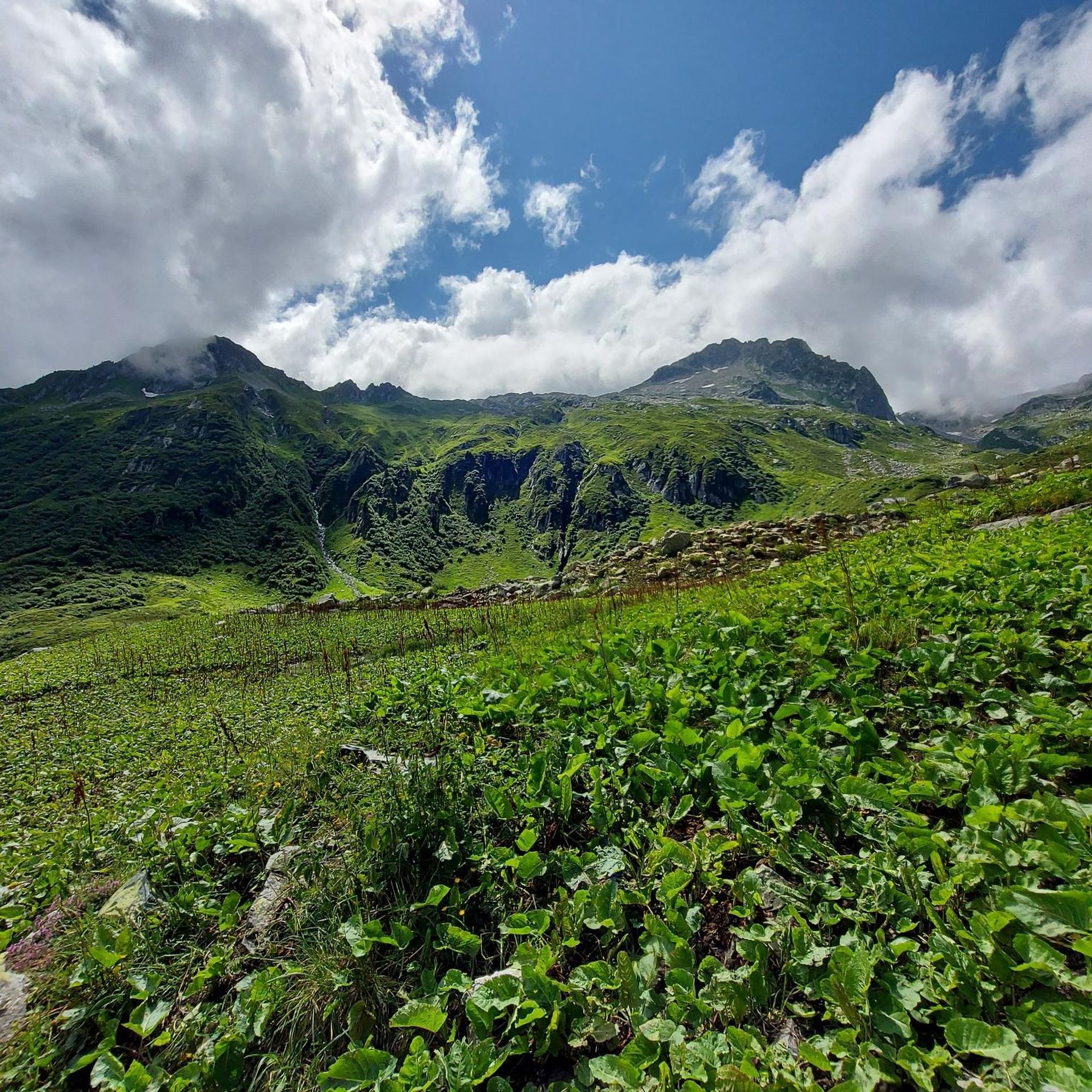
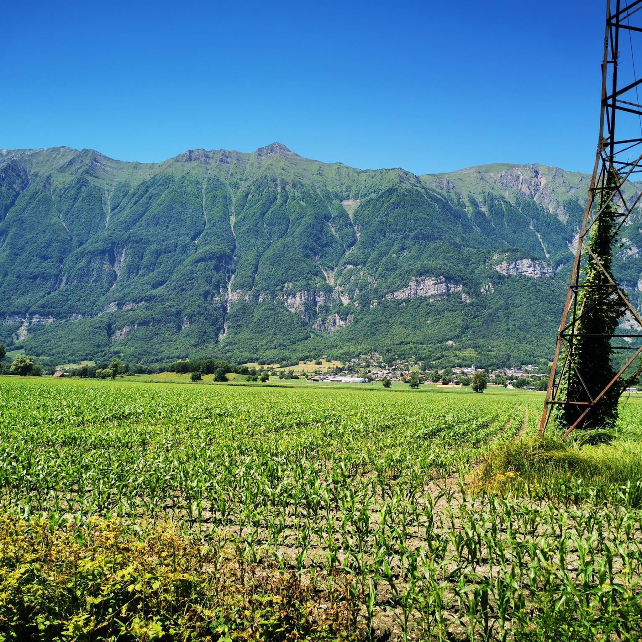
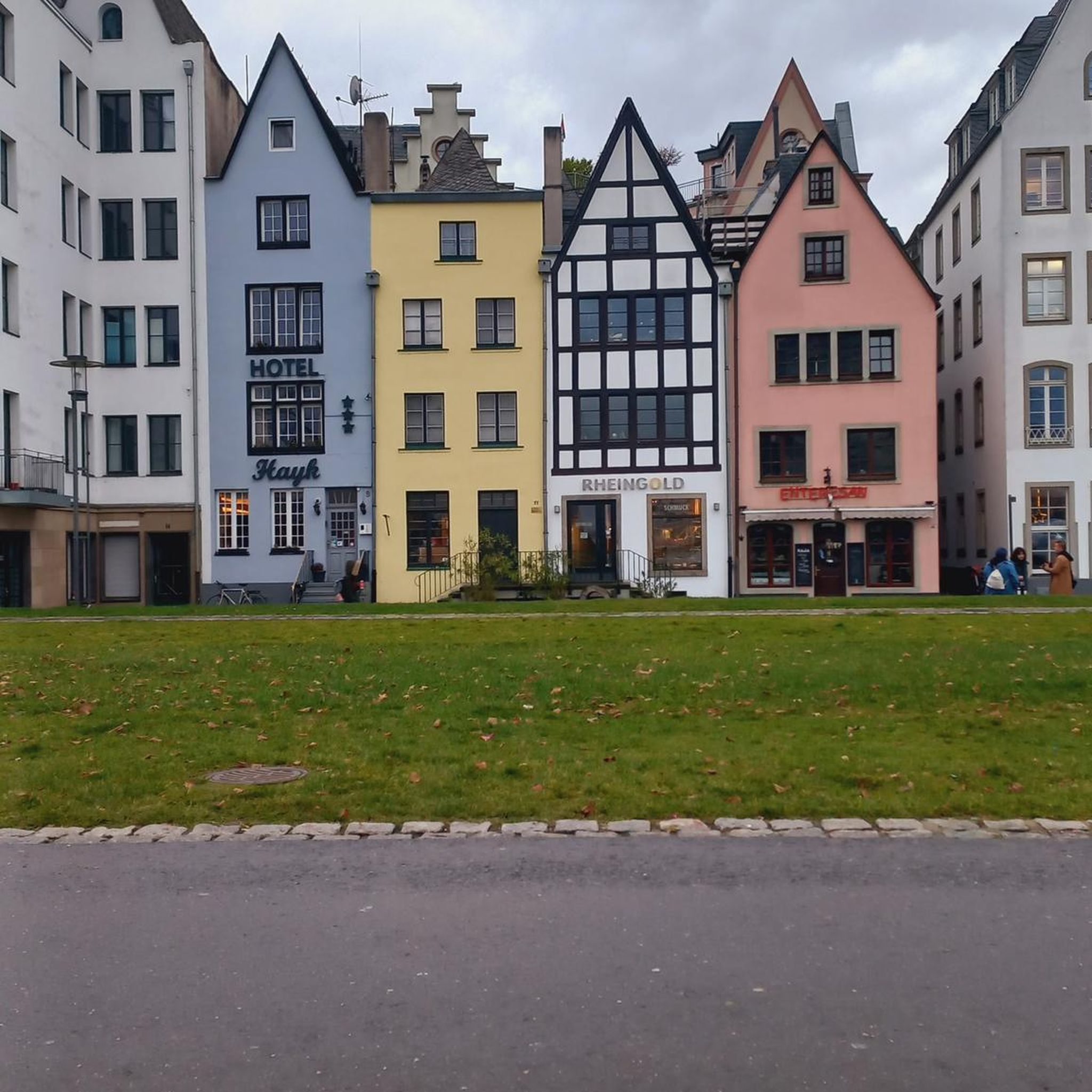
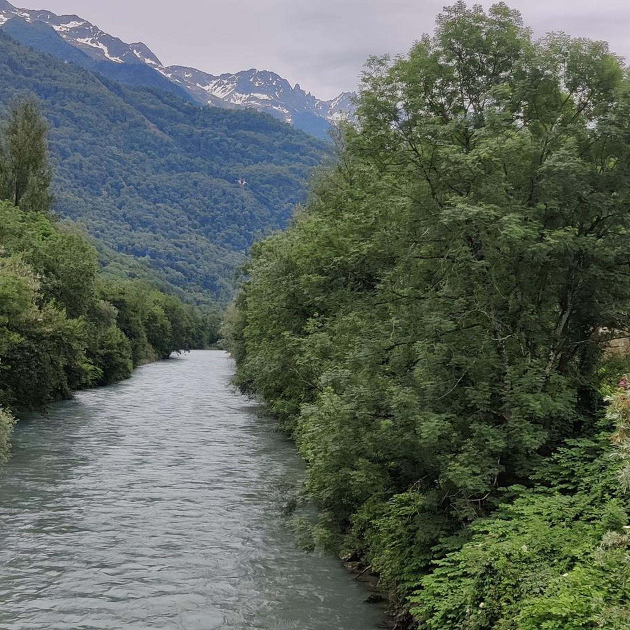

Tips from the Community


Ideally located along the Bella Via about fifteen kilometers from Albertville, cyclists can stop to refill their bottles and cool off. Other activities such as fishing or tennis are also practiced here. Surrounding massifs: Bauges to the north, Belledonne and Vanoise to the south
0
0

Beautiful church and small water spot.
2
0
Transit town in the valley, various options for mountains.
2
0

Surrounded by mountains, a castle, vineyards, fields, and streams, what more could you ask for
0
0
Every cemetery has water... Drinkable or not 😂
0
0
The place is clean and pleasant. There's room for everyone: fishermen, walkers, swimmers, cyclists...
0
0
The place is nice and clean. Ideal for fishing and plenty of room for swimming. A greenway runs alongside the pond...
0
0
Frequently Asked Questions
How many gravel bike trails are available around Randens?
There are currently 9 gravel bike trails documented around Randens on komoot, offering a range of experiences from moderate to difficult.
What kind of terrain can I expect on gravel bike trails near Randens?
The Randens area, situated in the Savoie department, features diverse terrain ideal for gravel biking. You'll encounter mountainous sections with challenging climbs and scenic descents, river valleys offering more gentle rides, and dense forests. The surfaces vary, combining paved roads with gravel or dirt tracks, providing a true gravel biking experience.
Are there any family-friendly gravel biking options around Randens?
While many routes in the mountainous Savoie region can be challenging, the area also offers more accessible paths. For a less strenuous ride with scenic views, consider the View of Château de Miolans – Bike path loop from Frontenex. This moderate 55.6 km route offers a gentler experience suitable for families looking for a picturesque outing.
What are some notable natural features or landmarks I might see on a gravel bike ride?
The region around Randens is rich in natural beauty and historical sites. You might pass by the impressive Col du Grand Cucheron, enjoy a ride along the Nice bike path along the Isère river, or discover the serene Étang de Grésy. Historical sites like Fort Montgilbert also add to the scenic appeal.
Are there any circular gravel bike routes available?
Yes, several routes around Randens are designed as loops. For instance, the challenging Col du Grand Cucheron – Col du Grand Cucheron loop from Argentine offers a substantial ride through mountainous terrain. Another option is the View of Château de Miolans – Bike path loop from Frontenex, which is a moderate loop with views of local landmarks.
What is the best time of year for gravel biking in Randens?
The mountainous terrain around Randens makes spring through autumn generally the most favorable seasons for gravel biking. Summer ascents, particularly on passes like the Col du Grand Cucheron, are often highlighted for their shaded sections. Winter conditions can bring snow and ice, making many trails impassable or significantly more challenging.
What do other gravel bikers enjoy most about gravel biking in Randens?
The area is highly rated by the komoot community, with an average score of 4.8 stars from over 70 gravel bikers. Reviewers often praise the diverse terrain, from challenging mountain climbs to scenic river valleys, and the variety of surfaces that make for an engaging gravel biking experience.
Are there any long-distance gravel routes for experienced riders?
Absolutely. For experienced riders seeking a significant challenge, the Grignon Lake – Véloroute 62 loop from Montsapey is an excellent choice. This difficult route spans 131.4 km and involves substantial elevation gain, typically taking over 11 hours to complete. Another demanding option is the Col des Aravis – Col de l'Arpettaz loop from Cevins, covering 107.4 km with over 2000 meters of elevation.
Is public transport available to reach gravel biking trailheads in Randens?
While specific public transport connections directly to all trailheads might be limited in this mountainous region, Randens is part of the broader Savoie department. It's advisable to check local bus or train services connecting to larger towns in the Val d'Arc or Porte de Maurienne area, and then plan your route from there. Information on local transport can often be found via regional tourism websites.
Where can I find parking for my gravel bike adventures in Randens?
For routes starting from specific villages or towns, parking is generally available in designated public areas. For example, routes like the Col du Grand Cucheron – Col du Grand Cucheron loop from Argentine or the View of Château de Miolans – Bike path loop from Frontenex typically have starting points in or near villages where parking can be found. Always check local signage for any restrictions.
Are there any specific permits required for gravel biking in the Randens area?
Generally, no specific permits are required for gravel biking on public roads, forest tracks, or designated cycle paths in the Randens area. However, always respect private property and any local regulations or signage you may encounter, especially when riding through agricultural land or protected natural areas.
Are there any routes that offer significant elevation challenges?
Yes, the Randens area, being close to the French Alps, is perfect for riders seeking elevation. Routes like the Col du Grand Cucheron – Col du Grand Cucheron loop from Argentine feature over 2400 meters of elevation gain, making for a truly demanding ride. The Grignon Lake – Véloroute 62 loop from Montsapey also boasts nearly 2900 meters of climbing.
Can I find accommodation or places to eat near the gravel biking trails?
Randens is part of the Porte de Maurienne region, which offers various services for visitors. While Randens itself is a smaller commune, nearby villages and towns will have options for accommodation, cafes, and restaurants. For more information on local amenities, you can visit the official tourism website for the area: Porte de Maurienne Tourisme.
Most popular attractions around Randens

Get inspired with the komoot mobile app


Explore more
Browse the best Gravel rides in other regions.
