The best mountain hikes around Saint-Genès-Champanelle
4.8
(6)
41
hikers
3
hikes
Mountaineering routes Saint-Genès-Champanelle are situated within the Chaîne des Puys - Limagne Fault, a UNESCO World Heritage site characterized by approximately 80 extinct volcanoes. This region offers a diverse volcanic landscape, featuring prominent peaks such as Puy de Dôme and the twin volcanoes Puy de la Vache and Puy de Lassolas. The terrain includes varied elevations, from gentle slopes to more challenging ascents, providing a range of experiences for mountaineers. The area is defined by its unique geological formations, including…
Last updated: July 1, 2026
4.5
(4)
37
hikers
4.95km
01:54
360m
360m
Moderate mountaineering route. Good fitness required. Easily-accessible paths. Suitable for all skill levels.
5.0
(1)
2
hikers
3.26km
01:06
150m
150m
Easy mountaineering route. Great for any fitness level. Easily-accessible paths. Suitable for all skill levels.

Sign up for free
5.0
(1)
2
hikers
Hard mountaineering route. Good fitness required. Sure-footedness, sturdy shoes and alpine experience required.
Our route recommendations are based on thousands of hikes, rides, and runs completed by other people on komoot.
Start today with a free account
Your next adventure awaits.
Login or Signup
Popular around Saint-Genès-Champanelle

The Grande traversée du Massif Central by gravel bike

Conquering the trails – Auvergne by MTB
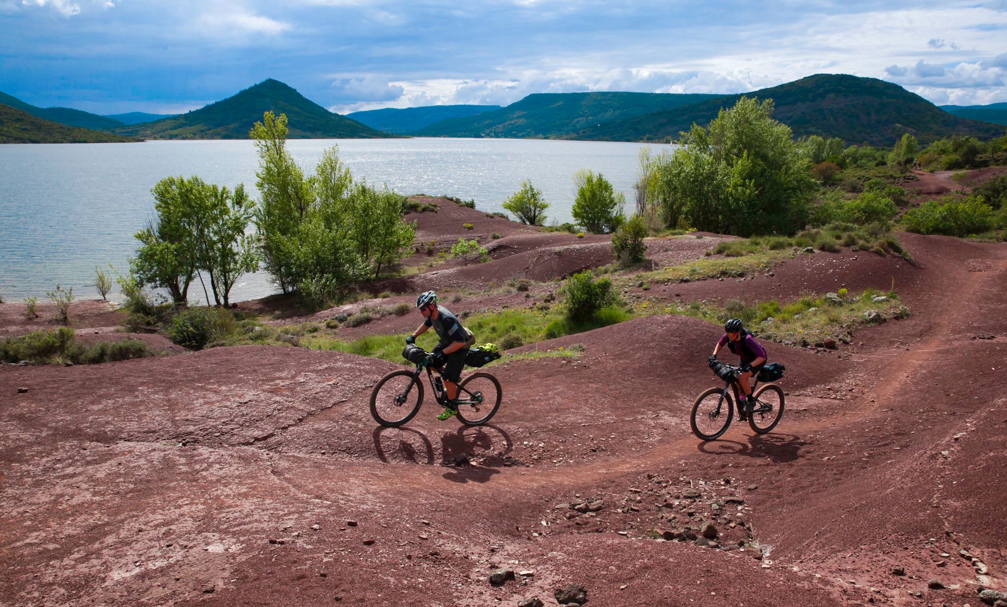
The Great Crossing of France's Massif Central by mountain bike
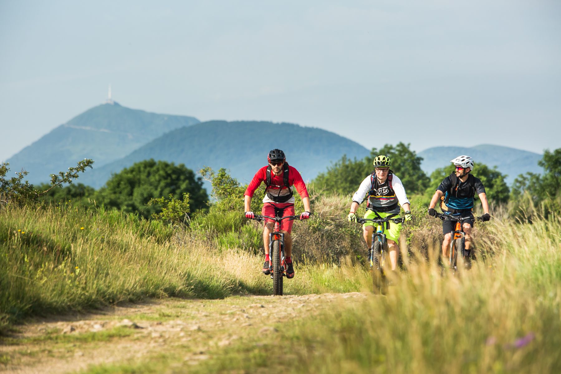
By MTB through the Auvergne — la traversée des volcans
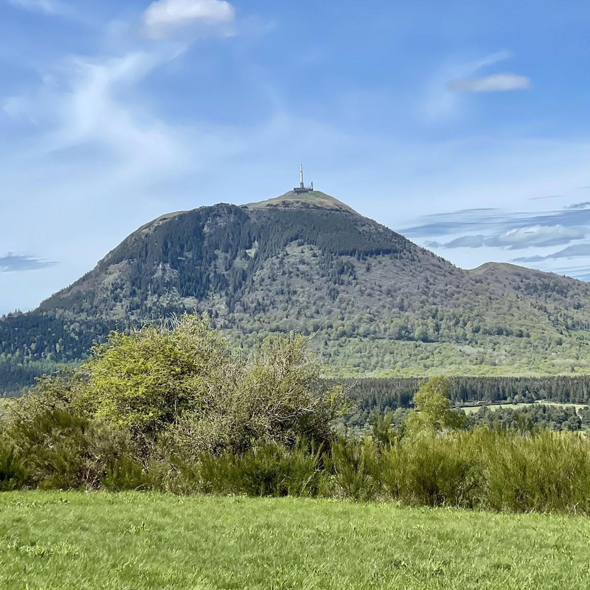
Hiking around Saint-Genès-Champanelle
Running Trails around Saint-Genès-Champanelle
MTB Trails around Saint-Genès-Champanelle
Cycling around Saint-Genès-Champanelle
Road Cycling Routes around Saint-Genès-Champanelle

Gravel biking around Saint-Genès-Champanelle
Other adventures around Saint-Genès-Champanelle


Tips from the Community

It's better to go up via Ceyssat and come back down via Orcines. The climb still hurts but there's less traffic and the descent is worth it 😉
0
0

Possibility of having a drink and/or something to eat just opposite the pass sign
0
0


Very beautifully preserved and restored temple complex.
0
0

Superb views of the Monts Dore, regular climb with “steps” made of wooden logs.
0
0

Steeeeeeep climb, but the view keeps getting better with every corner.
0
0

Heavy slope, but very beautiful. 350 altimeters for about 2200m.
0
0

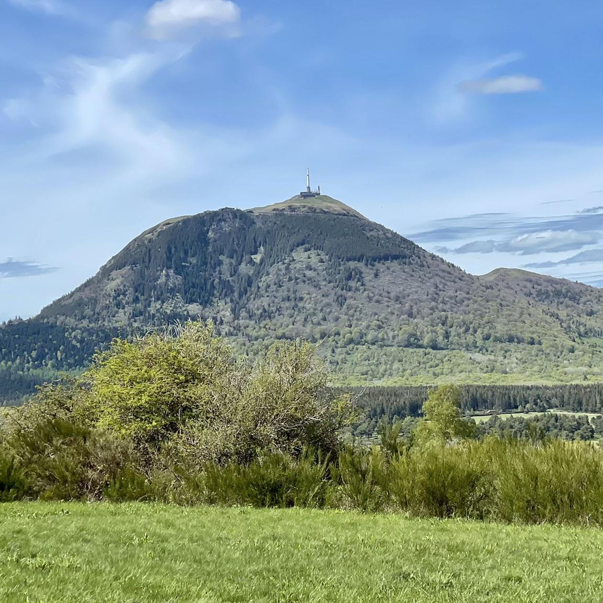
Beautiful views of the Puy de Dôme and volcanoes
0
0
Frequently Asked Questions
What kind of mountaineering routes can I find around Saint-Genès-Champanelle?
The region around Saint-Genès-Champanelle, nestled within the Chaîne des Puys - Limagne Fault, offers a diverse range of mountaineering routes. You'll find paths that traverse unique volcanic landscapes, from gentle ascents to more challenging climbs. The area features approximately 80 extinct volcanoes, providing varied terrain for all skill levels. There are 5 routes listed in this guide, including 2 easy, 2 moderate, and 1 difficult option.
Are there any challenging mountaineering routes in the area?
Yes, for those seeking a more demanding experience, there is a difficult mountaineering route available. Consider the Clierzou Caves – Bruyères des Moines loop from Parking du camp de la Fontaine du Berger, which covers 9.1 km and involves significant elevation changes. The broader Massif du Sancy, with peaks like Puy de Sancy, also offers more rugged and challenging mountain experiences.
Are there easy mountaineering routes suitable for beginners or a relaxed outing?
Absolutely. For a more relaxed mountaineering experience, you can explore routes like the Puy de Lassolas loop from Puy de la Vache, an easy 4.4 km path that takes you through the distinctive landscape around the twin volcanoes. Another easy option is the Mountaineering loop from Puy de la Vache, a 3.1 km route with moderate elevation changes.
What natural landmarks or attractions can I see along the mountaineering routes?
The routes offer access to several notable natural landmarks. You can reach the Puy de Dôme Summit, offering breathtaking panoramic views. The twin volcanoes, Puy de la Vache and Puy de Lassolas, are prominent features. You might also encounter the Puy Pariou Staircase or the ancient Temple of Mercury on Puy de Dôme.
Are there any circular mountaineering routes in the Saint-Genès-Champanelle area?
Yes, many of the mountaineering routes in the region are circular, allowing you to start and end at the same point. Examples include the popular Puy de Dôme loop from Puy de Dôme, the Puy de Lassolas loop from Puy de la Vache, and the Ceyssat Pass – Puy de Dôme Summit loop from Chaîne des Puys.
What do other mountaineers enjoy most about the routes in Saint-Genès-Champanelle?
The mountaineering routes around Saint-Genès-Champanelle are highly rated by the komoot community, with an average score of 4.9 stars from over 7 reviews. Mountaineers often praise the unique volcanic landscapes, the panoramic views from peaks like Puy de Dôme, and the variety of trails suitable for different abilities.
Is Saint-Genès-Champanelle a good destination for family-friendly mountaineering?
Yes, the region offers several family-friendly hiking and mountaineering options, particularly around the twin volcanoes of Puy de la Vache and Puy de Lassolas. These areas often feature routes with manageable distances and elevations, making them suitable for families. The unique geological features like cooled lava bombs and pozzolana can also be fascinating for children.
What is the best time of year for mountaineering in Saint-Genès-Champanelle?
The region is generally accessible for mountaineering from spring through autumn, when the weather is milder and trails are clear. Summer offers the warmest temperatures, while spring and autumn provide pleasant conditions with fewer crowds and beautiful seasonal colors. Winter mountaineering is possible but requires appropriate gear and experience due to snow and ice, especially at higher elevations like the Massif du Sancy.
Are there any specific passes or viewpoints worth visiting during a mountaineering trip?
Absolutely. The area is dotted with scenic passes and viewpoints. The Ceyssat Pass is a well-known starting point for routes to Puy de Dôme. Other passes like Bancillon Pass, Col de la Moréno (1065 m), and Ventouse Pass offer different perspectives of the volcanic chain. The summit of Puy de Dôme provides unparalleled 360-degree panoramic views.
Can I access the mountaineering trails using public transport?
While specific public transport details for every trailhead are not provided, the Puy de Dôme, a central feature of the region, is accessible via the Panoramique des Dômes rack railway. This can be a convenient way to reach the summit and access trails from there. For other trailheads, it's advisable to check local transport options or consider driving.
Are there any less crowded mountaineering routes or hidden gems?
While popular routes like the Puy de Dôme loop can attract visitors, exploring trails around lesser-known peaks such as Puy de Vichatel, Puy Giroux, Montagne de Laschamps, or Puy de Pourcharet, as mentioned in regional research, might offer a quieter experience. Additionally, the Clierzou Caves – Bruyères des Moines loop, being a difficult route, might see fewer visitors compared to easier, more central paths.
Most popular routes around Saint-Genès-Champanelle
Most popular attractions around Saint-Genès-Champanelle

Get inspired with the komoot mobile app


Explore more
Browse the best Mountain Hikes & Routes in other regions.
