The best gravel rides around Landéan
4.5
(67)
354
riders
43
rides
Gravel biking around Landéan offers diverse terrain, primarily shaped by its proximity to the expansive Fougères Forest. This region features a network of paths suitable for gravel riding, traversing through varied landscapes including woodlands and areas around the Étang de Chênedet. The topography includes gentle elevation changes, providing a mix of challenging and accessible routes. The Nançon river also contributes to the local hydrology, influencing some of the natural features encountered on trails.
Best gravel bike trails around Landéan
- The…
Last updated: November 1, 2026
4.7
(23)
67
riders
63.7km
03:17
280m
280m
Moderate gravel ride. Good fitness required. Mostly paved surfaces.
4.5
(12)
53
riders
88.9km
04:43
460m
460m
Hard gravel ride. Very good fitness required. Mostly paved surfaces.

5.0
(3)
30
riders
31.5km
02:06
190m
190m
Moderate gravel ride. Good fitness required. Mostly paved surfaces.
3.0
(1)
23
riders
Hard gravel ride. Very good fitness required. Mostly paved surfaces.
5.0
(4)
18
riders
42.7km
02:14
230m
220m
Moderate gravel ride. Good fitness required. Mostly paved surfaces.
Get access to more routes and recommendations from other explorers.
Already have an account?
Our route recommendations are based on thousands of hikes, rides, and runs completed by other people on komoot.
Start today with a free account
Your next adventure awaits.
Tips from the Community

Absolument sublime !!!
1
0


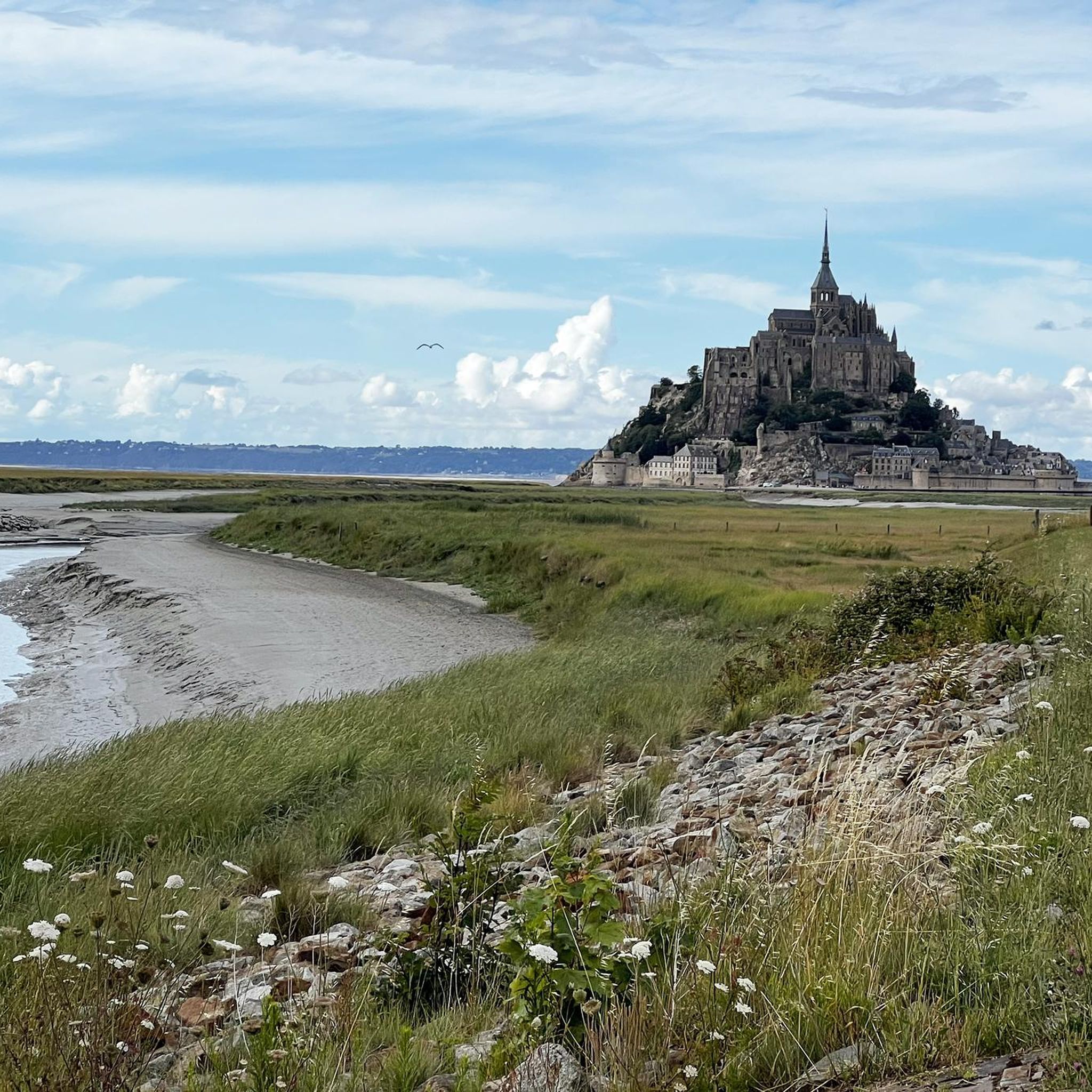
Mont-Saint-Michel is a world-famous rocky island and commune on the border between Normandy and Brittany in France. Crowned by a monumental, medieval Benedictine abbey, this architectural marvel has been a UNESCO World Heritage site since 1979. The bay of the mount is also known for Europe's strongest tides, with a tidal range of up to 14 meters.
2
0

Camping in the immediate vicinity of the greenway on the Régalante and about 200 meters from the Crêperie/Restaurant, bar: Les Régaleurs => https://www.les-regaleurs.com
0
0

The footpath along the Couesnon to the dam already offers an impressive view of Mont-Saint-Michel. From here, the path with an unobstructed view leads across the salt marshes and the bay, with the landmark of Normandy impressively rising against the wide landscape. Especially in calm weather and with changing light, atmospheric views emerge of Mont-Saint-Michel, the course of the Couesnon river, and the tide-shaped surroundings.
14
0
The Couesnon dam (Barrage du Couesnon) was completed in 2009 and is part of the measures to preserve the bay of Mont-Saint-Michel. The facility regulates the water flow of the Couesnon and supports the natural removal of sediments by the tides. This is intended to counteract the increasing silting up of the bay and preserve the special character of Mont-Saint-Michel as a tidal island. The dam also offers a popular viewpoint with a view of Mont-Saint-Michel and the surrounding salt marshes.
3
0

From there it looks the strongest !!!
2
0

Lovely route, first along the coast on good cycle paths, then after the large car park via all sorts of narrow roads and villages back to the campsite in Ceaux.
0
0
Frequently Asked Questions
How many gravel bike trails are available around Landéan?
There are over 45 gravel bike trails around Landéan, offering a diverse range of experiences for riders. These routes are highly rated by the komoot community, with an average score of 4.4 stars from over 50 reviews.
What is the general difficulty level of gravel biking in Landéan?
The gravel routes around Landéan offer a mix of challenges suitable for various skill levels. You'll find 3 easy trails, 25 moderate routes, and 18 more difficult options, ensuring there's something for everyone from beginners to experienced riders.
Are there any family-friendly gravel bike trails in Landéan?
Yes, Landéan offers several routes suitable for families, particularly those that are easier or moderate in difficulty. The extensive paths within the Fougères Forest and around the Étang de Chênedet provide relatively flat and scenic options. Look for routes with lower elevation gain and shorter distances for a more relaxed family outing.
Can I find circular gravel bike routes in the Landéan area?
Absolutely. Many of the gravel bike trails around Landéan are designed as loops, allowing you to start and finish at the same point. For example, the With Thierry loop from Lécousse is a moderate 19.6-mile (31.5 km) trail that takes you through the local countryside.
What natural features or landmarks can I expect to see along the gravel trails?
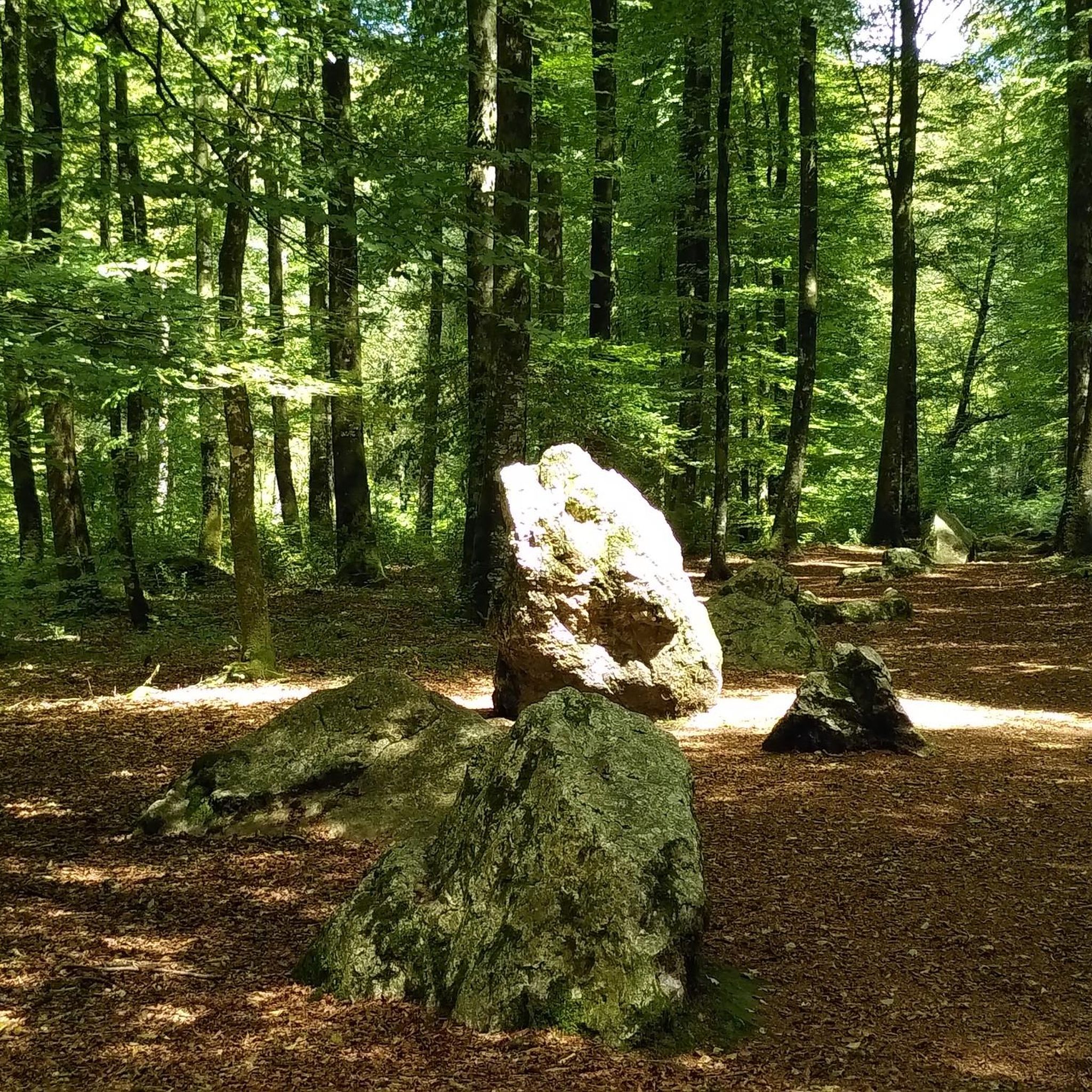
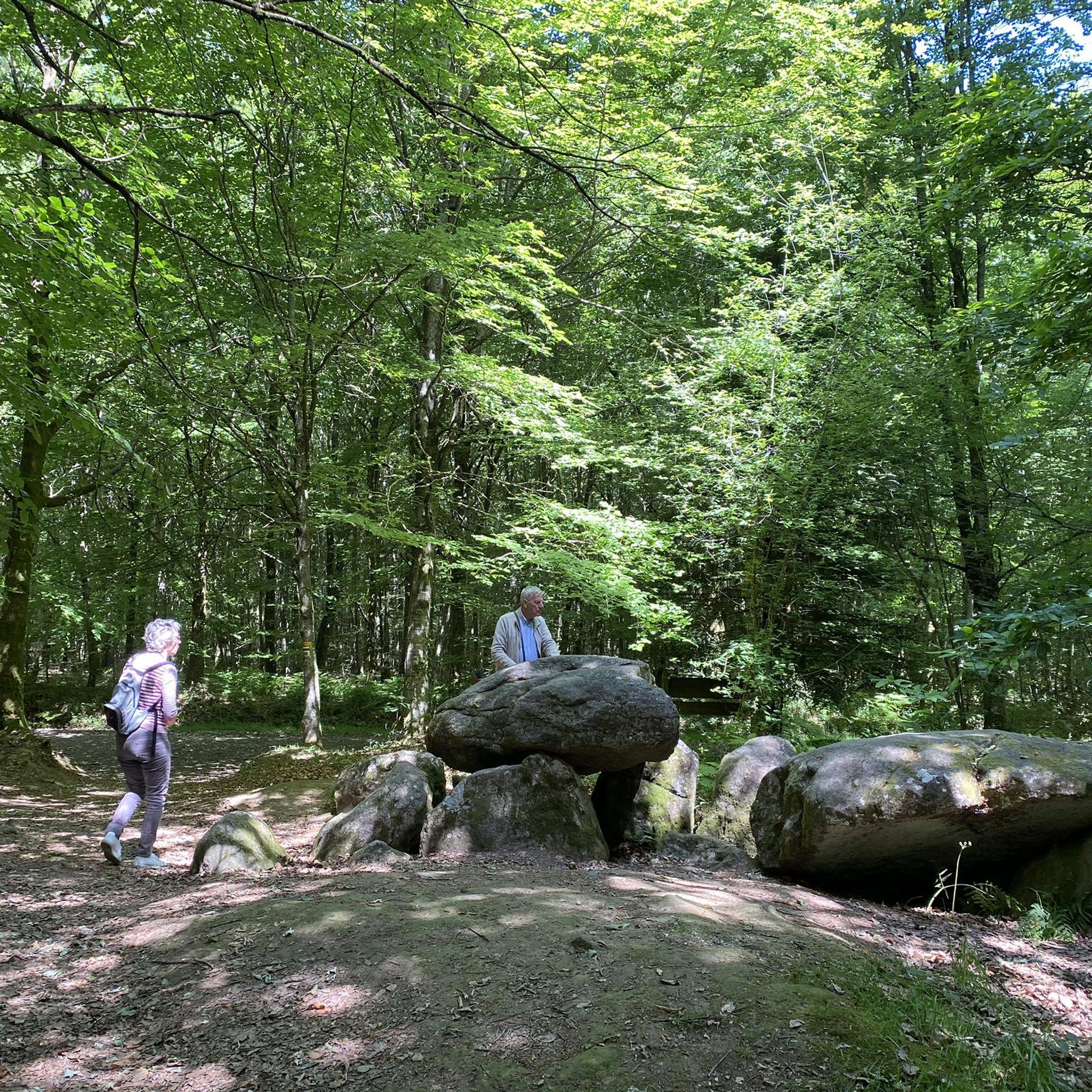
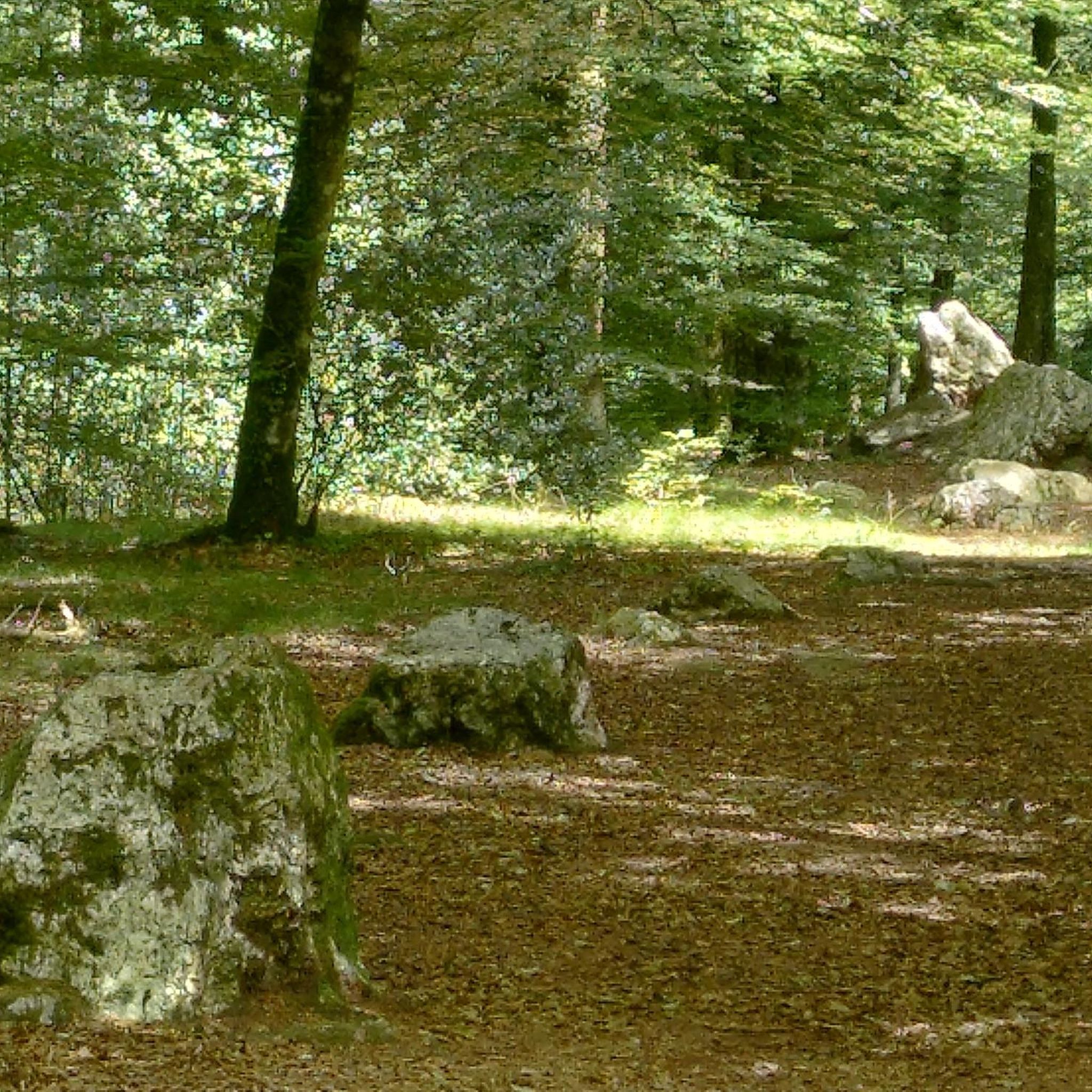
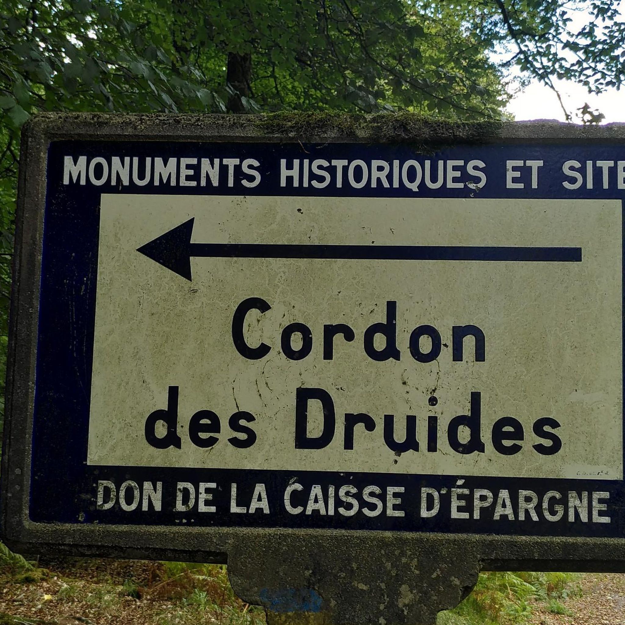
The gravel trails around Landéan are rich in natural beauty and historical sites. You'll often ride through the expansive Fougères Forest, past the Étang de Chênedet, and along the Nançon river. Historically, you might encounter remnants of an old Roman road or prehistoric sites like the dolmen of "Pierre du Trésor" and the "Cordon des Druides" megaliths. For a specific route that includes historical elements, consider the Fougères Castle – Cordon des druides loop from Fougères.
Are there any historical attractions near the gravel biking routes?
Yes, the Landéan area is steeped in history. You can visit the impressive Fougères Castle, explore the charming Place du Marchix with its half-timbered houses, or see the Belfry of Fougères. These sites offer a glimpse into the region's past and are often accessible from various gravel routes.
Where can I park my car when going gravel biking in Landéan?
Parking is generally available at key access points to the Fougères Forest and near popular trailheads. For routes starting from towns like Fougères or Lécousse, you can typically find public parking facilities. Specific parking information for individual routes can often be found on their respective komoot tour pages.
What is the best time of year to go gravel biking in Landéan?
The Fougères Forest and surrounding areas are beautiful year-round, but spring and autumn generally offer the most pleasant conditions for gravel biking. The weather is milder, and the natural scenery is vibrant with changing foliage or blooming flora. Summer can also be great, especially for routes that offer shade within the forest. Winter riding is possible, but trails might be muddier, and daylight hours are shorter.
Are there any long-distance or more challenging gravel routes available?
For experienced gravel bikers seeking a challenge, Landéan offers several longer and more difficult routes. The View of Mont Saint-Michel – The Couesnon at Beauvoir loop from Fougères is a difficult 77.1-mile (124.1 km) path that extends towards the coast, providing diverse landscapes and distant views. Another challenging option is the Regalante greenway – Railroad line to Pontorson loop from Lécousse, a moderate 58.6-mile (94.4 km) route.
Are there places to eat or drink near the gravel biking routes?
Yes, you'll find cafes and restaurants in the nearby towns and villages such as Landéan, Fougères, and Lécousse. These spots are perfect for a break before or after your ride. The Chênedet Leisure Base, located next to a large body of water in the Fougères Forest, also offers facilities for picnicking and sometimes has seasonal food options.
Can I access the gravel trails using public transport?
While Landéan itself is a smaller commune, the larger town of Fougères, which serves as a starting point for many routes, is more accessible by public transport. From Fougères, you can often cycle to the trailheads. It's advisable to check local bus schedules and routes for connections to Landéan and surrounding areas.
Most popular attractions around Landéan

Get inspired with the komoot mobile app


Explore more
Browse the best Gravel rides in other regions.
