The best walks and hikes around Le Compas
4.6
(25)
78
hikers
23
hikes
Hiking around Le Compas offers access to the diverse landscapes of the Creuse department in France's Nouvelle-Aquitaine region. The area features farming land, small villages, and river valleys like that of the Jarasse. The broader region is characterized by wooded valleys, numerous lakes, and parts of the Millevaches Plateau, providing varied terrain for exploration. These natural features contribute to a network of trails suitable for different hiking experiences.
Best hiking trails around Le Compas
- The most popular hiking route is…
Last updated: November 1, 2026
4.9
(8)
15
hikers
11.9km
03:23
260m
260m
Moderate hike. Good fitness required. Easily walkable paths.
4.5
(2)
7
hikers
9.12km
02:30
150m
150m
Moderate hike. Good fitness required. Easily walkable paths.

4
hikers
8.60km
02:18
100m
100m
Moderate hike. Good fitness required. Easily walkable paths.
5.0
(1)
4
hikers
4.08km
01:06
50m
50m
Easy hike. Easily walkable paths.
5.0
(1)
3
hikers
3.94km
01:05
60m
70m
Easy hike. Easily walkable paths.
Get access to more routes and recommendations from other explorers.
Already have an account?
Our route recommendations are based on thousands of hikes, rides, and runs completed by other people on komoot.
Start today with a free account
Your next adventure awaits.


Tips from the Community

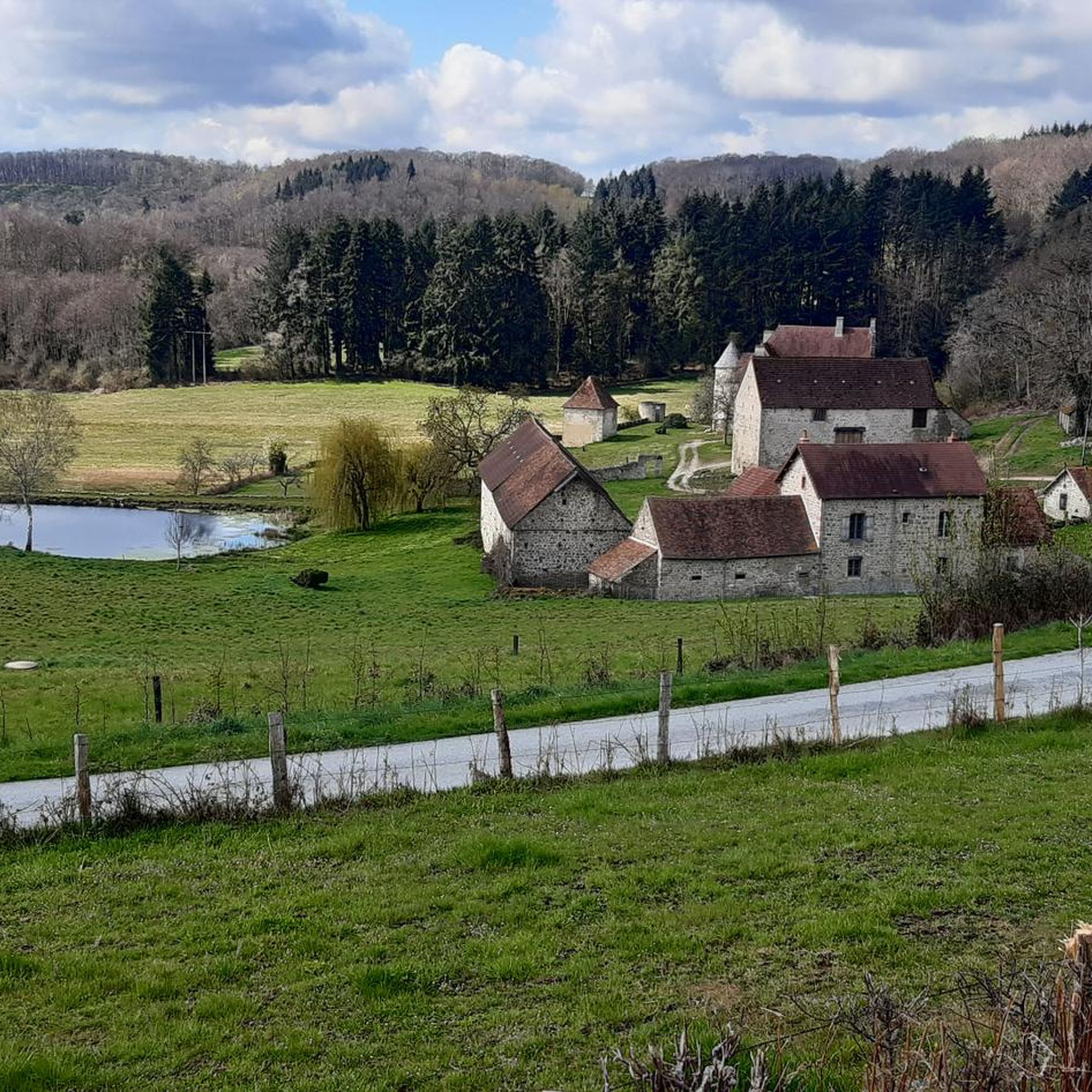
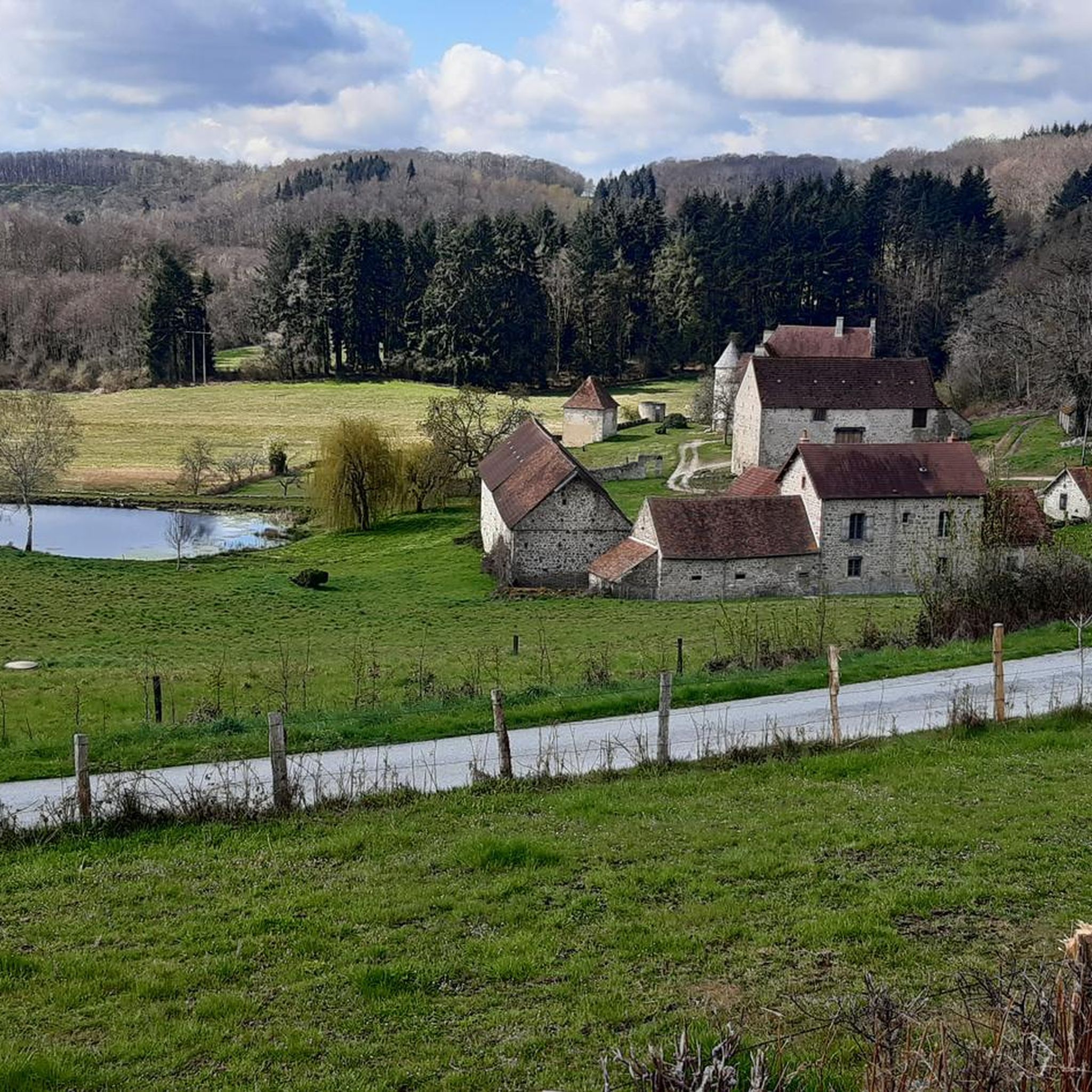
The history of the castle dates back at least to 1195, when it was owned by the Durat family. It is classified as a historic monument. But it was the subject of reconstruction between the 16th and 19th centuries.
0
0
Frequently Asked Questions
How many hiking trails are available around Le Compas?
There are over 15 hiking trails around Le Compas, offering a variety of experiences from easy walks to more challenging routes. You'll find options suitable for different ability levels, from leisurely strolls to more demanding treks.
What kind of terrain can I expect on hikes near Le Compas?
Hikes around Le Compas feature diverse terrain, characteristic of the Creuse department. You can expect to traverse wooded valleys, agricultural areas, and paths along river landscapes, such as the valley of the River Jarasse. The broader region also offers glimpses of the Millevaches Plateau and areas with more dramatic gorges and elevation changes.
Are there any easy or family-friendly hiking options in Le Compas?
Yes, Le Compas offers several easy and family-friendly hiking options. For instance, the Beautiful hollow path loop from Auzances is an easy 2.2-mile (3.5 km) trail that can be completed in under an hour, perfect for a relaxed family outing. In total, there are 7 easy routes available.
Are there any circular hiking routes around Le Compas?
Yes, many of the trails around Le Compas are designed as circular routes, allowing you to start and end at the same point. A popular example is the Pouges du Puy de la Croix loop from Lupersat, which is a moderate 7.4-mile (11.9 km) trail offering scenic views.
What are some notable landmarks or historical sites I can see while hiking near Le Compas?
While hiking in the vicinity of Le Compas, you can integrate cultural and historical sights into your walks. Within the village, there's a twelfth-century church. Further afield, you might encounter the ancient "Pierres Folles" dolmen near Marcillat-la-Farge, or the ruins of Château de Lavaud-Blanche and Château de Lavaud-Chaussade, adding historical interest to your natural exploration.
Are there any viewpoints or scenic panoramas on the trails?
Yes, the region offers several scenic viewpoints. The Pouges du Puy de la Croix loop from Lupersat provides views from the Puy de la Croix. Another excellent option is the Vue sur Auzances – Croix loop from Auzances, which offers scenic vistas over Auzances and the surrounding countryside. The wider Creuse region is also known for dramatic gorges and panoramas, particularly where the Creuse and Sédelle rivers meet.
What do other hikers enjoy most about hiking in Le Compas?
The hiking experience around Le Compas is highly rated by the komoot community, with an average score of 4.7 stars. Hikers often praise the quiet, unspoiled natural beauty, the diverse landscapes of wooded valleys and river areas, and the well-maintained network of trails suitable for various skill levels.
Are there any lakes or significant water features to discover on hikes?
While Le Compas itself is situated in the valley of the River Jarasse, the broader Creuse department is known for its numerous lakes. You can find trails winding along the edges of larger lakes like Lake Vassivière, or smaller ones such as Vaud-Gelade, offering stunning viewpoints and opportunities to enjoy water features within a reasonable distance.
Is it possible to find dog-friendly trails around Le Compas?
Many of the natural trails and paths in the Le Compas area are suitable for walking with dogs, provided they are kept under control, especially in agricultural areas or near livestock. It's always recommended to check local signage for any specific restrictions, but generally, the open countryside is welcoming to well-behaved dogs.
What is the best time of year to go hiking in Le Compas?
The best time to hike in Le Compas is typically during spring, summer, and early autumn. These seasons offer pleasant weather conditions for exploring the wooded valleys, river landscapes, and agricultural areas. Spring brings blooming flora, while autumn showcases beautiful fall foliage. Summers are generally warm and ideal for longer excursions.
Are there any challenging hikes for experienced walkers near Le Compas?
Yes, while many routes are moderate or easy, the wider Creuse region, which Le Compas is part of, offers more challenging options. Areas like Crozant-Fresselines are known for significant elevation changes and dramatic gorges, providing a more strenuous experience for experienced hikers seeking a challenge.
Where can I find parking for hiking trails in Le Compas?
Parking for hiking trails in Le Compas and the surrounding communes is generally available in village centers or designated parking areas near trailheads. For specific routes, it's advisable to check the komoot tour details, as they often provide information on starting points and nearby parking facilities.

Get inspired with the komoot mobile app


Explore more
Browse the best Hikes in other regions.
