The best mountain hikes around Pers-Jussy
5.0
(7)
69
hikers
8
hikes
Mountaineering routes Pers-Jussy are situated in the Haute-Savoie department of France, on the northeastern edge of the Plateau des Bornes. The region is characterized by its proximity to Mont Salève, a prominent Pre-Alps formation geologically linked to the Jura chain, featuring steep slopes, narrow gorges, and limestone erosion. This diverse terrain offers varied opportunities for ascents and exploration within a mountainous landscape.
Best mountaineering routes around Pers-Jussy
- The most popular mountaineering route is Chalet de Pré-Berger loop from Veyrier,…
Last updated: July 1, 2026
5.0
(1)
19
hikers
11.9km
05:04
820m
820m
Hard mountaineering route. Very good fitness required. Mostly accessible paths. Sure-footedness required.
5.0
(4)
15
hikers
9.60km
04:31
750m
750m
Hard mountaineering route. Good fitness required. Sure-footedness, sturdy shoes and alpine experience required.

Sign up for free
5.0
(1)
12
hikers
Hard mountaineering route. Good fitness required. Sure-footedness, sturdy shoes and alpine experience required.
6
hikers
7.02km
03:16
590m
590m
Moderate mountaineering route. Good fitness required. Mostly accessible paths. Sure-footedness required.
5.0
(1)
6
hikers
Moderate mountaineering route. Good fitness required. Mostly accessible paths. Sure-footedness required.
Get access to more routes and recommendations from other explorers.
Sign up for free
Already have an account?
Our route recommendations are based on thousands of hikes, rides, and runs completed by other people on komoot.
Start today with a free account
Your next adventure awaits.
Login or Signup

Tips from the Community

La Corraterie is a narrow rocky ledge and cliff path on the west flank of Mont Salève (the so-called “Balcony of Geneva”) in Haute-Savoie (France). From here, you have breathtaking panoramic views of Lake Geneva, the city of Geneva, and the Jura Mountains. Highlights along the path besides the view ;-): ⭐ The passage cave Grotte d'Orjobet. ⭐ Trou de la Tine: An impressive natural rock arch and sinkhole formed by erosion in the cliffs of La Corraterie. ⭐ Numerous climbers can be observed on the vertical limestone walls. And here is the story behind the flag on the mountain path: It is not the Swiss flag, but the coat of arms of Savoy (meaning no white cross, but the bars extend to the edge). It all began in the late 1960s. American students from the nearby Adventist campus in Collonges-sous-Salève climbed the steep rock face after a night of revelry. Since the mountain offers a direct view of Geneva, they were firmly convinced they were in Switzerland. They painted a huge Swiss flag on the rocks. However, Mont Salève is geographically located in France (Haute-Savoie region). The local French residents found the Swiss flag on their mountain to be an affront. Local activists climbed up and painted over the Swiss cross, turning it into the coat of arms of Savoy (Cross of Savoy) to emphasize the French-Savoyard affiliation. To this day, unknown individuals (mostly from Geneva) regularly climb the wall at night to shorten the bars and turn the Savoy coat of arms back into a Swiss flag.
0
0

Only open to go in a few days if the week - I think Wed, Sat and Sun. View is still good from outside!
0
0

The section from La Muraz to Cruseille, passing through Le Sappey, and then the climb from Cruseille to La Croisette are really nice. Beautiful road, few cars and gentle slope!
0
0


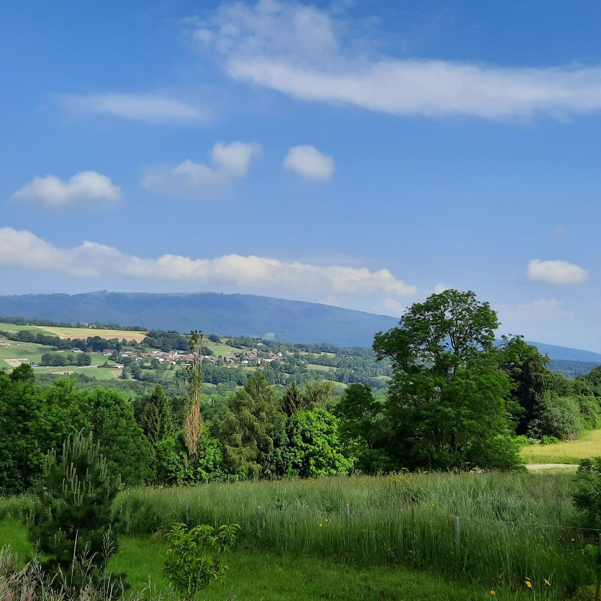
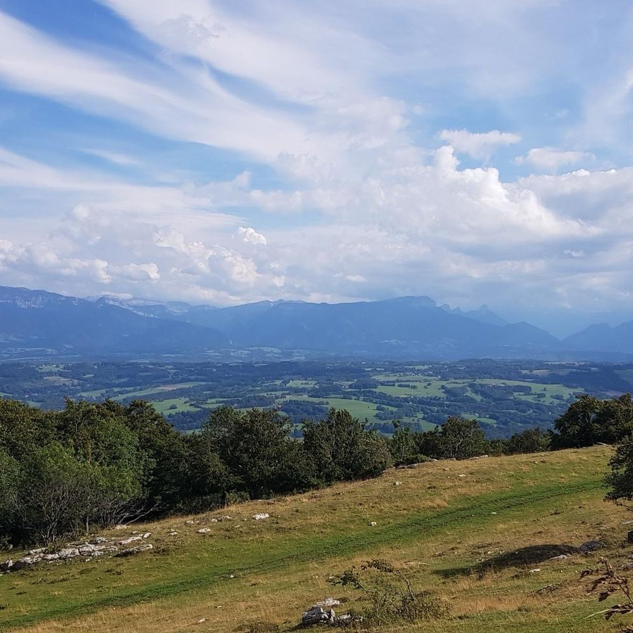
A beautiful view of Geneva, or rather, its clouds.
0
0
Le Trou de la Tine (Trou of the Tine Cave) was formed by erosion on the flank of Mont Salève. It is a deep, sunken hole shaped like an open-topped barrel ("Tine" is an old dialect term for barrel, "trou" means hole). The cave's ceiling has collapsed due to erosion, revealing a natural "barrel" with a side opening. One can walk into the "barrel" through this side opening.
0
0

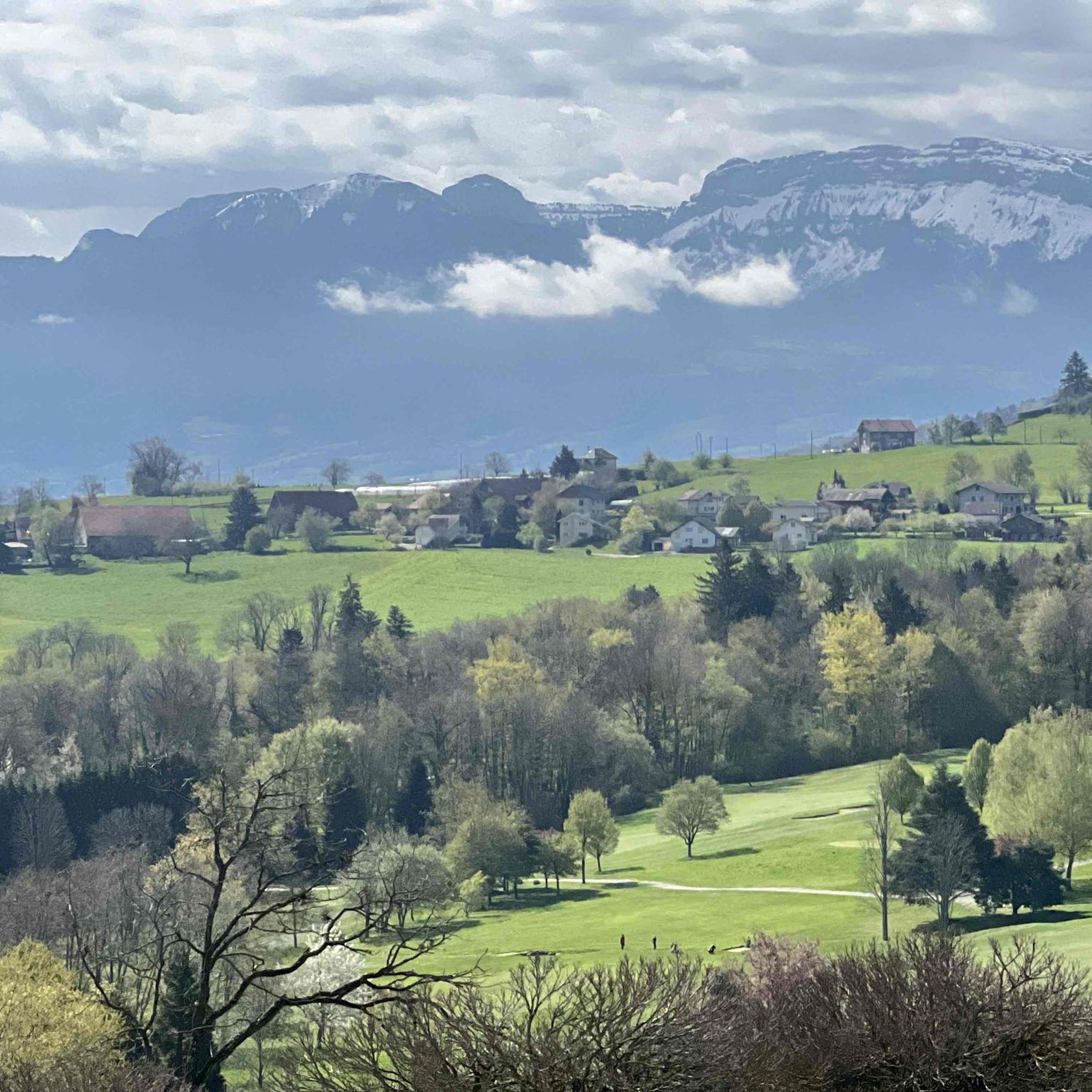
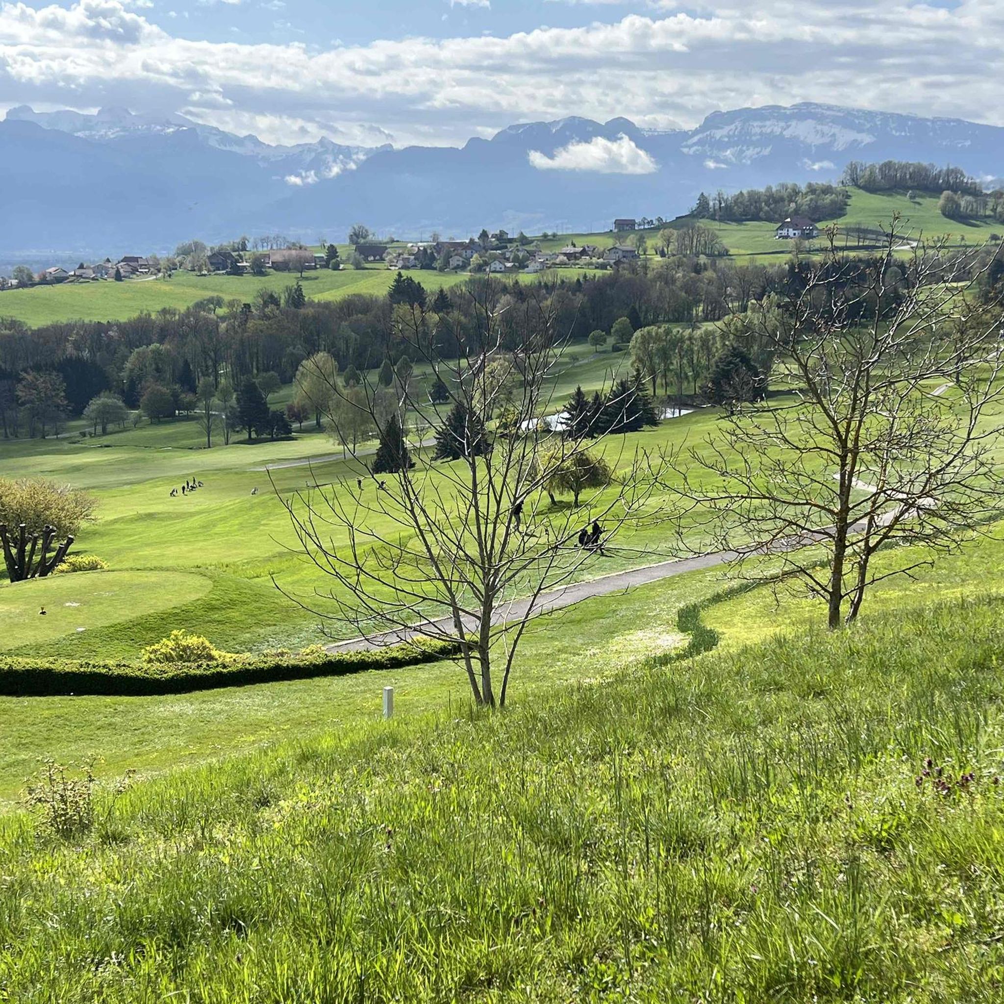
Cycling down from Salève, this breathtaking view of the Geneva region and the lake is the final reward of this demanding climb. You can dream for a long time in front of this landscape, or have a drink, stretch out on the lawn, and watch the paragliders fly just above. SUMMER SEASON | FROM APRIL 1, 2025 TO NOVEMBER 2, 2025 Open daily. Last ascent at 6:30 p.m. | Last descent at 6:45 p.m. Late openings on Thursdays, Fridays, and Saturdays: Last ascent at 10:30 p.m. | Last descent at 10:45 p.m. The 360° terrace closes at 6:30 p.m. Prices: €18 (adult) / €13 (reduced) / €6.50 (children)
0
0

Frequently Asked Questions
How many mountaineering routes are available around Pers-Jussy?
There are 9 mountaineering routes available around Pers-Jussy, offering a variety of experiences for different skill levels.
What is the overall difficulty level of mountaineering routes in Pers-Jussy?
The routes around Pers-Jussy cater to a range of abilities. You'll find 4 moderate routes and 5 difficult routes, ensuring options for both those seeking a solid challenge and those looking for a less strenuous ascent.
When is the best time of year for mountaineering in Pers-Jussy?
The region is generally best explored during the warmer months, from late spring to early autumn, when trails are clear of snow and weather conditions are more stable. However, some routes on Mont Salève might offer cross-country skiing opportunities in winter, but mountaineering typically requires snow-free conditions.
What makes the mountaineering terrain around Pers-Jussy unique?
The terrain is largely defined by the Pre-Alps formations of Mont Salève, known for its steep slopes, narrow gorges, and distinctive limestone features like caves. You'll also encounter forest roads of the Plateau des Bornes, offering a diverse and engaging landscape for ascents and exploration.
Are there any circular mountaineering routes near Pers-Jussy?
Yes, several routes are designed as loops, allowing you to start and end at the same point. For example, consider the Chalet de Pré-Berger loop from Veyrier or the Montagne de Sous-Dîne loop from La Culaz.
Are there options for more advanced mountaineers seeking a challenge?
Absolutely. For experienced mountaineers, routes like Crossing the trou de la roche – La Coraterie Cliff loop from Collonges-sous-Salève offer difficult terrain and significant elevation gains, traversing dramatic cliff formations with expansive views.
What are some good options for beginner mountaineers in the area?
While many routes are challenging, some moderate options can be suitable for those with some experience. The Orjobet Cave – Croisette Pass loop from Collonges-sous-Salève is a moderate route that offers a rewarding experience without the extreme demands of the most difficult trails.
Are there any technical climbing routes or via ferratas near Pers-Jussy?
Mont Salève, often called the 'Balcony of Geneva,' is a respected sports ground for various activities, including climbing. Its geological features, such as the Varappe gorges, provide terrain for climbing. While specific via ferrata routes aren't detailed, the region's limestone cliffs offer opportunities for technical ascents.
What interesting natural monuments can I discover along the mountaineering routes?
The region is rich in natural wonders. You might encounter the Orjobet Cave, named after a local guide, or the unique The Trou de la Tine, a barrel-shaped hole formed by erosion on Mont Salève. These features showcase the area's distinctive limestone geology.
Are there any family-friendly mountaineering routes around Pers-Jussy?
While many mountaineering routes are challenging, some of the moderate trails, particularly those with shorter distances and less extreme elevation, can be enjoyed by families with older children who are accustomed to hiking. Always check the specific route details for distance, elevation, and terrain to ensure it's suitable for your family's experience level.
What do other mountaineers enjoy most about the routes in Pers-Jussy?
The mountaineering routes in Pers-Jussy are highly rated by the komoot community, with an average score of 5.0 stars. Users often praise the diverse terrain, the challenging ascents, and the expansive views, particularly from Mont Salève, which offers panoramas of Geneva and Lake Annecy.
Can I bring my dog on the mountaineering trails?
Dog regulations can vary by specific trail and protected area within the Haute-Savoie region. It's always recommended to check local signage at trailheads or consult with local tourism offices regarding dog policies, especially concerning leash requirements and access to nature reserves, to ensure a pleasant and compliant experience for you and your pet.
Are there any viewpoints offering spectacular scenery along the trails?
Yes, the region is renowned for its breathtaking views. Mont Salève, often called the 'Balcony of Geneva,' offers incredible panoramas. Highlights include the View of Mont Blanc and Lake Annecy from Mont Salève and the Grand Piton Tour, providing stunning vistas of the surrounding Alps and valleys.
Most popular routes around Pers-Jussy
Most popular attractions around Pers-Jussy

Get inspired with the komoot mobile app


Explore more
Browse the best Mountain Hikes & Routes in other regions.
