The best gravel rides around Plancherine
4.8
(8)
48
riders
5
rides
Gravel biking around Plancherine provides access to diverse terrain in the Savoie department of France, situated near the Massif des Bauges Regional Natural Park and Lac d'Annecy. The region is characterized by limestone reliefs, dense forests, and expansive alpine meadows. Riders can expect an alpine environment with numerous passes and varied surfaces, offering a rich environment for gravel adventures.
Best gravel bike trails around Plancherine
- The most popular gravel bike trail is Chérel Pass loop from Faverges, a 32.7…
Last updated: May 20, 2026
4.8
(4)
17
riders
52.6km
03:50
1,150m
1,150m
Hard gravel ride. Very good fitness required. Mostly paved surfaces. Suitable for all skill levels.
6
riders
42.4km
03:42
1,420m
1,430m
Hard gravel ride. Very good fitness required. Mostly paved surfaces. Suitable for all skill levels.

Sign up for free
4.5
(2)
8
riders
16.1km
01:03
130m
130m
Easy gravel ride. Great for any fitness level. Mostly paved surfaces. Suitable for all skill levels.
7
riders
Moderate gravel ride. Good fitness required. Mostly paved surfaces. Suitable for all skill levels.
8
riders
28.2km
01:52
330m
330m
Hard gravel ride. Good fitness required. You may need to push your bike for some segments of this route.
Our route recommendations are based on thousands of hikes, rides, and runs completed by other people on komoot.
Start today with a free account
Your next adventure awaits.
Login or Signup
Popular around Plancherine
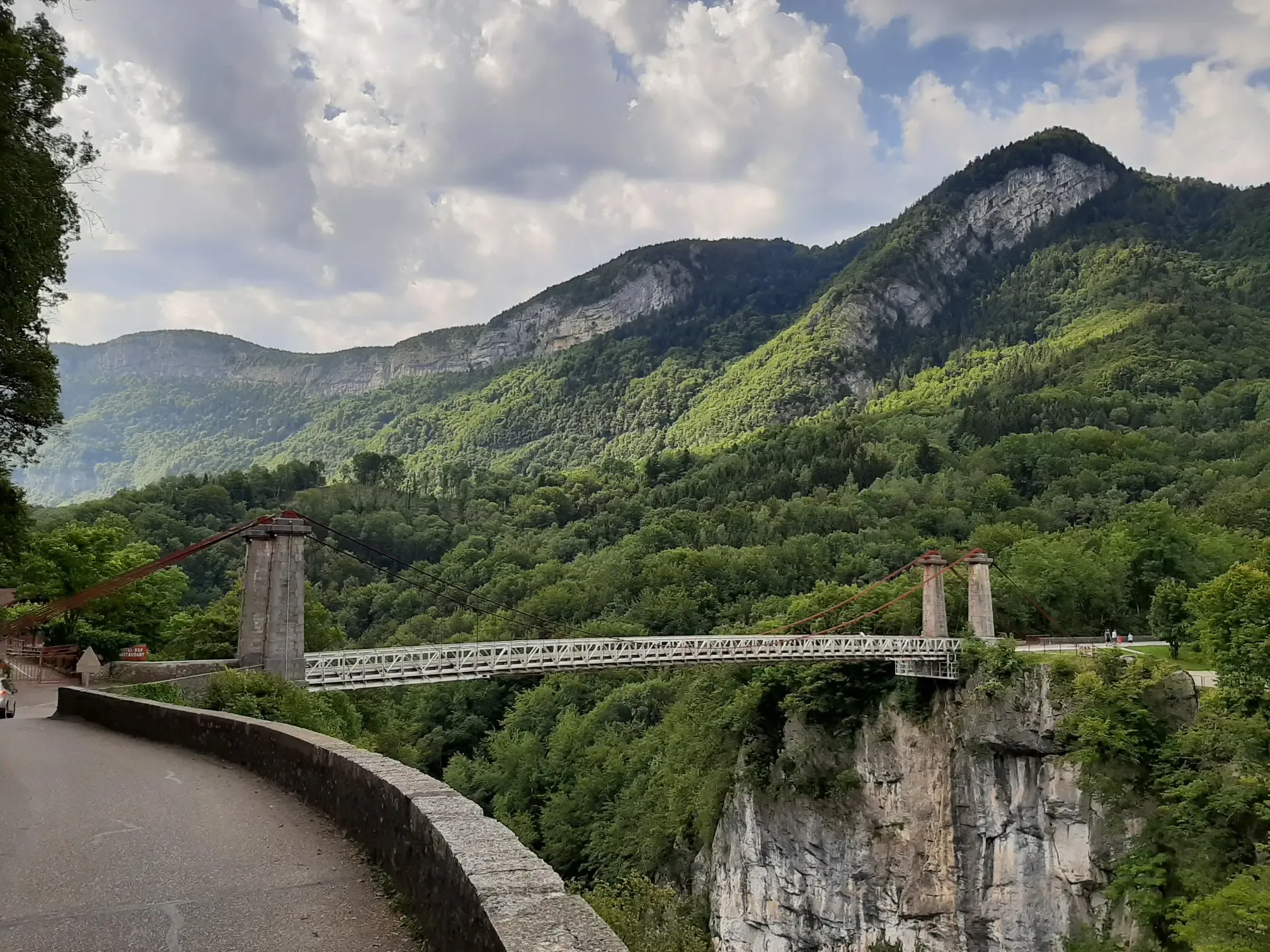
Discovering a little-known massif – cycling France’s Tour des Bauges
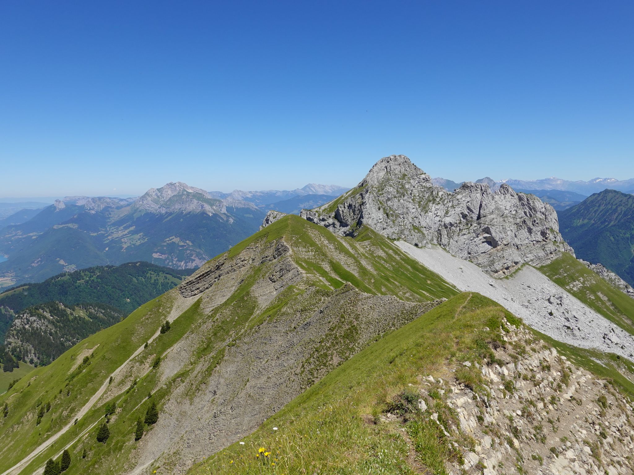
Running the peaks — reach the summits of the Bauges 2000ers
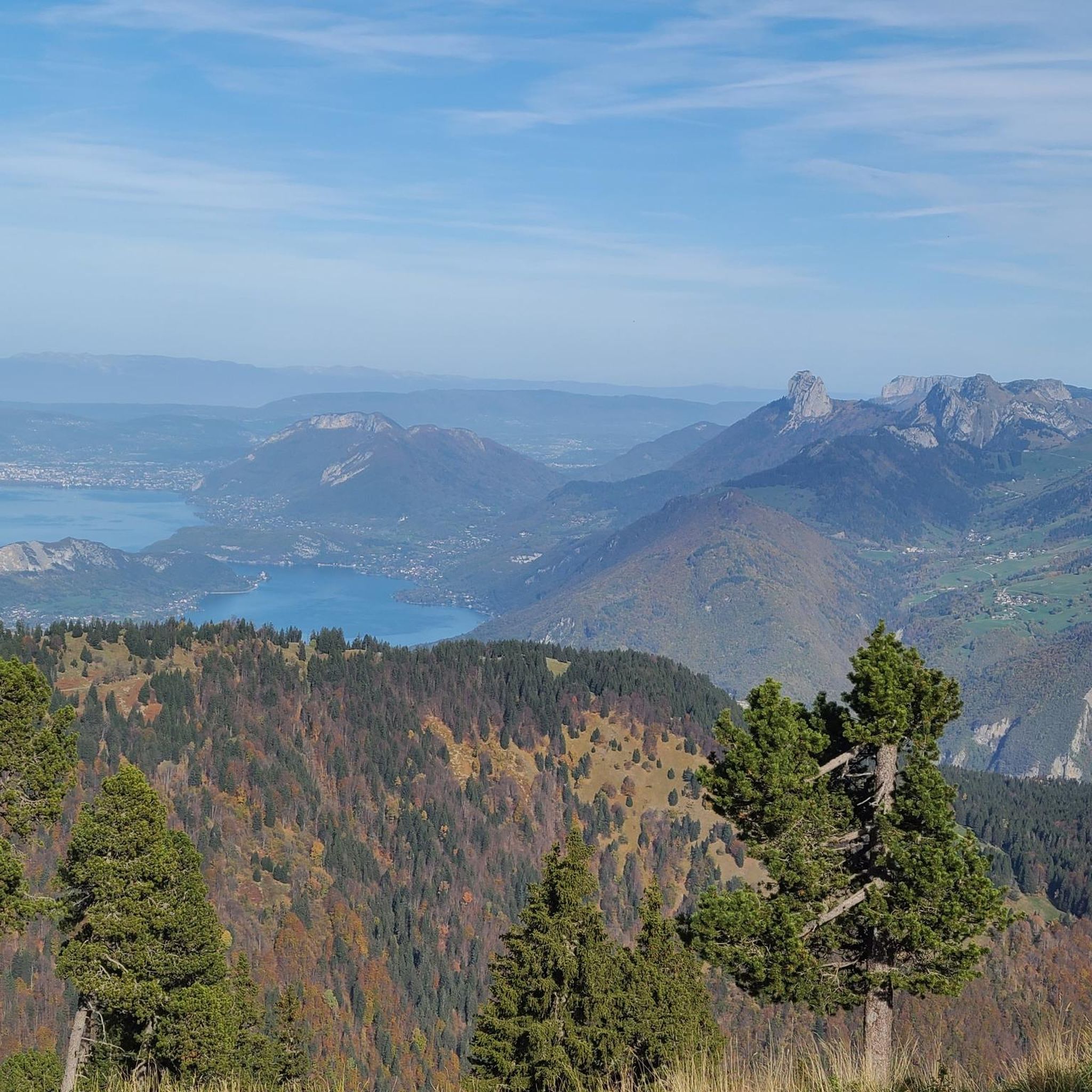
Road Cycling Routes around Plancherine
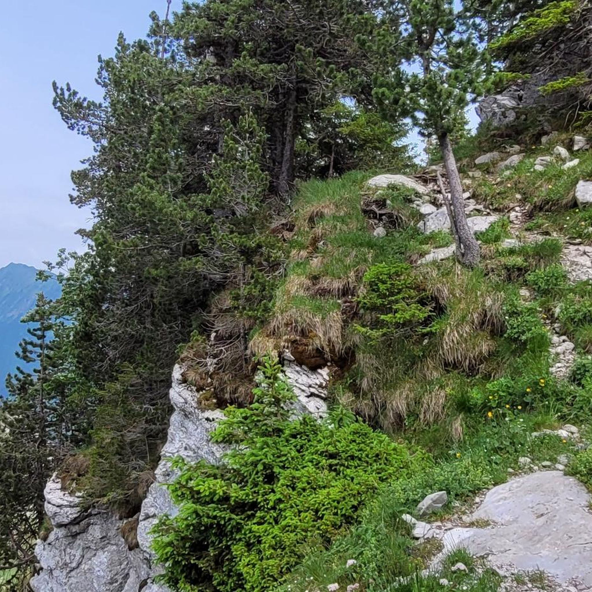
Hiking around Plancherine
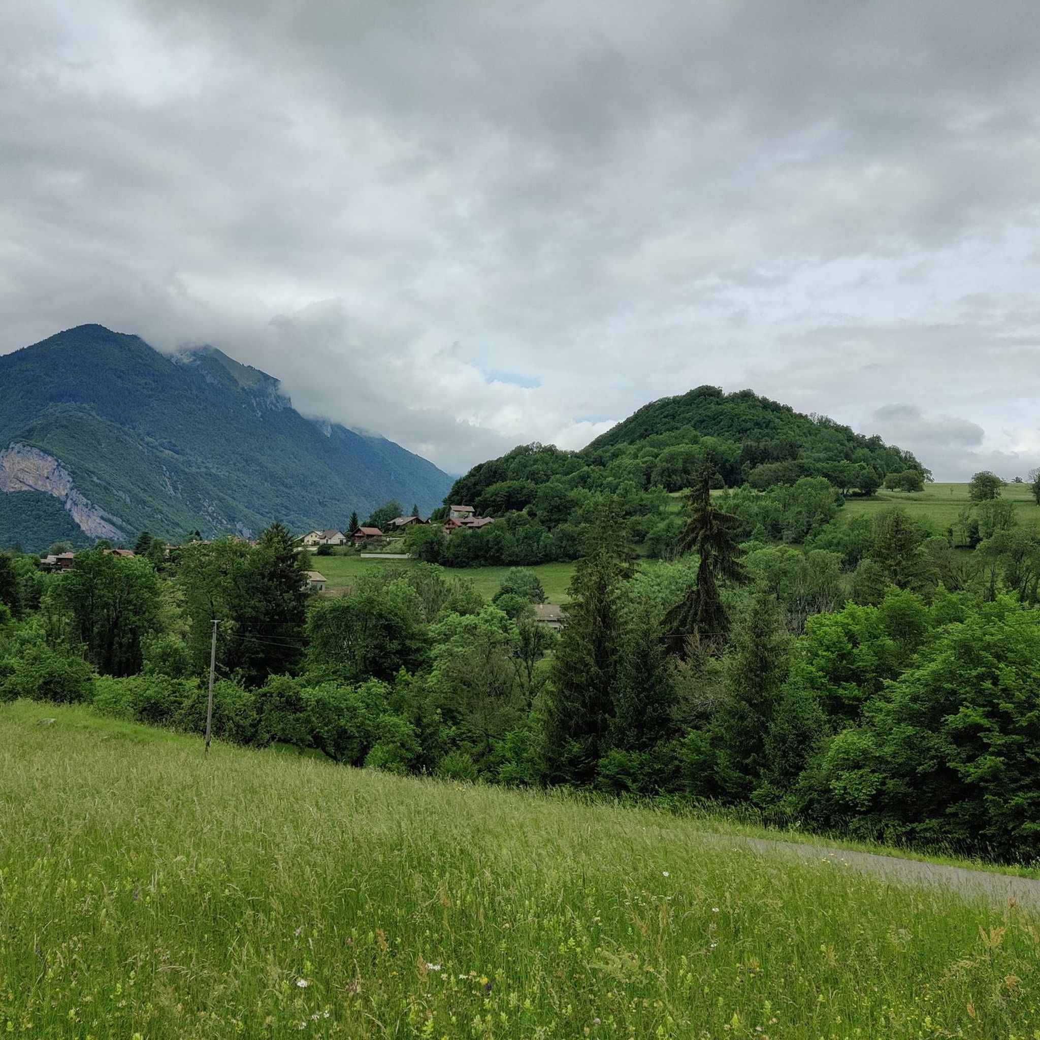
Running Trails around Plancherine
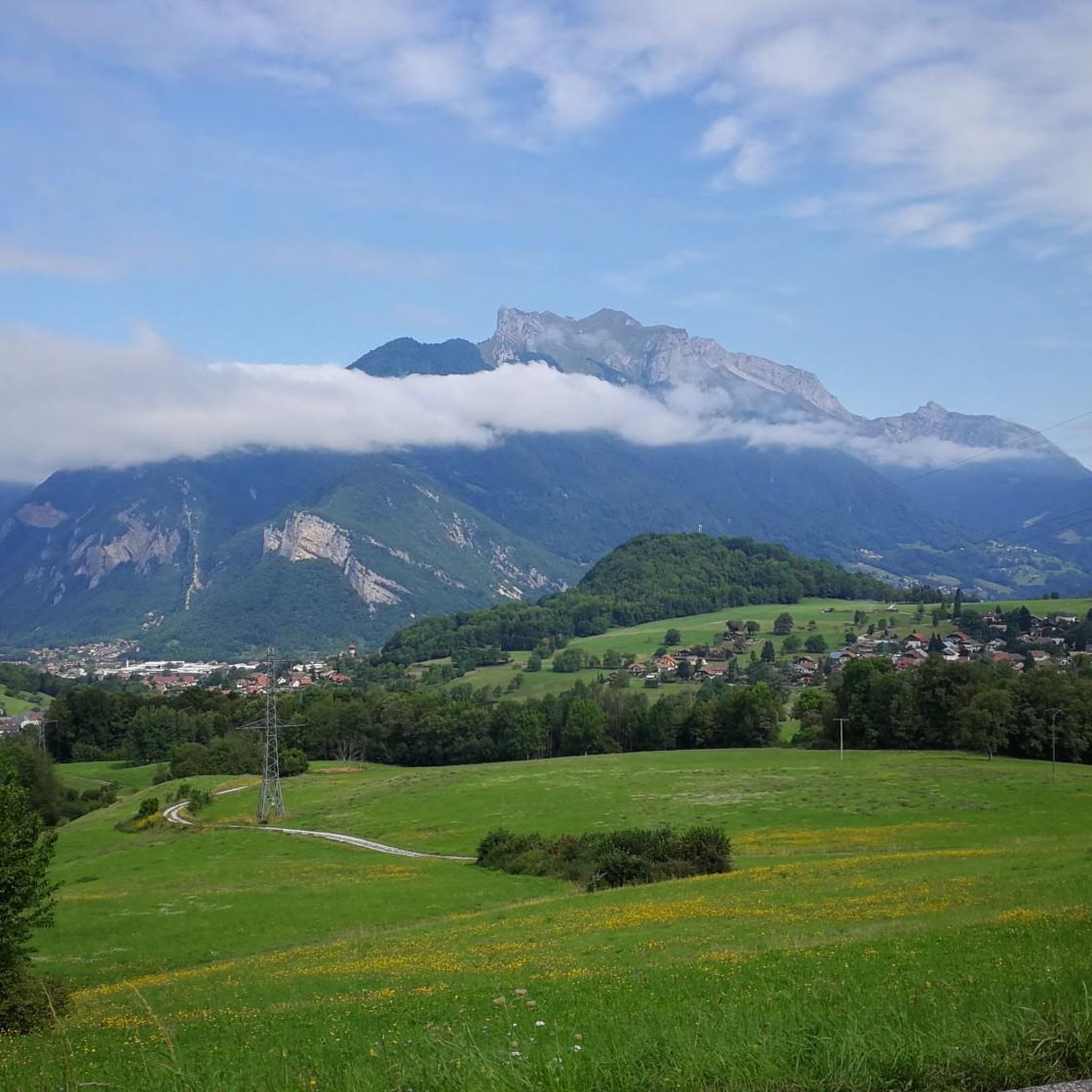
MTB Trails around Plancherine
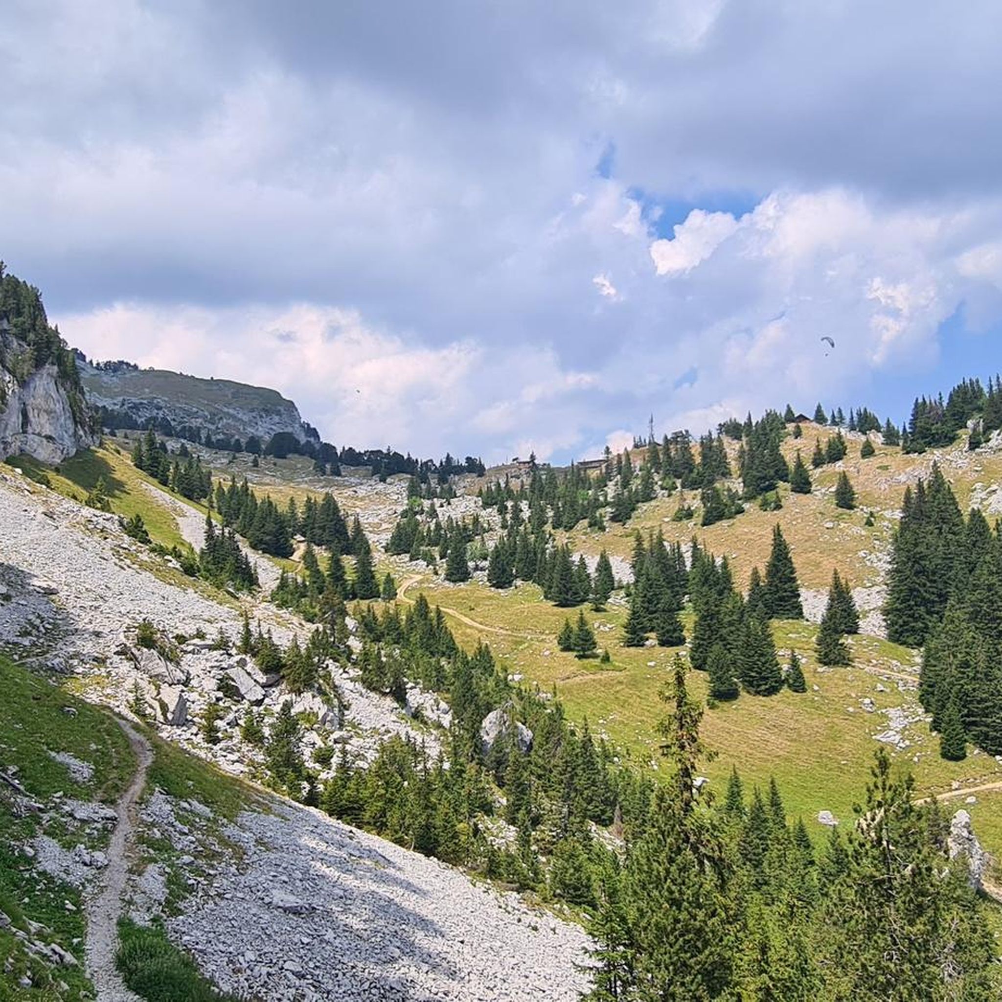
Cycling around Plancherine

Mountain Hikes around Plancherine


Tips from the Community

Occasionally dismount the Specialized Vado - nevertheless a fascinatingly beautiful route - the tour has many great sections overall, but also very bumpy on many parts. Fantastic but not cozy.😉
0
0

Steady and gradual climb to the Col de Chérel. Easy gravel ride
0
0
one of the gravel sections from Bauges to Annecy. Passes without any problem!
1
0

Very smooth, very good on mountain bikes and should do the job on gravel.
1
0


Beautiful bike path. Lots of bicycle traffic on nice days
0
0

Very steep, loose gravel, official XC E-MTB trail. If you like pushing your bike for a few hundred meters, this is a great trail!
0
0

Beautiful bike path, lots of bicycle traffic, families, groups, speeders...
0
0
Frequently Asked Questions
How many gravel bike trails are available around Plancherine?
There are 14 gravel bike routes around Plancherine, offering a variety of experiences. These include 1 easy route, 3 moderate routes, and 10 difficult routes, catering to different skill levels.
What kind of terrain can I expect on gravel bike trails near Plancherine?
Gravel biking around Plancherine offers diverse terrain, characterized by impressive limestone reliefs, dense forests, and expansive alpine meadows. You can expect a mix of challenging climbs and rewarding descents on varied surfaces, typical of the Massif des Bauges Regional Natural Park and the area around Lac d'Annecy.
Are there any easy or family-friendly gravel bike routes in Plancherine?
Yes, there is one easy gravel bike route. The Cycle Path to Lake Annecy loop from Faverges-Seythenex is a 10.0-mile (16.1 km) trail with minimal elevation gain, making it suitable for a more relaxed ride or families. It leads through scenic areas near Lake Annecy.
What are some challenging gravel bike routes for experienced riders?
For experienced riders seeking a challenge, the region offers several difficult routes. The Gravel loop from Faverges is a 32.6-mile (52.5 km) trail with significant elevation gain. Another demanding option is the Leschaux Pass – Cycle tunnel loop from Giez, a 30.4-mile (48.9 km) path featuring substantial climbs and descents through varied landscapes.
Can I find circular gravel bike routes near Plancherine?
Yes, many of the gravel bike routes around Plancherine are designed as loops, allowing you to start and finish at the same point. Examples include the Gravel loop from Faverges and the Leschaux Pass – Cycle tunnel loop from Giez, both offering comprehensive circular experiences.
What are the best times of year for gravel biking in Plancherine?
The best seasons for gravel biking in Plancherine are typically spring, summer, and autumn. During these months, the weather is generally favorable, and the trails are more accessible. Winter conditions can bring snow and ice, making many routes challenging or impassable, especially in higher alpine areas.
Are there any notable landmarks or viewpoints along the gravel bike trails?
Yes, the region offers stunning alpine scenery and viewpoints. While specific routes may vary, you can expect views of prominent peaks like La Belle-Étoile and Mont Trélod. The broader Savoie region is known for its legendary cols and scenic vistas, including distant views of Mont Blanc on clear days. The View of Château de Miolans – Bike path loop from Frontenex specifically offers a view of the historic Château de Miolans.
Where can I park my car when going gravel biking in Plancherine?
While specific parking locations for Plancherine are not detailed, many routes in the wider region start from towns like Faverges, Giez, Frontenex, or Albertville. These towns typically offer public parking facilities. It's advisable to check local parking options at your chosen starting point before your ride.
Is public transport an option to reach the gravel bike trails?
Public transport options to reach specific trailheads directly from Plancherine might be limited. However, major towns in the vicinity like Annecy or Albertville are well-connected by regional transport, and some routes may be accessible from these hubs. Always check local bus or train schedules and bike carriage policies in advance.
Are there cafes or accommodation options near the gravel bike trails?
Plancherine is situated in a region with various towns and villages, including Faverges, Giez, and Albertville, which serve as common starting points for rides. These areas offer a range of cafes, restaurants, and accommodation options such as hotels, gîtes, and chambres d'hôtes, perfect for refueling or staying overnight.
What do other gravel bikers say about the trails around Plancherine?
The gravel biking routes around Plancherine are highly rated by the komoot community, with an average score of 4.2 stars from over 10 reviews. More than 100 gravel bikers have used komoot to explore the varied terrain, often praising the diverse landscapes, from challenging mountain passes to tranquil forest paths and alpine meadows.
Are the gravel bike trails around Plancherine suitable for dogs?
While many outdoor areas in France are dog-friendly, it's essential to consider the specific trail regulations and local wildlife. On gravel paths, dogs are generally welcome, but they should be kept on a leash, especially in nature reserves like the Massif des Bauges Regional Natural Park, to protect wildlife and ensure safety. Always carry water for your dog.
What is the typical distance and elevation gain for gravel routes in the area?
The gravel routes around Plancherine vary significantly in distance and elevation. For example, the Cycle Path to Lake Annecy loop from Faverges-Seythenex is 10.0 miles (16.1 km) with about 129 meters of elevation gain, while the Gravel loop from Faverges covers 32.6 miles (52.5 km) with over 1145 meters of ascent, indicating a wide range of challenges.
Most popular routes around Plancherine
Most popular attractions around Plancherine

Get inspired with the komoot mobile app


Explore more
Browse the best Gravel rides in other regions.
