The best mountain hikes around La Biolle
4.8
(6)
29
hikers
4
hikes
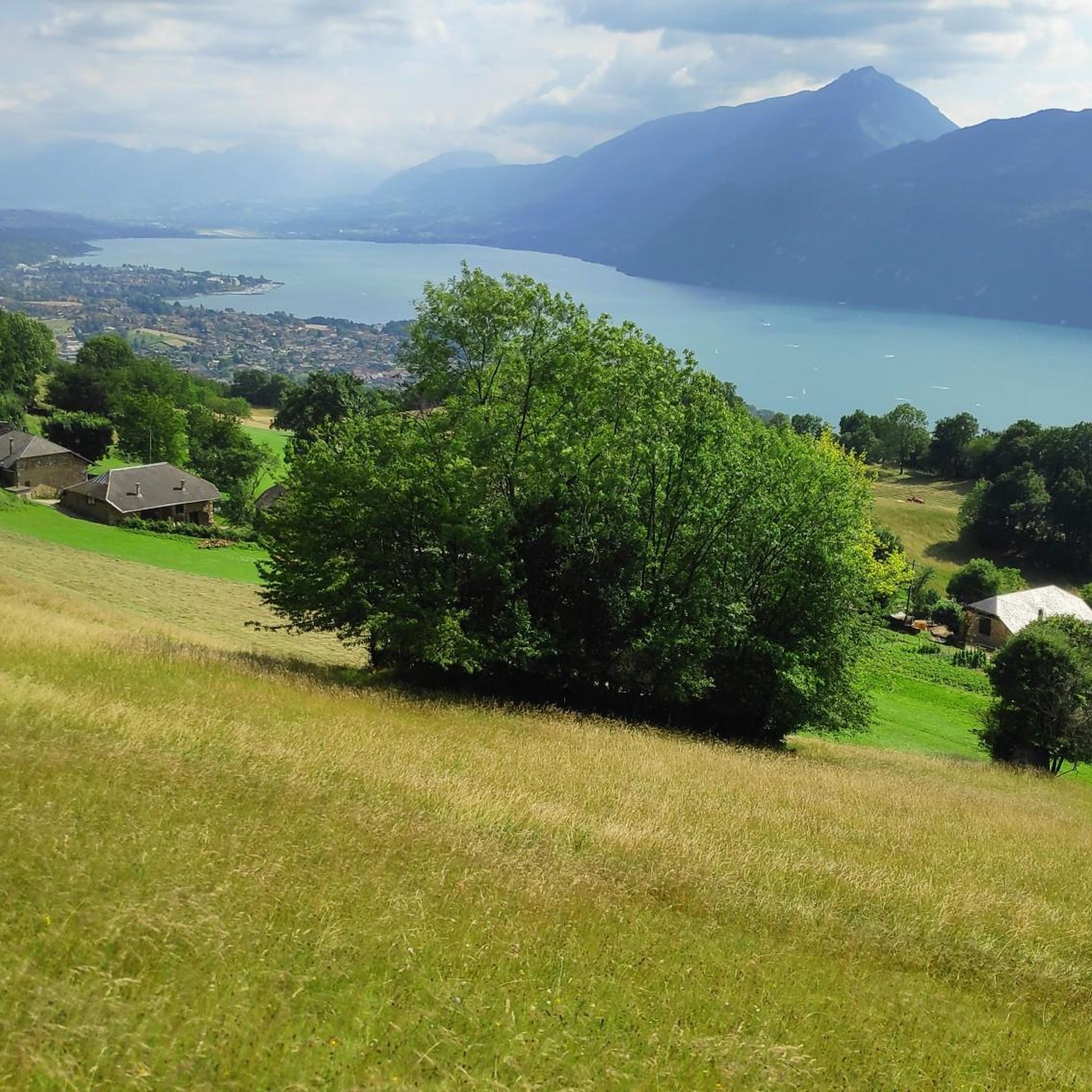
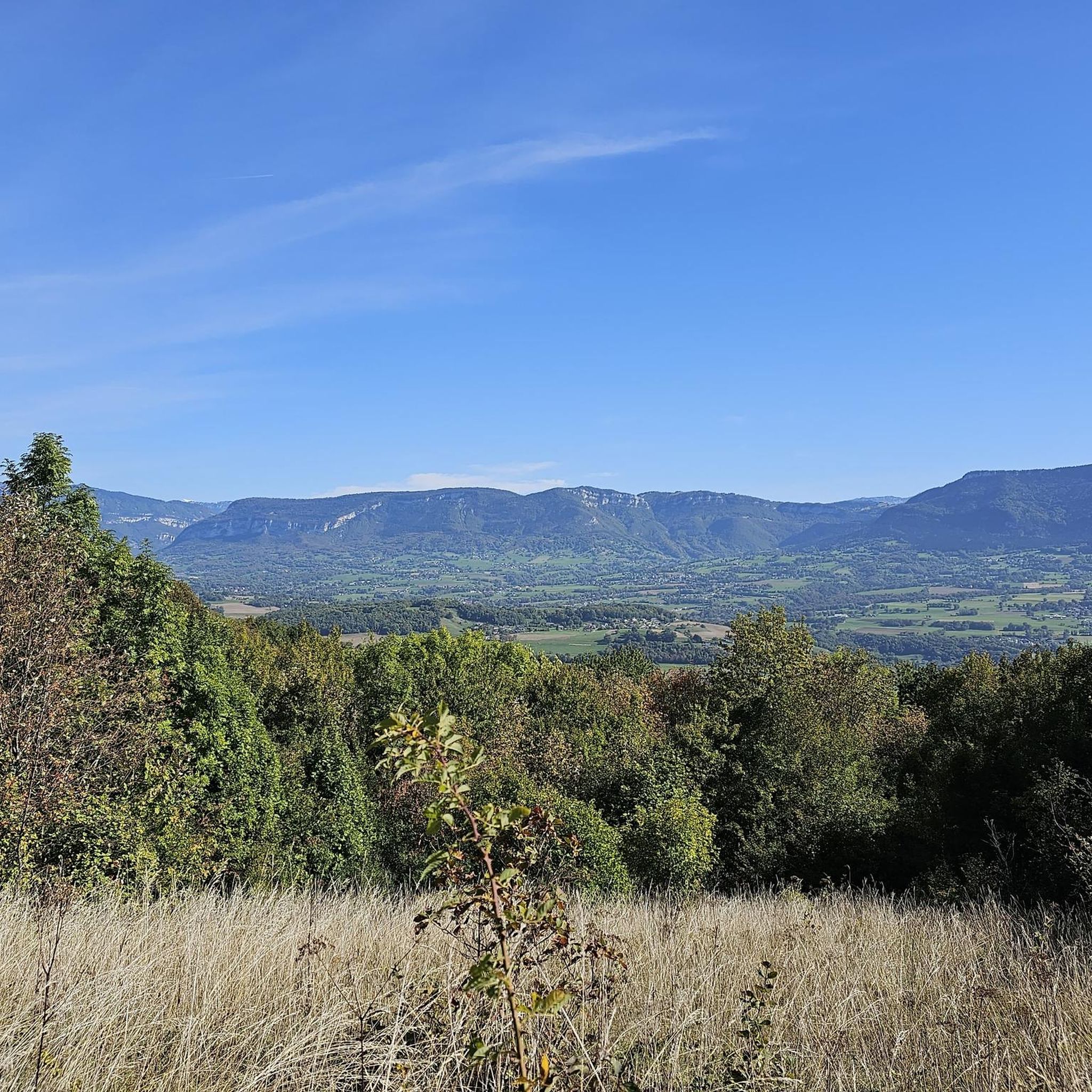
Mountaineering routes around La Biolle are situated in the Savoie department of the Auvergne-Rhône-Alpes region, offering a diverse landscape of hills, depressions, and mountains. The area serves as a gateway to more extensive mountaineering opportunities within the wider French Alps. Its western boundary is marked by the Mountain of La Biolle, providing a mountainous backdrop and proximity to Lake Bourget, with many routes offering panoramic views of the lake and its surroundings.
Best mountaineering routes around La Biolle
- The most…
Last updated: July 1, 2026
4.5
(4)
23
hikers
7.43km
04:00
660m
660m
Hard mountaineering route. Good fitness required. Sure-footedness, sturdy shoes and alpine experience required.
5.0
(1)
2
hikers
Moderate mountaineering route. Good fitness required. Mostly accessible paths. Sure-footedness required.

Sign up for free
2
hikers
14.8km
06:13
1,010m
1,010m
Hard mountaineering route. Very good fitness required. Sure-footedness, sturdy shoes and alpine experience required.
5.0
(1)
2
hikers
8.97km
03:23
450m
450m
Moderate mountaineering route. Good fitness required. Mostly accessible paths. Sure-footedness required.
Our route recommendations are based on thousands of hikes, rides, and runs completed by other people on komoot.
Start today with a free account
Your next adventure awaits.
Login or Signup

Other adventures around La Biolle

Tips from the Community

Hard and hot... But a beautiful panorama at the summit
0
0

Beautiful view of the lake.
0
0

It's a must-see place with a magnificent view of Lake Bourget.
1
0

Aerial passage via ladders with gas, not recommended for beginners. Avoid summer weekends, as crowded conditions can cause traffic jams.
0
0

magnificent viewpoint over Lake Bourget to the Aravis and you can see Annecy on the lower Semnoz
0
0

Great, remember to take something to cover yourself with depending on the time of year…. Climbed in April, there was still snow at altitude. The descent was cool
1
0

Please note: Col de Plainpalais and the descent to Le Noyer are not possible between May 14 and 17. The road is currently being completely resurfaced. The road surface will be even better.
1
0
Frequently Asked Questions
What kind of terrain can I expect on mountaineering routes around La Biolle?
The region around La Biolle features a diverse landscape of hills, depressions, and mountains, with its highest point reaching 874 meters. You'll encounter hilly terrain and mountain passes, often providing spectacular views of Lake Bourget. While La Biolle itself offers routes more akin to challenging hikes, it serves as an excellent base for accessing more extensive mountaineering opportunities in the wider French Alps.
Are there any circular mountaineering routes available in the area?
Yes, several routes around La Biolle are designed as loops. For example, you could explore the challenging Col du Chat (Chat Pass) – Cat's Tooth loop from Bourdeau, which offers views of Lake Bourget. Another option is the moderate 🪑 Bench with magnificent view – Ascent of Mont Revard loop from Mont Revard, providing expansive views from Mont Revard.
What are the difficulty levels of mountaineering routes near La Biolle?
The routes directly around La Biolle cater to moderate and difficult skill levels. You'll find options like the moderate Lamartine Cave – View of Lake Bourget loop from Bourdeau, which covers about 9 km with 445 meters of elevation gain. For a more challenging experience, consider the Col du Chat (638 m) – Roc du Cornillon viewpoint loop from Bourdeau, a 14.8 km route with over 1000 meters of ascent.
What do other mountaineers say about the routes in La Biolle?
The mountaineering routes around La Biolle are highly regarded by the komoot community, holding an impressive average rating of 4.75 stars from over 5 reviews. Many visitors appreciate the diverse terrain and the stunning panoramic views, especially those overlooking Lake Bourget and the surrounding mountains.
Are there any notable viewpoints or natural attractions along the routes?
Absolutely. Many routes offer magnificent panoramas of Lake Bourget. The Col du Chat (638 m) is renowned for its views during the ascent. For a truly expansive vista, the Chambotte Pass leads to a belvedere offering a superb 360° panorama encompassing Lake Bourget, the Grand Colombier, and the Aravis range. You might also encounter natural monuments like the Fairies' Cave or the Rochetaillée Passage.
What is the best time of year for mountaineering in La Biolle?
La Biolle is ideal for outdoor activities, including mountaineering, from spring through autumn when the weather is generally mild and the trails are clear. While the region offers a gateway to the French Alps, which have winter mountaineering opportunities, the routes directly around La Biolle are best enjoyed outside of heavy snow conditions.
Are there any options for less experienced mountaineers or those looking for a moderate challenge?
Yes, there are moderate routes suitable for those building their mountaineering experience. The 🪑 Bench with magnificent view – Ascent of Mont Revard loop from Mont Revard is a good example, offering a rewarding experience with significant views without the extreme demands of the most difficult trails. Another moderate option is the Lamartine Cave – View of Lake Bourget loop from Bourdeau.
How many mountaineering routes are available in the La Biolle area?
There are at least four distinct mountaineering routes detailed for the La Biolle area, offering a mix of moderate and difficult challenges. These routes provide a great starting point for exploring the region's diverse landscapes and views.
Can I find parking easily at the trailheads?
While specific parking details for each trailhead are best checked on the individual route pages, routes often start from accessible points like Bourdeau or Mont Revard, where parking facilities are typically available for visitors accessing the natural attractions and trails.
Are there any other points of interest nearby that I can combine with a mountaineering trip?
Beyond the trails, you can explore other natural monuments such as the Butte Saint-Romain and Chapel or enjoy the panoramic views from Pierre Nioule – View of Lake Bourget and Aix-les-Bains. The tranquil Canal de Savière, connecting Lake Bourget to the Rhône, is also a pleasant spot for a walk or boat trip.
What are the typical elevations and distances for these routes?
The routes vary in length and elevation. For instance, a moderate route like the 🪑 Bench with magnificent view – Ascent of Mont Revard loop from Mont Revard covers about 9.2 km with around 370 meters of elevation gain. More difficult routes, such as the Col du Chat (638 m) – Roc du Cornillon viewpoint loop from Bourdeau, can extend to nearly 15 km with over 1000 meters of ascent, providing a significant challenge.
Most popular routes around La Biolle
Most popular attractions around La Biolle

Get inspired with the komoot mobile app


Explore more
Browse the best Mountain Hikes & Routes in other regions.
