The best mountain hikes around Chêne-Bourg
5.0
(7)
69
hikers
8
hikes
Mountaineering routes around Chêne-Bourg are situated in a region characterized by varied terrain, including prominent cliffs, forested slopes, and elevated passes. The landscape features notable geological formations such as the "trou de la roche" and the "La Coraterie Cliff," offering challenging ascents and descents. The area provides opportunities for exploring mountain chalets and natural caves, with routes often traversing through dense woodlands and open mountain sections. Elevation gains are significant, making it suitable for experienced mountaineers.
Best mountaineering routes around…
Last updated: May 26, 2026
5.0
(1)
19
hikers
11.9km
05:04
820m
820m
Hard mountaineering route. Very good fitness required. Mostly accessible paths. Sure-footedness required.
5.0
(4)
15
hikers
9.60km
04:31
750m
750m
Hard mountaineering route. Good fitness required. Sure-footedness, sturdy shoes and alpine experience required.

Sign up for free
5.0
(1)
12
hikers
Hard mountaineering route. Good fitness required. Sure-footedness, sturdy shoes and alpine experience required.
6
hikers
7.02km
03:16
590m
590m
Moderate mountaineering route. Good fitness required. Mostly accessible paths. Sure-footedness required.
5.0
(1)
6
hikers
Moderate mountaineering route. Good fitness required. Mostly accessible paths. Sure-footedness required.
Get access to more routes and recommendations from other explorers.
Sign up for free
Already have an account?
Our route recommendations are based on thousands of hikes, rides, and runs completed by other people on komoot.
Start today with a free account
Your next adventure awaits.
Login or Signup
Tips from the Community

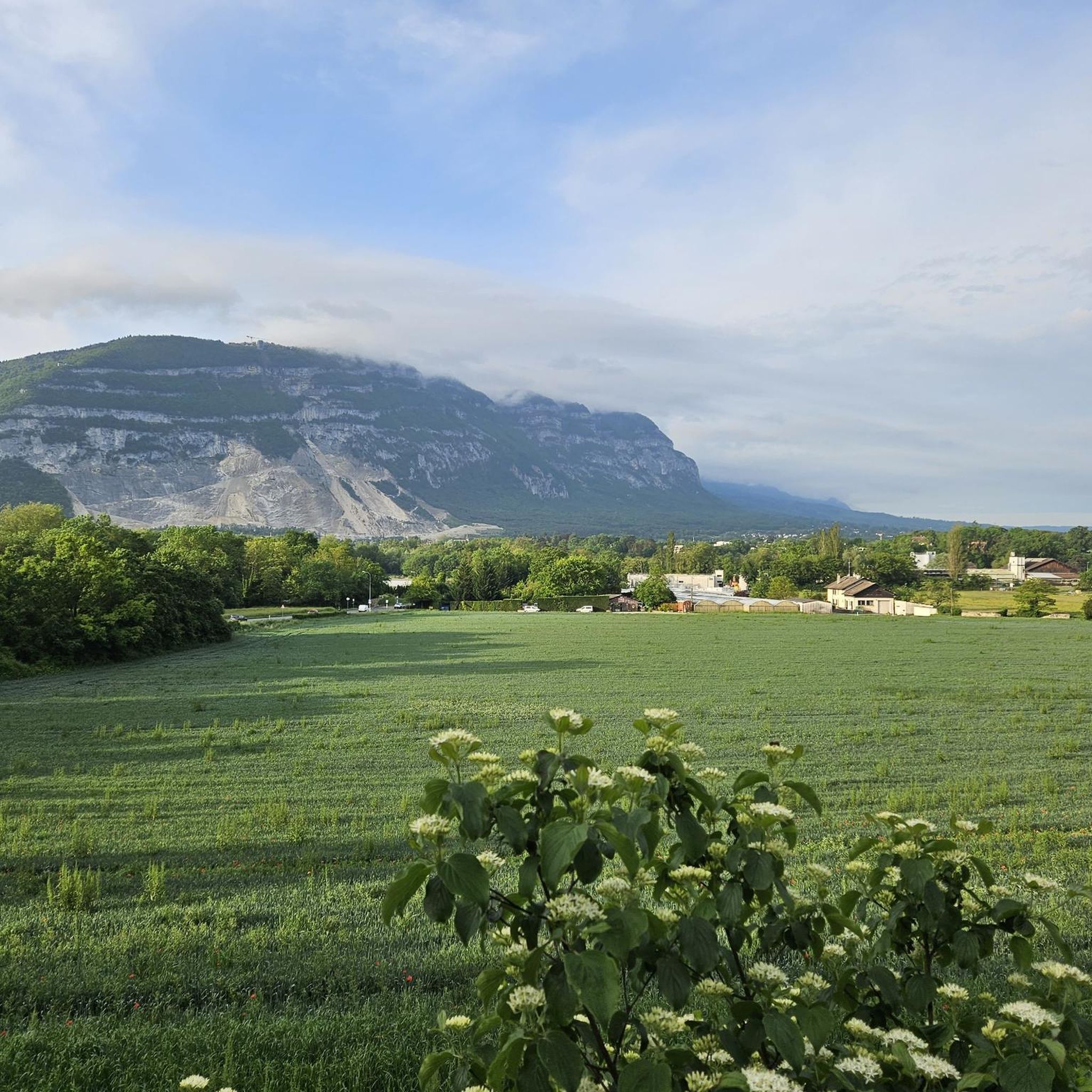
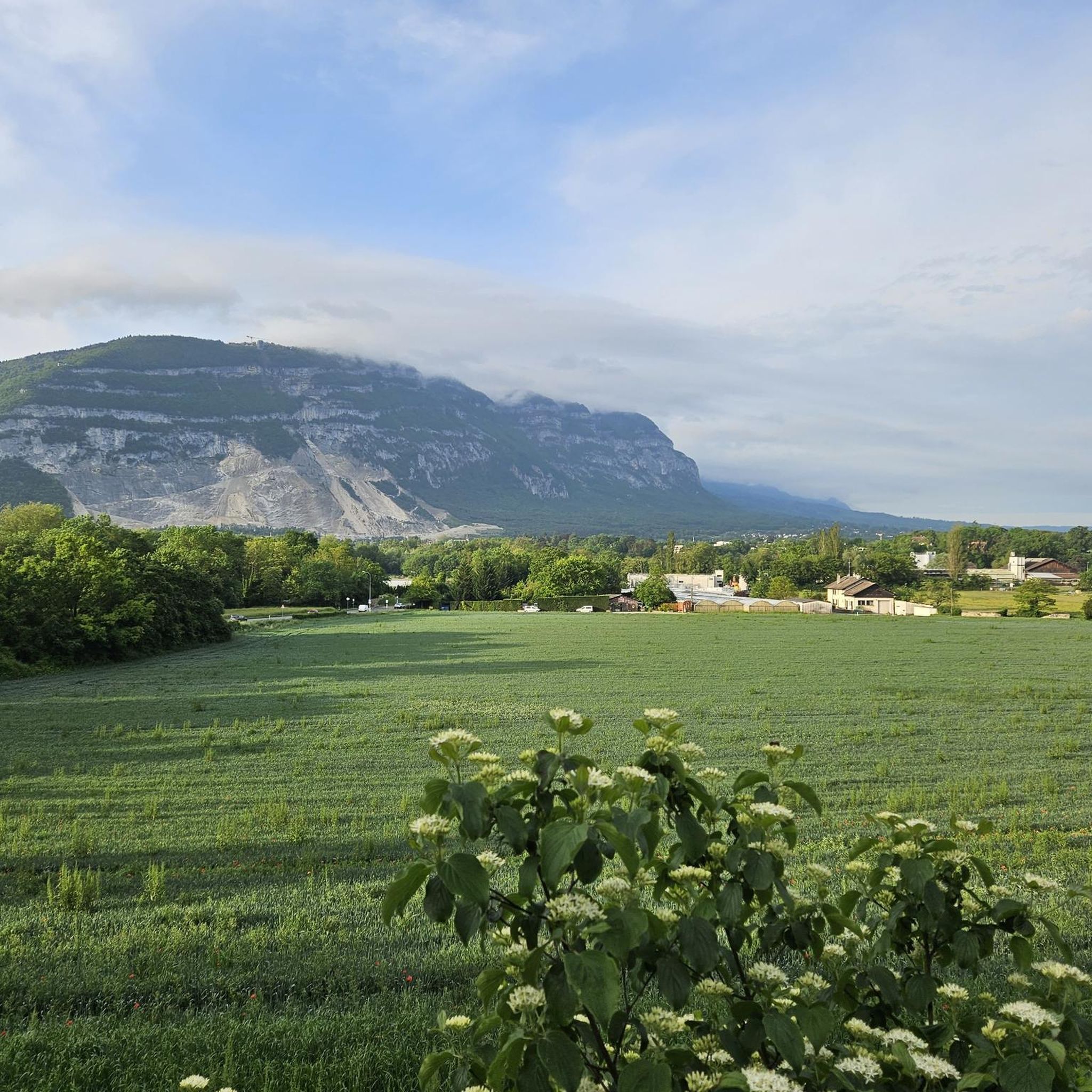
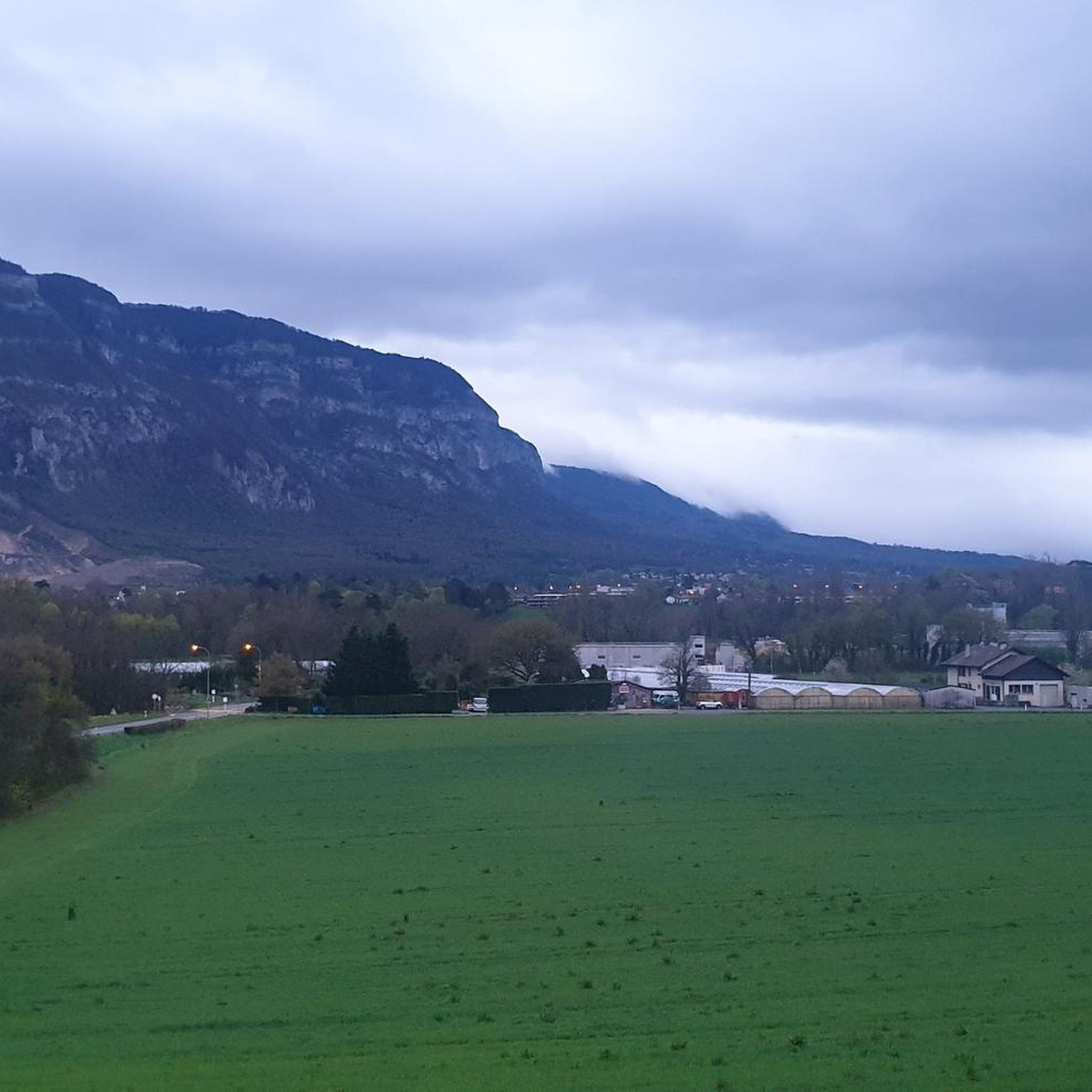
La Corraterie is a narrow rocky ledge and cliff path on the west flank of Mont Salève (the so-called “Balcony of Geneva”) in Haute-Savoie (France). From here, you have breathtaking panoramic views of Lake Geneva, the city of Geneva, and the Jura Mountains. Highlights along the path besides the view ;-): ⭐ The passage cave Grotte d'Orjobet. ⭐ Trou de la Tine: An impressive natural rock arch and sinkhole formed by erosion in the cliffs of La Corraterie. ⭐ Numerous climbers can be observed on the vertical limestone walls. And here is the story behind the flag on the mountain path: It is not the Swiss flag, but the coat of arms of Savoy (meaning no white cross, but the bars extend to the edge). It all began in the late 1960s. American students from the nearby Adventist campus in Collonges-sous-Salève climbed the steep rock face after a night of revelry. Since the mountain offers a direct view of Geneva, they were firmly convinced they were in Switzerland. They painted a huge Swiss flag on the rocks. However, Mont Salève is geographically located in France (Haute-Savoie region). The local French residents found the Swiss flag on their mountain to be an affront. Local activists climbed up and painted over the Swiss cross, turning it into the coat of arms of Savoy (Cross of Savoy) to emphasize the French-Savoyard affiliation. To this day, unknown individuals (mostly from Geneva) regularly climb the wall at night to shorten the bars and turn the Savoy coat of arms back into a Swiss flag.
0
0

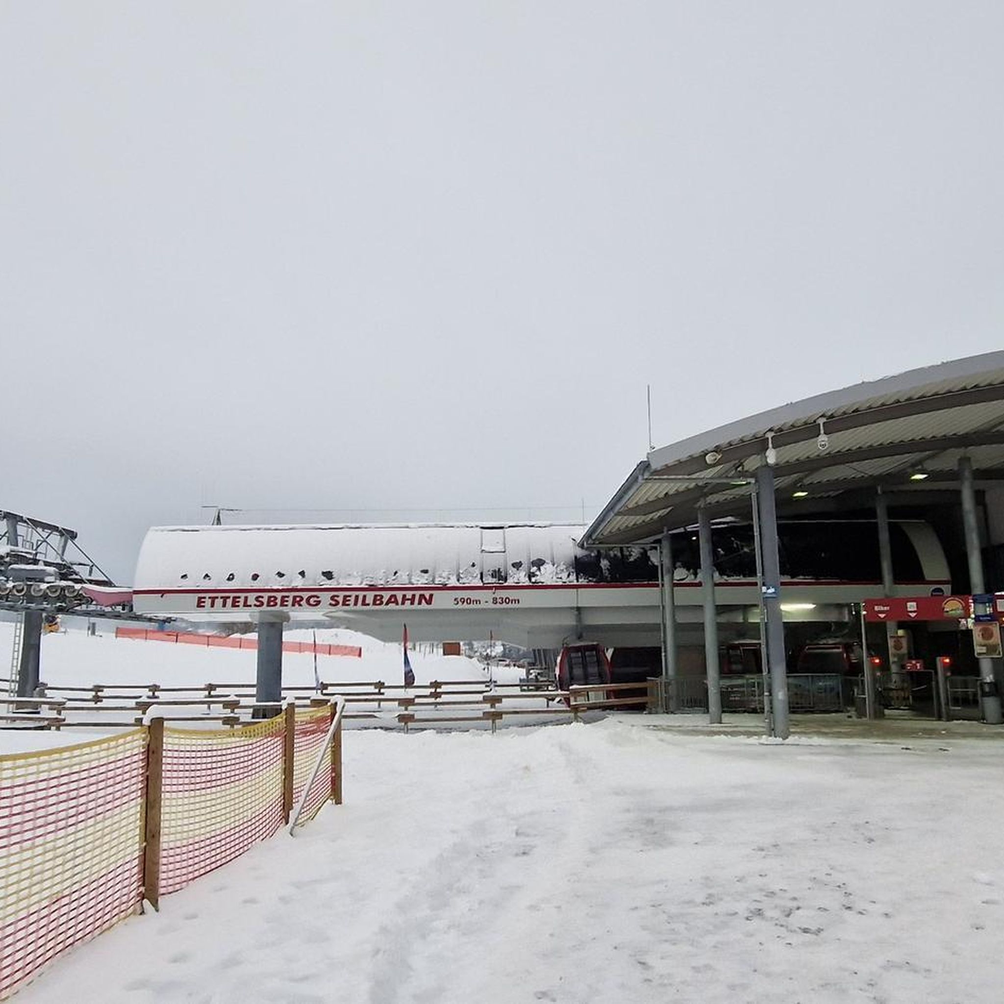
Only open to go in a few days if the week - I think Wed, Sat and Sun. View is still good from outside!
0
0


A beautiful view of Geneva, or rather, its clouds.
0
0
Le Trou de la Tine (Trou of the Tine Cave) was formed by erosion on the flank of Mont Salève. It is a deep, sunken hole shaped like an open-topped barrel ("Tine" is an old dialect term for barrel, "trou" means hole). The cave's ceiling has collapsed due to erosion, revealing a natural "barrel" with a side opening. One can walk into the "barrel" through this side opening.
0
0

Cycling down from Salève, this breathtaking view of the Geneva region and the lake is the final reward of this demanding climb. You can dream for a long time in front of this landscape, or have a drink, stretch out on the lawn, and watch the paragliders fly just above. SUMMER SEASON | FROM APRIL 1, 2025 TO NOVEMBER 2, 2025 Open daily. Last ascent at 6:30 p.m. | Last descent at 6:45 p.m. Late openings on Thursdays, Fridays, and Saturdays: Last ascent at 10:30 p.m. | Last descent at 10:45 p.m. The 360° terrace closes at 6:30 p.m. Prices: €18 (adult) / €13 (reduced) / €6.50 (children)
0
0


Frequently Asked Questions
What is the general difficulty level of mountaineering routes around Chêne-Bourg?
Mountaineering routes in Chêne-Bourg are primarily suited for experienced individuals. The area features significant elevation gains, challenging cliff paths, and dense forest sections. While there are no easy routes, you'll find 3 moderate and 5 difficult options available.
Are there any moderate mountaineering routes for those looking for a slightly less strenuous challenge?
Yes, there are a few moderate options. For instance, the Orjobet Cave – Croisette Pass loop from Collonges-sous-Salève is a moderate 7.1 km trail that takes you through varied terrain, including a cave and a mountain pass. Another moderate option is the shorter Crossing the trou de la roche loop from Collonges-sous-Salève, which covers 3.3 km.
Which routes offer the most challenging mountaineering experiences in Chêne-Bourg?
For a significant challenge, consider the Chalet de Pré-Berger loop from Veyrier, a difficult 12 km route with over 820 meters of elevation gain. Another demanding option is Crossing the trou de la roche – La Coraterie Cliff loop from Collonges-sous-Salève, which features impressive rock formations and challenging cliff sections over 9.6 km.
What kind of terrain can I expect on the mountaineering routes in this region?
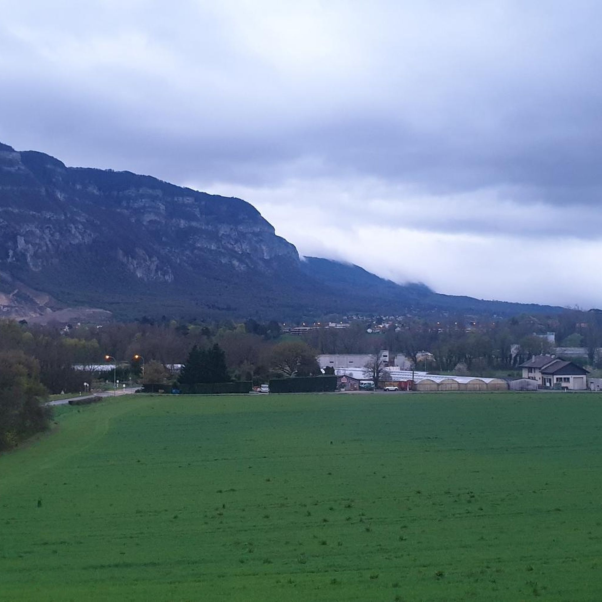
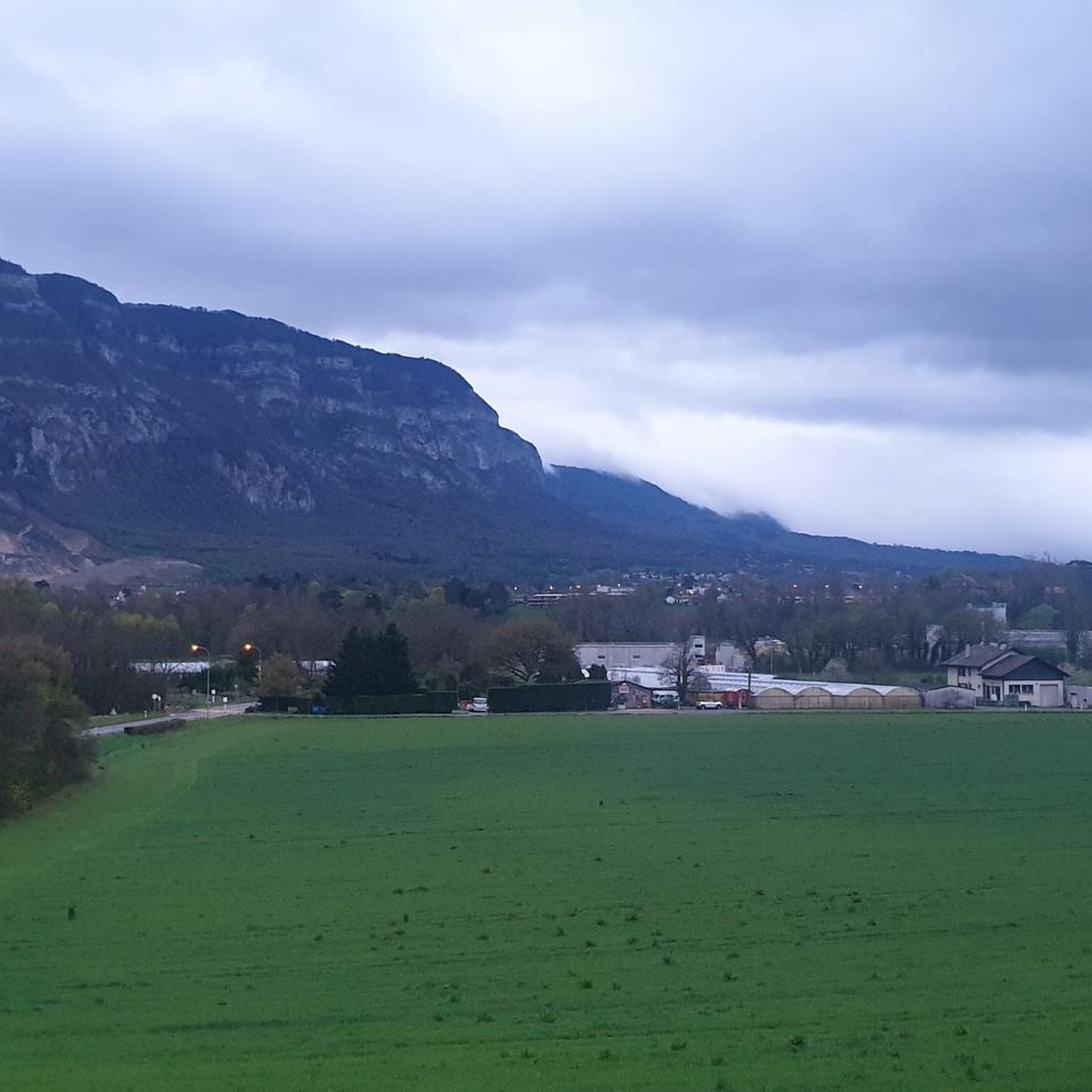
The terrain around Chêne-Bourg is diverse and demanding. You'll encounter prominent cliffs, forested slopes, and elevated passes. Routes often traverse through dense woodlands and open mountain sections, with notable geological formations like the "trou de la roche" and the "La Coraterie Cliff" adding to the rugged landscape.
Are there any circular mountaineering routes available?
Many of the mountaineering routes in Chêne-Bourg are designed as loops, allowing you to start and finish at the same point. Examples include the Chalet de Pré-Berger loop from Veyrier and the Crossing the trou de la roche loop from Collonges-sous-Salève.
What are some notable natural features or landmarks I might encounter on these routes?
The region is known for its unique geological formations. You can explore the "trou de la roche" and the impressive "La Coraterie Cliff." The Orjobet Cave – Croisette Pass loop from Collonges-sous-Salève specifically leads through the Orjobet Cave. You might also come across mountain chalets along some paths.
What do other mountaineers say about the routes in Chêne-Bourg?
The mountaineering routes in Chêne-Bourg are highly regarded by the komoot community, holding an average score of 5.0 stars from over 7 reviews. More than 70 mountaineers have used komoot to explore the varied and challenging terrain, often praising the unique rock formations and the sense of adventure.
Are there any attractions nearby that I can visit after a mountaineering trip?
Yes, Chêne-Bourg is close to several interesting attractions. You could visit the iconic Jet d'Eau Fountain or explore the Lake Geneva waterfront. Other natural highlights include the Étang du Bois des Mouilles and the Lac des Vernes.
What is the typical duration for completing a mountaineering route in Chêne-Bourg?
The duration varies significantly based on the route's length and difficulty. For example, the difficult Chalet de Pré-Berger loop from Veyrier typically takes around 5 hours and 5 minutes, while the moderate Orjobet Cave – Croisette Pass loop from Collonges-sous-Salève can be completed in about 3 hours and 16 minutes.
How many mountaineering routes are available in the Chêne-Bourg area?
There are 8 distinct mountaineering routes documented around Chêne-Bourg, offering a range of challenges from moderate to difficult.
What is the longest mountaineering route in Chêne-Bourg?
The longest mountaineering route listed is the Chalet de Pré-Berger loop from Veyrier, which spans approximately 12 kilometers (7.4 miles).
Most popular routes around Chêne-Bourg
Most popular attractions around Chêne-Bourg

Get inspired with the komoot mobile app


Explore more
Browse the best Mountain Hikes & Routes in other regions.
