The best MTB trails in Sunol Regional Wilderness
14
riders
4
rides
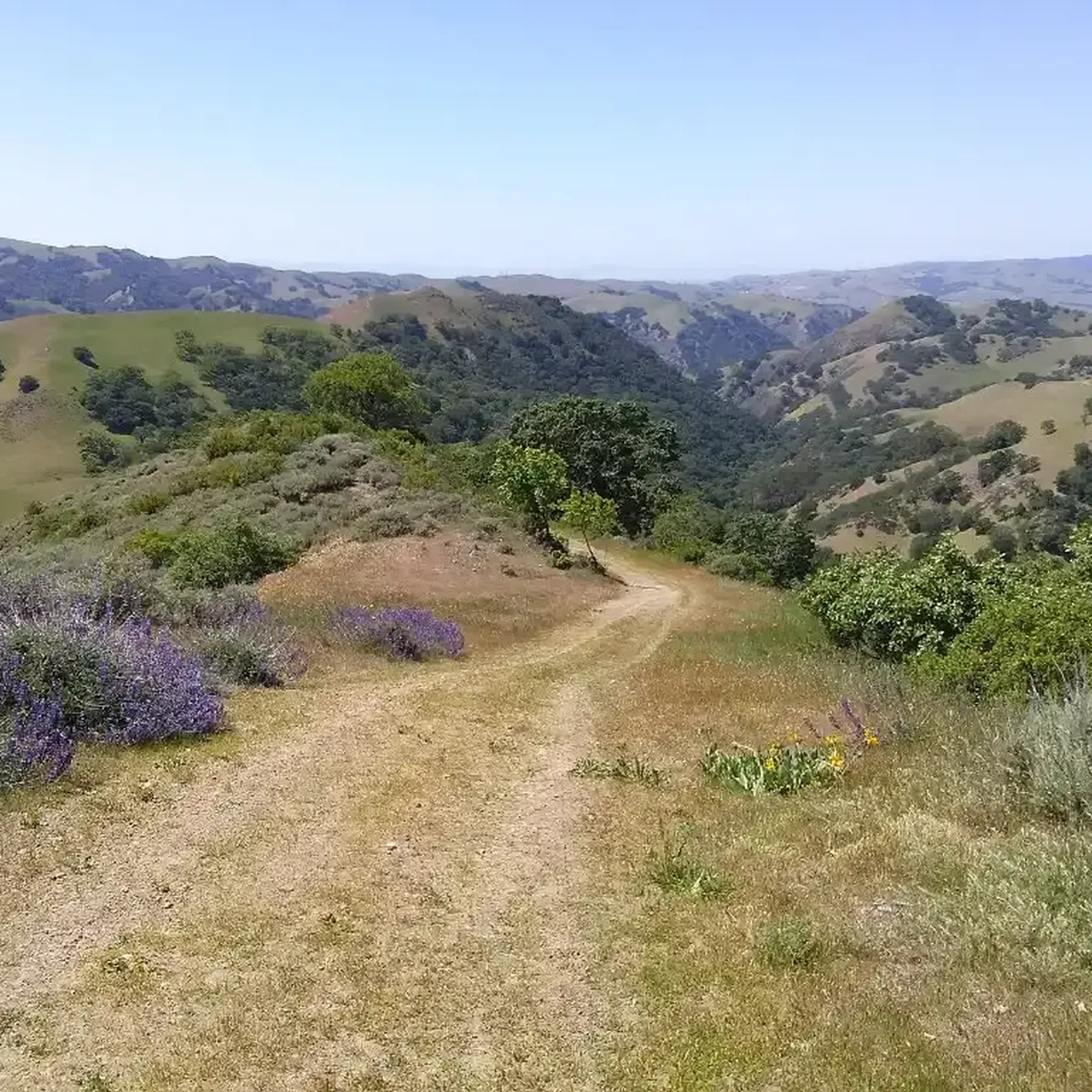
Mountain biking in Sunol Regional Wilderness is characterized by its extensive network of fire roads, offering significant elevation gains and physical challenges. The terrain primarily consists of dirt and gravel paths, winding through diverse landscapes of oak woodland, grassland, and chaparral. Riders can expect strenuous climbs, with some sections reaching steep grades, rewarding them with expansive views of the surrounding East Bay Area. Alameda Creek carves through the wilderness, providing riparian habitats alongside some routes.
Best mountain bike trails in…
Last updated: July 4, 2026
4
riders
12.6km
01:23
540m
540m
Moderate mountain bike ride. Good fitness required. Suitable for all skill levels.
3
riders
23.1km
02:31
810m
810m
Moderate mountain bike ride. Good fitness required. Suitable for all skill levels.

Sign up for free
4
riders
Moderate mountain bike ride. Good fitness required. Suitable for all skill levels.
1
riders
Hard mountain bike ride. Very good fitness required. Suitable for all skill levels.
2
riders
Moderate mountain bike ride. Good fitness required. Suitable for all skill levels.
Our route recommendations are based on thousands of hikes, rides, and runs completed by other people on komoot.
Start today with a free account
Your next adventure awaits.
Login or Signup
Tips from the Community

This section of Foothill Road follows closely along Arroyo de la Laguna. Seeing the river and unique farm animals on the side of the road is a treat!
0
0

The history of trains in Niles Canyon dates back to the building of the original transcontinental railroad. Today, you can still take train trips around the scenic and historic Niles Canyon Route on old-timey steam /diesel trains.
0
0

The Niles Canyon Railway Museum preserves the history of railroads in California. The museum is free, but only open on select Sundays, so check their schedule before going.
0
0
The Castlewood Country Club is a private 36-hole facility. The property dates back to the late 1800s and now offers tennis courts, Bocce courts, pool, fitness center, to go with the two golf courses.
0
0
This stretch of Foothill Road runs between the city and Pleasanton Ridge, giving you a great feeling of being on the edge of wilderness.
0
0

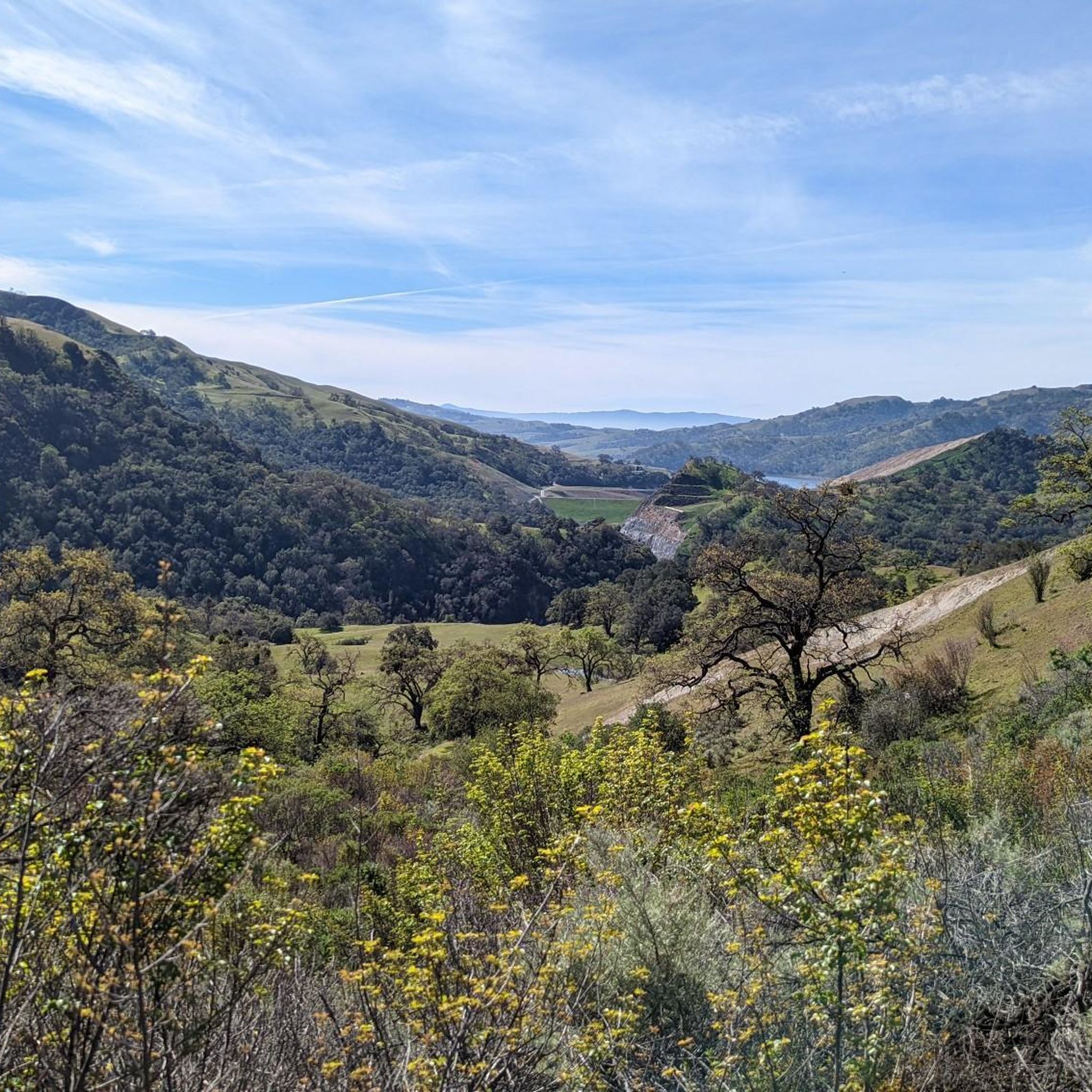
Calfateras road begins by a robust climb, and then it changes to a series of switchbacks with spectacular views to the reservoir and surrounding park. The switchbacks alternate between downhill and moderate climbs, before a long downhill and flat terrain.
0
0

Riding south on Felter road from Calaveras after doing Polamares and and Calaveras Roads was a real challenge, especially since it was my first time! Get something to fuel up on at the Sunol Little Store!
0
0
When in season you will see a lot of beautiful oleander lining the road along this stretch.
0
0
Frequently Asked Questions
What type of mountain biking trails can I expect in Sunol Regional Wilderness?
Mountain biking in Sunol Regional Wilderness is primarily on fire roads, not technical singletrack. These trails are known for their strenuous climbs, with some sections reaching grades over 18%, offering a significant physical challenge amidst scenic surroundings.
How many mountain bike trails are available in Sunol Regional Wilderness?
There are several mountain bike routes available in Sunol Regional Wilderness, with a total of 17 miles of trails open to bikes. Our guide features 5 routes, ranging from moderate to difficult, to help you explore the area.
Are there any challenging mountain bike routes for experienced riders?
Yes, Sunol Regional Wilderness offers routes with significant elevation gains that provide a challenging workout. For instance, the Monument Peak – Oleander Along Evans Road loop from Warm Springs/South Fremont is rated difficult, covering 37.7 km with over 930 meters of ascent.
What are the best times of year to go mountain biking in Sunol Regional Wilderness?
Spring and fall are generally the best times for mountain biking in Sunol Regional Wilderness. The park can be very hot in the summer with little shade, while spring brings abundant wildflowers and gushing rapids at Little Yosemite.
Are there any viewpoints or natural features to see along the mountain bike trails?
Yes, the wilderness is rich in natural beauty. You can find breathtaking views from trails like Vista Grande and the McGuire Peak Loop. Don't miss Little Yosemite with its granite boulders and rapids, especially in spring, or the panoramic vistas from Flag Hill and Cerro Este Peak.
Can I find any routes that are suitable for a longer day trip?
Absolutely. For a longer ride, consider the Pleasanton Ridge Regional Park – Foothill Road — Pleasanton loop from Great Mall/Main, which spans over 82 kilometers and includes more than 760 meters of climbing, offering an extensive exploration of the region.
Are there any loop trails for mountain biking in Sunol Regional Wilderness?
Yes, many of the routes in the area are loops, allowing you to start and end at the same point. Examples include the Ohlone College – Rest stop with restroom loop from Ohlone College and the Rest stop with restroom – Monument Peak loop from Ohlone College.
What kind of wildlife might I encounter while mountain biking?
Sunol Regional Wilderness is home to diverse wildlife. You might spot black-tailed deer, California ground squirrels, skunks, and coyotes. The park also has a large breeding population of golden eagles and occasionally mountain lions. Tule Elk have also been reintroduced to the area.
What are the typical elevation gains for mountain bike rides in this area?
Rides in Sunol Regional Wilderness often involve significant elevation gains. A typical 10-mile ride can include 2000-3000 feet (approximately 600-900 meters) of vertical climb, making it a great destination for those seeking a physical workout.
Are there any specific trails or roads known for their views?
Yes, trails like Vista Grande and the McGuire Peak Loop are renowned for their outstanding views. Flag Hill also offers breathtaking panoramas of the surrounding areas and the Sunol Wilderness valley.
What is the highest point in Sunol Regional Wilderness and can it be reached by bike?
Cerro Este Peak, at 2,200 feet, is the highest point in the park. While challenging, it can be reached via trails like Cerro Este Trail, offering panoramic views. The Monument Peak – Oleander Along Evans Road loop also takes you to Monument Peak with substantial climbs.
Most popular routes in Sunol Regional Wilderness
Most popular attractions in Sunol Regional Wilderness

Get inspired with the komoot mobile app


Explore more
Browse the best MTB trails in other regions.
