The best mountain hikes in Teninger Allmend
5.0
(3)
10
hikers
4
hikes
Mountaineering in Teninger Allmend offers challenging mountain hikes within a varied landscape, situated between the Black Forest and the Kaiserstuhl vineyards. The region is characterized by extensive forests, providing shaded trails and a serene environment for exploration. While not focused on technical climbing, some routes feature rugged terrain and significant elevation gain, appealing to experienced outdoor enthusiasts. From various vantage points, mountaineers can enjoy views of the Kandel mountain and the Rhine plain.
Best mountaineering routes in Teninger Allmend
- The…
Last updated: July 10, 2026
7
hikers
18.7km
06:52
970m
970m
Hard mountaineering route. Very good fitness required. Mostly accessible paths. Sure-footedness required.
5.0
(1)
1
hikers
Hard mountaineering route. Very good fitness required. Sure-footedness, sturdy shoes and alpine experience required.

Sign up for free
5.0
(1)
1
hikers
17.9km
05:23
560m
560m
Hard mountaineering route. Very good fitness required. Mostly accessible paths. Sure-footedness required.
5.0
(1)
1
hikers
8.01km
02:30
310m
310m
Moderate mountaineering route. Good fitness required. Easily-accessible paths. Suitable for all skill levels.
Our route recommendations are based on thousands of hikes, rides, and runs completed by other people on komoot.
Start today with a free account
Your next adventure awaits.
Login or Signup
Tips from the Community

Very interesting castle ruins with a great view.
0
0

A very beautiful path through the forest up the Totenkopf to the Neulindenturm. The steep and somewhat rocky climb is much more enjoyable than the wide path from the south, which I then continued on.
1
0

just stop and enjoy
1
0

Beautiful view, a life-affirming totem, a lounger, a bench, a table and a great view of the Kaiserstuhl and towards Freiburg.
1
0

The Child Protection Association recalls the 1989 Convention on the Rights of the Child
1
2
Beautiful views over the slopes of the Kaiserstuhl. The sign explains what you can see
3
0

A good idea 👍 of the Child Protection Association so that it might also be considered whether the little ones always get their rights
2
1

Every difficult climb is rewarded with a view.
0
0
Frequently Asked Questions
How many mountaineering routes are available in Teninger Allmend?
Teninger Allmend offers a selection of 4 distinct mountaineering routes. These include 3 challenging routes for experienced hikers and 1 moderate option, providing varied experiences within the region's diverse landscape.
What kind of terrain can I expect on mountaineering routes in Teninger Allmend?
The mountaineering routes in Teninger Allmend feature a varied landscape, situated between the Black Forest and the Kaiserstuhl vineyards. You can expect extensive forests, providing shaded trails, and rugged terrain with significant elevation gain, particularly on the more difficult routes. From various vantage points, you'll enjoy views of the Kandel mountain and the Rhine plain.
Are there any easier mountaineering routes for beginners in Teninger Allmend?
While many routes in Teninger Allmend are classified as difficult, there is one moderate mountaineering route available: Vogelsang Pass Viewpoint – Neunlinden Tower loop from Kaiserstuhl. This route offers a less strenuous option while still allowing you to experience the region's beautiful scenery.
What are some challenging mountaineering routes for experienced hikers in Teninger Allmend?
Experienced mountaineers will find several challenging routes in Teninger Allmend. Consider the View from the Kandel – Kandel Summit Viewpoint loop from Waldkirch, which is 11.9 miles long with significant elevation gain. Another demanding option is the Waldkirch Industrial Canal – Langeck Hut loop from Waldkirch (Breisgau), known for its substantial elevation through forested areas.
Are there any circular mountaineering routes in Teninger Allmend?
Yes, all the mountaineering routes listed for Teninger Allmend are circular. For example, you can explore the Neunlinden Tower – Totenkopf Observation Tower loop from Ohrberg, which takes you through diverse forest landscapes, or the View from the Kandel – Kandel Summit Viewpoint loop from Waldkirch for expansive views.
What natural features or landmarks can I see along the mountaineering routes?
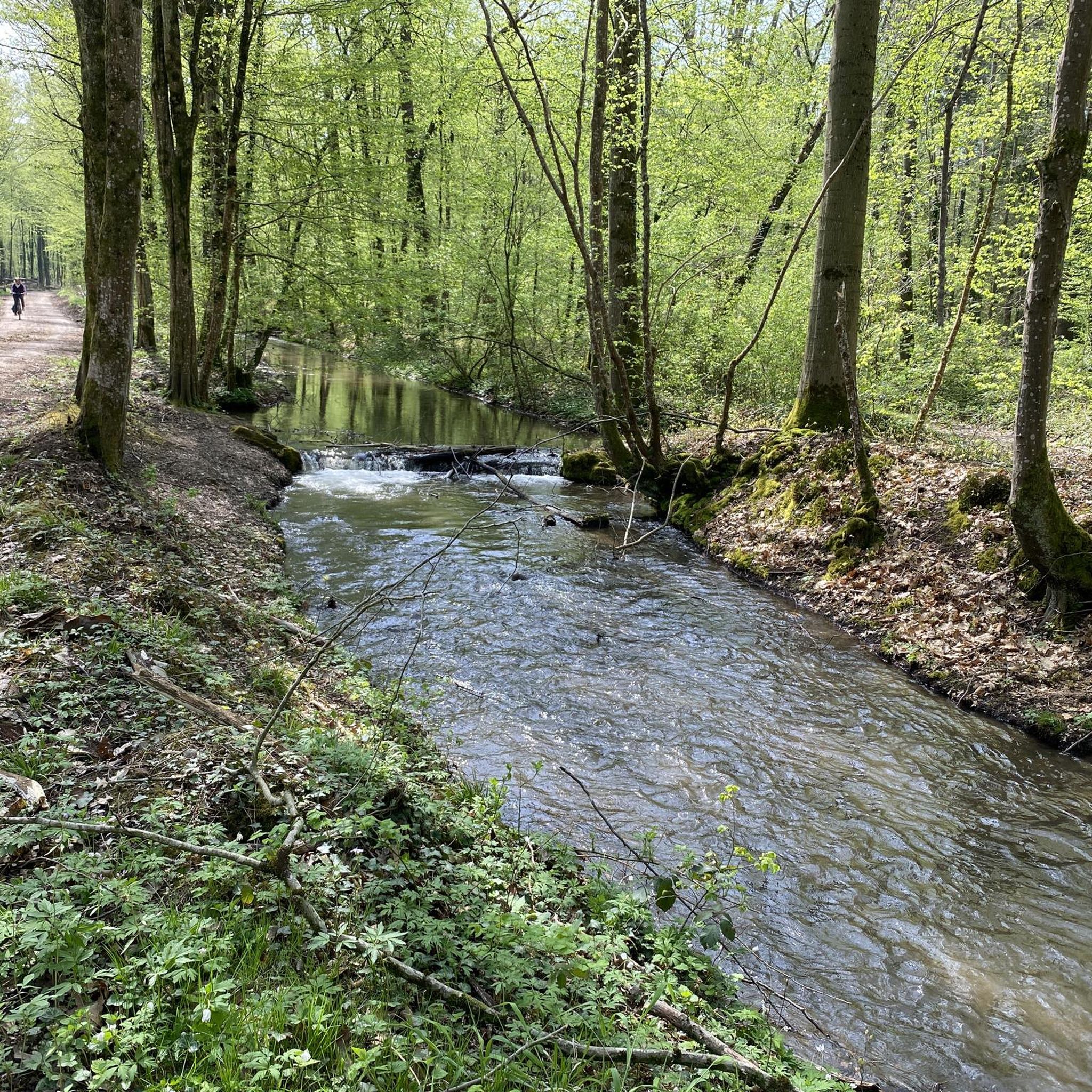
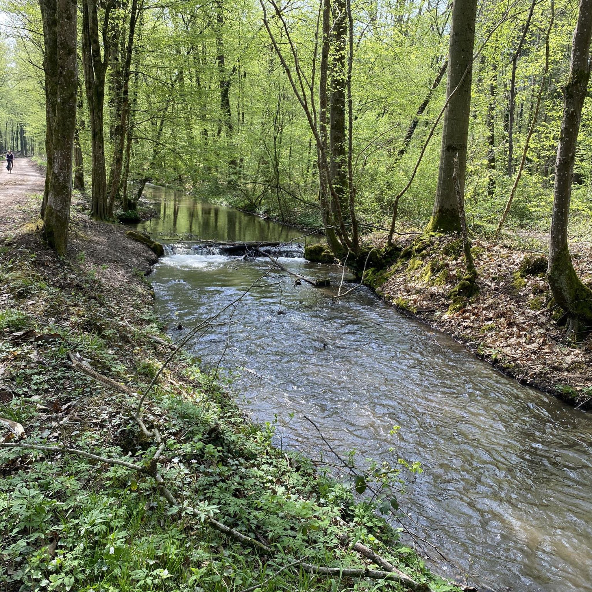
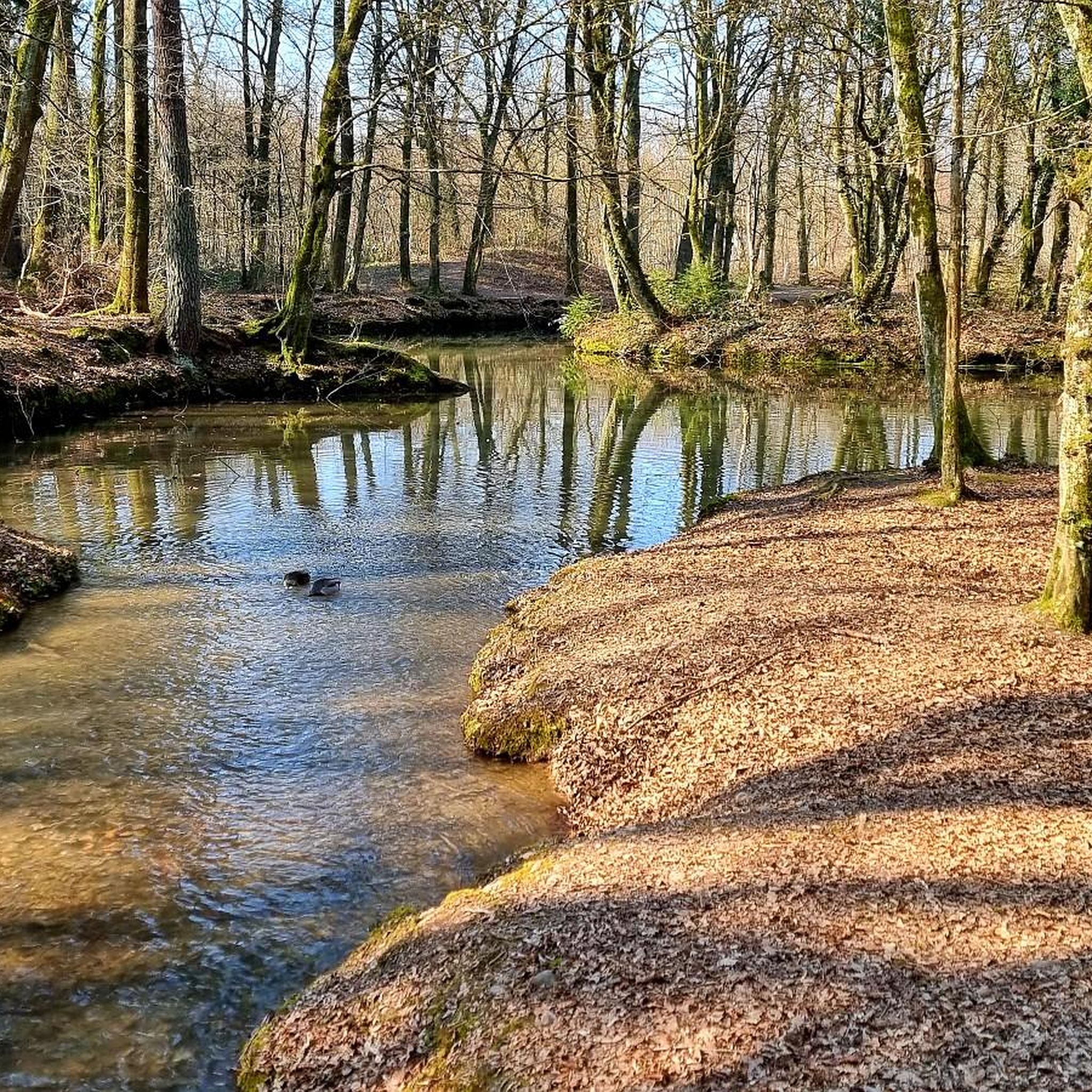
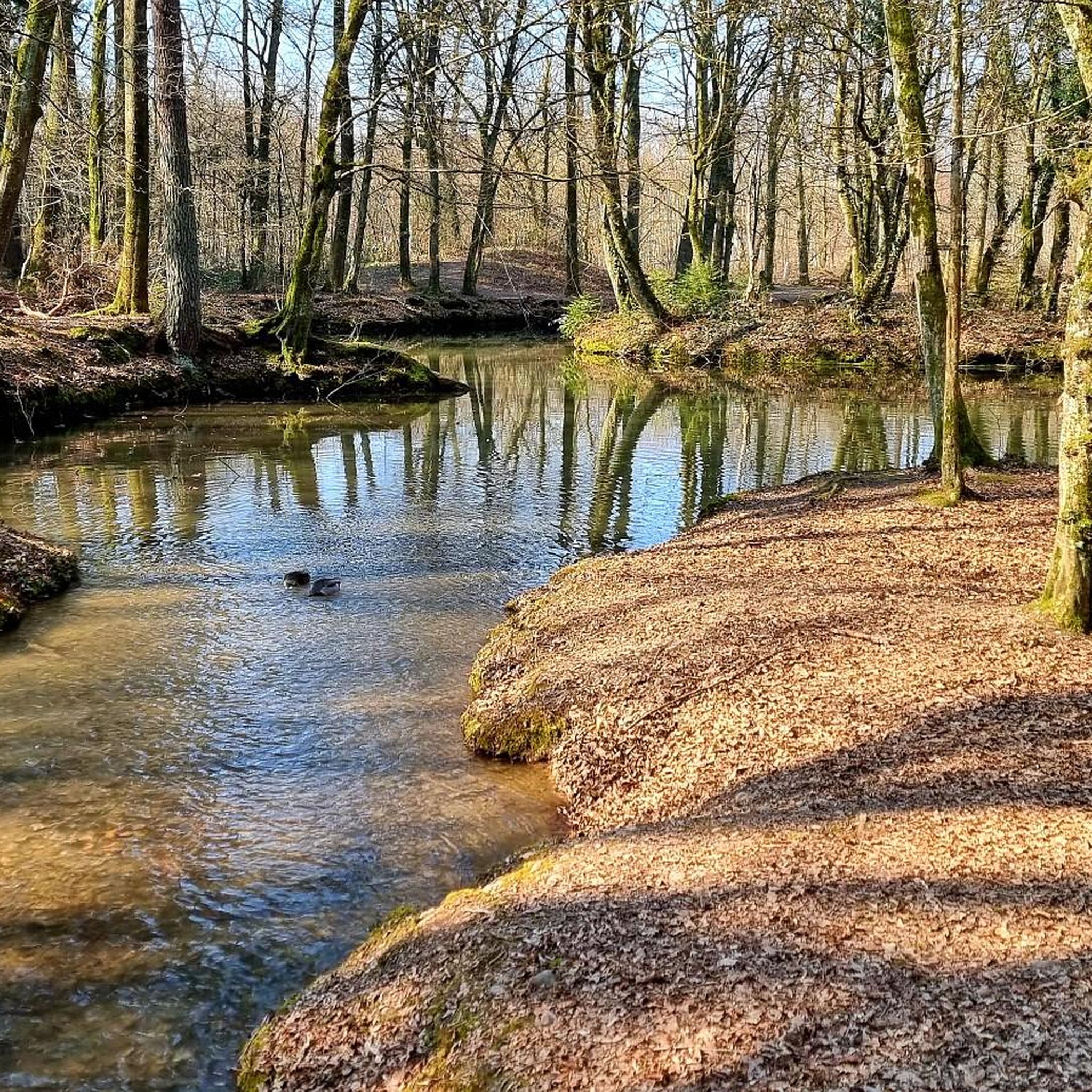
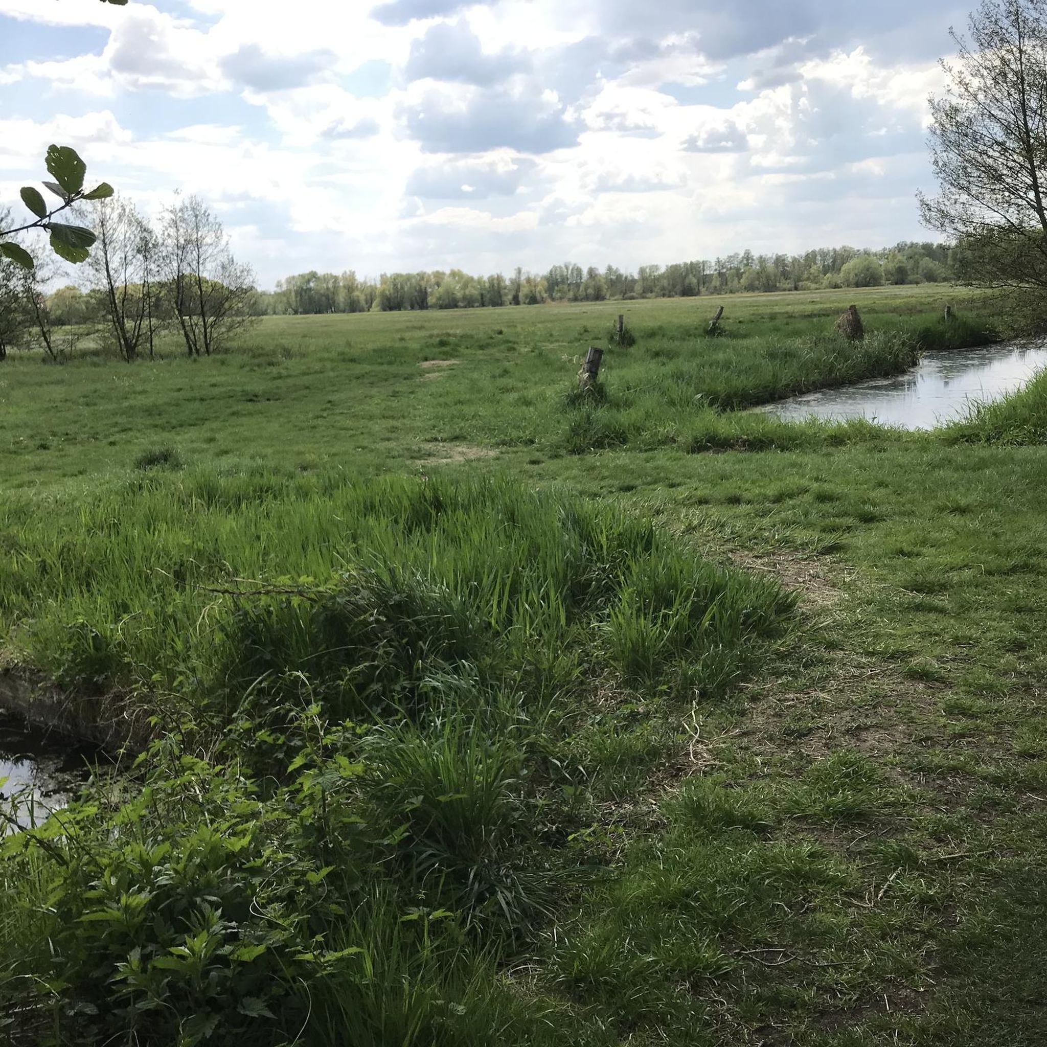
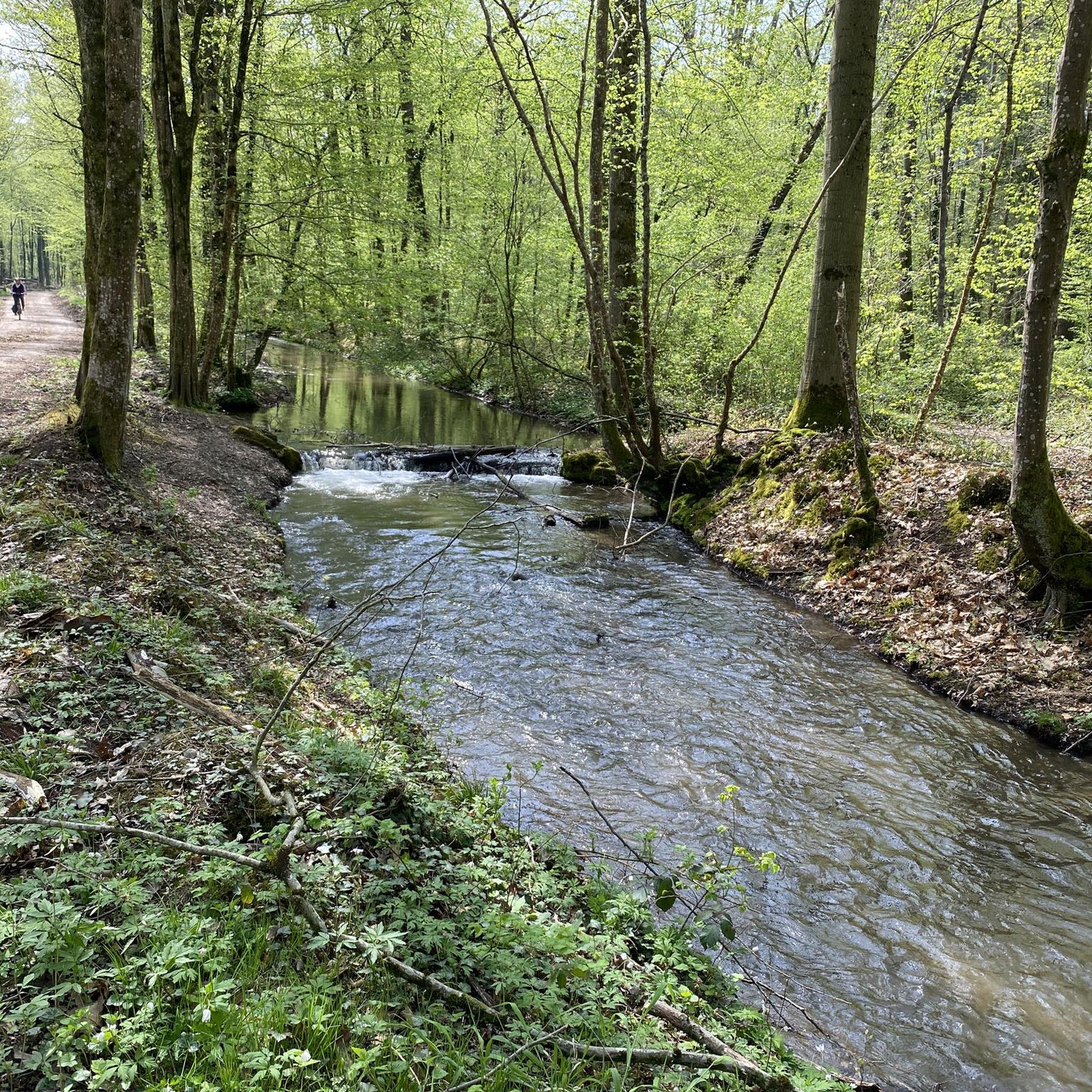
Along the mountaineering routes in Teninger Allmend, you can discover several natural features and points of interest. Keep an eye out for the Woodland lake in Teninger Allmend, a serene spot for a break. You might also encounter the Wooden Bridge Over the Glotter, and from various viewpoints, enjoy picturesque views of the Kandel mountain and the Rhine plain.
Can I bring my dog on the mountaineering trails in Teninger Allmend?
Teninger Allmend is generally dog-friendly, with many trails suitable for hiking with your canine companion. However, it's always recommended to keep your dog on a leash, especially in forested areas or near wildlife, and to check for any specific local regulations on individual routes.
Are the mountaineering routes in Teninger Allmend suitable for families with children?
While some routes in Teninger Allmend are quite challenging and require good fitness, there are easier paths in the broader region. For mountaineering specifically, the moderate Vogelsang Pass Viewpoint – Neunlinden Tower loop from Kaiserstuhl might be suitable for older, more experienced children. Always consider the difficulty, duration, and elevation gain when planning a family outing.
How long do the mountaineering routes typically take to complete?
The duration of mountaineering routes in Teninger Allmend varies depending on the specific trail and your pace. The more challenging routes, such as the View from the Kandel – Kandel Summit Viewpoint loop from Waldkirch, can take around 7 hours. The moderate Vogelsang Pass Viewpoint – Neunlinden Tower loop from Kaiserstuhl typically takes about 2 hours 30 minutes.
What is the best time of year to go mountaineering in Teninger Allmend?
The region around Teninger Allmend is enjoyable for outdoor activities throughout much of the year. Spring and autumn offer pleasant temperatures and beautiful scenery, with vibrant foliage in the fall. Summer provides longer daylight hours, though some trails may be warmer. Winter mountaineering is possible but requires appropriate gear and awareness of conditions, as some routes can be challenging.
Are permits required for mountaineering in Teninger Allmend?
No, permits are generally not required for mountaineering or hiking on the public trails in Teninger Allmend. The trails are freely accessible for outdoor enthusiasts.
What do other mountaineers say about the routes in Teninger Allmend?
The mountaineering routes in Teninger Allmend are highly rated by the komoot community, with an average score of 5.0 stars from over 3 reviews. Mountaineers often praise the dense forests, the challenging nature of the routes, and the rewarding views of the Kandel mountain and the Rhine plain.
Most popular routes in Teninger Allmend
Most popular attractions in Teninger Allmend

Get inspired with the komoot mobile app


Explore more
Browse the best Mountain Hikes & Routes in other regions.
