
The best road cycling routes around Sylva
28
riders
5
rides
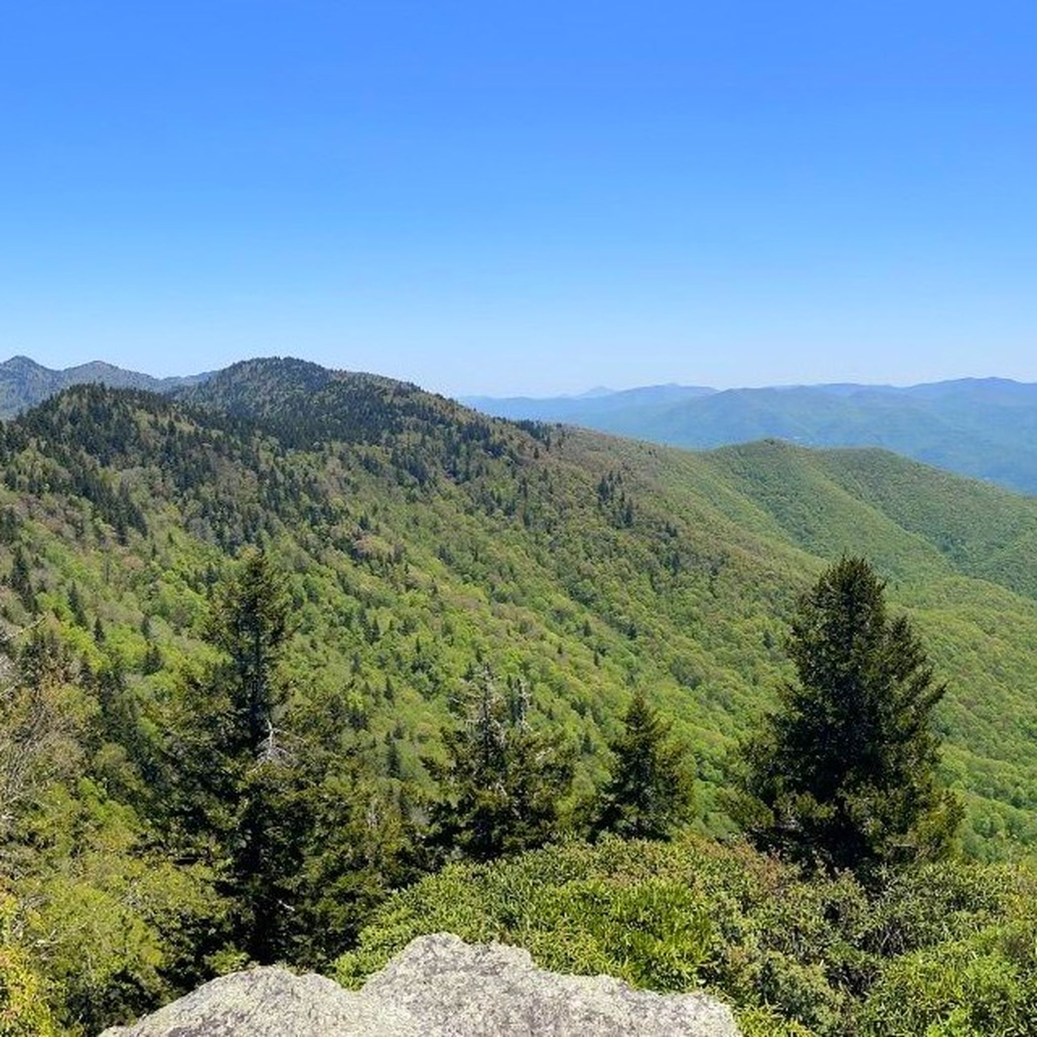
Road cycling routes around Sylva, North Carolina, navigate the diverse terrain of the Plott Balsam Mountains, part of the Appalachian range. This area is characterized by significant elevation changes, offering challenging climbs and descents on well-maintained roads. Cyclists can experience mountainous landscapes and access scenic backroads that lead to various overlooks.
Best road cycling routes around Sylva
- The most popular road cycling route is Woodfin Valley Overlook loop from Sylva, a 32.1 miles (51.7 km) trail that takes 2…
Last updated: June 8, 2026
6
riders
70.3km
03:36
1,040m
1,040m
Hard road ride. Very good fitness required. Mostly well-paved surfaces and easy to ride.
4
riders
42.5km
02:02
480m
480m
Moderate road ride. Good fitness required. Mostly well-paved surfaces and easy to ride.
5
riders
74.2km
03:41
1,020m
1,020m
Hard road ride. Very good fitness required. Mostly well-paved surfaces and easy to ride.
Get access to more routes and recommendations from other explorers.
Already have an account?
Our route recommendations are based on thousands of hikes, rides, and runs completed by other people on komoot.

Tips from the Community

Great single track that stretches about 4-5 miles. Highly recommend if you are in the area. Lots of highs and lows with a plethora of complex but enjoyable curves and dips.
0
0
Frequently Asked Questions
How many road cycling routes are available around Sylva?
Sylva offers a selection of road cycling routes that navigate the diverse terrain of the Plott Balsam Mountains. There are 6 routes detailed in this guide, ranging from moderate to difficult, catering to various fitness levels.
What kind of terrain can I expect on road cycling routes in Sylva?
Road cycling in Sylva is characterized by mountainous terrain within the Plott Balsam Mountains. You can expect significant elevation changes, offering both challenging climbs and rewarding descents on mostly well-paved surfaces. The region also provides access to scenic mountain backroads.
Are there challenging road cycling routes with significant elevation gain in Sylva?
Yes, Sylva is known for its challenging routes. For instance, the Oconaluftee River Overlook – Lickstone Ridge Overlook loop from Sylva is a difficult 57.3-mile path featuring the highest elevation gain in the area, approaching 2,000 meters (6,200 feet) of ascent. Another demanding option is the Little Mountain – Judaculla Mountain loop from Waynesville, which includes over 1,100 meters of elevation gain.
Are there any easier or moderate road cycling options in Sylva?
While many routes are challenging, there are moderate options available. The Woodfin Valley Overlook loop from Sylva is a popular moderate route, covering 32.1 miles with substantial elevation gain through mountain scenery. Another moderate choice is the HHS Connector Trail loop from Sylva, a 26.4-mile trail through varied local landscapes.
What scenic viewpoints or landmarks can I see while road cycling near Sylva?
Sylva offers access to breathtaking viewpoints. The region is a gateway to the iconic Blue Ridge Parkway, where you can ride to overlooks like the Fork Ridge Overlook, situated at 5,280 feet, offering panoramic views. You can also explore the Blue Ridge Parkway to Waterrock Knob climb from Hwy 19 for stunning vistas. While primarily a hiking destination, Pinnacle Park also offers impressive panoramic views of Sylva and the surrounding mountains.
Are there family-friendly cycling options in Sylva?
For a less strenuous or family-friendly cycling experience, the Tuckasegee Greenway provides a dedicated bike park with features like table-top jumps and shaded trails. It's an excellent spot for introducing younger riders to outdoor cycling.
Where can I find parking for road cycling routes in Sylva?
Many road cycling routes in Sylva, especially those starting from town, will have accessible parking in or near the downtown area. For routes accessing the Blue Ridge Parkway, parking is typically available at various overlooks and visitor centers along the Parkway itself.
What is the best time of year for road cycling in Sylva?
The best time for road cycling in Sylva is generally during the spring, summer, and fall months. These seasons offer pleasant temperatures and vibrant scenery, especially in autumn when the foliage is spectacular. Always check local weather conditions, as mountain weather can be unpredictable.
What do other road cyclists enjoy most about road cycling in Sylva?
Road cyclists frequently praise Sylva for its diverse and challenging mountainous terrain, the access it provides to the iconic Blue Ridge Parkway, and the scenic mountain backroads. The area's well-maintained roads and rewarding descents are also often highlighted by the komoot community.
Are there any long-distance road cycling routes near Sylva?
Yes, Sylva serves as an excellent base for longer rides. The Oconaluftee River Overlook – Lickstone Ridge Overlook loop from Sylva is a substantial 57.3-mile route. Additionally, the Cope Mountain loop from Balsam Gap offers a challenging 46.8-mile ride with over 1,100 meters of elevation gain.
Can I find cafes or places to eat near road cycling routes in Sylva?
Sylva's vibrant downtown area, with its local restaurants, shops, and breweries, provides a welcoming atmosphere for cyclists to relax and refuel after a ride. Many routes start or pass near the town, making it convenient to find refreshments.
Are there any circular road cycling routes in Sylva?
Yes, all the routes highlighted in this guide are circular loops, designed to bring you back to your starting point. Examples include the Woodfin Valley Overlook loop from Sylva and the HHS Connector Trail loop from Sylva.
Most popular routes around Sylva
Most popular attractions around Sylva

Get inspired with the komoot mobile app


