The best waterfall hikes and walks in Reynolds County
4.8
(5)
112
hikers
5
hikes
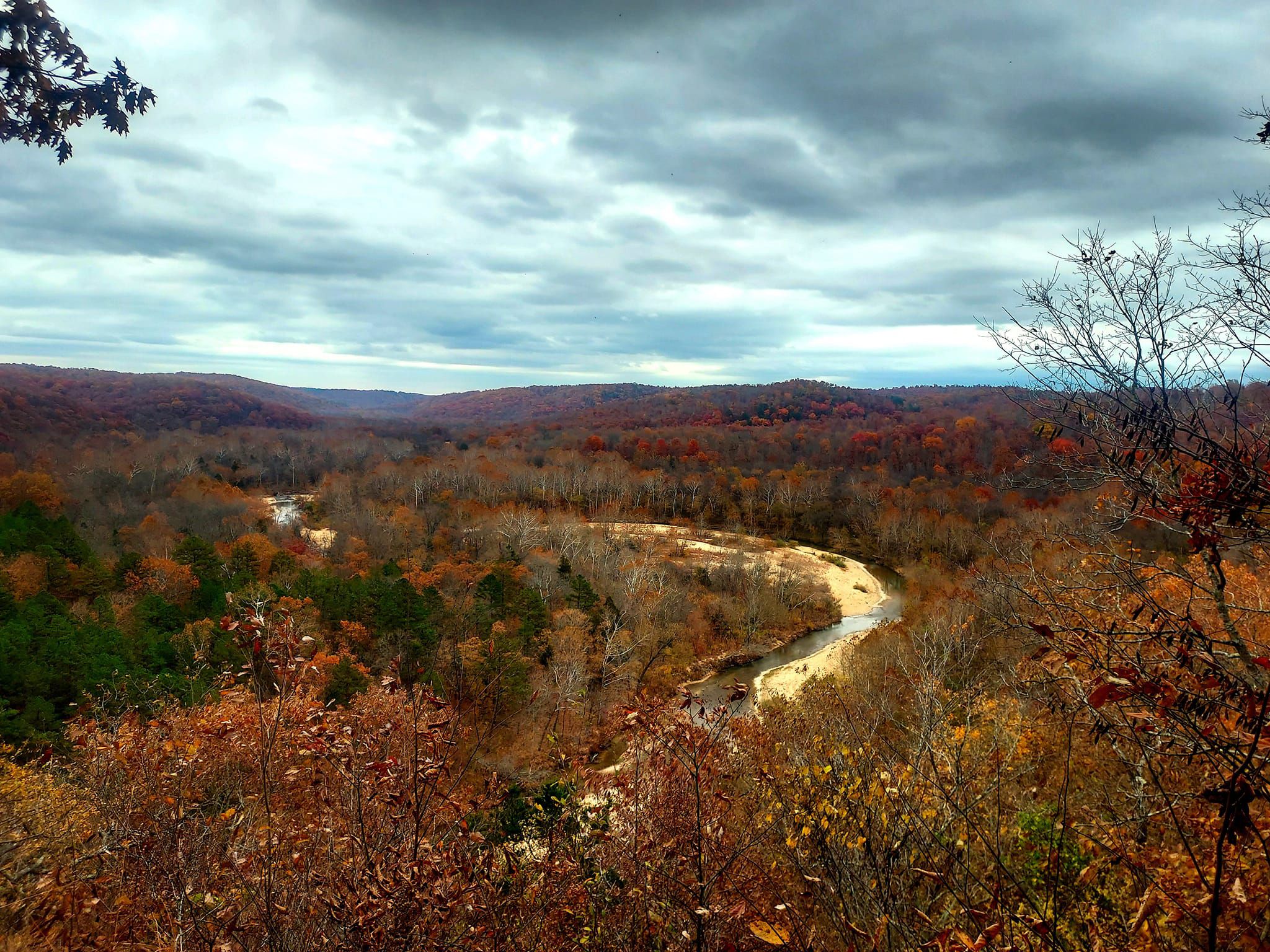
Waterfall hiking trails in Reynolds County offer diverse landscapes, from dense woodlands to rugged river valleys. The region is characterized by its ancient Ozark Mountains, featuring a mix of deciduous forests, granite outcrops, and numerous streams that feed into impressive waterfalls. These natural features create varied terrain suitable for different hiking abilities.
Best waterfall hiking trails in Reynolds County
- The most popular waterfall hiking route is Mina Sauk Falls Trail, an easy 3.0 miles (4.9 km) trail that takes…
Last updated: September 27, 2026
6
hikers
21.0km
05:56
350m
630m
Hard hike. Very good fitness required. Easily-accessible paths. Suitable for all skill levels.
1
hikers
9.12km
02:41
250m
250m
Moderate hike. Good fitness required. Easily-accessible paths. Suitable for all skill levels.

5.0
(1)
49
hikers
4.86km
01:23
110m
110m
Easy hike. Great for any fitness level. Easily-accessible paths. Suitable for all skill levels.
5.0
(1)
5
hikers
6.53km
01:50
130m
130m
Easy hike. Great for any fitness level. Easily-accessible paths. Suitable for all skill levels.
5.0
(1)
24
hikers
3.92km
01:05
70m
70m
Easy hike. Great for any fitness level. Easily-accessible paths. Suitable for all skill levels.
Our route recommendations are based on thousands of hikes, rides, and runs completed by other people on komoot.
Start today with a free account
Your next adventure awaits.


Other adventures in Reynolds County

Tips from the Community


The eastern portion of this trail runs along the East Fort of the Black River which flows through rock formations that form natural water pools and chutes which are called "shut-ins".
0
0
Located in Taum Sauk Mountain State Park, these falls at 132 feet are the tallest waterfall in Missouri. The view over the top of the waterfall offers an impressive view of the St Francois Mountains.
0
0
Frequently Asked Questions
How many waterfall hiking trails are available in Reynolds County?
Reynolds County offers a number of dedicated waterfall hiking trails, with komoot featuring 6 routes specifically for exploring the region's cascades. These range from easy strolls to more challenging treks.
Are there easy waterfall hikes suitable for families in Reynolds County?
Yes, Reynolds County has several easy waterfall hikes perfect for families. The Mina Sauk Falls Trail is an easy 3.0-mile path leading to Missouri's highest waterfall, making it a great option. Another family-friendly choice is the Shut-Ins Trail Loop, an easy 4.1-mile route exploring unique geological formations and natural water features.
What is the typical length and duration of waterfall hikes in Reynolds County?
The length and duration of waterfall hikes in Reynolds County vary. Easy trails like the Mina Sauk Falls Trail are around 3 miles and take about 1 hour 23 minutes. More moderate options, such as the Russell Mountain to Taum Sauk Trail, can be around 5.7 miles and take approximately 2 hours 40 minutes. There are also longer, more challenging routes for experienced hikers.
Are dogs allowed on waterfall trails in Reynolds County?
Many trails in Reynolds County, including those leading to waterfalls, are dog-friendly, especially within state parks and conservation areas. However, it's always best to check specific park regulations or individual trail guidelines before heading out with your pet. Always keep dogs on a leash and clean up after them.
What is the best time of year to visit the waterfalls in Reynolds County?
The best time to visit the waterfalls in Reynolds County is typically in the spring, after heavy rains, when water levels are highest, creating the most impressive cascades. Fall also offers beautiful scenery with vibrant foliage. While accessible year-round, some waterfalls may have reduced flow during drier summer months.
Are there any loop waterfall trails in Reynolds County?
Yes, Reynolds County features loop trails that allow you to experience the waterfalls and surrounding nature without retracing your steps. The Shut-Ins Trail Loop is a popular easy 4.1-mile option that forms a complete circuit around the unique geological formations.
What should I wear for waterfall hiking in Reynolds County?
For waterfall hiking in Reynolds County, wear comfortable, sturdy hiking shoes with good grip, as trails can be uneven or wet. Dress in layers suitable for the weather, and consider waterproof outerwear, especially in spring. Insect repellent is also recommended, particularly during warmer months.
What do other hikers enjoy most about hiking in Reynolds County?
The area is highly rated by the komoot community, with an average score of 4.8 stars from over 7 reviews. Reviewers often praise the region's natural beauty, the impressive waterfalls, and the diverse terrain that offers options for various skill levels.
Are there any challenging waterfall hikes in Reynolds County?
Yes, for experienced hikers seeking a challenge, Reynolds County offers more strenuous options. The Ozark Trail: Taum Sauk Section is a difficult 13-mile route that traverses rugged terrain and offers significant elevation changes, providing a rewarding experience for those looking for a longer adventure.
Are there any hidden gem waterfall hikes in Reynolds County?
While the most prominent waterfalls are well-known, exploring less-trafficked sections of the Ozark Trail or local conservation areas can reveal smaller, more secluded cascades, especially after rainfall. These often require a bit more navigation but offer a peaceful experience away from crowds.
What kind of wildlife might I encounter on waterfall trails in Reynolds County?
Reynolds County's dense woodlands and clear streams are home to diverse wildlife. Hikers might spot white-tailed deer, various bird species including wild turkeys, and smaller mammals. Keep an eye out for amphibians and reptiles near water sources. Always observe wildlife from a distance and avoid disturbing their natural habitat.
Is parking available at the trailheads for waterfall hikes?
Most established trailheads for waterfall hikes in Reynolds County, especially those within state parks or conservation areas, offer designated parking facilities. It's advisable to check specific trail information or park websites for details on parking availability and any potential fees before your visit.
Most popular routes in Reynolds County

Get inspired with the komoot mobile app


Didn’t find what you were looking for?
Check out more Hikes throughout Reynolds County below and find the perfect route in your destination.
Explore more
Browse the best Hikes in other regions.
