The best walks and hikes around Martagny
4.8
(16)
36
hikers
12
hikes
Hiking around Martagny offers access to a diverse landscape within the Swiss canton of Valais. The region is situated in the Rhône Valley, providing views of surrounding peaks like the Combin and Mont-Blanc massifs. Trails often traverse sun-drenched vineyards, orchards, and lead through pine and larch forests. Dramatic gorges and waterfalls, such as the Gorges du Durnand and Pissevache waterfall, are also prominent natural features.
Best hiking trails around Martagny
- The most popular hiking route is Hiking loop from Saint-Pierre-es-Champs…
Last updated: May 20, 2026
4.6
(11)
20
hikers
10.6km
02:56
170m
170m
Moderate hike. Good fitness required. Easily-accessible paths. Suitable for all skill levels.
5.0
(1)
3
hikers
7.76km
02:09
140m
140m
Moderate hike. Good fitness required. Easily-accessible paths. Suitable for all skill levels.

Sign up for free
5.0
(1)
3
hikers
5.43km
01:32
110m
110m
Easy hike. Great for any fitness level. Easily-accessible paths. Suitable for all skill levels.
3
hikers
13.4km
03:32
130m
130m
Moderate hike. Good fitness required. Easily-accessible paths. Suitable for all skill levels.
5.0
(1)
3
hikers
10.6km
02:59
230m
230m
Moderate hike. Good fitness required. Easily-accessible paths. Suitable for all skill levels.
Get access to more routes and recommendations from other explorers.
Sign up for free
Already have an account?
Our route recommendations are based on thousands of hikes, rides, and runs completed by other people on komoot.
Start today with a free account
Your next adventure awaits.
Login or Signup



Tips from the Community

This pleasant and slightly landlocked forest road delimits two neighboring departments! To the north, Seine-Maritime; to the south, Eure.
1
0

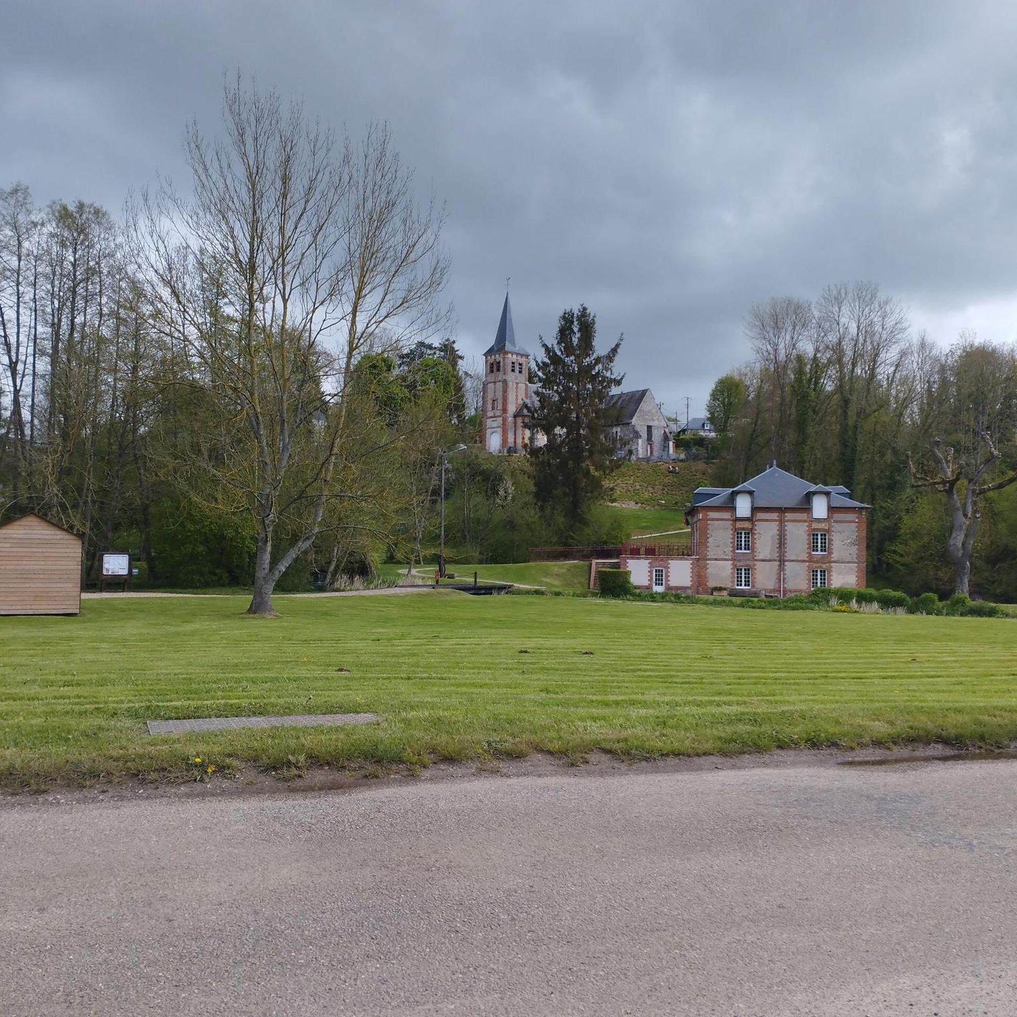
An astonishing site with exceptional views of the Pays de Bray, in the heart of the nature reserve of the larris and peat bogs of Saint-Pierre-ès-Champs.
3
0
Frequently Asked Questions
What types of landscapes will I encounter on hikes around Martigny?
Hiking around Martigny offers a diverse range of scenery. You'll find wide views over the Rhône Valley and surrounding peaks like the Combin and Mont-Blanc massifs. Many trails traverse sun-drenched vineyards and orchards, particularly on the slopes of the Dranse river. The region also features dramatic natural wonders such as the Gorges du Durnand and the Pissevache waterfall, as well as pine and larch forests.
Are there hiking trails suitable for beginners or those looking for an easy walk in Martigny?
Yes, Martigny offers several easy hiking options. For instance, the Orchards and Arable Field Crops loop from Saint-Pierre-es-Champs is an easy 3.4-mile (5.4 km) trail that takes about 1 hour 31 minutes to complete, winding through agricultural areas. The region has a total of 2 easy routes, perfect for a relaxed outing.
What natural attractions or landmarks can I see along the hiking trails near Martigny?
The Martigny region is rich in natural and historical sights. You can explore the impressive Gorges du Durnand with its boardwalks and tunnels, or witness the striking 114-meter Pissevache waterfall. The Trient gorge also offers scenic paths. For historical interest, the medieval Bâtiaz Castle is visible from some vineyard routes. While hiking, you might also pass by the Saint-Germer-de-Fly Abbey Church or the Rouge Mare monument.
Are there any circular hiking routes available in the Martigny area?
Yes, many of the trails around Martigny are designed as circular routes, allowing you to start and end in the same location. Examples include the Hiking loop from Saint-Pierre-es-Champs, which is a 6.6-mile (10.6 km) moderate trail, and the Orchards and Arable Field Crops loop from Saint-Pierre-es-Champs, a 4.8-mile (7.8 km) moderate path. There is also the Hiking loop from Fleury-la-Forêt, a longer 8.3-mile (13.4 km) moderate option.
What do other hikers enjoy most about hiking in Martigny?
The hiking experiences in Martigny are highly rated by the komoot community, with an average score of 4.8 stars from over 15 reviews. Hikers often praise the diverse terrain, from the panoramic views of the Rhône Valley and Alpine peaks to the unique experience of walking through terraced vineyards and orchards. The well-maintained paths and the variety of difficulty levels also receive positive feedback.
Can I find trails that pass through vineyards or agricultural areas in Martigny?
Absolutely. The Martigny region is known for its sun-drenched vineyards and orchards, particularly along the Dranse river. Trails like the Orchards and Arable Field Crops loop from Saint-Pierre-es-Champs and the Orchards and Arable Field Crops loop from Neuf-Marché specifically wind through these cultivated fields, offering a unique insight into the local agriculture and wine culture.
Are there any challenging hikes for experienced hikers in Martigny?
Yes, while Martigny offers many moderate and easy routes, there is also one difficult trail for those seeking a greater challenge. The surrounding mountains, such as Grand Muveran and La Breya, provide a dramatic backdrop and more strenuous options for experienced hikers looking for significant ascents and high-altitude experiences.
What is the best time of year to go hiking in Martigny?
Martigny offers pleasant hiking conditions for much of the year. The spring, particularly between March and May, is notable for the blooming adonis flowers on trails like the Sentier des Adonis. Summer provides a warm climate ideal for exploring, while autumn offers beautiful colors in the vineyards and forests. Winter also allows for snowshoeing and winter hiking in higher altitudes.
Are there any historical trails or routes that follow ancient paths in the Martigny region?
Yes, the Martigny region is home to several historical routes. The 'Chemin des Bisses' follows ancient irrigation channels, offering a unique blend of history and nature. Additionally, a section of the historic long-distance pilgrimage route, the ViaFrancigena, passes through Martigny, featuring sites like the Pissevache waterfall and Trient gorge.
How many hiking trails are there in total around Martigny?
There are 9 hiking trails available around Martigny, catering to various difficulty levels. This includes 2 easy routes, 6 moderate routes, and 1 difficult route, ensuring options for every hiker.
Are there any trails that offer panoramic views of the Mont-Blanc massif?
Many trails in the Martigny region provide stunning panoramic views. Situated in the Rhône Valley, the area offers vistas of the surrounding peaks, including the impressive Mont-Blanc massif and the Combin massif. The Mont de l'Arpille loop trail, starting from Col de la Forclaz, is particularly known for its extensive views over the Rhône Valley and the Mont-Blanc massif.
Most popular attractions around Martagny

Get inspired with the komoot mobile app


Explore more
Browse the best Hikes in other regions.
