The best walks and hikes around Flers-Sur-Noye
4.8
(69)
321
hikers
40
hikes
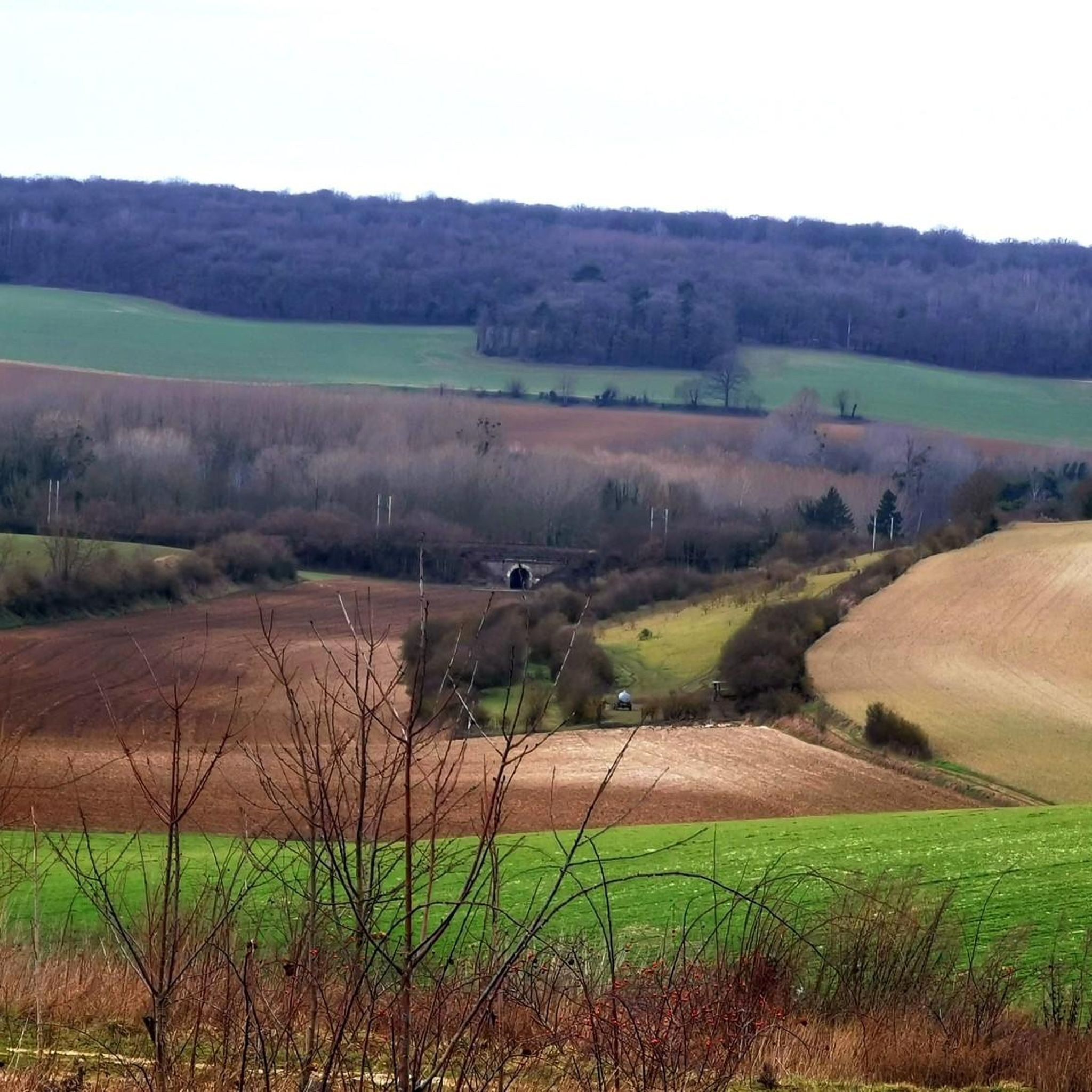
Hiking around Flers-Sur-Noye offers routes through gently undulating landscapes, characterized by plateaus and valleys that descend towards the Noye river. The terrain primarily features cretaceous tertiary formations with argillaceous layers of plateau silt and marly chalk on the valley slopes. These physical features provide varied paths suitable for exploration of the rural French countryside. The area supports local wildlife within its natural environment.
Best hiking trails around Flers-Sur-Noye
- The most popular hiking route is Étang de Berny – Berny Pond…
Last updated: October 31, 2026
4.4
(7)
25
hikers
10.2km
02:44
120m
120m
Moderate hike. Good fitness required. Easily walkable paths.
4.7
(3)
15
hikers
15.3km
04:02
130m
130m
Moderate hike. Good fitness required. Easily walkable paths.

5.0
(2)
12
hikers
6.28km
01:39
50m
50m
Easy hike. Easily walkable paths.
10
hikers
9.47km
02:28
70m
70m
Moderate hike. Good fitness required. Easily walkable paths.
4.5
(2)
11
hikers
21.1km
05:33
190m
190m
Hard hike. Very good fitness required. Easily walkable paths.
Get access to more routes and recommendations from other explorers.
Already have an account?
Our route recommendations are based on thousands of hikes, rides, and runs completed by other people on komoot.
Start today with a free account
Your next adventure awaits.


Tips from the Community


For the technicians, in the middle of nature around large fish bees
0
0

Body of water for fishermen 🎣 Pedalos in summer 🚣♀️ Children's playground👨👨👦👦 Picnic with tables 🧺 Bar open on sunny days ☀️🍦🍨 Mini-golf ⛳
1
0
Frequently Asked Questions
How many hiking trails are available around Flers-sur-Noye?
There are over 40 hiking trails in the Flers-sur-Noye area, catering to various fitness levels. You'll find a good mix of easy, moderate, and a few more challenging routes to explore the local landscape.
What kind of landscape can I expect when hiking near Flers-sur-Noye?
The landscape around Flers-sur-Noye is characterized by gently undulating terrain, featuring plateaus and valleys that descend towards the Noye river. You'll encounter rural French countryside with argillaceous layers of plateau silt and marly chalk on the valley slopes, providing varied paths for exploration.
Are there any easy hiking trails suitable for beginners or families?
Yes, Flers-sur-Noye offers several easy trails. An excellent option is the Berny Pond – Étang de Berny loop from Ailly-sur-Noye, which is about 6.5 km long and typically takes under two hours to complete, leading through a pleasant pond area.
What are some points of interest or landmarks I might see on a hike?
While hiking, you can discover various points of interest. Consider visiting the historic Château de Prouzel or exploring the Coulée Verte. The Path along the Noye from Guyancourt to Remiencourt also offers scenic views along the river.
Are there any circular hiking routes in the area?
Many routes around Flers-sur-Noye are circular. For example, the popular Étang de Berny – Berny Pond loop from Ailly-sur-Noye is a moderate 10.1 km circular trail that explores the area around Berny Pond.
What do other hikers say about the trails in Flers-sur-Noye?
The trails in Flers-sur-Noye are highly regarded by the komoot community, with an average rating of 4.8 stars from over 40 reviews. Hikers often praise the tranquil rural setting and the varied terrain that makes for enjoyable walks.
Are there any longer or more challenging hikes available?
Yes, for those seeking a longer challenge, the Abandoned Railway Bridge loop from Conty is a difficult 21 km route that takes over five hours to complete, offering a more extensive exploration of the region.
Can I find trails that feature historical elements?
Absolutely. The Abandoned Railway Bridge – Saint-Vaast Church loop from Conty is a moderate 15.3 km path that includes both an abandoned railway bridge and the historic Saint-Vaast Church, providing a blend of nature and local heritage.
Is there a good trail for experiencing the Noye river environment?
Yes, the region's geography is defined by its valleys descending towards the Noye river. The Path along the Noye from Guyancourt to Remiencourt is a highlight that allows you to experience the aquatic environment and tranquil beauty of the river.
What is the typical elevation gain on hikes in this area?
Hikes around Flers-sur-Noye generally feature gently undulating terrain. While specific elevation gains vary by route, many trails involve moderate ascents and descents, making them suitable for casual walkers and those with good fitness. For instance, the Abandoned Railway Bridge loop from Tilloy-lès-Conty has an elevation gain of around 65 meters.
Are there any wooded areas to explore while hiking?
Yes, the natural environment around Flers-sur-Noye includes wooded sections. You can explore areas like Hébécourt Wood, which offers a pleasant setting for walks amidst local flora and fauna.
Most popular routes around Flers-Sur-Noye
Most popular attractions around Flers-Sur-Noye

Get inspired with the komoot mobile app


Explore more
Browse the best Hikes in other regions.
