The best walks and hikes around Gémonville
3.0
(1)
24
hikers
10
hikes
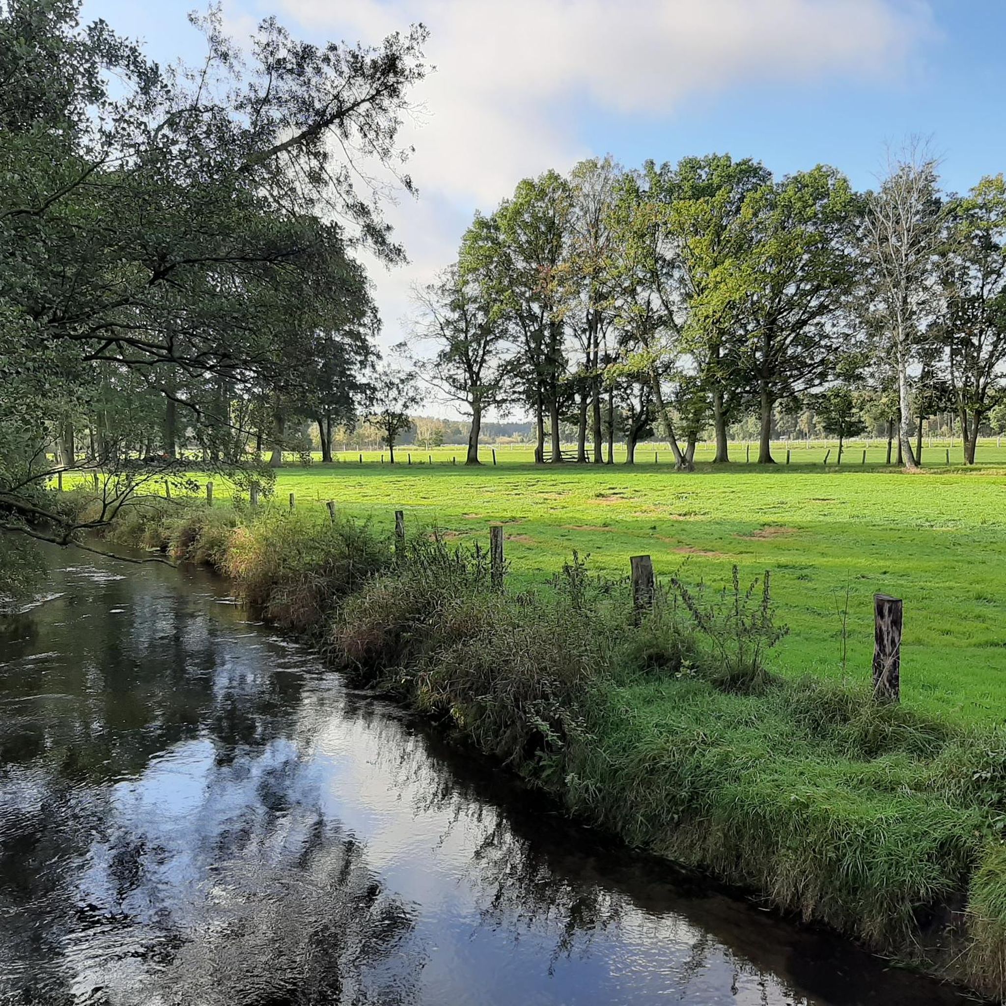
Hiking around Gémonville, a commune in France's Grand Est region, provides access to varied landscapes within the Meurthe-et-Moselle department. The area is characterized by deciduous forests, wooded hills, and river valleys, offering diverse terrain for outdoor activities. Gémonville is situated within reach of the Lorraine Regional Natural Park, known for its natural features and extensive trail network.
Best hiking trails around Gémonville
- The most popular hiking route is Bois du Président – Bois de la Rochotte loop from Vandeléville,…
Last updated: May 19, 2026
6
hikers
15.2km
04:15
290m
280m
Moderate hike. Good fitness required. Easily-accessible paths. Suitable for all skill levels.
5
hikers
9.26km
02:30
120m
120m
Moderate hike. Good fitness required. Easily-accessible paths. Suitable for all skill levels.

Sign up for free
3.0
(1)
3
hikers
9.08km
02:31
160m
160m
Moderate hike. Good fitness required. Easily-accessible paths. Suitable for all skill levels.
3
hikers
12.4km
03:25
220m
210m
Moderate hike. Good fitness required. Easily-accessible paths. Suitable for all skill levels.
4
hikers
2.81km
00:46
50m
50m
Easy hike. Great for any fitness level. Easily-accessible paths. Suitable for all skill levels.
Get access to more routes and recommendations from other explorers.
Sign up for free
Already have an account?
Our route recommendations are based on thousands of hikes, rides, and runs completed by other people on komoot.
Start today with a free account
Your next adventure awaits.
Login or Signup


Tips from the Community

In the center there is a small supermarket, bakery, post office, doctor. Just outside the center there is a municipal camping site.
0
0
Frequently Asked Questions
How many hiking trails are available around Gémonville?
There are nearly 10 hiking trails around Gémonville, offering a variety of experiences. These routes range from easy walks to more moderate excursions through the diverse landscapes of the Meurthe-et-Moselle department.
What types of landscapes can I expect to see while hiking near Gémonville?
The region around Gémonville is characterized by a rich and varied topography. You'll encounter extensive deciduous forests, wooded hills, and river valleys. The area is also close to the Lorraine Regional Natural Park, known for its diverse flora and fauna, and offers open panoramas of surrounding valleys, especially from elevated points like the Côtes de Meuse.
Are there any easy hiking routes suitable for beginners or a relaxed stroll?
Yes, there are easy routes available. For a relaxed walk, consider the Château de Vandeléville loop from Vandeléville. This route is just under 3 km and takes about 45 minutes to complete, offering a gentle introduction to the local scenery.
What are some of the longer, more challenging hikes in the area?
For a longer, moderate challenge, the Bois du Président – Bois de la Rochotte loop from Vandeléville is a great option. This trail spans over 15 km and typically takes around 4 hours and 15 minutes, winding through woodlands and offering scenic views.
Are there any circular hiking routes near Gémonville?
Many of the trails around Gémonville are circular, allowing you to start and end at the same point. An example is the Halls and center Vicherey loop from Tramont-Lassus, a moderate 12.4 km route that takes about 3 hours and 25 minutes to complete.
What points of interest or landmarks can I discover on a hike?
While hiking, you can explore the natural beauty of the Lorraine Regional Natural Park. For historical and scenic points, the nearby Colline de Sion offers panoramic views and the Maurice Barrès Monument. The region also features charming villages and historical sites like Domrémy-le-Pucelle, birthplace of Joan of Arc, which can be integrated into longer itineraries.
What do other hikers say about the trails around Gémonville?
The komoot community has explored the varied terrain around Gémonville, with over 20 hikers having used the platform to discover routes. While the overall rating is 3.0 stars, hikers often appreciate the quiet woodlands and the opportunity to experience the natural beauty of the Grand Est region.
Are there any trails that offer particularly good viewpoints?
Yes, for scenic vistas, consider the View loop from Favières. This moderate 9.1 km trail leads through rolling hills and is known for offering rewarding scenic viewpoints of the surrounding countryside, typically completed in about 2 hours and 30 minutes.
Can I find trails that combine natural beauty with local history?
Absolutely. The Château Lyautey loop from Vandeléville is a moderate 9.3 km path that explores both the natural landscapes and local history, offering a blend of outdoor activity and cultural insight, usually taking about 2 hours and 30 minutes.
Is Gémonville located near any significant natural parks?
Yes, Gémonville is situated within reach of the expansive Lorraine Regional Natural Park. This park is renowned for its diverse landscapes, including deciduous forests, rivers, and wooded hills, providing an immersive experience in unspoiled nature. You can find more information about the park on tourisme-bassindepontamousson.fr.
Are there any unique geological features to explore while hiking?
The region offers geological diversity, including areas like the 'Côtes de Meuse' which are listed as a natural site of great beauty, providing scenic views and varied terrain. Further afield, the 'Limestone lawn from Rudemont' exemplifies this, featuring limestone grasslands and rocky outcrops with splendid panoramic views. You can learn more about this site on tourisme-meurtheetmoselle.fr.

Get inspired with the komoot mobile app


Explore more
Browse the best Hikes in other regions.
