The best walks and hikes around Morvillers-Saint-Saturnin
4.6
(15)
85
hikers
27
hikes
Hiking around Morvillers-Saint-Saturnin offers access to diverse natural landscapes within the Somme department of France. The area is characterized by a tranquil rural setting and local woodlands, providing varied terrain for outdoor activities. Situated between the Vimeu and Amiénois regions, the commune features an elevation ranging from 188 to 216 meters. These walking trails cater to different fitness levels, from easy strolls to more challenging routes with moderate elevation changes.
Best hiking trails around Morvillers-Saint-Saturnin
- The most popular hiking route…
Last updated: June 30, 2026
4.5
(2)
7
hikers
12.3km
03:16
130m
130m
Moderate hike. Good fitness required. Easily-accessible paths. Suitable for all skill levels.
5
hikers
6.57km
01:43
50m
50m
Easy hike. Great for any fitness level. Easily-accessible paths. Suitable for all skill levels.

Sign up for free
3.0
(1)
5
hikers
9.38km
02:30
100m
100m
Moderate hike. Good fitness required. Easily-accessible paths. Suitable for all skill levels.
5.0
(1)
3
hikers
9.71km
02:38
140m
140m
Moderate hike. Good fitness required. Easily-accessible paths. Suitable for all skill levels.
6
hikers
9.33km
02:29
100m
100m
Moderate hike. Good fitness required. Easily-accessible paths. Suitable for all skill levels.
Get access to more routes and recommendations from other explorers.
Sign up for free
Already have an account?
Our route recommendations are based on thousands of hikes, rides, and runs completed by other people on komoot.
Start today with a free account
Your next adventure awaits.
Login or Signup


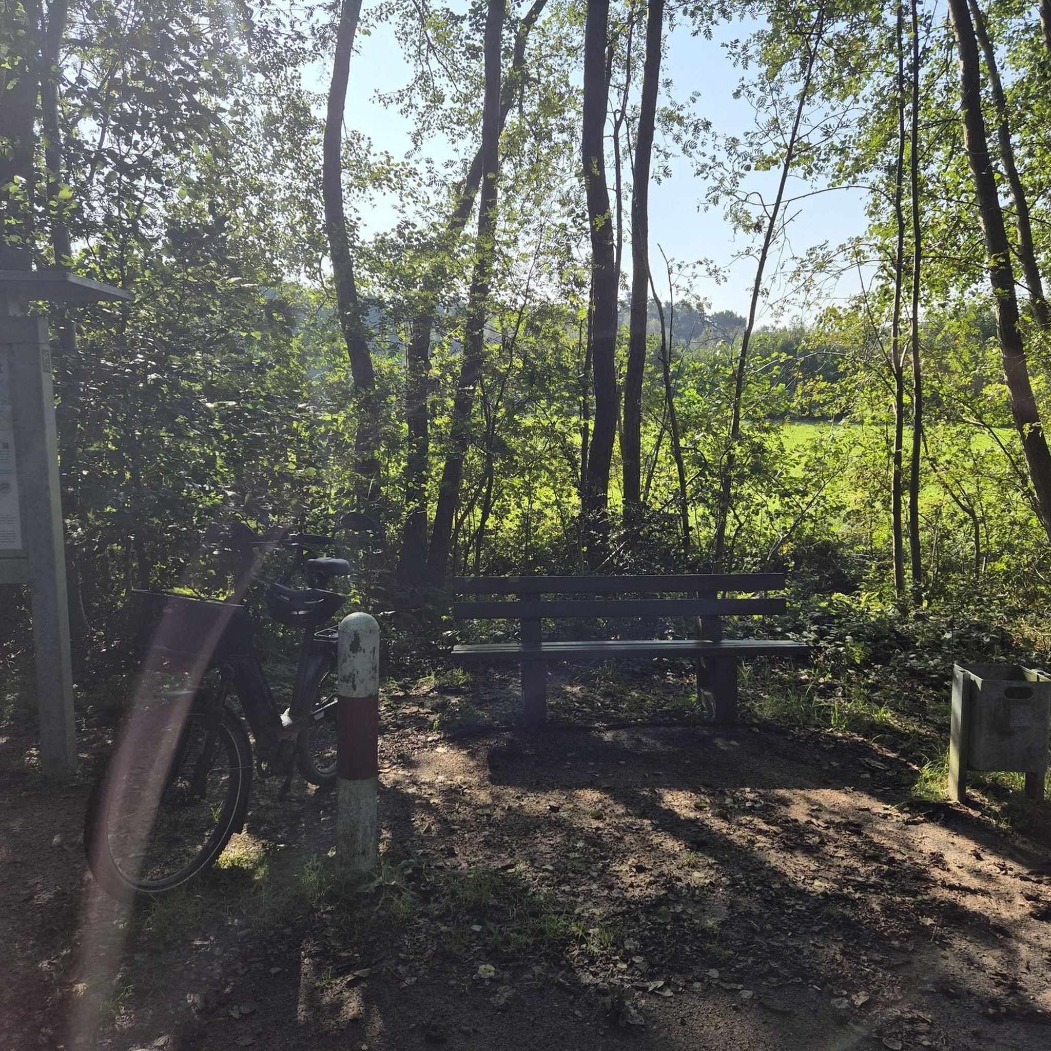

Tips from the Community

If you are looking for a gite for a night in the Aumale region, look no further, there is "le Mouton gras" in Aumale. Unbeatable quality / price ratio. complete meal more than correct and host with little care. Very very generous and quality breakfast. well equipped rooms, Parking inside.
1
0
Frequently Asked Questions
How many hiking trails are available around Morvillers-Saint-Saturnin?
There are nearly 30 hiking trails recorded in the Morvillers-Saint-Saturnin area, offering a variety of options for exploring the local woodlands and rural landscapes.
What types of terrain can I expect on the hiking trails?
The trails around Morvillers-Saint-Saturnin feature varied terrain, characteristic of the Somme department. You'll encounter local woodlands, open countryside, and gentle elevation changes, providing a mix of surfaces suitable for different abilities.
Are there any easy hiking routes suitable for beginners or families?
Yes, there are several easy routes. For a gentle introduction to the local landscape, consider the Hiking loop from Aumale, which is 6.6 km long and takes less than two hours to complete.
What are some notable natural features or points of interest to look out for?
While hiking, you'll experience the tranquil rural setting and local woodlands. The broader Somme department is known for its exceptional landscapes, and within Morvillers-Saint-Saturnin itself, the Parc du château de Digeon offers remarkable gardens that are pleasant for walking.
Are there any circular hiking routes in the area?
Many of the trails around Morvillers-Saint-Saturnin are circular, allowing you to start and end at the same point. Examples include the Mont Blanc loop from Aumale and the On height loop from Le Quesne, both offering diverse scenery.
What is the best time of year to go hiking in Morvillers-Saint-Saturnin?
The area is enjoyable for hiking throughout much of the year. Spring and autumn offer pleasant temperatures and beautiful scenery with changing foliage. Summer is also suitable, especially for walks through shaded woodlands. Winter hiking is possible, but be prepared for cooler temperatures and potentially muddy paths.
Are the hiking trails in Morvillers-Saint-Saturnin suitable for dogs?
Generally, dogs are welcome on many of the hiking trails in rural areas like Morvillers-Saint-Saturnin. However, it's always advisable to keep your dog on a leash, especially when passing through agricultural land or near livestock, and to check for any specific local regulations or signage.
What is the typical elevation gain on hikes in this region?
The elevation in Morvillers-Saint-Saturnin ranges from 188 to 216 meters. Most hikes feature moderate elevation gains, typically under 150 meters, making them accessible for a range of fitness levels. For example, the Hiking loop from Haudricourt has an ascent of around 200 meters.
Is there parking available at the trailheads?
While specific parking information for every trailhead isn't always available, as a rural commune, Morvillers-Saint-Saturnin and nearby villages often have public parking areas or roadside spots suitable for hikers. It's recommended to check local maps or route descriptions for designated parking near your chosen starting point.
What do other hikers say about the trails in Morvillers-Saint-Saturnin?
The trails in Morvillers-Saint-Saturnin are highly rated by the komoot community, with an average score of 4.5 stars from over 15 reviews. Hikers often praise the peaceful rural setting, well-maintained paths, and the opportunity to explore the natural beauty of the Somme department.
Are there any longer, more challenging routes for experienced hikers?
Yes, for those seeking a longer challenge, routes like the Bois du Varambeaumont loop from Aumale offer a moderate difficulty level, covering over 11 km with a notable elevation gain, providing a more extended exploration of the local woodlands.
Most popular routes around Morvillers-Saint-Saturnin

Get inspired with the komoot mobile app


Explore more
Browse the best Hikes in other regions.
