The best walks and hikes around Saint-Oulph
4.6
(15)
85
hikers
21
hikes
Hiking around Saint-Oulph offers exploration of a serene, rural landscape in the Aube department of north-central France. The area is characterized by the presence of the River Seine and the old Canal de la Haute Seine, which define much of its geography. These waterways create a network of paths and greenways, providing flat terrain suitable for walking. The surrounding countryside features open spaces and dispersed housing, contributing to a tranquil outdoor experience.
Best hiking trails around Saint-Oulph
- The most popular…
Last updated: June 29, 2026
4.0
(1)
15
hikers
5.48km
01:23
10m
10m
Easy hike. Great for any fitness level. Easily-accessible paths. Suitable for all skill levels.
4.5
(2)
9
hikers
13.9km
03:31
20m
20m
Moderate hike. Good fitness required. Easily-accessible paths. Suitable for all skill levels.

Sign up for free
4.5
(2)
9
hikers
15.7km
03:58
20m
20m
Moderate hike. Good fitness required. Easily-accessible paths. Suitable for all skill levels.
4
hikers
9.83km
02:29
10m
10m
Moderate hike. Good fitness required. Easily-accessible paths. Suitable for all skill levels.
5.0
(1)
5
hikers
10.6km
02:40
20m
20m
Moderate hike. Good fitness required. Easily-accessible paths. Suitable for all skill levels.
Get access to more routes and recommendations from other explorers.
Sign up for free
Already have an account?
Our route recommendations are based on thousands of hikes, rides, and runs completed by other people on komoot.
Start today with a free account
Your next adventure awaits.
Login or Signup
Popular around Saint-Oulph
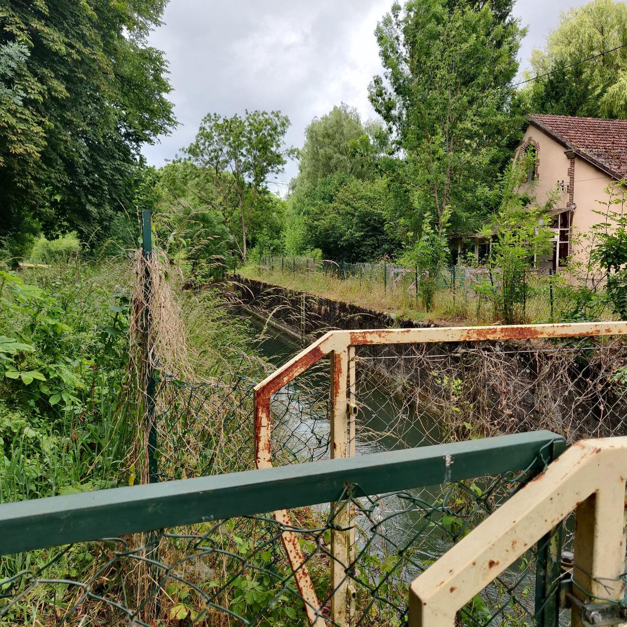

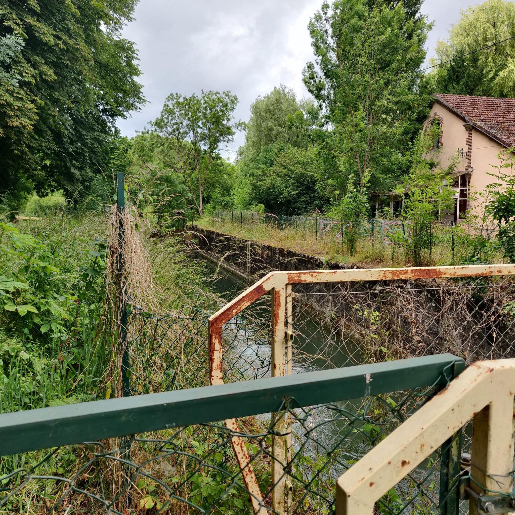
Tips from the Community

In the middle of the village there is a church with Joan of Arc
0
0
Frequently Asked Questions
How many hiking trails are available around Saint-Oulph?
There are nearly 20 hiking trails around Saint-Oulph, offering a variety of options for exploring the serene, rural landscape of the Aube department. These routes cater to different preferences and fitness levels.
What kind of terrain can I expect on hikes around Saint-Oulph?
The terrain around Saint-Oulph is largely defined by the River Seine and the old Canal de la Haute Seine. You can expect picturesque routes along these waterways, often featuring greenways and relatively flat paths. The surrounding area is rural, with open spaces and countryside, providing a tranquil outdoor experience.
Are there options for different difficulty levels?
Yes, the hiking routes around Saint-Oulph offer a range of difficulty levels. You'll find 7 easy trails, 9 moderate trails, and 3 more challenging routes, ensuring there's something for everyone from casual walkers to more experienced hikers.
What is the best time of year for hiking in Saint-Oulph?
The area around Saint-Oulph, with its riverside paths and open countryside, is generally pleasant for hiking during spring, summer, and early autumn. These seasons offer mild weather and lush scenery. Winter hikes are also possible, though conditions may be colder and some paths could be muddy.
Are there any circular hiking routes in Saint-Oulph?
Yes, many of the trails around Saint-Oulph are circular, allowing you to start and end at the same point. For example, you could try The barrage des aiguilles — loop from Romilly-sur-Seine, an easy 3.5-mile route, or the moderate Château de Droupt-Saint-Basle loop from Droupt-Sainte-Marie, which is 8.6 miles long.
Are the hiking trails around Saint-Oulph suitable for families with children?
Many of the trails around Saint-Oulph, particularly those along the waterways, are relatively flat and easy, making them suitable for families. Routes like Church with Joanne d'Arc loop from Méry-sur-Seine are easy and follow the riverside, offering a pleasant experience for all ages.
Are dogs allowed on the hiking trails in Saint-Oulph?
Generally, dogs are welcome on trails in rural areas like Saint-Oulph, especially if kept on a leash. The open countryside and riverside paths provide ample space for walks with your canine companion. Always ensure to clean up after your dog to maintain the natural environment.
What interesting landmarks or natural features can I see along the trails?
The trails around Saint-Oulph offer views of the River Seine and the old Canal de la Haute Seine. You can also discover points of interest such as the Upper Seine Canal, the Double Guillotine Lock No. 12-13 of Saint-Just-Sauvage, and The needle dam. Some routes also pass by historical sites like the Château de Droupt-Saint-Basle.
Where can I find parking for hiking trails in Saint-Oulph?
As Saint-Oulph is a rural commune, parking is typically available in or near the villages that serve as starting points for trails. You can often find parking in village centers or designated areas close to popular trailheads. It's advisable to check specific route details for parking recommendations.
Is public transport available to reach hiking trailheads in Saint-Oulph?
Public transport options to reach specific trailheads in a rural area like Saint-Oulph may be limited. It's often more convenient to travel by car. However, local bus services might connect Saint-Oulph to larger nearby towns, from which you could potentially access some routes.
Are there any places to eat or stay near the hiking trails?
While Saint-Oulph itself is a small commune, nearby towns and villages offer options for dining and accommodation. You might find local cafes, like the Café de l'Écluse No. 8, and guesthouses or hotels in the wider Aube department, especially in larger settlements like Méry-sur-Seine or Romilly-sur-Seine.
What do other hikers say about the trails in Saint-Oulph?
The trails in Saint-Oulph are highly rated by the komoot community, with an average score of 4.9 stars from around 8 reviews. Hikers often praise the tranquil environment, the picturesque riverside paths, and the opportunity to explore the peaceful rural landscape.
Most popular attractions around Saint-Oulph

Get inspired with the komoot mobile app


Explore more
Browse the best Hikes in other regions.
